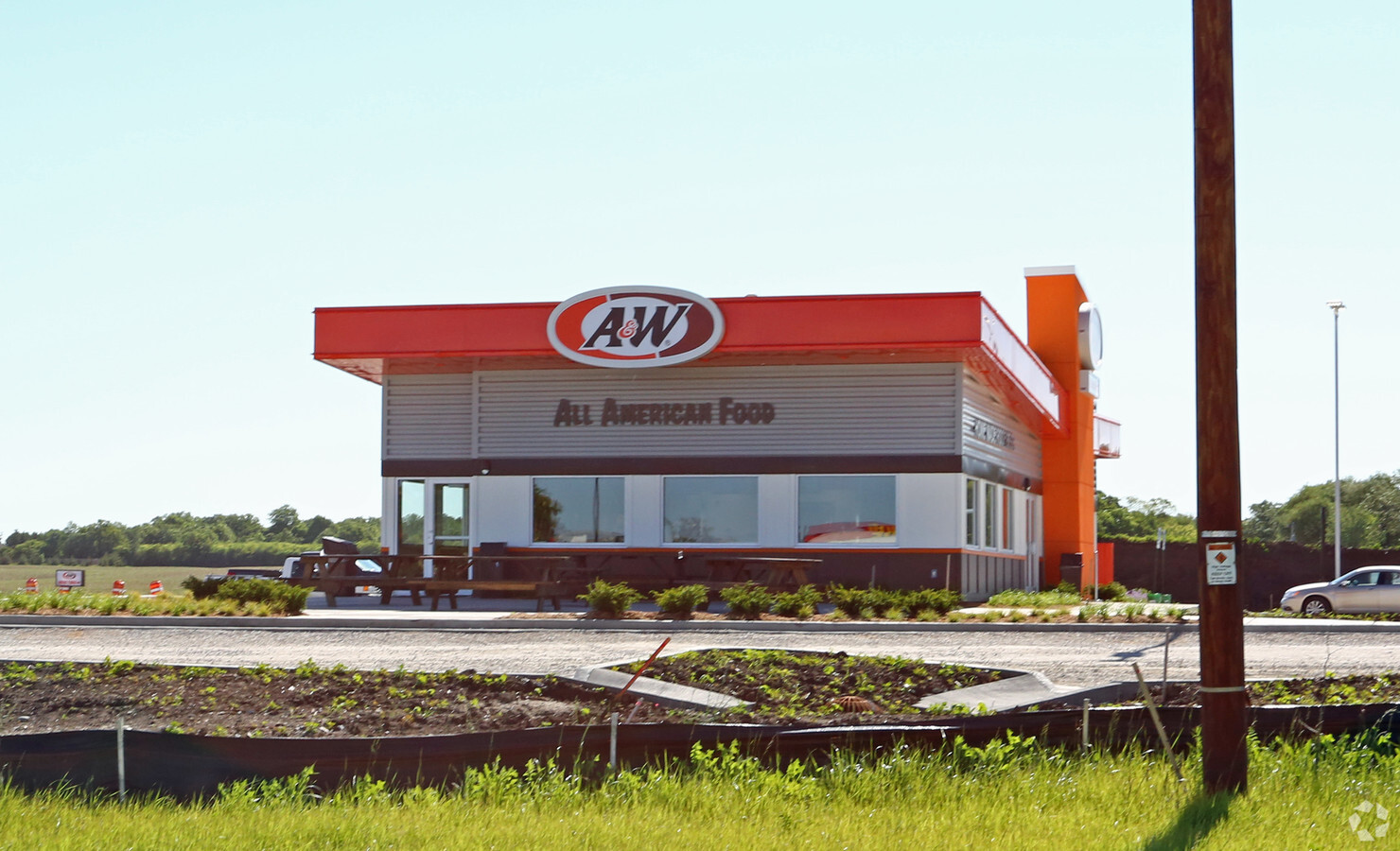
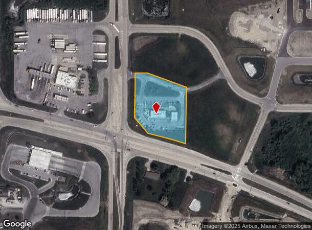
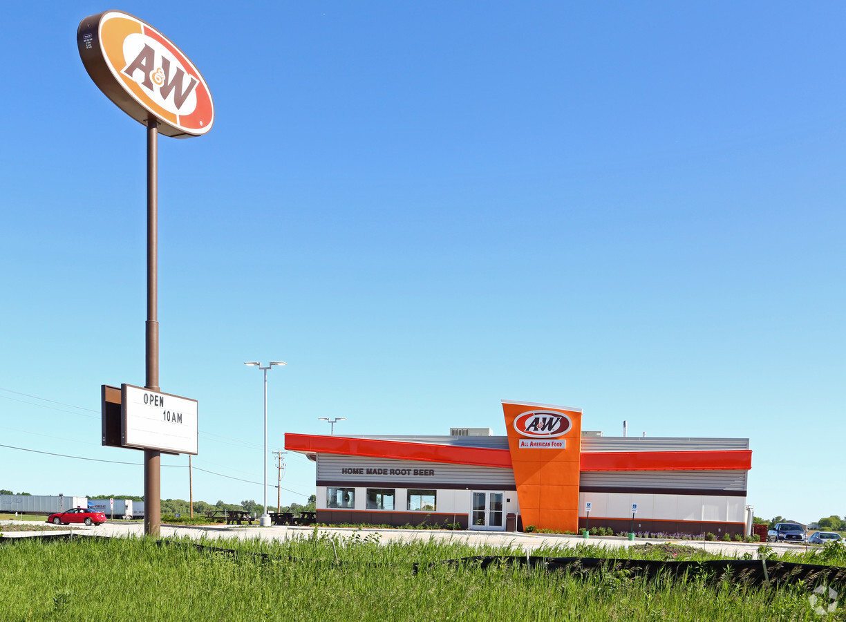
Property Record
13520 Northwestern Ave, Caledonia, WI 53126
NEARBY LISTINGS FOR SALE OR LEASE
Property Detail
13520 Northwestern Ave
Racine, WI
Green Tree Acres
104-042230020200
PT SW1/4 OF NW1/4 & SW1/4 CSM 3076 LOT 2 VOL 10 PG14 PT FROM 104042230020001 IN 2013 FOR 2014 ROLL PT FROM 104042230023001 IN
Commercialnec
Racine
X
Wisconsin
55101C0089D
2
2024
2.11 AC
2024
Racine East
001601
Milwaukee/Madison
DEMOGRAPHICS near 13520 Northwestern Ave
1 Mile
3 Mile
5 Mile
2024 Total Population
241
3,911
17,102
2029 Population
235
3,836
16,905
Pop Growth 2024-2029
(2.49%)
(1.92%)
(1.15%)
Average Age
46
43
44
2024 Total Households
98
1,530
6,575
HH Growth 2024-2029
(3.06%)
(1.96%)
(1.03%)
Median Household Inc
$113,749
$106,703
$98,781
Avg Household Size
2.50
2.50
2.50
2024 Avg HH Vehicles
3.00
3.00
2.00
Median Home Value
$350,000
$330,251
$325,238
Median Year Built
1965
1968
1981
Nearby Places
- Restaurants
- Banks
- Shops
- Fitness
- Groceries
PUBLIC TRANSPORTATION
COMMUTER RAIL
Sturtevant Amtrak Station (Hiawatha Service - Amtrak)
DRIVE
WALK
Distance
Sturtevant Amtrak Station (Hiawatha Service - Amtrak)
11 min
6.7 mi
AIRPORT
General Mitchell International
DRIVE
WALK
Distance
General Mitchell International
19 min
13.8 mi
Freight Ports
Port Milwaukee
DRIVE
WALK
Distance
Port Milwaukee
23 min
17.7 mi
Nearby Properties
Address
Land Use
TOTAL SIZE
Lot Size
Zoning
Address
Land Use
TOTAL SIZE
Lot Size
Zoning
32.09 AC
Address
Land Use
TOTAL SIZE
Lot Size
Zoning
23.32 AC
Address
Land Use
TOTAL SIZE
Lot Size
Zoning
15.37 AC
Address
Land Use
TOTAL SIZE
Lot Size
Zoning
11.74 AC
Address
Land Use
TOTAL SIZE
Lot Size
Zoning
25.08 AC
Address
Land Use
TOTAL SIZE
Lot Size
Zoning
22.08 AC
Address
Land Use
TOTAL SIZE
Lot Size
Zoning
12.42 AC
Address
Land Use
TOTAL SIZE
Lot Size
Zoning
39.67 AC
Address
Land Use
TOTAL SIZE
Lot Size
Zoning
Address
Land Use
TOTAL SIZE
Lot Size
Zoning
3.54 AC
Address
Land Use
TOTAL SIZE
Lot Size
Zoning
Address
Land Use
TOTAL SIZE
Lot Size
Zoning
Address
Land Use
TOTAL SIZE
Lot Size
Zoning
32.28 AC
Address
Land Use
TOTAL SIZE
Lot Size
Zoning
11.72 AC
Address
Land Use
TOTAL SIZE
Lot Size
Zoning
Address
Land Use
TOTAL SIZE
Lot Size
Zoning
4.96 AC
Address
Land Use
TOTAL SIZE
Lot Size
Zoning
39.84 AC
Address
Land Use
TOTAL SIZE
Lot Size
Zoning
13.69 AC
Address
Land Use
TOTAL SIZE
Lot Size
Zoning
6.38 AC
Address
Land Use
TOTAL SIZE
Lot Size
Zoning
Address
Land Use
TOTAL SIZE
Lot Size
Zoning
Address
Land Use
TOTAL SIZE
Lot Size
Zoning
Address
Land Use
TOTAL SIZE
Lot Size
Zoning
2.66 AC
Address
Land Use
TOTAL SIZE
Lot Size
Zoning
19.13 AC
Address
Land Use
TOTAL SIZE
Lot Size
Zoning
Address
Land Use
TOTAL SIZE
Lot Size
Zoning
Address
Land Use
TOTAL SIZE
Lot Size
Zoning
2.68 AC
Address
Land Use
TOTAL SIZE
Lot Size
Zoning
14.29 AC
Address
Land Use
TOTAL SIZE
Lot Size
Zoning
Address
Land Use
TOTAL SIZE
Lot Size
Zoning
4.86 AC
The World's #1 Commercial Real Estate Marketplace
Connect with us
© 2025 CoStar Group
The information above has been obtained from sources believed reliable. While we do not doubt its accuracy we have not verified it and make no guarantee, warranty or representation about it. It is your responsibility to independently confirm its accuracy and completeness. Any projections, opinions, assumptions, or estimates used are for example only and do not represent the current or future performance of the property. The value of this transaction to you depends on tax and other factors which should be evaluated by your tax, financial, and legal advisors. You and your advisors should conduct a careful, independent investigation of the property to determine to your satisfaction the suitability of the property for your needs.