Property Record
1360 Waterville Monclova Rd, Waterville, OH 43566

NEARBY LISTINGS FOR SALE OR LEASE
Property Detail
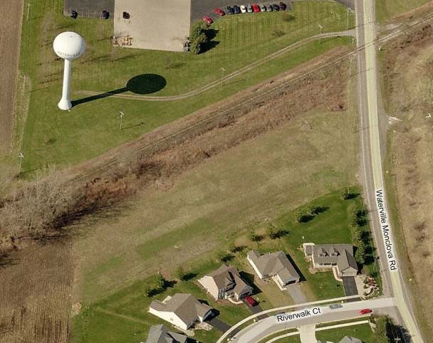
1360 Waterville Monclova Rd
Toledo, OH
River Tr 41
96-60161
RIVER TRACT 41 IRREG 2 AC PCE SLY RR & WOF RD R/W MEAS 90.93
Apartment
Lucas
X
Ohio
39173C0150D
1
2023
2 AC
2023
South/Southwest
008905
Toledo
20,160 SF
DEMOGRAPHICS near 1360 Waterville Monclova Rd
1 Mile
3 Mile
5 Mile
2024 Total Population
2,017
11,232
31,280
2029 Population
1,971
11,259
31,333
Pop Growth 2024-2029
(2.28%)
+ 0.24%
+ 0.17%
Average Age
44
41
41
2024 Total Households
789
4,163
11,743
HH Growth 2024-2029
(2.41%)
+ 0.02%
(0.06%)
Median Household Inc
$74,474
$103,466
$103,888
Avg Household Size
2.40
2.60
2.60
2024 Avg HH Vehicles
2.00
2.00
2.00
Median Home Value
$214,257
$254,929
$277,091
Median Year Built
1975
1993
1999
Nearby Places
- Restaurants
- Banks
- Shops
- Fitness
- Groceries
PUBLIC TRANSPORTATION
AIRPORT
Eugene F Kranz Toledo Express
DRIVE
WALK
Distance
Eugene F Kranz Toledo Express
23 min
9.8 mi
Freight Ports
Port of Toledo
DRIVE
WALK
Distance
Port of Toledo
34 min
21.9 mi
Nearby Properties
Address
Land Use
TOTAL SIZE
Lot Size
Zoning
Address
Land Use
TOTAL SIZE
Lot Size
Zoning
193,333 SF
14.84 AC
NotZoned
Address
Land Use
TOTAL SIZE
Lot Size
Zoning
186,336 SF
14.06 AC
NotZoned
Address
Land Use
TOTAL SIZE
Lot Size
Zoning
16.46 AC
NotZoned
Address
Land Use
TOTAL SIZE
Lot Size
Zoning
87,021 SF
20 AC
23-S1
Address
Land Use
TOTAL SIZE
Lot Size
Zoning
535,433 SF
74.48 AC
17-MX
Address
Land Use
TOTAL SIZE
Lot Size
Zoning
69,139 SF
22.29 AC
39-R1
Address
Land Use
TOTAL SIZE
Lot Size
Zoning
387,456 SF
37.64 AC
22-M2
Address
Land Use
TOTAL SIZE
Lot Size
Zoning
76,002 SF
3.48 AC
NotZoned
Address
Land Use
TOTAL SIZE
Lot Size
Zoning
Address
Land Use
TOTAL SIZE
Lot Size
Zoning
73,656 SF
3.33 AC
NotZoned
Address
Land Use
TOTAL SIZE
Lot Size
Zoning
31,790 SF
9.21 AC
NotZoned
Address
Land Use
TOTAL SIZE
Lot Size
Zoning
14,540 SF
3.76 AC
39-C1
Address
Land Use
TOTAL SIZE
Lot Size
Zoning
87,356 SF
15.39 AC
39-SUP
Address
Land Use
TOTAL SIZE
Lot Size
Zoning
61,710 SF
7 AC
22-RA
Address
Land Use
TOTAL SIZE
Lot Size
Zoning
Address
Land Use
TOTAL SIZE
Lot Size
Zoning
3 AC
NotZoned
Address
Land Use
TOTAL SIZE
Lot Size
Zoning
50,400 SF
124.25 AC
39-SUP
Address
Land Use
TOTAL SIZE
Lot Size
Zoning
35,196 SF
4.52 AC
39-R3
Address
Land Use
TOTAL SIZE
Lot Size
Zoning
63,038 SF
4.74 AC
17-RA
Address
Land Use
TOTAL SIZE
Lot Size
Zoning
39,981 SF
5.50 AC
39-SUP
Address
Land Use
TOTAL SIZE
Lot Size
Zoning
51,512 SF
5.58 AC
39-C1
Address
Land Use
TOTAL SIZE
Lot Size
Zoning
3,024 SF
212.11 AC
Address
Land Use
TOTAL SIZE
Lot Size
Zoning
14,880 SF
36.18 AC
Address
Land Use
TOTAL SIZE
Lot Size
Zoning
38,079 SF
34.62 AC
17-AR
Address
Land Use
TOTAL SIZE
Lot Size
Zoning
1 AC
NotZoned
Address
Land Use
TOTAL SIZE
Lot Size
Zoning
10,796 SF
41.18 AC
Address
Land Use
TOTAL SIZE
Lot Size
Zoning
17,180 SF
29.43 AC
39-P1
Address
Land Use
TOTAL SIZE
Lot Size
Zoning
14,660 SF
4.03 AC
39-C1
Address
Land Use
TOTAL SIZE
Lot Size
Zoning
20,156 SF
35.17 AC
22-A
Address
Land Use
TOTAL SIZE
Lot Size
Zoning
66,000 SF
5.19 AC
39-M1
The World's #1 Commercial Real Estate Marketplace
Connect with us
© 2025 CoStar Group
The information above has been obtained from sources believed reliable. While we do not doubt its accuracy we have not verified it and make no guarantee, warranty or representation about it. It is your responsibility to independently confirm its accuracy and completeness. Any projections, opinions, assumptions, or estimates used are for example only and do not represent the current or future performance of the property. The value of this transaction to you depends on tax and other factors which should be evaluated by your tax, financial, and legal advisors. You and your advisors should conduct a careful, independent investigation of the property to determine to your satisfaction the suitability of the property for your needs.