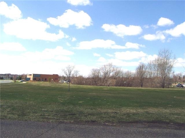
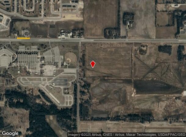
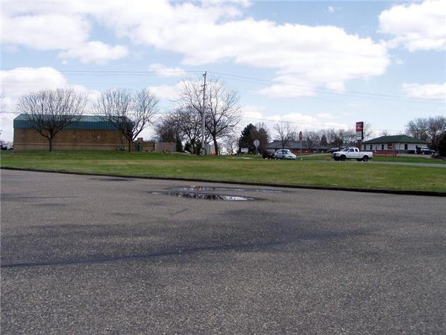
Property Record
1367 145Th St E, Rosemount, MN 55068
NEARBY LISTINGS FOR SALE OR LEASE
-
-
View all Rosemount listings for sale on LoopNet.com
Property Detail
1367 145Th St E
34-02600-70-013
SECTION 26 TWN 115 RANGE 19 26 115 19 S 1/2 OF SEC EX COM NW COR S 137 FT E 1208.89 FT TO BEG S 538.40 FT SLY 141.25 FT ON TANG CURVE CONC TO W RAD 366.97FT C/A 22D06M25S SLY 99.48FT ON REV CUR CON TO E C/A 23D38M14S RAD 241. 12FT S TANG TO CUR 711.5
Warehouse
Dakota
X
Minnesota
27037C0230E
13
2023
259.67 AC
2023
Dakota County Outlying
061003
Minneapolis/St Paul
12,792 SF
Minneapolis-St. Paul-Bloomington, MN-WI
DEMOGRAPHICS near 1367 145Th St E
1 Mile
3 Mile
5 Mile
2024 Total Population
880
11,453
38,633
2029 Population
959
11,912
39,672
Pop Growth 2024-2029
+ 8.98%
+ 4.01%
+ 2.69%
Average Age
36
35
39
2024 Total Households
284
3,803
13,387
HH Growth 2024-2029
+ 8.80%
+ 3.97%
+ 2.70%
Median Household Inc
$152,573
$139,749
$128,619
Avg Household Size
3.10
3.00
2.80
2024 Avg HH Vehicles
2.00
2.00
2.00
Median Home Value
$531,496
$408,363
$381,875
Median Year Built
2010
2006
1997
Nearby Places
- Restaurants
- Banks
- Shops
- Fitness
- Groceries
PUBLIC TRANSPORTATION
AIRPORT
Minneapolis-St Paul International/Wold-Chamberlain
DRIVE
WALK
Distance
Minneapolis-St Paul International/Wold-Chamberlain
28 min
19.4 mi
Freight Ports
Port Milwaukee
DRIVE
WALK
Distance
Port Milwaukee
377 min
341.8 mi
SALE & LEASE HISTORY
LISTING DATE
SALE/LEASE

Sep 24, 2016
For Sale
Nearby Properties
Address
Land Use
TOTAL SIZE
Lot Size
Zoning
Address
Land Use
TOTAL SIZE
Lot Size
Zoning
595.66 AC
Address
Land Use
TOTAL SIZE
Lot Size
Zoning
600 SF
348.83 AC
Address
Land Use
TOTAL SIZE
Lot Size
Zoning
136,416 SF
1.98 AC
Address
Land Use
TOTAL SIZE
Lot Size
Zoning
94,620 SF
1.71 AC
Address
Land Use
TOTAL SIZE
Lot Size
Zoning
569,250 SF
97.05 AC
Address
Land Use
TOTAL SIZE
Lot Size
Zoning
110,696 SF
13.30 AC
Address
Land Use
TOTAL SIZE
Lot Size
Zoning
2,345 SF
626.03 AC
Address
Land Use
TOTAL SIZE
Lot Size
Zoning
58,566 SF
29.59 AC
Address
Land Use
TOTAL SIZE
Lot Size
Zoning
114,778 SF
27.86 AC
Address
Land Use
TOTAL SIZE
Lot Size
Zoning
73,200 SF
8.08 AC
Address
Land Use
TOTAL SIZE
Lot Size
Zoning
129,102 SF
10.16 AC
Address
Land Use
TOTAL SIZE
Lot Size
Zoning
434.99 AC
Address
Land Use
TOTAL SIZE
Lot Size
Zoning
100,904 SF
9.88 AC
Address
Land Use
TOTAL SIZE
Lot Size
Zoning
77,284 SF
15.64 AC
Address
Land Use
TOTAL SIZE
Lot Size
Zoning
634.37 AC
Address
Land Use
TOTAL SIZE
Lot Size
Zoning
33,497 SF
4.28 AC
Address
Land Use
TOTAL SIZE
Lot Size
Zoning
61,107 SF
2.44 AC
Address
Land Use
TOTAL SIZE
Lot Size
Zoning
90,050 SF
28.65 AC
Address
Land Use
TOTAL SIZE
Lot Size
Zoning
54,798 SF
8.09 AC
Address
Land Use
TOTAL SIZE
Lot Size
Zoning
172,581 SF
10.49 AC
Address
Land Use
TOTAL SIZE
Lot Size
Zoning
0.35 AC
Address
Land Use
TOTAL SIZE
Lot Size
Zoning
0.35 AC
Address
Land Use
TOTAL SIZE
Lot Size
Zoning
470.06 AC
Address
Land Use
TOTAL SIZE
Lot Size
Zoning
52,092 SF
10.01 AC
Address
Land Use
TOTAL SIZE
Lot Size
Zoning
44,569 SF
0.56 AC
Address
Land Use
TOTAL SIZE
Lot Size
Zoning
238.57 AC
Address
Land Use
TOTAL SIZE
Lot Size
Zoning
159,414 SF
25.25 AC
Address
Land Use
TOTAL SIZE
Lot Size
Zoning
57,238 SF
51.12 AC
The World's #1 Commercial Real Estate Marketplace
Connect with us
© 2025 CoStar Group
The information above has been obtained from sources believed reliable. While we do not doubt its accuracy we have not verified it and make no guarantee, warranty or representation about it. It is your responsibility to independently confirm its accuracy and completeness. Any projections, opinions, assumptions, or estimates used are for example only and do not represent the current or future performance of the property. The value of this transaction to you depends on tax and other factors which should be evaluated by your tax, financial, and legal advisors. You and your advisors should conduct a careful, independent investigation of the property to determine to your satisfaction the suitability of the property for your needs.