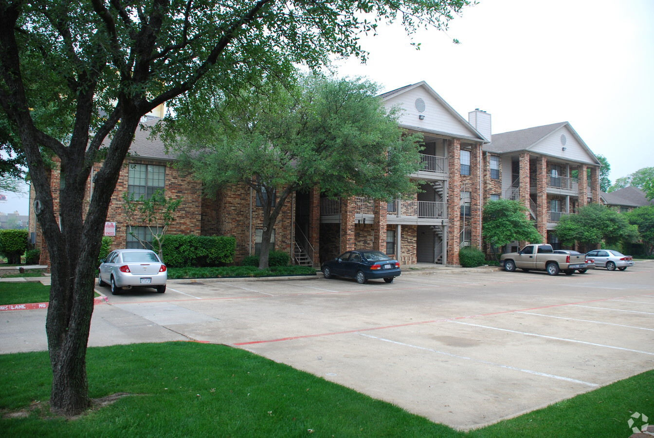
Property Record
1367 E Interstate 30, Garland, TX 75043

NEARBY LISTINGS FOR SALE OR LEASE
Property Detail
1367 E Interstate 30
Dallas-Fort Worth-Arlington, TX
Lakebluff Estates 2
26296680010050000
LAKEBLUFF ESTATES 2 BLK 1 LT 5 ACS 3.833 INT202400021563 DD01312024 CO-DC 2966800100500 2CG29668001
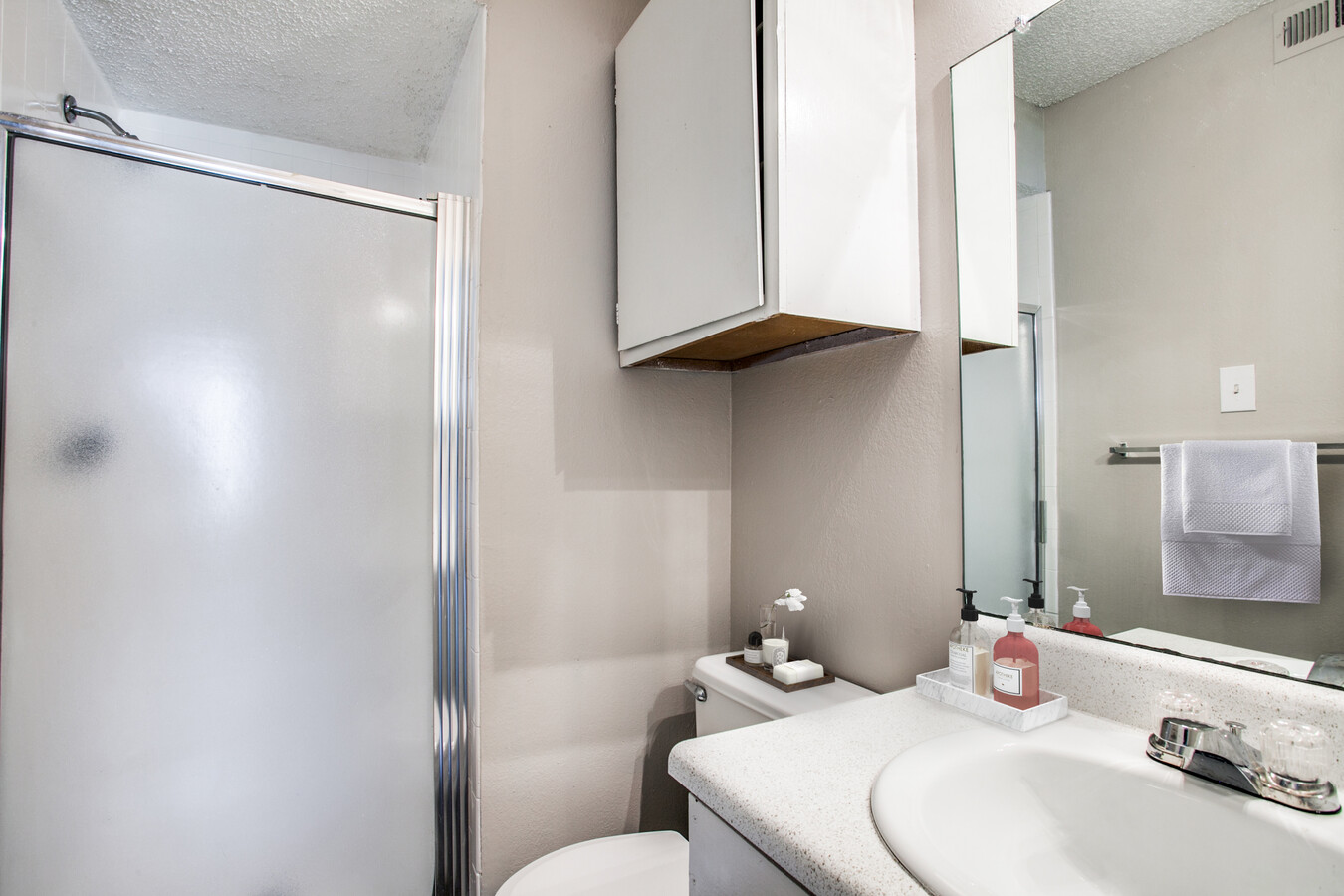
Apartment
Dallas
X
Texas
48257C0025E
5
2023
3.83 AC
2024
Garland
018137
Dallas/Ft Worth
70,632 SF
DEMOGRAPHICS near 1367 E Interstate 30
1 Mile
3 Mile
5 Mile
2024 Total Population
7,165
51,994
161,661
2029 Population
7,220
52,233
168,231
Pop Growth 2024-2029
+ 0.77%
+ 0.46%
+ 4.06%
Average Age
36
38
39
2024 Total Households
3,077
18,928
55,818
HH Growth 2024-2029
+ 0.55%
+ 0.36%
+ 4.50%
Median Household Inc
$48,492
$74,150
$81,081
Avg Household Size
2.20
2.70
2.80
2024 Avg HH Vehicles
2.00
2.00
2.00
Median Home Value
$217,619
$263,971
$261,836
Median Year Built
1983
1987
1986
Nearby Places
- Restaurants
- Banks
- Shops
- Fitness
- Groceries
PUBLIC TRANSPORTATION
AIRPORT
Dallas Love Field
DRIVE
WALK
Distance
Dallas Love Field
32 min
20.9 mi
Dallas-Fort Worth International
DRIVE
WALK
Distance
Dallas-Fort Worth International
44 min
37.6 mi
Freight Ports
Port of Shreveport
DRIVE
WALK
Distance
Port of Shreveport
207 min
190.5 mi
Nearby Properties
Address
Land Use
TOTAL SIZE
Lot Size
Zoning
Address
Land Use
TOTAL SIZE
Lot Size
Zoning
382,113 SF
10.18 AC
Z80
Address
Land Use
TOTAL SIZE
Lot Size
Zoning
559,567 SF
10.85 AC
Z80
Address
Land Use
TOTAL SIZE
Lot Size
Zoning
260,782 SF
16.30 AC
Z77
Address
Land Use
TOTAL SIZE
Lot Size
Zoning
228,458 SF
5.56 AC
Z236
Address
Land Use
TOTAL SIZE
Lot Size
Zoning
313,217 SF
3.60 AC
Z205
Address
Land Use
TOTAL SIZE
Lot Size
Zoning
178,125 SF
10.50 AC
Z77
Address
Land Use
TOTAL SIZE
Lot Size
Zoning
336,035 SF
21.78 AC
Z160
Address
Land Use
TOTAL SIZE
Lot Size
Zoning
197,284 SF
10.70 AC
Z02
Address
Land Use
TOTAL SIZE
Lot Size
Zoning
0.12 AC
Z63
Address
Land Use
TOTAL SIZE
Lot Size
Zoning
195,817 SF
9.28 AC
Z160
Address
Land Use
TOTAL SIZE
Lot Size
Zoning
126,465 SF
10.09 AC
Z239
Address
Land Use
TOTAL SIZE
Lot Size
Zoning
223,216 SF
13.79 AC
Z239
Address
Land Use
TOTAL SIZE
Lot Size
Zoning
66,131 SF
1.52 AC
Z85
Address
Land Use
TOTAL SIZE
Lot Size
Zoning
92,413 SF
4.98 AC
Z85
Address
Land Use
TOTAL SIZE
Lot Size
Zoning
43,600 SF
62.86 AC
Z306
Address
Land Use
TOTAL SIZE
Lot Size
Zoning
83,154 SF
14.39 AC
Z386
Address
Land Use
TOTAL SIZE
Lot Size
Zoning
0.01 AC
Z239
Address
Land Use
TOTAL SIZE
Lot Size
Zoning
134,287 SF
8.25 AC
Z160
Address
Land Use
TOTAL SIZE
Lot Size
Zoning
130,696 SF
16.17 AC
Z85
Address
Land Use
TOTAL SIZE
Lot Size
Zoning
106,342 SF
7.38 AC
Z160
Address
Land Use
TOTAL SIZE
Lot Size
Zoning
71,892 SF
5.35 AC
Z160
Address
Land Use
TOTAL SIZE
Lot Size
Zoning
115,665 SF
6.79 AC
Z239
Address
Land Use
TOTAL SIZE
Lot Size
Zoning
98,171 SF
9.78 AC
Z160
Address
Land Use
TOTAL SIZE
Lot Size
Zoning
178,197 SF
4.42 AC
Z239
Address
Land Use
TOTAL SIZE
Lot Size
Zoning
89,380 SF
4.32 AC
Z160
Address
Land Use
TOTAL SIZE
Lot Size
Zoning
100 SF
58.70 AC
Z02
Address
Land Use
TOTAL SIZE
Lot Size
Zoning
80,535 SF
2.35 AC
Z85
Address
Land Use
TOTAL SIZE
Lot Size
Zoning
125,718 SF
8.48 AC
Z160
Address
Land Use
TOTAL SIZE
Lot Size
Zoning
18,653 SF
11.98 AC
Z85
Address
Land Use
TOTAL SIZE
Lot Size
Zoning
32,182 SF
2.10 AC
Z85
The World's #1 Commercial Real Estate Marketplace
Connect with us
© 2025 CoStar Group
The information above has been obtained from sources believed reliable. While we do not doubt its accuracy we have not verified it and make no guarantee, warranty or representation about it. It is your responsibility to independently confirm its accuracy and completeness. Any projections, opinions, assumptions, or estimates used are for example only and do not represent the current or future performance of the property. The value of this transaction to you depends on tax and other factors which should be evaluated by your tax, financial, and legal advisors. You and your advisors should conduct a careful, independent investigation of the property to determine to your satisfaction the suitability of the property for your needs.