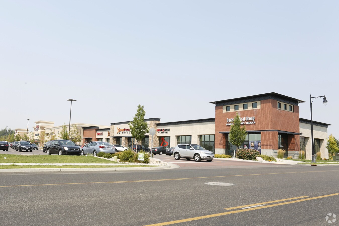
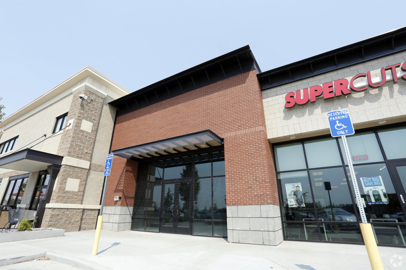
Property Record
1370 W 200 N, Kaysville, UT 84037

NEARBY LISTINGS FOR SALE OR LEASE
Property Detail
1370 W 200 N
Ogden-Clearfield, UT
Kaysville Neighborhood Center Subdivisio
11-743-0001
ALL OF LOT 1, KAYSVILLE NEIGHBORHOOD CENTER SUBDIVISION. CONT. 10.62500 ACRES
Supermarket
Davis
X
Utah
49011C0237F
1
2024
10.62 AC
2024
Davis/Weber Counties
126107
Salt Lake City
119,988 SF
DEMOGRAPHICS near 1370 W 200 N
1 Mile
3 Mile
5 Mile
2024 Total Population
11,146
72,549
162,821
2029 Population
11,846
76,894
172,966
Pop Growth 2024-2029
+ 6.28%
+ 5.99%
+ 6.23%
Average Age
33
35
34
2024 Total Households
2,932
21,431
49,829
HH Growth 2024-2029
+ 6.34%
+ 5.99%
+ 6.32%
Median Household Inc
$138,730
$99,919
$94,927
Avg Household Size
3.80
3.40
3.20
2024 Avg HH Vehicles
3.00
2.00
2.00
Median Home Value
$538,615
$463,407
$447,876
Median Year Built
2002
1992
1995
Nearby Places
- Restaurants
- Banks
- Shops
- Fitness
- Groceries
PUBLIC TRANSPORTATION
COMMUTER RAIL
Layton (FrontRunner North - Utah Transit Authority (UTA))
DRIVE
WALK
Distance
Layton (FrontRunner North - Utah Transit Authority (UTA))
7 min
2.6 mi
Farmington (FrontRunner North - Utah Transit Authority (UTA))
DRIVE
WALK
Distance
Farmington (FrontRunner North - Utah Transit Authority (UTA))
9 min
6.5 mi
AIRPORT
Salt Lake City International
DRIVE
WALK
Distance
Salt Lake City International
25 min
25.4 mi
Nearby Properties
Address
Land Use
TOTAL SIZE
Lot Size
Zoning
Address
Land Use
TOTAL SIZE
Lot Size
Zoning
346,223 SF
36.29 AC
BRP
Address
Land Use
TOTAL SIZE
Lot Size
Zoning
1,484 SF
10.34 AC
Address
Land Use
TOTAL SIZE
Lot Size
Zoning
455,336 SF
22.93 AC
Address
Land Use
TOTAL SIZE
Lot Size
Zoning
140,364 SF
6.47 AC
RH
Address
Land Use
TOTAL SIZE
Lot Size
Zoning
218,896 SF
2.76 AC
MUTOD
Address
Land Use
TOTAL SIZE
Lot Size
Zoning
100,348 SF
21.74 AC
R18
Address
Land Use
TOTAL SIZE
Lot Size
Zoning
102,978 SF
6.42 AC
Address
Land Use
TOTAL SIZE
Lot Size
Zoning
67,233 SF
32.52 AC
A1
Address
Land Use
TOTAL SIZE
Lot Size
Zoning
147,675 SF
11.25 AC
C-H
Address
Land Use
TOTAL SIZE
Lot Size
Zoning
111,724 SF
10.72 AC
RA
Address
Land Use
TOTAL SIZE
Lot Size
Zoning
94,532 SF
7.07 AC
Address
Land Use
TOTAL SIZE
Lot Size
Zoning
126,304 SF
4.70 AC
BRP
Address
Land Use
TOTAL SIZE
Lot Size
Zoning
67,536 SF
13.16 AC
LI
Address
Land Use
TOTAL SIZE
Lot Size
Zoning
104,342 SF
18.54 AC
M2
Address
Land Use
TOTAL SIZE
Lot Size
Zoning
90,485 SF
3.23 AC
Address
Land Use
TOTAL SIZE
Lot Size
Zoning
42,472 SF
2.98 AC
CH
Address
Land Use
TOTAL SIZE
Lot Size
Zoning
61,864 SF
11.66 AC
Address
Land Use
TOTAL SIZE
Lot Size
Zoning
101,255 SF
2.94 AC
PB
Address
Land Use
TOTAL SIZE
Lot Size
Zoning
17,234 SF
2.71 AC
MUTOD
Address
Land Use
TOTAL SIZE
Lot Size
Zoning
52,223 SF
7.01 AC
Address
Land Use
TOTAL SIZE
Lot Size
Zoning
43,620 SF
67.58 AC
PU
Address
Land Use
TOTAL SIZE
Lot Size
Zoning
26,856 SF
2.77 AC
RM2PR
Address
Land Use
TOTAL SIZE
Lot Size
Zoning
399,469 SF
7.88 AC
M2
Address
Land Use
TOTAL SIZE
Lot Size
Zoning
41,075 SF
5.28 AC
Address
Land Use
TOTAL SIZE
Lot Size
Zoning
1,120 SF
45.92 AC
PU
Address
Land Use
TOTAL SIZE
Lot Size
Zoning
142,429 SF
15.29 AC
CH
The World's #1 Commercial Real Estate Marketplace
Connect with us
© 2025 CoStar Group
The information above has been obtained from sources believed reliable. While we do not doubt its accuracy we have not verified it and make no guarantee, warranty or representation about it. It is your responsibility to independently confirm its accuracy and completeness. Any projections, opinions, assumptions, or estimates used are for example only and do not represent the current or future performance of the property. The value of this transaction to you depends on tax and other factors which should be evaluated by your tax, financial, and legal advisors. You and your advisors should conduct a careful, independent investigation of the property to determine to your satisfaction the suitability of the property for your needs.