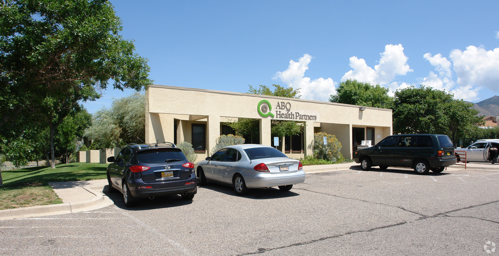
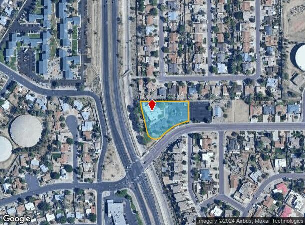
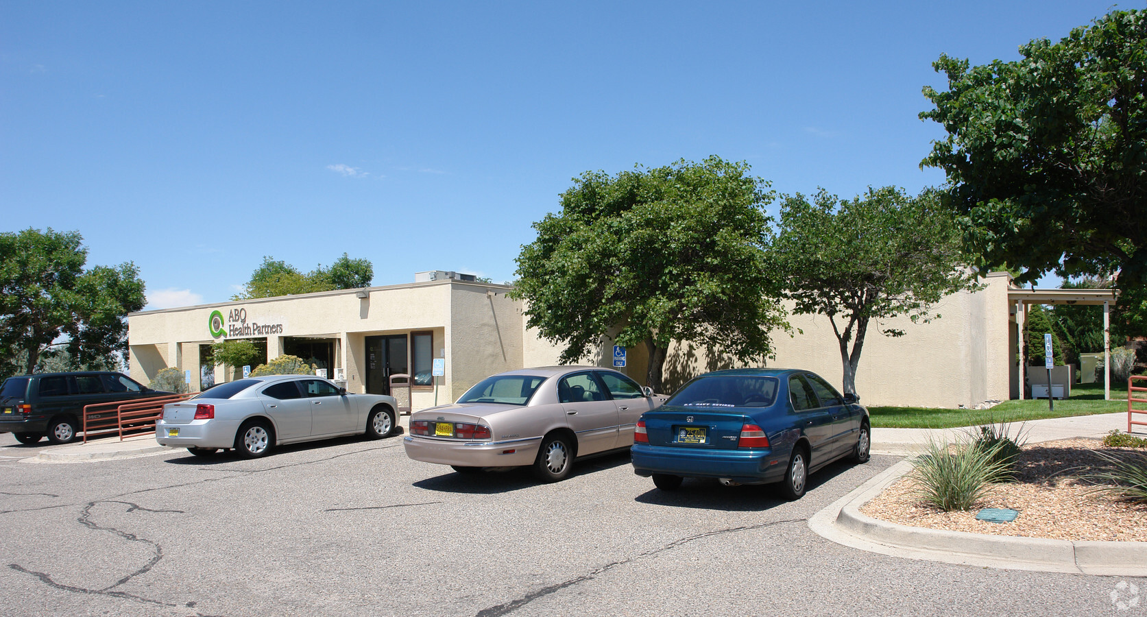
Property Record
13701 Encantado Rd Ne, Albuquerque, NM 87123
NEARBY LISTINGS FOR SALE OR LEASE
Property Detail
13701 Encantado Rd Ne
Albuquerque, NM
Blk H Cenaroca Subd
1-023-057-042122-3-10-02
TR A BLK H OF AMENDED PLAT OF TR A A REPL OF LTS 1 & 2 BLK H CENAROCA SUBD CONT 1.4124 AC
Medicalbuilding
Bernalillo
X
New Mexico
35001C0378G
1-2
2023
1.41 AC
2023
East Outlying
000711
Albuquerque
7,773 SF
DEMOGRAPHICS near 13701 Encantado Rd Ne
1 Mile
3 Mile
5 Mile
2024 Total Population
16,836
80,660
171,259
2029 Population
16,937
80,909
171,639
Pop Growth 2024-2029
+ 0.60%
+ 0.31%
+ 0.22%
Average Age
41
41
42
2024 Total Households
7,535
34,571
74,903
HH Growth 2024-2029
+ 0.48%
+ 0.23%
+ 0.16%
Median Household Inc
$54,152
$62,942
$55,868
Avg Household Size
2.20
2.30
2.20
2024 Avg HH Vehicles
2.00
2.00
2.00
Median Home Value
$244,977
$238,936
$246,025
Median Year Built
1978
1978
1975
Nearby Places
- Restaurants
- Banks
- Shops
- Fitness
- Groceries
PUBLIC TRANSPORTATION
AIRPORT
Albuquerque International Sunport
Drive
Walk
Distance
Albuquerque International Sunport
23 min
9.2 mi
Freight Ports
Tulsa Port Of Catoosa
Drive
Walk
Distance
Tulsa Port Of Catoosa
678 min
653.7 mi
Nearby Properties
Address
Land Use
TOTAL SIZE
Lot Size
Zoning
Address
Land Use
TOTAL SIZE
Lot Size
Zoning
264043
61.17 AC
Address
Land Use
TOTAL SIZE
Lot Size
Zoning
26.76 AC
Address
Land Use
TOTAL SIZE
Lot Size
Zoning
40452
2.41 AC
R3
Address
Land Use
TOTAL SIZE
Lot Size
Zoning
7100
19 AC
Address
Land Use
TOTAL SIZE
Lot Size
Zoning
127980
17.72 AC
Address
Land Use
TOTAL SIZE
Lot Size
Zoning
34.62 AC
Address
Land Use
TOTAL SIZE
Lot Size
Zoning
104474
7.04 AC
Address
Land Use
TOTAL SIZE
Lot Size
Zoning
138432
12.50 AC
Address
Land Use
TOTAL SIZE
Lot Size
Zoning
14123
31.84 AC
Address
Land Use
TOTAL SIZE
Lot Size
Zoning
206376
10.11 AC
Address
Land Use
TOTAL SIZE
Lot Size
Zoning
48.44 AC
Address
Land Use
TOTAL SIZE
Lot Size
Zoning
150398
17.53 AC
Address
Land Use
TOTAL SIZE
Lot Size
Zoning
Address
Land Use
TOTAL SIZE
Lot Size
Zoning
63.90 AC
Address
Land Use
TOTAL SIZE
Lot Size
Zoning
164248
11.07 AC
Address
Land Use
TOTAL SIZE
Lot Size
Zoning
40840
9.95 AC
Address
Land Use
TOTAL SIZE
Lot Size
Zoning
217804
17.94 AC
Address
Land Use
TOTAL SIZE
Lot Size
Zoning
24768
10.14 AC
Address
Land Use
TOTAL SIZE
Lot Size
Zoning
13.39 AC
Address
Land Use
TOTAL SIZE
Lot Size
Zoning
45829
9.70 AC
Address
Land Use
TOTAL SIZE
Lot Size
Zoning
36720
11.91 AC
Address
Land Use
TOTAL SIZE
Lot Size
Zoning
128.07 AC
Address
Land Use
TOTAL SIZE
Lot Size
Zoning
Address
Land Use
TOTAL SIZE
Lot Size
Zoning
93203
23.10 AC
Address
Land Use
TOTAL SIZE
Lot Size
Zoning
71040
11.46 AC
Address
Land Use
TOTAL SIZE
Lot Size
Zoning
74393
4.33 AC
Address
Land Use
TOTAL SIZE
Lot Size
Zoning
14312
5.62 AC
Address
Land Use
TOTAL SIZE
Lot Size
Zoning
200833
5.32 AC
Address
Land Use
TOTAL SIZE
Lot Size
Zoning
15743
5.50 AC
Address
Land Use
TOTAL SIZE
Lot Size
Zoning
2241
53.90 AC
Start a new search to find other properties for sale or lease
Connect with us
© 2024 CoStar Group
The information above has been obtained from sources believed reliable. While we do not doubt its accuracy we have not verified it and make no guarantee, warranty or representation about it. It is your responsibility to independently confirm its accuracy and completeness. Any projections, opinions, assumptions, or estimates used are for example only and do not represent the current or future performance of the property. The value of this transaction to you depends on tax and other factors which should be evaluated by your tax, financial, and legal advisors. You and your advisors should conduct a careful, independent investigation of the property to determine to your satisfaction the suitability of the property for your needs.