Property Record
1373 E 10600 S, Sandy, UT 84092


NEARBY LISTINGS FOR SALE OR LEASE
Property Detail
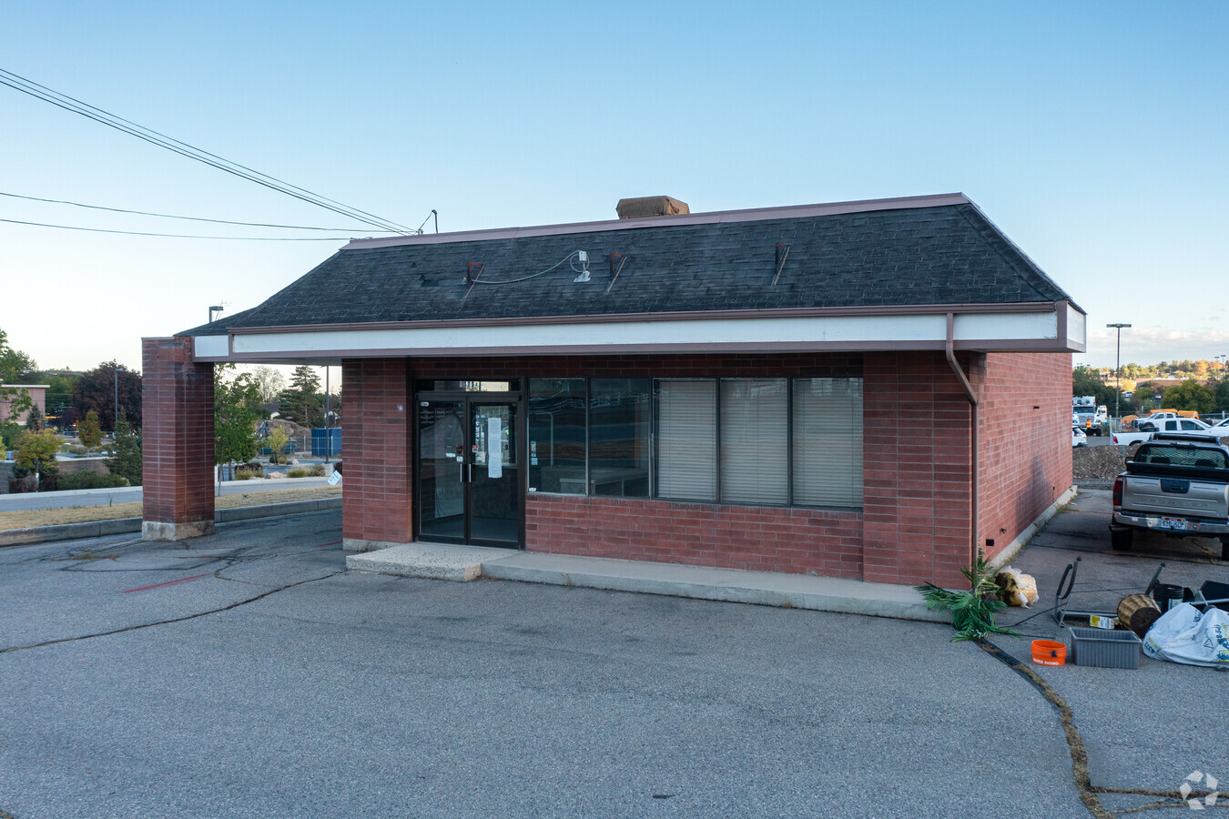
1373 E 10600 S
28-16-152-015-0000
BEG N 76.74 FT & E 375.39 FT FR W 1/4 COR OF SEC 16, T 3S, R1E, S L M; N 103 FT; E 116 FT; S 103.8 FT; N 89^5740 W 116FT TO BEG. 0.28 AC M OR L. 5534-1972, 1975, 1989 THRU 2 01, 5154-1104, 5145-687 5831-2169 7039-0316 7450-0149 07570-0001
Restaurantdrivein
Salt Lake
X
Utah
49035C0461G
0.28 AC
2023
Southeast Valley
2023
Salt Lake City
112813
Salt Lake City, UT
1,500 SF
DEMOGRAPHICS near 1373 E 10600 S
1 Mile
3 Mile
5 Mile
2024 Total Population
12,862
103,338
237,889
2029 Population
12,875
104,154
240,963
Pop Growth 2024-2029
+ 0.10%
+ 0.79%
+ 1.29%
Average Age
39
39
38
2024 Total Households
4,108
34,797
81,810
HH Growth 2024-2029
(0.10%)
+ 0.77%
+ 1.27%
Median Household Inc
$106,788
$104,669
$94,622
Avg Household Size
3.10
2.90
2.80
2024 Avg HH Vehicles
2.00
2.00
2.00
Median Home Value
$469,654
$537,886
$540,798
Median Year Built
1978
1986
1989
Nearby Places
- Restaurants
- Banks
- Shops
- Fitness
- Groceries
PUBLIC TRANSPORTATION
COMMUTER RAIL
South Jordan Station (FrontRunner - Utah Transit Authority (UTA))
Drive
Walk
Distance
South Jordan Station (FrontRunner - Utah Transit Authority (UTA))
7 min
3.1 mi
Draper Station (FrontRunner - Utah Transit Authority (UTA))
Drive
Walk
Distance
Draper Station (FrontRunner - Utah Transit Authority (UTA))
13 min
6.0 mi
AIRPORT
Salt Lake City International
Drive
Walk
Distance
Salt Lake City International
29 min
21.9 mi
Provo Municipal
Drive
Walk
Distance
Provo Municipal
46 min
33.5 mi
Freight Ports
Port of Stockton
Drive
Walk
Distance
Port of Stockton
730 min
712.3 mi
SALE & LEASE HISTORY
LISTING DATE
SALE/LEASE

Nov 05, 2021
For Lease
Jul 27, 2022
For Sale
Aug 20, 2020
For Sale
Nearby Properties
Address
Land Use
TOTAL SIZE
Lot Size
Zoning
Address
Land Use
TOTAL SIZE
Lot Size
Zoning
512301
25.39 AC
SD(H)
Address
Land Use
TOTAL SIZE
Lot Size
Zoning
512301
25.39 AC
SD(H)
Address
Land Use
TOTAL SIZE
Lot Size
Zoning
553122
13.64 AC
SD-X
Address
Land Use
TOTAL SIZE
Lot Size
Zoning
566327
7.02 AC
CBD-O
Address
Land Use
TOTAL SIZE
Lot Size
Zoning
258000
13.25 AC
1D
Address
Land Use
TOTAL SIZE
Lot Size
Zoning
155565
0.89 AC
LARA
Address
Land Use
TOTAL SIZE
Lot Size
Zoning
106318
4.46 AC
CBD-O
Address
Land Use
TOTAL SIZE
Lot Size
Zoning
164539
5.29 AC
MU
Address
Land Use
TOTAL SIZE
Lot Size
Zoning
124434
13.64 AC
PUD-15
Address
Land Use
TOTAL SIZE
Lot Size
Zoning
376067
6.05 AC
MU
Address
Land Use
TOTAL SIZE
Lot Size
Zoning
81865
19.46 AC
Z-C-FF
Address
Land Use
TOTAL SIZE
Lot Size
Zoning
186651
35.87 AC
C-R
Address
Land Use
TOTAL SIZE
Lot Size
Zoning
278503
13.90 AC
CSD-DD
Address
Land Use
TOTAL SIZE
Lot Size
Zoning
192626
5.72 AC
CF
Address
Land Use
TOTAL SIZE
Lot Size
Zoning
101790
5.69 AC
PUD(16
Address
Land Use
TOTAL SIZE
Lot Size
Zoning
379911
5.78 AC
mu
Address
Land Use
TOTAL SIZE
Lot Size
Zoning
34872
11.59 AC
c-f
Address
Land Use
TOTAL SIZE
Lot Size
Zoning
176826
6.13 AC
SD(H)
Address
Land Use
TOTAL SIZE
Lot Size
Zoning
470856
10.74 AC
CBDO
Address
Land Use
TOTAL SIZE
Lot Size
Zoning
280668
12 AC
CBD
Address
Land Use
TOTAL SIZE
Lot Size
Zoning
200922
3.82 AC
2000
Address
Land Use
TOTAL SIZE
Lot Size
Zoning
465026
5.36 AC
CBD
Address
Land Use
TOTAL SIZE
Lot Size
Zoning
85549
2.37 AC
CBD-O
Address
Land Use
TOTAL SIZE
Lot Size
Zoning
328268
13.37 AC
Address
Land Use
TOTAL SIZE
Lot Size
Zoning
185116
14.49 AC
PUD-10
Address
Land Use
TOTAL SIZE
Lot Size
Zoning
551648
31.71 AC
C B D
Address
Land Use
TOTAL SIZE
Lot Size
Zoning
315124
40 AC
1110
Address
Land Use
TOTAL SIZE
Lot Size
Zoning
198479
2.52 AC
MU
Address
Land Use
TOTAL SIZE
Lot Size
Zoning
276600
8.15 AC
TOD-MU
Address
Land Use
TOTAL SIZE
Lot Size
Zoning
146280
0.01 AC
CBD
Start a new search to find other properties for sale or lease
Connect with us
© 2024 CoStar Group
The information above has been obtained from sources believed reliable. While we do not doubt its accuracy we have not verified it and make no guarantee, warranty or representation about it. It is your responsibility to independently confirm its accuracy and completeness. Any projections, opinions, assumptions, or estimates used are for example only and do not represent the current or future performance of the property. The value of this transaction to you depends on tax and other factors which should be evaluated by your tax, financial, and legal advisors. You and your advisors should conduct a careful, independent investigation of the property to determine to your satisfaction the suitability of the property for your needs.