Property Record
13875 Graphite Rd, Tomah, WI 54660

NEARBY LISTINGS FOR SALE OR LEASE
-
-
View all Tomah listings for sale on LoopNet.com
Property Detail
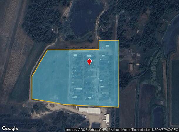
13875 Graphite Rd
042-00053-1000
LOT 2 OF 27CSM115 #660573, BEING PRT OF LOT 1 & OUTLOT OF 23CSM173 #603099 & PRT OF LOT 1 OF 24CSM137 #613543, BEING PRT OF T
Commercialnec
Monroe
X
Wisconsin
55081C0402D
2
2024
10 AC
2024
La Crosse/Onalaska
950700
Other Market Areas
DEMOGRAPHICS near 13875 Graphite Rd
1 Mile
3 Mile
5 Mile
2024 Total Population
196
7,859
13,640
2029 Population
196
7,903
13,749
Pop Growth 2024-2029
0.00%
+ 0.56%
+ 0.80%
Average Age
42
40
40
2024 Total Households
80
3,452
5,743
HH Growth 2024-2029
(1.25%)
+ 0.41%
+ 0.70%
Median Household Inc
$78,125
$50,769
$58,978
Avg Household Size
2.40
2.20
2.30
2024 Avg HH Vehicles
2.00
2.00
2.00
Median Home Value
$179,629
$141,215
$159,907
Median Year Built
1987
1972
1981
Nearby Places
- Restaurants
- Banks
- Shops
- Fitness
- Groceries
PUBLIC TRANSPORTATION
COMMUTER RAIL
Tomah Amtrak Station (Empire Builder - Amtrak)
DRIVE
WALK
Distance
Tomah Amtrak Station (Empire Builder - Amtrak)
8 min
3.7 mi
Freight Ports
Port Milwaukee
DRIVE
WALK
Distance
Port Milwaukee
187 min
166.5 mi
SALE & LEASE HISTORY
LISTING DATE
SALE/LEASE

Sep 29, 2016
For Sale
Nearby Properties
Address
Land Use
TOTAL SIZE
Lot Size
Zoning
Address
Land Use
TOTAL SIZE
Lot Size
Zoning
190.39 AC
Address
Land Use
TOTAL SIZE
Lot Size
Zoning
35.22 AC
Address
Land Use
TOTAL SIZE
Lot Size
Zoning
275.78 AC
Address
Land Use
TOTAL SIZE
Lot Size
Zoning
27.60 AC
Address
Land Use
TOTAL SIZE
Lot Size
Zoning
38.36 AC
Address
Land Use
TOTAL SIZE
Lot Size
Zoning
0.70 AC
Address
Land Use
TOTAL SIZE
Lot Size
Zoning
18.27 AC
Address
Land Use
TOTAL SIZE
Lot Size
Zoning
12.65 AC
Address
Land Use
TOTAL SIZE
Lot Size
Zoning
16.02 AC
Address
Land Use
TOTAL SIZE
Lot Size
Zoning
11.92 AC
Address
Land Use
TOTAL SIZE
Lot Size
Zoning
25.32 AC
Address
Land Use
TOTAL SIZE
Lot Size
Zoning
16.06 AC
Address
Land Use
TOTAL SIZE
Lot Size
Zoning
13.19 AC
Address
Land Use
TOTAL SIZE
Lot Size
Zoning
18.35 AC
Address
Land Use
TOTAL SIZE
Lot Size
Zoning
5.95 AC
Address
Land Use
TOTAL SIZE
Lot Size
Zoning
19.29 AC
Address
Land Use
TOTAL SIZE
Lot Size
Zoning
2.85 AC
Address
Land Use
TOTAL SIZE
Lot Size
Zoning
0.26 AC
Address
Land Use
TOTAL SIZE
Lot Size
Zoning
3.85 AC
Address
Land Use
TOTAL SIZE
Lot Size
Zoning
5.61 AC
Address
Land Use
TOTAL SIZE
Lot Size
Zoning
2.71 AC
Address
Land Use
TOTAL SIZE
Lot Size
Zoning
0.74 AC
Address
Land Use
TOTAL SIZE
Lot Size
Zoning
1.45 AC
Address
Land Use
TOTAL SIZE
Lot Size
Zoning
Address
Land Use
TOTAL SIZE
Lot Size
Zoning
5.71 AC
Address
Land Use
TOTAL SIZE
Lot Size
Zoning
29.96 AC
Address
Land Use
TOTAL SIZE
Lot Size
Zoning
1.52 AC
Address
Land Use
TOTAL SIZE
Lot Size
Zoning
1.27 AC
Address
Land Use
TOTAL SIZE
Lot Size
Zoning
9.50 AC
Address
Land Use
TOTAL SIZE
Lot Size
Zoning
10.20 AC
The World's #1 Commercial Real Estate Marketplace
Connect with us
© 2025 CoStar Group
The information above has been obtained from sources believed reliable. While we do not doubt its accuracy we have not verified it and make no guarantee, warranty or representation about it. It is your responsibility to independently confirm its accuracy and completeness. Any projections, opinions, assumptions, or estimates used are for example only and do not represent the current or future performance of the property. The value of this transaction to you depends on tax and other factors which should be evaluated by your tax, financial, and legal advisors. You and your advisors should conduct a careful, independent investigation of the property to determine to your satisfaction the suitability of the property for your needs.