Property Record
1400 Clarewood Dr, San Marcos, TX 78666
NEARBY LISTINGS FOR SALE OR LEASE
Property Detail
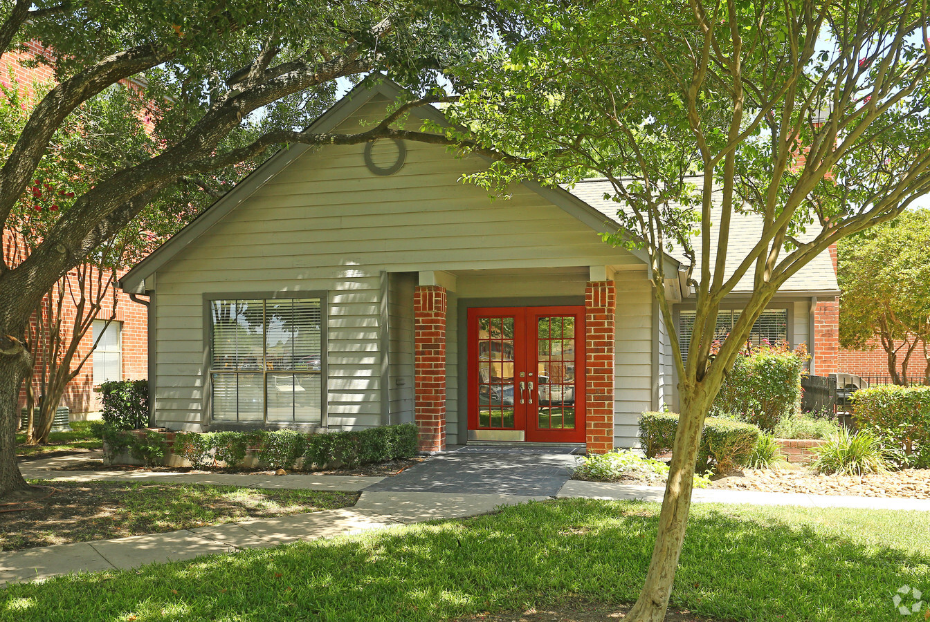
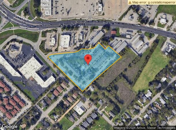
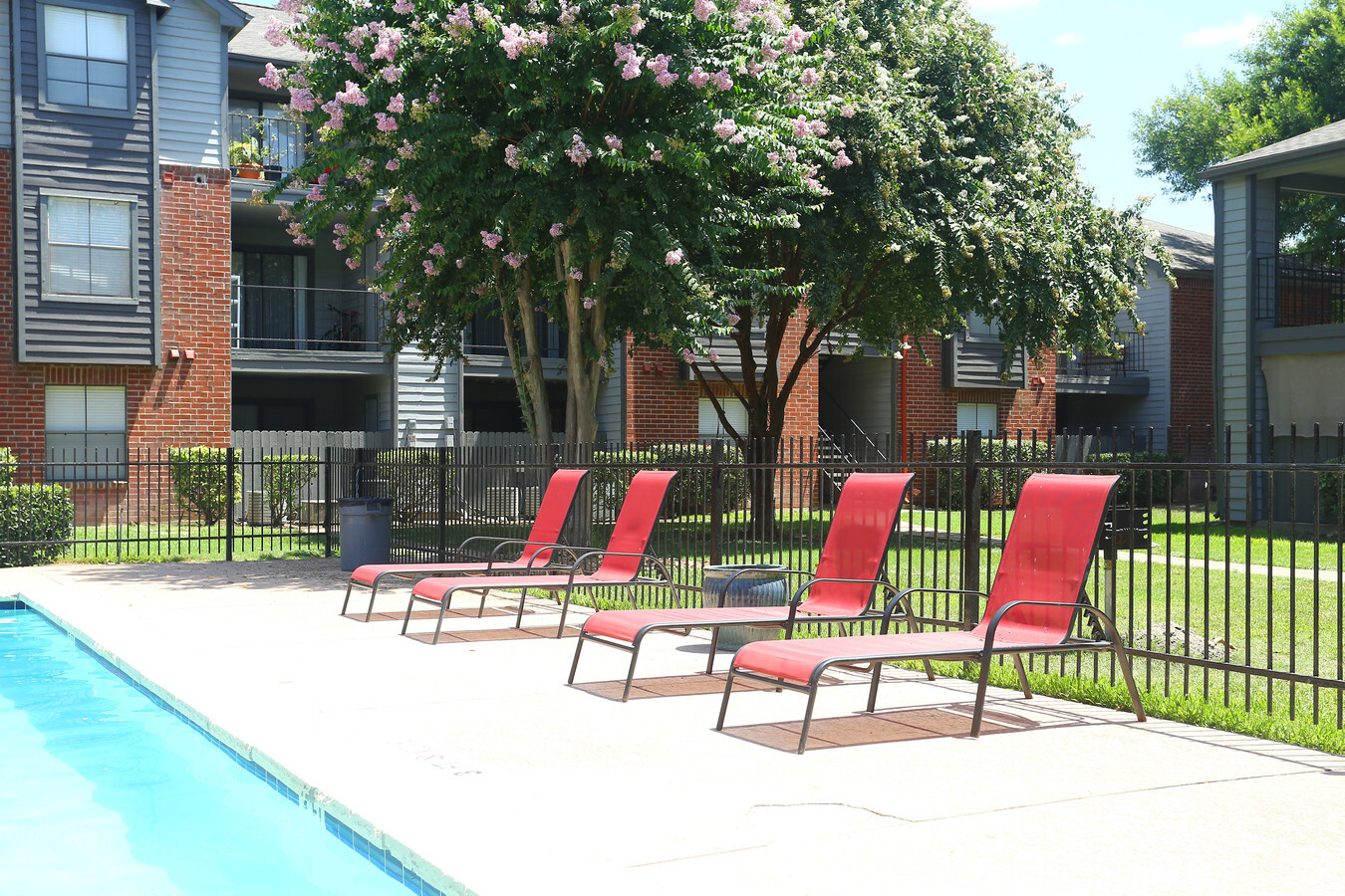
1400 Clarewood Dr
R24272
Clarewood Addn
Multifamilydwelling
CLAREWOOD ADDN LOT 3 5.603 AC 244,067 SQ FT CLAREWOOD APTS AND BUSINESS PERSONAL PROPERTY TAX CODES:SSM,WEU,WUS,TSM1,THC1
AH
Hays
48055C0070F
Texas
2023
5.60 AC
2024
San Marcos
010302
Austin
1,457 SF
Austin-Round Rock, TX
DEMOGRAPHICS near 1400 Clarewood Dr
1 Mile
3 Mile
5 Mile
2024 Total Population
11,089
57,893
88,505
2029 Population
14,356
74,542
113,782
Pop Growth 2024-2029
+ 29.46%
+ 28.76%
+ 28.56%
Average Age
31
30
32
2024 Total Households
4,875
23,315
34,479
HH Growth 2024-2029
+ 30.28%
+ 31.10%
+ 30.73%
Median Household Inc
$25,824
$29,875
$36,080
Avg Household Size
2.20
2.20
2.30
2024 Avg HH Vehicles
2.00
2.00
2.00
Median Home Value
$125,555
$208,333
$243,135
Median Year Built
1988
1994
1998
Nearby Places
- Restaurants
- Banks
- Shops
- Fitness
- Groceries
PUBLIC TRANSPORTATION
COMMUTER RAIL
San Marcos Amtrak (Texas Eagle - Amtrak)
Drive
Walk
Distance
San Marcos Amtrak (Texas Eagle - Amtrak)
4 min
2.1 mi
AIRPORT
Austin-Bergstrom International
Drive
Walk
Distance
Austin-Bergstrom International
45 min
34.9 mi
Freight Ports
Calhoun Port
Drive
Walk
Distance
Calhoun Port
161 min
134.0 mi
Nearby Properties
Address
Land Use
TOTAL SIZE
Lot Size
Zoning
Address
Land Use
TOTAL SIZE
Lot Size
Zoning
377937
1.46 AC
Address
Land Use
TOTAL SIZE
Lot Size
Zoning
7131
23.69 AC
Address
Land Use
TOTAL SIZE
Lot Size
Zoning
8955
39.30 AC
Address
Land Use
TOTAL SIZE
Lot Size
Zoning
63280
76.50 AC
Address
Land Use
TOTAL SIZE
Lot Size
Zoning
119914
2.69 AC
Address
Land Use
TOTAL SIZE
Lot Size
Zoning
196500
24.78 AC
Address
Land Use
TOTAL SIZE
Lot Size
Zoning
46168
20.65 AC
Address
Land Use
TOTAL SIZE
Lot Size
Zoning
146520
15.19 AC
Address
Land Use
TOTAL SIZE
Lot Size
Zoning
24554
22.46 AC
Address
Land Use
TOTAL SIZE
Lot Size
Zoning
31720
16.38 AC
Address
Land Use
TOTAL SIZE
Lot Size
Zoning
1464
3.67 AC
Address
Land Use
TOTAL SIZE
Lot Size
Zoning
5834
10.54 AC
Address
Land Use
TOTAL SIZE
Lot Size
Zoning
42124
5.11 AC
Address
Land Use
TOTAL SIZE
Lot Size
Zoning
6605
14.23 AC
Address
Land Use
TOTAL SIZE
Lot Size
Zoning
3128
23.60 AC
Address
Land Use
TOTAL SIZE
Lot Size
Zoning
5000
18.33 AC
Address
Land Use
TOTAL SIZE
Lot Size
Zoning
113904
19.46 AC
Address
Land Use
TOTAL SIZE
Lot Size
Zoning
753
14.70 AC
Address
Land Use
TOTAL SIZE
Lot Size
Zoning
22248
10.77 AC
Address
Land Use
TOTAL SIZE
Lot Size
Zoning
2580
17.44 AC
Address
Land Use
TOTAL SIZE
Lot Size
Zoning
2278
2.35 AC
Address
Land Use
TOTAL SIZE
Lot Size
Zoning
402983
21.30 AC
Address
Land Use
TOTAL SIZE
Lot Size
Zoning
4831
10.36 AC
Address
Land Use
TOTAL SIZE
Lot Size
Zoning
150840
18.45 AC
Address
Land Use
TOTAL SIZE
Lot Size
Zoning
179764
3.27 AC
Address
Land Use
TOTAL SIZE
Lot Size
Zoning
9685
28.15 AC
Address
Land Use
TOTAL SIZE
Lot Size
Zoning
6347
0.87 AC
Address
Land Use
TOTAL SIZE
Lot Size
Zoning
24.14 AC
Address
Land Use
TOTAL SIZE
Lot Size
Zoning
4351
10.05 AC
Address
Land Use
TOTAL SIZE
Lot Size
Zoning
9727
11.25 AC
Start a new search to find other properties for sale or lease
Connect with us
© 2024 CoStar Group
The information above has been obtained from sources believed reliable. While we do not doubt its accuracy we have not verified it and make no guarantee, warranty or representation about it. It is your responsibility to independently confirm its accuracy and completeness. Any projections, opinions, assumptions, or estimates used are for example only and do not represent the current or future performance of the property. The value of this transaction to you depends on tax and other factors which should be evaluated by your tax, financial, and legal advisors. You and your advisors should conduct a careful, independent investigation of the property to determine to your satisfaction the suitability of the property for your needs.