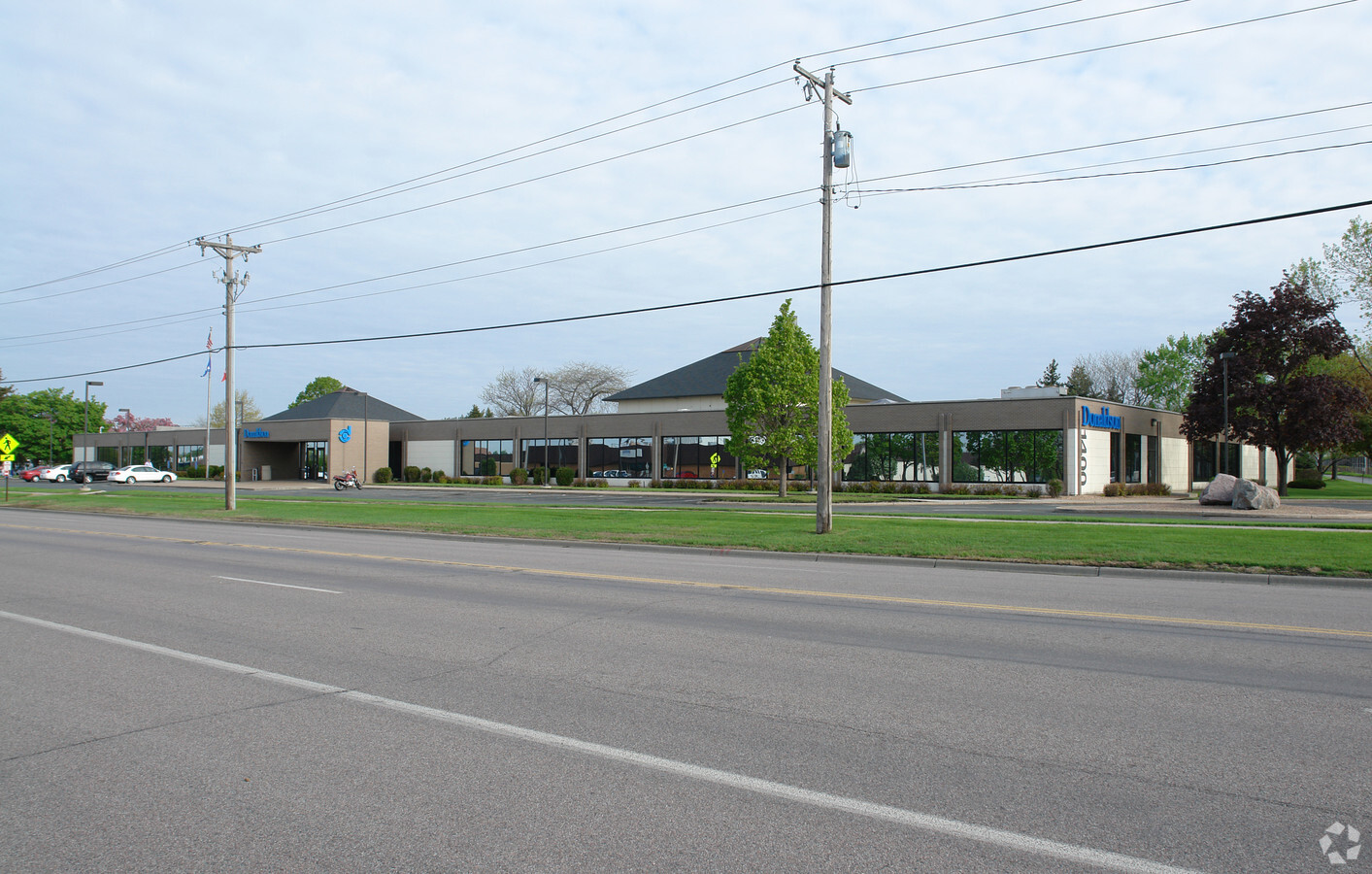
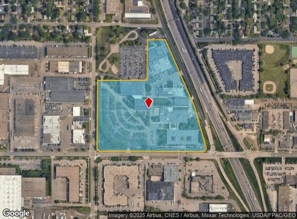
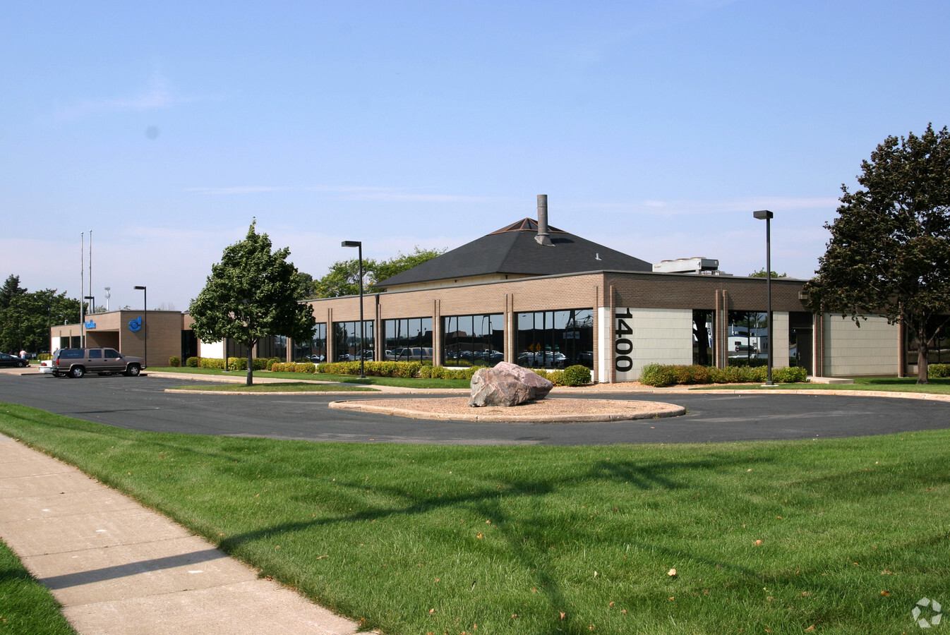
Property Record
1400 W 94Th St, Minneapolis, MN 55431
NEARBY LISTINGS FOR SALE OR LEASE
Property Detail
1400 W 94Th St
Minneapolis-St. Paul-Bloomington, MN-WI
Donaldson 1St Addn
09-027-24-34-0011
LOT 001 BLOCK 001 B DONALDSON 1ST ADDN IRREGULAR
Commercialnec
Hennepin
X
Minnesota
27053C0458F
1
2024
24.43 AC
2023
I-494 Corridor
0256012013
Minneapolis/St Paul
257,922 SF
DEMOGRAPHICS near 1400 W 94Th St
1 Mile
3 Mile
5 Mile
2024 Total Population
8,640
84,540
214,334
2029 Population
8,519
83,038
212,776
Pop Growth 2024-2029
(1.40%)
(1.78%)
(0.73%)
Average Age
42
42
41
2024 Total Households
3,696
36,355
91,099
HH Growth 2024-2029
(1.33%)
(1.89%)
(0.73%)
Median Household Inc
$66,141
$74,203
$82,995
Avg Household Size
2.20
2.20
2.30
2024 Avg HH Vehicles
2.00
2.00
2.00
Median Home Value
$278,677
$290,867
$320,005
Median Year Built
1965
1966
1970
Nearby Places
- Restaurants
- Banks
- Shops
- Fitness
- Groceries
PUBLIC TRANSPORTATION
AIRPORT
Minneapolis-St Paul International/Wold-Chamberlain
DRIVE
WALK
Distance
Minneapolis-St Paul International/Wold-Chamberlain
13 min
7.4 mi
Freight Ports
Port Milwaukee
DRIVE
WALK
Distance
Port Milwaukee
382 min
344.6 mi
Nearby Properties
Address
Land Use
TOTAL SIZE
Lot Size
Zoning
Address
Land Use
TOTAL SIZE
Lot Size
Zoning
35.28 AC
Address
Land Use
TOTAL SIZE
Lot Size
Zoning
21.50 AC
Address
Land Use
TOTAL SIZE
Lot Size
Zoning
8.55 AC
Address
Land Use
TOTAL SIZE
Lot Size
Zoning
129,658 SF
13.52 AC
Address
Land Use
TOTAL SIZE
Lot Size
Zoning
25,780 SF
5.24 AC
Address
Land Use
TOTAL SIZE
Lot Size
Zoning
31,646 SF
5.85 AC
Address
Land Use
TOTAL SIZE
Lot Size
Zoning
8.80 AC
Address
Land Use
TOTAL SIZE
Lot Size
Zoning
435,796 SF
36.44 AC
Address
Land Use
TOTAL SIZE
Lot Size
Zoning
60,320 SF
11.50 AC
Address
Land Use
TOTAL SIZE
Lot Size
Zoning
98,676 SF
8.77 AC
Address
Land Use
TOTAL SIZE
Lot Size
Zoning
22,119 SF
4.02 AC
Address
Land Use
TOTAL SIZE
Lot Size
Zoning
105,658 SF
18.80 AC
Address
Land Use
TOTAL SIZE
Lot Size
Zoning
122,021 SF
21.74 AC
Address
Land Use
TOTAL SIZE
Lot Size
Zoning
Address
Land Use
TOTAL SIZE
Lot Size
Zoning
114,617 SF
17.68 AC
Address
Land Use
TOTAL SIZE
Lot Size
Zoning
5.83 AC
Address
Land Use
TOTAL SIZE
Lot Size
Zoning
142,229 SF
26.61 AC
Address
Land Use
TOTAL SIZE
Lot Size
Zoning
24,209 SF
5.90 AC
Address
Land Use
TOTAL SIZE
Lot Size
Zoning
137,728 SF
11.31 AC
Address
Land Use
TOTAL SIZE
Lot Size
Zoning
22,393 SF
4.12 AC
Address
Land Use
TOTAL SIZE
Lot Size
Zoning
32,748 SF
2.24 AC
Address
Land Use
TOTAL SIZE
Lot Size
Zoning
18,088 SF
5.44 AC
MDD6
Address
Land Use
TOTAL SIZE
Lot Size
Zoning
52,316 SF
3.56 AC
MDD6
Address
Land Use
TOTAL SIZE
Lot Size
Zoning
12.88 AC
Address
Land Use
TOTAL SIZE
Lot Size
Zoning
6.87 AC
Address
Land Use
TOTAL SIZE
Lot Size
Zoning
42,338 SF
5.15 AC
Address
Land Use
TOTAL SIZE
Lot Size
Zoning
52,316 SF
4.81 AC
MDD6
Address
Land Use
TOTAL SIZE
Lot Size
Zoning
19,441 SF
1.37 AC
Address
Land Use
TOTAL SIZE
Lot Size
Zoning
66,845 SF
6.44 AC
MDD6
Address
Land Use
TOTAL SIZE
Lot Size
Zoning
69,556 SF
6.50 AC
MDD6
The World's #1 Commercial Real Estate Marketplace
Connect with us
© 2025 CoStar Group
The information above has been obtained from sources believed reliable. While we do not doubt its accuracy we have not verified it and make no guarantee, warranty or representation about it. It is your responsibility to independently confirm its accuracy and completeness. Any projections, opinions, assumptions, or estimates used are for example only and do not represent the current or future performance of the property. The value of this transaction to you depends on tax and other factors which should be evaluated by your tax, financial, and legal advisors. You and your advisors should conduct a careful, independent investigation of the property to determine to your satisfaction the suitability of the property for your needs.