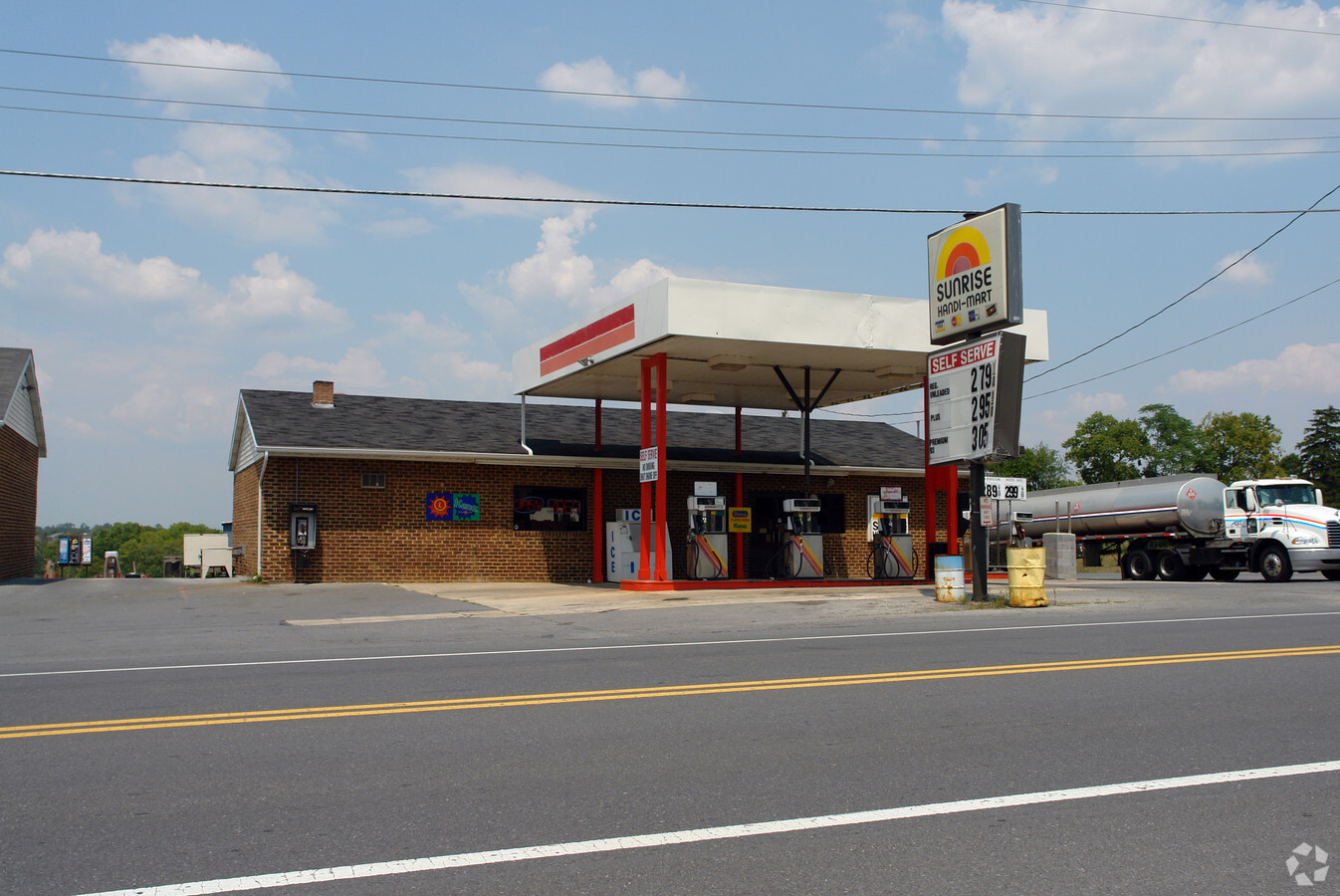
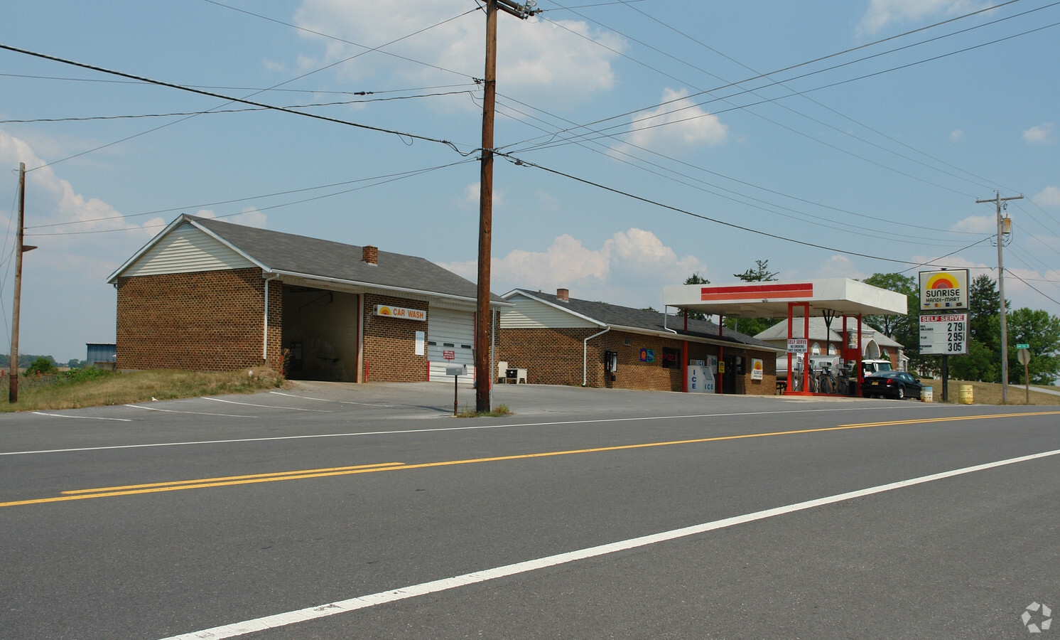
Property Record
14036 National Pike, Clear Spring, MD 21722
NEARBY LISTINGS FOR SALE OR LEASE
Property Detail
14036 National Pike
04-002962
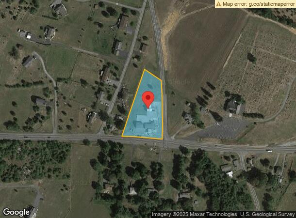
1.62 ACRES 14036 NATIONAL PIKE US RT 40
Storebuilding
Washington
X
Maryland
24043C0095D
1.62 AC
2024
Washington County
2024
Washington, DC
010600
Hagerstown-Martinsburg, MD-WV
1,830 SF
DEMOGRAPHICS near 14036 National Pike
1 Mile
3 Mile
5 Mile
2024 Total Population
497
3,838
12,864
2029 Population
498
3,841
13,371
Pop Growth 2024-2029
+ 0.20%
+ 0.08%
+ 3.94%
Average Age
42
42
43
2024 Total Households
182
1,419
4,879
HH Growth 2024-2029
0.00%
+ 0.07%
+ 4.26%
Median Household Inc
$80,978
$71,283
$70,260
Avg Household Size
2.70
2.60
2.60
2024 Avg HH Vehicles
3.00
3.00
2.00
Median Home Value
$247,413
$229,753
$240,170
Median Year Built
1977
1978
1984
Nearby Places
- Restaurants
- Banks
- Shops
- Fitness
- Groceries
PUBLIC TRANSPORTATION
AIRPORT
Hagerstown Regional/Richard A Henson Field
DRIVE
WALK
Distance
Hagerstown Regional/Richard A Henson Field
18 min
11.9 mi
Freight Ports
Port of Baltimore
DRIVE
WALK
Distance
Port of Baltimore
101 min
84.7 mi
SALE & LEASE HISTORY
LISTING DATE
SALE/LEASE

Oct 03, 2018
For Sale
May 10, 2022
For Sale
Nearby Properties
Address
Land Use
TOTAL SIZE
Lot Size
Zoning
Address
Land Use
TOTAL SIZE
Lot Size
Zoning
3,102 SF
183.57 AC
U
Address
Land Use
TOTAL SIZE
Lot Size
Zoning
43,393 SF
9.01 AC
RR
Address
Land Use
TOTAL SIZE
Lot Size
Zoning
1,100.86 AC
P
Address
Land Use
TOTAL SIZE
Lot Size
Zoning
1,800 SF
448.54 AC
U
Address
Land Use
TOTAL SIZE
Lot Size
Zoning
3,648 SF
84.19 AC
A(R)
Address
Land Use
TOTAL SIZE
Lot Size
Zoning
41,174 SF
2.32 AC
HI
Address
Land Use
TOTAL SIZE
Lot Size
Zoning
752 SF
64.20 AC
A(R)
Address
Land Use
TOTAL SIZE
Lot Size
Zoning
720 SF
11.82 AC
RV
Address
Land Use
TOTAL SIZE
Lot Size
Zoning
1,410 SF
51.42 AC
RB-E
Address
Land Use
TOTAL SIZE
Lot Size
Zoning
3,926 SF
266.42 AC
A(R)
Address
Land Use
TOTAL SIZE
Lot Size
Zoning
239.78 AC
U
Address
Land Use
TOTAL SIZE
Lot Size
Zoning
5,906 SF
3 AC
A(R)
Address
Land Use
TOTAL SIZE
Lot Size
Zoning
7,819 SF
0.68 AC
U
Address
Land Use
TOTAL SIZE
Lot Size
Zoning
205.72 AC
P
Address
Land Use
TOTAL SIZE
Lot Size
Zoning
9,216 SF
16.04 AC
A(R)
Address
Land Use
TOTAL SIZE
Lot Size
Zoning
9,100 SF
1.97 AC
HI-1
Address
Land Use
TOTAL SIZE
Lot Size
Zoning
8,056 SF
1.48 AC
RR
Address
Land Use
TOTAL SIZE
Lot Size
Zoning
4,059 SF
0.91 AC
HI
Address
Land Use
TOTAL SIZE
Lot Size
Zoning
179.04 AC
P
Address
Land Use
TOTAL SIZE
Lot Size
Zoning
165.24 AC
U
Address
Land Use
TOTAL SIZE
Lot Size
Zoning
4,783 SF
1.88 AC
RR
Address
Land Use
TOTAL SIZE
Lot Size
Zoning
1,470 SF
11.17 AC
HI
Address
Land Use
TOTAL SIZE
Lot Size
Zoning
333 AC
P
Address
Land Use
TOTAL SIZE
Lot Size
Zoning
2,458 SF
2 AC
RB-E
Address
Land Use
TOTAL SIZE
Lot Size
Zoning
11,684 SF
0.60 AC
U
Address
Land Use
TOTAL SIZE
Lot Size
Zoning
1,827 SF
1.91 AC
HI
Address
Land Use
TOTAL SIZE
Lot Size
Zoning
290.77 AC
P
Address
Land Use
TOTAL SIZE
Lot Size
Zoning
9,859 SF
2.72 AC
RV
Address
Land Use
TOTAL SIZE
Lot Size
Zoning
960 SF
11.08 AC
HI
Address
Land Use
TOTAL SIZE
Lot Size
Zoning
7,234 SF
0.25 AC
U
The World's #1 Commercial Real Estate Marketplace
Connect with us
© 2025 CoStar Group
The information above has been obtained from sources believed reliable. While we do not doubt its accuracy we have not verified it and make no guarantee, warranty or representation about it. It is your responsibility to independently confirm its accuracy and completeness. Any projections, opinions, assumptions, or estimates used are for example only and do not represent the current or future performance of the property. The value of this transaction to you depends on tax and other factors which should be evaluated by your tax, financial, and legal advisors. You and your advisors should conduct a careful, independent investigation of the property to determine to your satisfaction the suitability of the property for your needs.