Property Record
14111 Ne 145Th St, Woodinville, WA 98072

NEARBY LISTINGS FOR SALE OR LEASE
-
-
View all Woodinville listings for sale on LoopNet.com
Property Detail
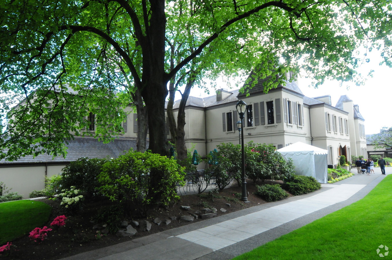
14111 Ne 145Th St
Seattle-Tacoma-Bellevue, WA
S Ln Of Sd Subd
222605-9092
N 875 FT OF N 1/2 OF SEC LY ELY OF B N BELT LN R/W & WLY OF B N SNOQUALMIE BRANCH R/W LESS CO RD
Lightindustrial
King
X
Washington
53033C0357H
222605
2025
42.56 AC
2024
Mill Creek/Woodinville
021904
Seattle/Puget Sound
230,532 SF
DEMOGRAPHICS near 14111 Ne 145Th St
1 Mile
3 Mile
5 Mile
2024 Total Population
5,468
81,635
231,580
2029 Population
5,455
82,087
234,435
Pop Growth 2024-2029
(0.24%)
+ 0.55%
+ 1.23%
Average Age
39
39
39
2024 Total Households
1,918
31,550
92,641
HH Growth 2024-2029
(0.47%)
+ 0.52%
+ 1.26%
Median Household Inc
$138,106
$134,377
$138,494
Avg Household Size
2.70
2.50
2.40
2024 Avg HH Vehicles
2.00
2.00
2.00
Median Home Value
$913,314
$865,484
$898,664
Median Year Built
1984
1986
1988
Nearby Places
- Restaurants
- Banks
- Shops
- Fitness
- Groceries
PUBLIC TRANSPORTATION
AIRPORT
Seattle Paine Field International
DRIVE
WALK
Distance
Seattle Paine Field International
28 min
16.9 mi
Seattle-Tacoma International
DRIVE
WALK
Distance
Seattle-Tacoma International
41 min
26.3 mi
Freight Ports
Port of Seattle
DRIVE
WALK
Distance
Port of Seattle
36 min
22.0 mi
Nearby Properties
Address
Land Use
TOTAL SIZE
Lot Size
Zoning
Address
Land Use
TOTAL SIZE
Lot Size
Zoning
570,472 SF
17.39 AC
TL 3A
Address
Land Use
TOTAL SIZE
Lot Size
Zoning
50,400 SF
123.66 AC
C
Address
Land Use
TOTAL SIZE
Lot Size
Zoning
407,216 SF
45.12 AC
PLA 9
Address
Land Use
TOTAL SIZE
Lot Size
Zoning
747,347 SF
8.91 AC
BP
Address
Land Use
TOTAL SIZE
Lot Size
Zoning
368,500 SF
38 AC
NR
Address
Land Use
TOTAL SIZE
Lot Size
Zoning
11,970 SF
4.80 AC
TL 6A
Address
Land Use
TOTAL SIZE
Lot Size
Zoning
295,920 SF
17.30 AC
R-18
Address
Land Use
TOTAL SIZE
Lot Size
Zoning
293,664 SF
38.51 AC
R 2800, OP
Address
Land Use
TOTAL SIZE
Lot Size
Zoning
190,512 SF
4.86 AC
CBD
Address
Land Use
TOTAL SIZE
Lot Size
Zoning
231,840 SF
22.82 AC
RMA 2.4
Address
Land Use
TOTAL SIZE
Lot Size
Zoning
226,192 SF
6.34 AC
CBD
Address
Land Use
TOTAL SIZE
Lot Size
Zoning
272,800 SF
19.26 AC
RM 2.4
Address
Land Use
TOTAL SIZE
Lot Size
Zoning
73,729 SF
42.57 AC
RSX 7.2
Address
Land Use
TOTAL SIZE
Lot Size
Zoning
261,010 SF
24.27 AC
NR
Address
Land Use
TOTAL SIZE
Lot Size
Zoning
187,860 SF
12.68 AC
TL 11
Address
Land Use
TOTAL SIZE
Lot Size
Zoning
43,016 SF
10.33 AC
TL 2
Address
Land Use
TOTAL SIZE
Lot Size
Zoning
1.62 AC
NWDD
Address
Land Use
TOTAL SIZE
Lot Size
Zoning
187,590 SF
17.20 AC
R 2800, OP
Address
Land Use
TOTAL SIZE
Lot Size
Zoning
220,523 SF
11.63 AC
BP
Address
Land Use
TOTAL SIZE
Lot Size
Zoning
185,400 SF
8.05 AC
RM 1.8
Address
Land Use
TOTAL SIZE
Lot Size
Zoning
158,220 SF
13.28 AC
RMA 2.4
Address
Land Use
TOTAL SIZE
Lot Size
Zoning
214,827 SF
10.27 AC
PLA 14
Address
Land Use
TOTAL SIZE
Lot Size
Zoning
143,284 SF
5.73 AC
BP
Address
Land Use
TOTAL SIZE
Lot Size
Zoning
77,520 SF
4.14 AC
TL 3B
Address
Land Use
TOTAL SIZE
Lot Size
Zoning
13,600 SF
0.78 AC
TL 10D
Address
Land Use
TOTAL SIZE
Lot Size
Zoning
130,800 SF
2.28 AC
CBD
Address
Land Use
TOTAL SIZE
Lot Size
Zoning
164,358 SF
16.81 AC
RM 3.6
Address
Land Use
TOTAL SIZE
Lot Size
Zoning
182,875 SF
16.47 AC
R-AC, OP,
Address
Land Use
TOTAL SIZE
Lot Size
Zoning
126,522 SF
2.62 AC
CBD
The World's #1 Commercial Real Estate Marketplace
Connect with us
© 2025 CoStar Group
The information above has been obtained from sources believed reliable. While we do not doubt its accuracy we have not verified it and make no guarantee, warranty or representation about it. It is your responsibility to independently confirm its accuracy and completeness. Any projections, opinions, assumptions, or estimates used are for example only and do not represent the current or future performance of the property. The value of this transaction to you depends on tax and other factors which should be evaluated by your tax, financial, and legal advisors. You and your advisors should conduct a careful, independent investigation of the property to determine to your satisfaction the suitability of the property for your needs.