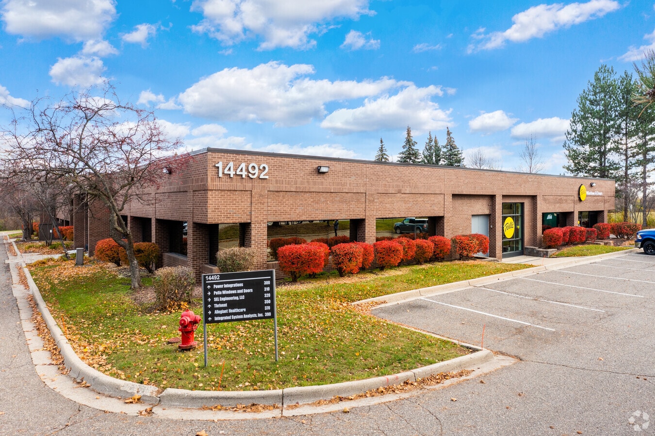
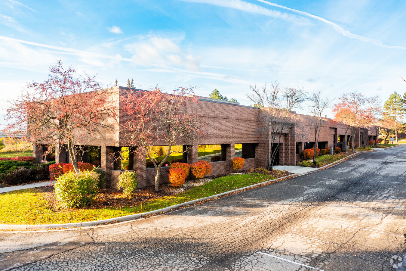
Property Record
14492 N Sheldon Rd, Plymouth, MI 48170
NEARBY LISTINGS FOR SALE OR LEASE
Property Detail
14492 N Sheldon Rd
Detroit
Acres Subject
Detroit-Warren-Dearborn, MI
Wayne
78-016-99-0001-704
Michigan
Miscellaneous
7.56 AC
76,550 SF
Southern I-275 Corridor
DEMOGRAPHICS near 14492 N Sheldon Rd
1 Mile
3 Mile
5 Mile
2024 Total Population
4,986
55,348
157,149
2029 Population
4,798
53,009
151,183
Pop Growth 2024-2029
(3.77%)
(4.23%)
(3.80%)
Average Age
44
44
43
2024 Total Households
2,339
23,453
63,524
HH Growth 2024-2029
(3.59%)
(4.11%)
(3.77%)
Median Household Inc
$108,552
$112,300
$109,097
Avg Household Size
2.10
2.30
2.40
2024 Avg HH Vehicles
2.00
2.00
2.00
Median Home Value
$413,879
$372,690
$335,837
Median Year Built
1965
1976
1978
Nearby Places
- Restaurants
- Banks
- Shops
- Fitness
- Groceries
PUBLIC TRANSPORTATION
AIRPORT
Detroit Metro Wayne County
DRIVE
WALK
Distance
Detroit Metro Wayne County
28 min
21.1 mi
Windsor International
DRIVE
WALK
Distance
Windsor International
53 min
35.7 mi
Freight Ports
Port of Toledo
DRIVE
WALK
Distance
Port of Toledo
77 min
62.8 mi
SALE & LEASE HISTORY
LISTING DATE
SALE/LEASE

Oct 25, 2016
For Lease
Feb 06, 2019
For Lease
Nearby Properties
Address
Land Use
TOTAL SIZE
Lot Size
Zoning
Address
Land Use
TOTAL SIZE
Lot Size
Zoning
Address
Land Use
TOTAL SIZE
Lot Size
Zoning
234,403 SF
74.21 AC
OS
Address
Land Use
TOTAL SIZE
Lot Size
Zoning
10.85 AC
Address
Land Use
TOTAL SIZE
Lot Size
Zoning
250,699 SF
16.89 AC
SH
Address
Land Use
TOTAL SIZE
Lot Size
Zoning
116.72 AC
Address
Land Use
TOTAL SIZE
Lot Size
Zoning
192,478 SF
IND
Address
Land Use
TOTAL SIZE
Lot Size
Zoning
97,094 SF
55.65 AC
TAR
Address
Land Use
TOTAL SIZE
Lot Size
Zoning
114,894 SF
4.94 AC
Address
Land Use
TOTAL SIZE
Lot Size
Zoning
117.35 AC
Address
Land Use
TOTAL SIZE
Lot Size
Zoning
340,891 SF
26.36 AC
TAR
Address
Land Use
TOTAL SIZE
Lot Size
Zoning
361,807 SF
18.77 AC
Address
Land Use
TOTAL SIZE
Lot Size
Zoning
Address
Land Use
TOTAL SIZE
Lot Size
Zoning
514,630 SF
22.30 AC
Address
Land Use
TOTAL SIZE
Lot Size
Zoning
27.60 AC
Address
Land Use
TOTAL SIZE
Lot Size
Zoning
9,706 SF
40.41 AC
RM-1
Address
Land Use
TOTAL SIZE
Lot Size
Zoning
123,225 SF
9 AC
CJ/ARC
Address
Land Use
TOTAL SIZE
Lot Size
Zoning
99,826 SF
R-1
Address
Land Use
TOTAL SIZE
Lot Size
Zoning
221,508 SF
26.03 AC
IND
Address
Land Use
TOTAL SIZE
Lot Size
Zoning
186.50 AC
IND
Address
Land Use
TOTAL SIZE
Lot Size
Zoning
113,292 SF
15.79 AC
IND
Address
Land Use
TOTAL SIZE
Lot Size
Zoning
78,164 SF
5.51 AC
PUD
Address
Land Use
TOTAL SIZE
Lot Size
Zoning
46.60 AC
R-3
Address
Land Use
TOTAL SIZE
Lot Size
Zoning
18,360 SF
8.15 AC
PUD
Address
Land Use
TOTAL SIZE
Lot Size
Zoning
135,586 SF
8.08 AC
IND
Address
Land Use
TOTAL SIZE
Lot Size
Zoning
112,886 SF
6.32 AC
SH
Address
Land Use
TOTAL SIZE
Lot Size
Zoning
19.68 AC
RM-1
Address
Land Use
TOTAL SIZE
Lot Size
Zoning
11.96 AC
Address
Land Use
TOTAL SIZE
Lot Size
Zoning
191,579 SF
26.11 AC
ORT
Address
Land Use
TOTAL SIZE
Lot Size
Zoning
101,971 SF
17.52 AC
C-2
Address
Land Use
TOTAL SIZE
Lot Size
Zoning
172,368 SF
11.84 AC
The World's #1 Commercial Real Estate Marketplace
Connect with us
© 2025 CoStar Group
The information above has been obtained from sources believed reliable. While we do not doubt its accuracy we have not verified it and make no guarantee, warranty or representation about it. It is your responsibility to independently confirm its accuracy and completeness. Any projections, opinions, assumptions, or estimates used are for example only and do not represent the current or future performance of the property. The value of this transaction to you depends on tax and other factors which should be evaluated by your tax, financial, and legal advisors. You and your advisors should conduct a careful, independent investigation of the property to determine to your satisfaction the suitability of the property for your needs.