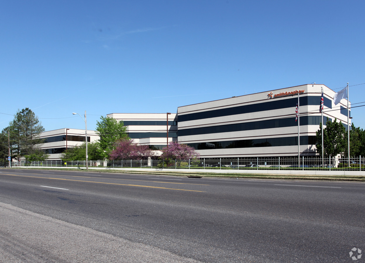
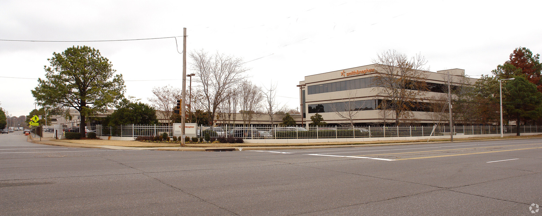
Property Record
1450 E Brooks Rd, Memphis, TN 38116
NEARBY LISTINGS FOR SALE OR LEASE
Property Detail
1450 E Brooks Rd
06-0222-0-0225
Hill & Fontaines Brooks Ave
Foodprocessing
Shelby
AE
Tennessee
05035C0475E
34
2023
18.54 AC
2024
Airport
022131
Memphis
367,132 SF
Memphis, TN-MS-AR
DEMOGRAPHICS near 1450 E Brooks Rd
1 Mile
3 Mile
5 Mile
2024 Total Population
7,351
52,307
174,200
2029 Population
7,679
52,499
175,204
Pop Growth 2024-2029
+ 4.46%
+ 0.37%
+ 0.58%
Average Age
36
38
39
2024 Total Households
2,992
20,676
69,532
HH Growth 2024-2029
+ 4.91%
+ 0.31%
+ 0.48%
Median Household Inc
$33,286
$34,346
$36,239
Avg Household Size
2.40
2.40
2.40
2024 Avg HH Vehicles
1.00
1.00
1.00
Median Home Value
$105,271
$75,427
$81,811
Median Year Built
1967
1959
1959
Nearby Places
- Restaurants
- Banks
- Shops
- Fitness
- Groceries
PUBLIC TRANSPORTATION
COMMUTER RAIL
Central Station (Riverfront Loop - Memphis Area Transit Authority Trolley (MataTrolley))
DRIVE
WALK
Distance
Central Station (Riverfront Loop - Memphis Area Transit Authority Trolley (MataTrolley))
11 min
7.1 mi
AIRPORT
Memphis International
DRIVE
WALK
Distance
Memphis International
6 min
3.2 mi
Freight Ports
Port of Shreveport
DRIVE
WALK
Distance
Port of Shreveport
406 min
374.8 mi
Nearby Properties
Address
Land Use
TOTAL SIZE
Lot Size
Zoning
Address
Land Use
TOTAL SIZE
Lot Size
Zoning
732,894 SF
79.73 AC
WD
Address
Land Use
TOTAL SIZE
Lot Size
Zoning
279,419 SF
172.07 AC
EMP
Address
Land Use
TOTAL SIZE
Lot Size
Zoning
146,316 SF
18.07 AC
CMU-3
Address
Land Use
TOTAL SIZE
Lot Size
Zoning
386,565 SF
29.49 AC
IH
Address
Land Use
TOTAL SIZE
Lot Size
Zoning
180,831 SF
13.11 AC
EMP
Address
Land Use
TOTAL SIZE
Lot Size
Zoning
357,582 SF
5.61 AC
EMP
Address
Land Use
TOTAL SIZE
Lot Size
Zoning
2,847.82 AC
EMP
Address
Land Use
TOTAL SIZE
Lot Size
Zoning
47.65 AC
R-8
Address
Land Use
TOTAL SIZE
Lot Size
Zoning
105,841 SF
7.45 AC
IH
Address
Land Use
TOTAL SIZE
Lot Size
Zoning
214,950 SF
17.05 AC
CMU-2
Address
Land Use
TOTAL SIZE
Lot Size
Zoning
38,600 SF
30.35 AC
RU-3
Address
Land Use
TOTAL SIZE
Lot Size
Zoning
253,883 SF
37.28 AC
IH
Address
Land Use
TOTAL SIZE
Lot Size
Zoning
1,760,826 SF
109.47 AC
EMP
Address
Land Use
TOTAL SIZE
Lot Size
Zoning
14,075 SF
9.36 AC
RU-3
Address
Land Use
TOTAL SIZE
Lot Size
Zoning
95,307 SF
25.91 AC
RU-3
Address
Land Use
TOTAL SIZE
Lot Size
Zoning
1,117,337 SF
127.15 AC
EMP
Address
Land Use
TOTAL SIZE
Lot Size
Zoning
144,078 SF
17.93 AC
RU-3
Address
Land Use
TOTAL SIZE
Lot Size
Zoning
509,111 SF
EMP
Address
Land Use
TOTAL SIZE
Lot Size
Zoning
52,347 SF
11.55 AC
R-8
Address
Land Use
TOTAL SIZE
Lot Size
Zoning
165,227 SF
25.12 AC
RU-3
Address
Land Use
TOTAL SIZE
Lot Size
Zoning
81,790 SF
17.82 AC
CMU-2
Address
Land Use
TOTAL SIZE
Lot Size
Zoning
56,848 SF
1.61 AC
EMP
Address
Land Use
TOTAL SIZE
Lot Size
Zoning
188,404 SF
59.17 AC
R-8
Address
Land Use
TOTAL SIZE
Lot Size
Zoning
71,308 SF
EMP
Address
Land Use
TOTAL SIZE
Lot Size
Zoning
318,661 SF
26.92 AC
CMU-3
Address
Land Use
TOTAL SIZE
Lot Size
Zoning
42,102 SF
18.74 AC
RU-3
Address
Land Use
TOTAL SIZE
Lot Size
Zoning
545,525 SF
31.04 AC
EMP
Address
Land Use
TOTAL SIZE
Lot Size
Zoning
43,476 SF
4.62 AC
CMU-3
Address
Land Use
TOTAL SIZE
Lot Size
Zoning
80,264 SF
10.14 AC
RU-3
Address
Land Use
TOTAL SIZE
Lot Size
Zoning
536,821 SF
32.62 AC
EMP
The World's #1 Commercial Real Estate Marketplace
Connect with us
© 2025 CoStar Group
The information above has been obtained from sources believed reliable. While we do not doubt its accuracy we have not verified it and make no guarantee, warranty or representation about it. It is your responsibility to independently confirm its accuracy and completeness. Any projections, opinions, assumptions, or estimates used are for example only and do not represent the current or future performance of the property. The value of this transaction to you depends on tax and other factors which should be evaluated by your tax, financial, and legal advisors. You and your advisors should conduct a careful, independent investigation of the property to determine to your satisfaction the suitability of the property for your needs.