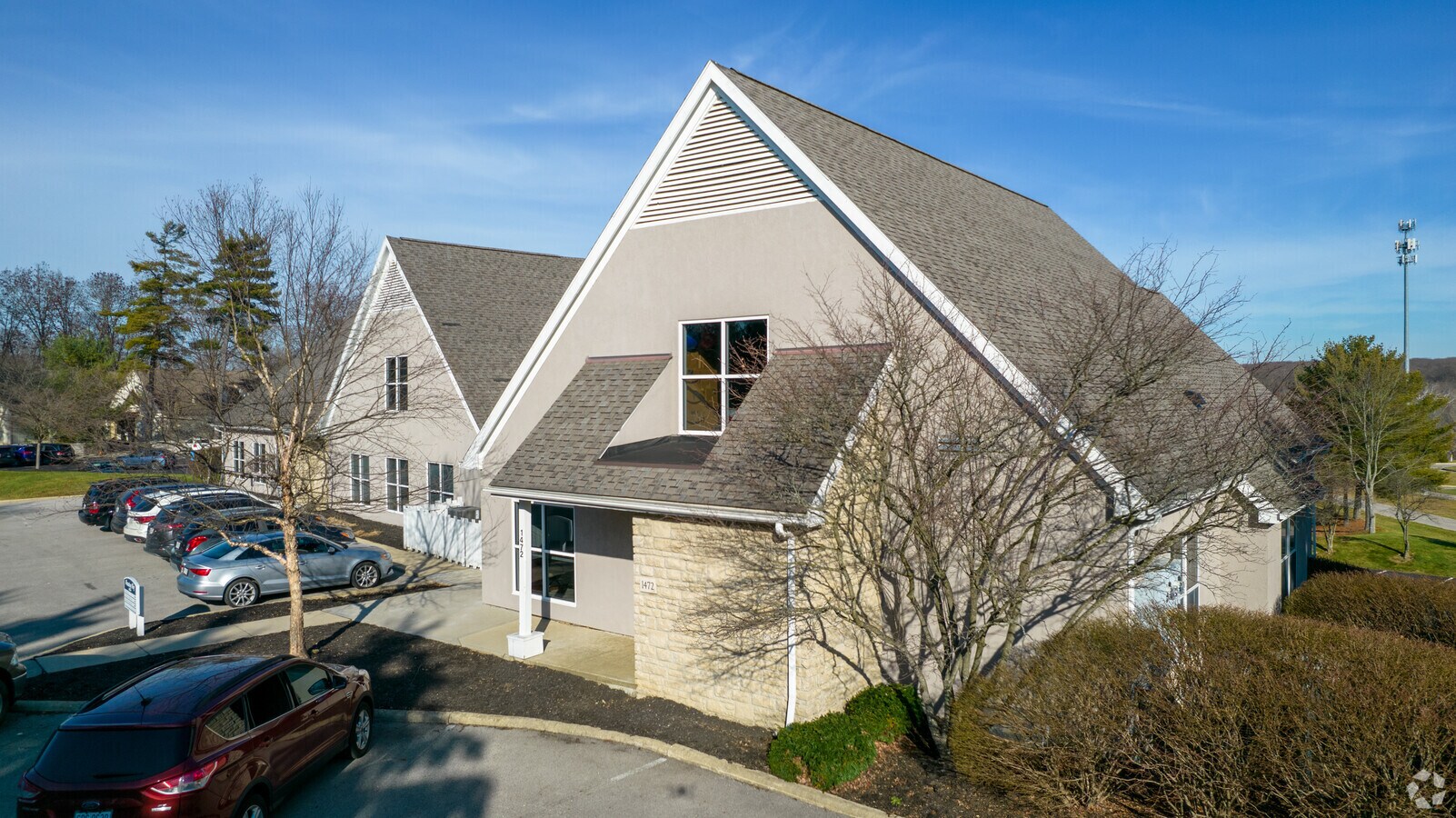
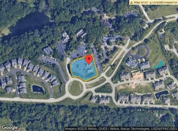
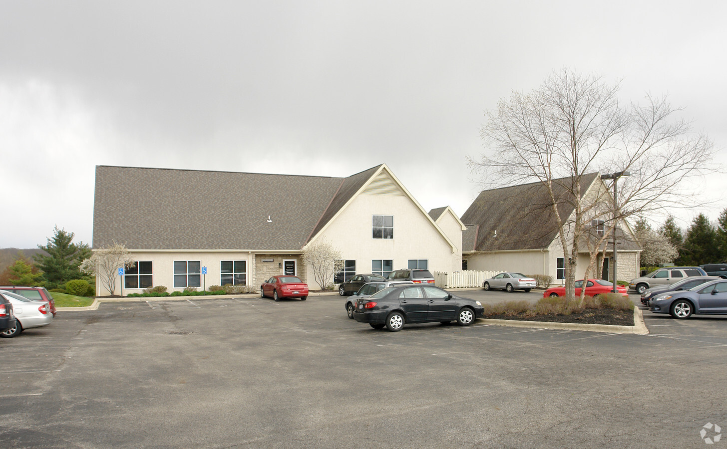
Property Record
1472 Manning Pkwy, Powell, OH 43065
This Property Is For Sale
NEARBY LISTINGS FOR SALE OR LEASE
Property Detail
1472 Manning Pkwy
Columbus, OH
Manning Way Condos
319-444-05-041-500
UNIT 1472 MANNING WAY CONDOS
Officecondo
Delaware
X
Ohio
39041C0243L
1472
2023
1.20 AC
2023
Outlying Delaware County
011421
Columbus
3,206 SF
DEMOGRAPHICS near 1472 Manning Pkwy
1 Mile
3 Mile
5 Mile
2024 Total Population
3,418
88,240
202,949
2029 Population
3,558
92,182
212,572
Pop Growth 2024-2029
+ 4.10%
+ 4.47%
+ 4.74%
Average Age
40
38
38
2024 Total Households
1,168
34,827
80,337
HH Growth 2024-2029
+ 4.28%
+ 4.49%
+ 4.41%
Median Household Inc
$195,782
$104,519
$100,289
Avg Household Size
2.90
2.50
2.50
2024 Avg HH Vehicles
2.00
2.00
2.00
Median Home Value
$467,198
$338,325
$351,870
Median Year Built
1979
1989
1989
Nearby Places
- Restaurants
- Banks
- Shops
- Fitness
- Groceries
PUBLIC TRANSPORTATION
AIRPORT
John Glenn Columbus International
DRIVE
WALK
Distance
John Glenn Columbus International
28 min
18.5 mi
Rickenbacker International
DRIVE
WALK
Distance
Rickenbacker International
41 min
28.8 mi
Freight Ports
Port of Toledo
DRIVE
WALK
Distance
Port of Toledo
167 min
131.6 mi
Nearby Properties
Address
Land Use
TOTAL SIZE
Lot Size
Zoning
Address
Land Use
TOTAL SIZE
Lot Size
Zoning
443,308 SF
9 AC
Address
Land Use
TOTAL SIZE
Lot Size
Zoning
2,140,832 SF
89.50 AC
Address
Land Use
TOTAL SIZE
Lot Size
Zoning
384,755 SF
116.40 AC
Address
Land Use
TOTAL SIZE
Lot Size
Zoning
53,962 SF
40.71 AC
Address
Land Use
TOTAL SIZE
Lot Size
Zoning
206,724 SF
7.60 AC
Address
Land Use
TOTAL SIZE
Lot Size
Zoning
171,631 SF
17.55 AC
Address
Land Use
TOTAL SIZE
Lot Size
Zoning
1,070,310 SF
2.65 AC
Address
Land Use
TOTAL SIZE
Lot Size
Zoning
48,009 SF
17.24 AC
Address
Land Use
TOTAL SIZE
Lot Size
Zoning
785,616 SF
53.89 AC
Address
Land Use
TOTAL SIZE
Lot Size
Zoning
109,480 SF
17.86 AC
Address
Land Use
TOTAL SIZE
Lot Size
Zoning
166,396 SF
11.68 AC
Address
Land Use
TOTAL SIZE
Lot Size
Zoning
249,917 SF
19.18 AC
Address
Land Use
TOTAL SIZE
Lot Size
Zoning
116,928 SF
22.86 AC
Address
Land Use
TOTAL SIZE
Lot Size
Zoning
266,792 SF
9.03 AC
Address
Land Use
TOTAL SIZE
Lot Size
Zoning
154,892 SF
5.86 AC
Address
Land Use
TOTAL SIZE
Lot Size
Zoning
413,781 SF
78.36 AC
Address
Land Use
TOTAL SIZE
Lot Size
Zoning
428,656 SF
6.42 AC
Address
Land Use
TOTAL SIZE
Lot Size
Zoning
70,648 SF
15.50 AC
Address
Land Use
TOTAL SIZE
Lot Size
Zoning
162,728 SF
4.80 AC
Address
Land Use
TOTAL SIZE
Lot Size
Zoning
187,562 SF
8.76 AC
Address
Land Use
TOTAL SIZE
Lot Size
Zoning
62,702 SF
38.69 AC
Address
Land Use
TOTAL SIZE
Lot Size
Zoning
219,449 SF
28.68 AC
Address
Land Use
TOTAL SIZE
Lot Size
Zoning
132,804 SF
11.54 AC
Address
Land Use
TOTAL SIZE
Lot Size
Zoning
546,096 SF
8.48 AC
Address
Land Use
TOTAL SIZE
Lot Size
Zoning
174,192 SF
11 AC
Address
Land Use
TOTAL SIZE
Lot Size
Zoning
183,424 SF
9.20 AC
Address
Land Use
TOTAL SIZE
Lot Size
Zoning
47,996 SF
14.27 AC
Address
Land Use
TOTAL SIZE
Lot Size
Zoning
368,077 SF
7.87 AC
Address
Land Use
TOTAL SIZE
Lot Size
Zoning
69.13 AC
Address
Land Use
TOTAL SIZE
Lot Size
Zoning
454,869 SF
27.46 AC
The World's #1 Commercial Real Estate Marketplace
Connect with us
© 2025 CoStar Group
The information above has been obtained from sources believed reliable. While we do not doubt its accuracy we have not verified it and make no guarantee, warranty or representation about it. It is your responsibility to independently confirm its accuracy and completeness. Any projections, opinions, assumptions, or estimates used are for example only and do not represent the current or future performance of the property. The value of this transaction to you depends on tax and other factors which should be evaluated by your tax, financial, and legal advisors. You and your advisors should conduct a careful, independent investigation of the property to determine to your satisfaction the suitability of the property for your needs.