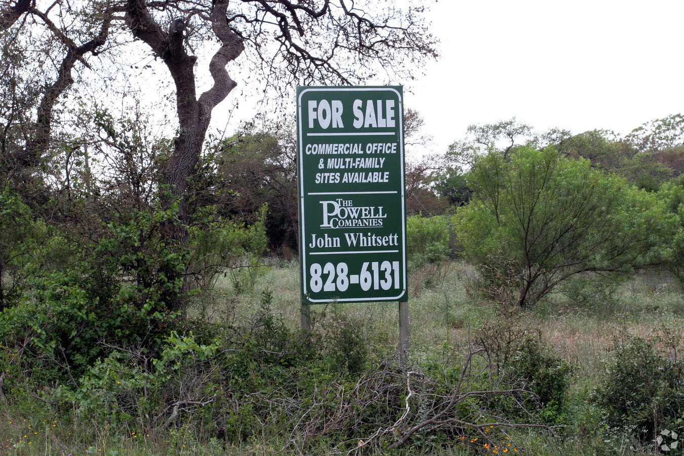
Property Record
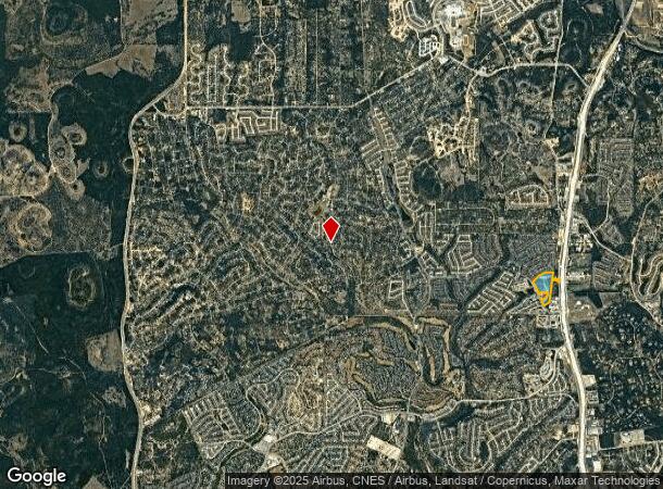
14650 N Us Highway 281 Ave, San Antonio, TX 78260
NEARBY LISTINGS FOR SALE OR LEASE
Property Detail
14650 N Us Highway 281 Ave
San Antonio-New Braunfels, TX
Conv A/S Code
04865-000-0387
CB 4865 P-38D (13.678 AC) & P-39B (7.306 AC) ABS 934 & CB 4865D BLK 2 LOT S IRR 115.85 FT OF 1 (0.4688 AC) & N IRR 86.06 FT OF 2 (0.124 AC) 2020- LEGAL UPDATE/RSVY PER JUDGMENT 20190128390 EXE 06-21-2019. AS\GIS\12-5-2019.\\2013-RMS PER PLAT 9649/205
Vacantlandnec
Bexar
X
Texas
48029C0140G
384
2023
21.58 AC
2023
Far North Central
191804
San Antonio
DEMOGRAPHICS near 14650 N Us Highway 281 Ave
1 Mile
3 Mile
5 Mile
2024 Total Population
8,377
64,525
128,772
2029 Population
8,956
69,379
138,898
Pop Growth 2024-2029
+ 6.91%
+ 7.52%
+ 7.86%
Average Age
36
36
37
2024 Total Households
2,800
21,697
44,164
HH Growth 2024-2029
+ 7.11%
+ 7.90%
+ 8.15%
Median Household Inc
$106,731
$110,808
$109,782
Avg Household Size
3.00
2.90
2.90
2024 Avg HH Vehicles
2.00
2.00
2.00
Median Home Value
$369,076
$380,228
$363,776
Median Year Built
2006
2008
2006
Nearby Places
- Restaurants
- Banks
- Shops
- Fitness
- Groceries
PUBLIC TRANSPORTATION
AIRPORT
San Antonio International
DRIVE
WALK
Distance
San Antonio International
23 min
14.7 mi
Freight Ports
Calhoun Port
DRIVE
WALK
Distance
Calhoun Port
201 min
163.5 mi
Nearby Properties
Address
Land Use
TOTAL SIZE
Lot Size
Zoning
Address
Land Use
TOTAL SIZE
Lot Size
Zoning
225,204 SF
32.21 AC
Address
Land Use
TOTAL SIZE
Lot Size
Zoning
116,135 SF
17.35 AC
Address
Land Use
TOTAL SIZE
Lot Size
Zoning
330,888 SF
19.58 AC
Address
Land Use
TOTAL SIZE
Lot Size
Zoning
283,877 SF
22.15 AC
Address
Land Use
TOTAL SIZE
Lot Size
Zoning
123,938 SF
27.21 AC
Address
Land Use
TOTAL SIZE
Lot Size
Zoning
296,413 SF
15 AC
Address
Land Use
TOTAL SIZE
Lot Size
Zoning
310,384 SF
14.25 AC
Address
Land Use
TOTAL SIZE
Lot Size
Zoning
203,966 SF
7.52 AC
Address
Land Use
TOTAL SIZE
Lot Size
Zoning
128,042 SF
5.35 AC
Address
Land Use
TOTAL SIZE
Lot Size
Zoning
85,133 SF
4.65 AC
Address
Land Use
TOTAL SIZE
Lot Size
Zoning
35,888 SF
6.06 AC
Address
Land Use
TOTAL SIZE
Lot Size
Zoning
85,910 SF
10.44 AC
Address
Land Use
TOTAL SIZE
Lot Size
Zoning
87,090 SF
2.77 AC
Address
Land Use
TOTAL SIZE
Lot Size
Zoning
99,291 SF
2.26 AC
Address
Land Use
TOTAL SIZE
Lot Size
Zoning
54,150 SF
3.47 AC
Address
Land Use
TOTAL SIZE
Lot Size
Zoning
28,128 SF
10.66 AC
Address
Land Use
TOTAL SIZE
Lot Size
Zoning
42,321 SF
13.85 AC
Address
Land Use
TOTAL SIZE
Lot Size
Zoning
25.20 AC
Address
Land Use
TOTAL SIZE
Lot Size
Zoning
34.92 AC
Address
Land Use
TOTAL SIZE
Lot Size
Zoning
19,952 SF
3.32 AC
Address
Land Use
TOTAL SIZE
Lot Size
Zoning
76,120 SF
3.90 AC
Address
Land Use
TOTAL SIZE
Lot Size
Zoning
22.75 AC
Address
Land Use
TOTAL SIZE
Lot Size
Zoning
11,487 SF
1.54 AC
Address
Land Use
TOTAL SIZE
Lot Size
Zoning
Address
Land Use
TOTAL SIZE
Lot Size
Zoning
20.13 AC
Address
Land Use
TOTAL SIZE
Lot Size
Zoning
74,320 SF
4.55 AC
Address
Land Use
TOTAL SIZE
Lot Size
Zoning
20.95 AC
Address
Land Use
TOTAL SIZE
Lot Size
Zoning
46,113 SF
2.69 AC
Address
Land Use
TOTAL SIZE
Lot Size
Zoning
17,000 SF
1.77 AC
Address
Land Use
TOTAL SIZE
Lot Size
Zoning
19.32 AC
The World's #1 Commercial Real Estate Marketplace
Connect with us
© 2025 CoStar Group
The information above has been obtained from sources believed reliable. While we do not doubt its accuracy we have not verified it and make no guarantee, warranty or representation about it. It is your responsibility to independently confirm its accuracy and completeness. Any projections, opinions, assumptions, or estimates used are for example only and do not represent the current or future performance of the property. The value of this transaction to you depends on tax and other factors which should be evaluated by your tax, financial, and legal advisors. You and your advisors should conduct a careful, independent investigation of the property to determine to your satisfaction the suitability of the property for your needs.