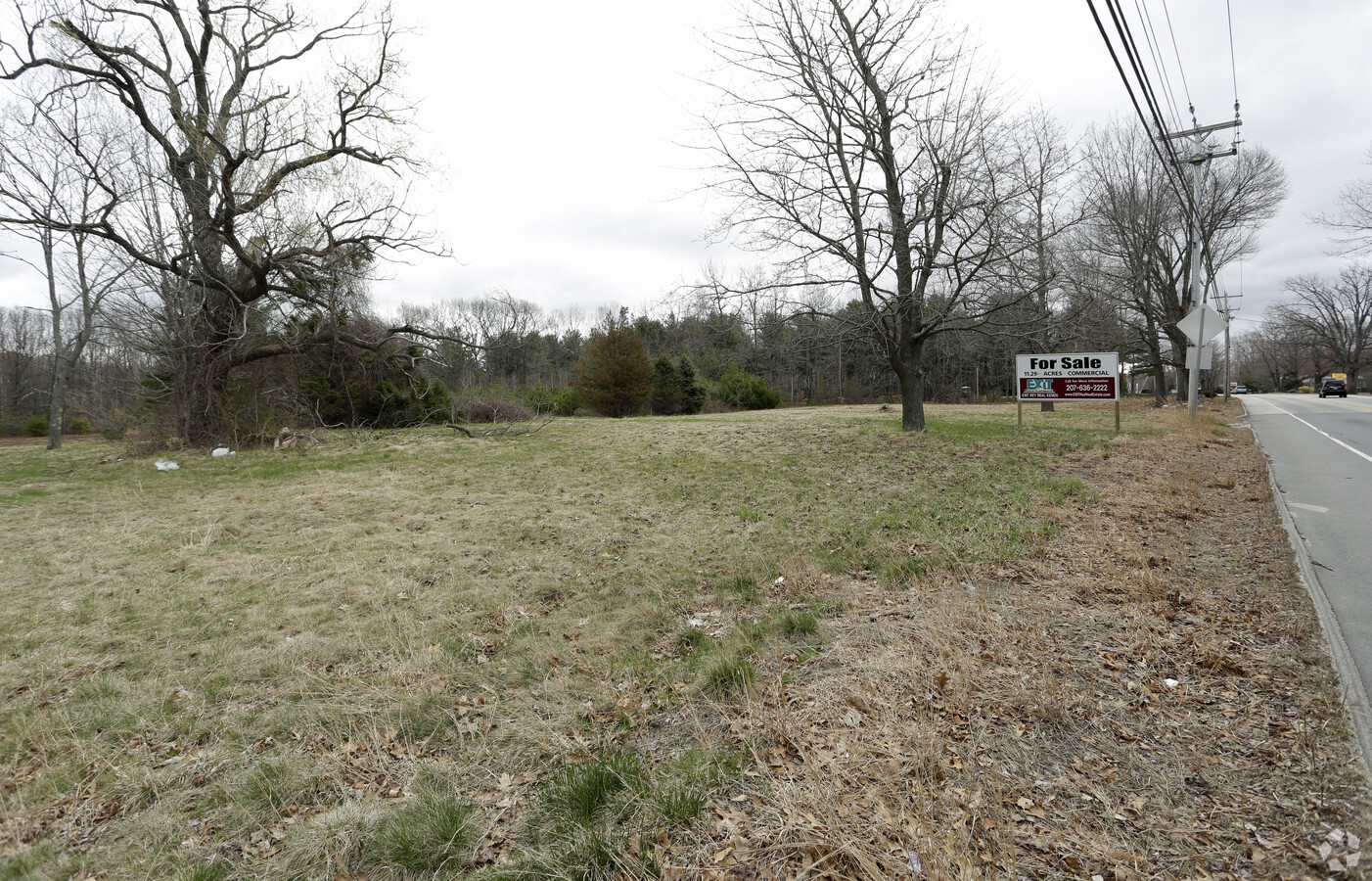
Property Record
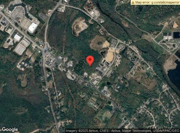
1474 Main St, Sanford, ME 04073
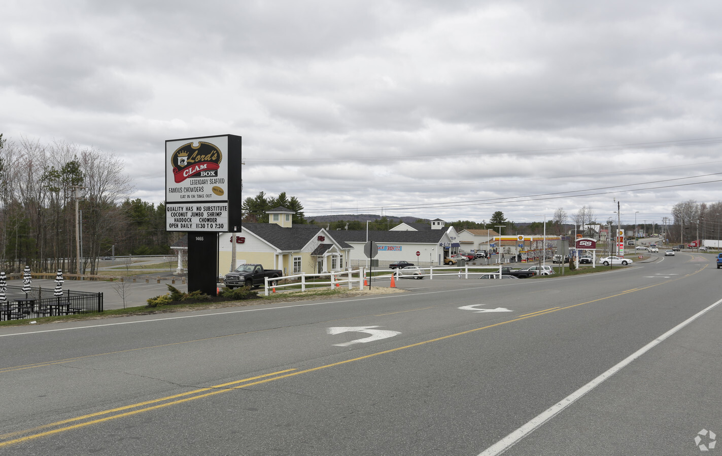
NEARBY LISTINGS FOR SALE OR LEASE
Property Detail
1474 Main St
SANF-000058-R000015
York
Taxexempt
Maine
2024
11.29 AC
2024
York County
030300
Portland/South Portland
6,516 SF
Portland-South Portland, ME
DEMOGRAPHICS near 1474 Main St
1 Mile
3 Mile
5 Mile
2024 Total Population
1,117
13,787
25,394
2029 Population
1,174
14,562
26,738
Pop Growth 2024-2029
+ 5.10%
+ 5.62%
+ 5.29%
Average Age
45
41
42
2024 Total Households
503
5,667
10,463
HH Growth 2024-2029
+ 4.97%
+ 5.54%
+ 5.22%
Median Household Inc
$59,444
$67,319
$66,685
Avg Household Size
2.20
2.30
2.30
2024 Avg HH Vehicles
2.00
2.00
2.00
Median Home Value
$242,372
$236,708
$250,589
Median Year Built
1984
1974
1975
Nearby Places
- Restaurants
- Banks
- Shops
- Fitness
- Groceries
PUBLIC TRANSPORTATION
COMMUTER RAIL
Wells (Downeaster - Amtrak)
DRIVE
WALK
Distance
Wells (Downeaster - Amtrak)
17 min
9.4 mi
AIRPORT
Portsmouth International at Pease
DRIVE
WALK
Distance
Portsmouth International at Pease
47 min
32.1 mi
Portland International Jetport
DRIVE
WALK
Distance
Portland International Jetport
44 min
32.6 mi
Freight Ports
Portland, ME
DRIVE
WALK
Distance
Portland, ME
45 min
35.2 mi
Nearby Properties
Address
Land Use
TOTAL SIZE
Lot Size
Zoning
Address
Land Use
TOTAL SIZE
Lot Size
Zoning
220,000 SF
137 AC
GR
Address
Land Use
TOTAL SIZE
Lot Size
Zoning
450 AC
RMU
Address
Land Use
TOTAL SIZE
Lot Size
Zoning
198,252 SF
21.38 AC
IB
Address
Land Use
TOTAL SIZE
Lot Size
Zoning
283,350 SF
17.14 AC
AD
Address
Land Use
TOTAL SIZE
Lot Size
Zoning
101 AC
IB
Address
Land Use
TOTAL SIZE
Lot Size
Zoning
30.33 AC
SB
Address
Land Use
TOTAL SIZE
Lot Size
Zoning
134,480 SF
15.35 AC
IB
Address
Land Use
TOTAL SIZE
Lot Size
Zoning
1,271.85 AC
DZ
Address
Land Use
TOTAL SIZE
Lot Size
Zoning
24,959 SF
19.77 AC
IB
Address
Land Use
TOTAL SIZE
Lot Size
Zoning
9 AC
GR
Address
Land Use
TOTAL SIZE
Lot Size
Zoning
55,418 SF
1.54 AC
DB
Address
Land Use
TOTAL SIZE
Lot Size
Zoning
83,505 SF
17 AC
RD
Address
Land Use
TOTAL SIZE
Lot Size
Zoning
107.12 AC
AD
Address
Land Use
TOTAL SIZE
Lot Size
Zoning
6.81 AC
Address
Land Use
TOTAL SIZE
Lot Size
Zoning
6.71 AC
SB
Address
Land Use
TOTAL SIZE
Lot Size
Zoning
4.08 AC
IB
Address
Land Use
TOTAL SIZE
Lot Size
Zoning
61,457 SF
0.86 AC
IR
Address
Land Use
TOTAL SIZE
Lot Size
Zoning
Address
Land Use
TOTAL SIZE
Lot Size
Zoning
2.59 AC
Address
Land Use
TOTAL SIZE
Lot Size
Zoning
16,708 SF
3 AC
DB
Address
Land Use
TOTAL SIZE
Lot Size
Zoning
14,044 SF
2.62 AC
CC
Address
Land Use
TOTAL SIZE
Lot Size
Zoning
25.50 AC
AD
Address
Land Use
TOTAL SIZE
Lot Size
Zoning
4.09 AC
IB
Address
Land Use
TOTAL SIZE
Lot Size
Zoning
2.65 AC
CC
Address
Land Use
TOTAL SIZE
Lot Size
Zoning
19,019 SF
19.41 AC
SFR
Address
Land Use
TOTAL SIZE
Lot Size
Zoning
5,996 SF
17.10 AC
RMU
Address
Land Use
TOTAL SIZE
Lot Size
Zoning
92,944 SF
19.38 AC
SB
Address
Land Use
TOTAL SIZE
Lot Size
Zoning
1,080 SF
3.50 AC
GR
Address
Land Use
TOTAL SIZE
Lot Size
Zoning
155 AC
RMU
Address
Land Use
TOTAL SIZE
Lot Size
Zoning
4.72 AC
SFR
The World's #1 Commercial Real Estate Marketplace
Connect with us
© 2025 CoStar Group
The information above has been obtained from sources believed reliable. While we do not doubt its accuracy we have not verified it and make no guarantee, warranty or representation about it. It is your responsibility to independently confirm its accuracy and completeness. Any projections, opinions, assumptions, or estimates used are for example only and do not represent the current or future performance of the property. The value of this transaction to you depends on tax and other factors which should be evaluated by your tax, financial, and legal advisors. You and your advisors should conduct a careful, independent investigation of the property to determine to your satisfaction the suitability of the property for your needs.