Property Record
149 N Cattlemen Rd, Sarasota, FL 34243
NEARBY LISTINGS FOR SALE OR LEASE
Property Detail
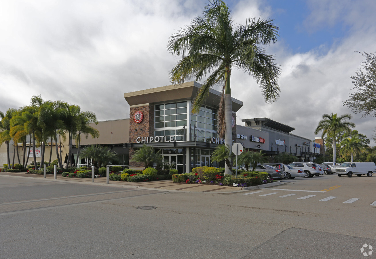
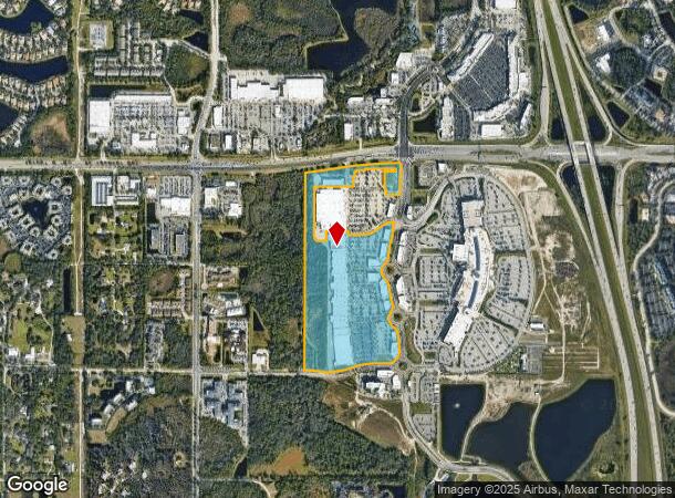
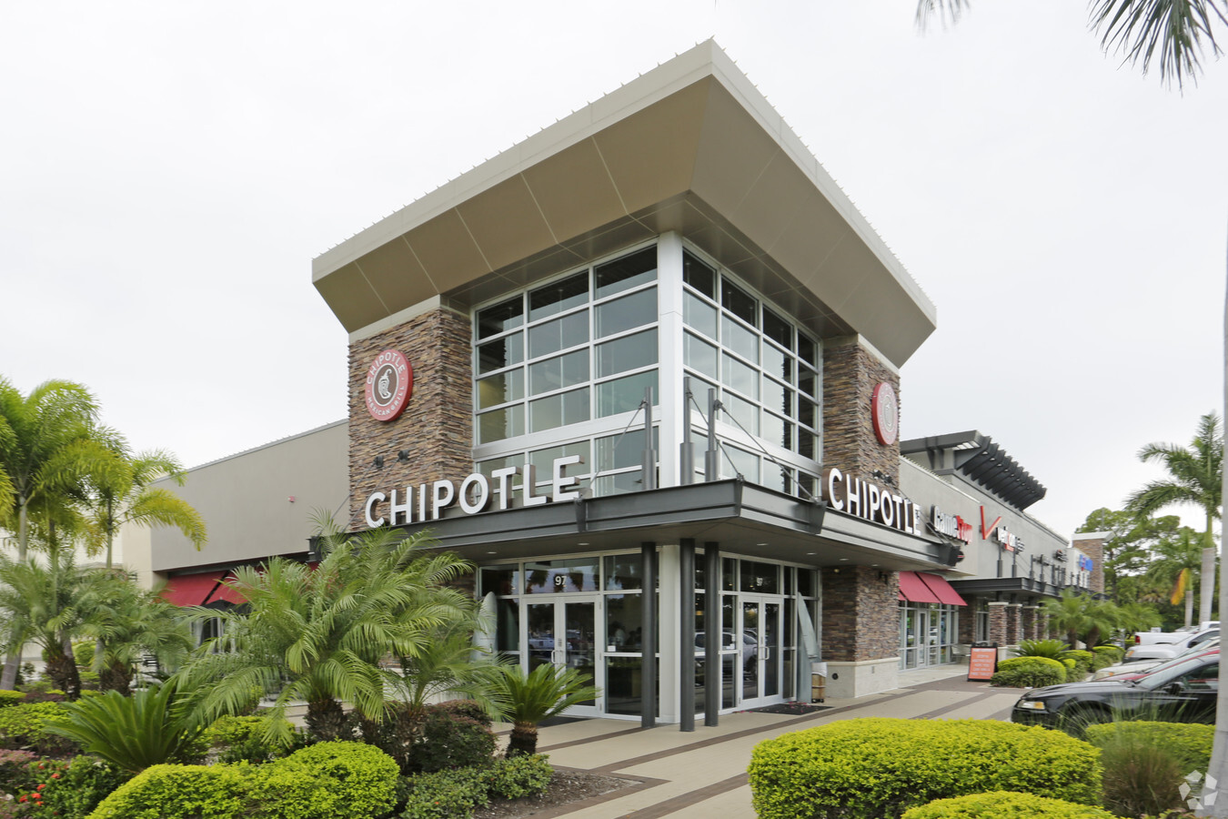
149 N Cattlemen Rd
0014-00-1020
Not Part Of A Subdivision
Departmentstore
PORTION OF FOLLOWING DESC PROPERTY LYING W OF N CATTLEMEN RD & N OF DESOTO RD AS DESC IN ORI 2015009978, PARCEL OF LAND LYING IN SEC 1-36-18 BEING DESC IN ORI 2002119505,
X
Sarasota
12115C0064G
Florida
2023
49.04 AC
2023
Sarasota
001204
Tampa/St Petersburg
434,419 SF
North Port-Sarasota-Bradenton, FL
DEMOGRAPHICS near 149 N Cattlemen Rd
1 Mile
3 Mile
5 Mile
2024 Total Population
3,907
45,482
133,231
2029 Population
4,521
52,608
154,430
Pop Growth 2024-2029
+ 15.72%
+ 15.67%
+ 15.91%
Average Age
52
52
49
2024 Total Households
1,998
21,707
59,655
HH Growth 2024-2029
+ 15.52%
+ 15.19%
+ 15.45%
Median Household Inc
$71,421
$81,314
$79,689
Avg Household Size
1.80
2.00
2.10
2024 Avg HH Vehicles
2.00
2.00
2.00
Median Home Value
$377,527
$372,986
$346,596
Median Year Built
2000
1994
1995
Nearby Places
- Restaurants
- Banks
- Shops
- Fitness
- Groceries
PUBLIC TRANSPORTATION
AIRPORT
Sarasota/Bradenton International
DRIVE
WALK
Distance
Sarasota/Bradenton International
16 min
8.1 mi
Freight Ports
Port Manatee
DRIVE
WALK
Distance
Port Manatee
31 min
21.5 mi
Nearby Properties
Address
Land Use
TOTAL SIZE
Lot Size
Zoning
Address
Land Use
TOTAL SIZE
Lot Size
Zoning
668,194 SF
45.91 AC
CG
Address
Land Use
TOTAL SIZE
Lot Size
Zoning
359,089 SF
16.72 AC
PCD
Address
Land Use
TOTAL SIZE
Lot Size
Zoning
343,100 SF
13.67 AC
VPD
Address
Land Use
TOTAL SIZE
Lot Size
Zoning
617,341 SF
76.40 AC
PD-MU
Address
Land Use
TOTAL SIZE
Lot Size
Zoning
486,203 SF
40.94 AC
RMF3
Address
Land Use
TOTAL SIZE
Lot Size
Zoning
349,363 SF
22.58 AC
VPD
Address
Land Use
TOTAL SIZE
Lot Size
Zoning
334,284 SF
30.55 AC
RMF3
Address
Land Use
TOTAL SIZE
Lot Size
Zoning
353,888 SF
22.83 AC
PD-MU
Address
Land Use
TOTAL SIZE
Lot Size
Zoning
272,602 SF
28.35 AC
PD-R
Address
Land Use
TOTAL SIZE
Lot Size
Zoning
326,645 SF
17.96 AC
RMF3
Address
Land Use
TOTAL SIZE
Lot Size
Zoning
358,441 SF
31.80 AC
PD-R
Address
Land Use
TOTAL SIZE
Lot Size
Zoning
228,240 SF
23.48 AC
Address
Land Use
TOTAL SIZE
Lot Size
Zoning
303,515 SF
36.98 AC
PD-MU
Address
Land Use
TOTAL SIZE
Lot Size
Zoning
332,686 SF
37.78 AC
VPD
Address
Land Use
TOTAL SIZE
Lot Size
Zoning
251,472 SF
11 AC
RSF2
Address
Land Use
TOTAL SIZE
Lot Size
Zoning
313,441 SF
26.91 AC
RSF2
Address
Land Use
TOTAL SIZE
Lot Size
Zoning
207,583 SF
9.48 AC
Address
Land Use
TOTAL SIZE
Lot Size
Zoning
204,843 SF
27.48 AC
PCD
Address
Land Use
TOTAL SIZE
Lot Size
Zoning
121,295 SF
26.49 AC
VPD
Address
Land Use
TOTAL SIZE
Lot Size
Zoning
120,140 SF
5.09 AC
VPD
Address
Land Use
TOTAL SIZE
Lot Size
Zoning
223,054 SF
21.72 AC
Address
Land Use
TOTAL SIZE
Lot Size
Zoning
222,774 SF
71.44 AC
PD-MU
Address
Land Use
TOTAL SIZE
Lot Size
Zoning
160,328 SF
11.75 AC
RMF-6 MULT
Address
Land Use
TOTAL SIZE
Lot Size
Zoning
128,638 SF
59.54 AC
PCD
Address
Land Use
TOTAL SIZE
Lot Size
Zoning
133,158 SF
50.27 AC
RSF2
Address
Land Use
TOTAL SIZE
Lot Size
Zoning
76,844 SF
6.79 AC
PCD
Address
Land Use
TOTAL SIZE
Lot Size
Zoning
63,064 SF
33.29 AC
GU
Address
Land Use
TOTAL SIZE
Lot Size
Zoning
11,248 SF
541.47 AC
GU
Address
Land Use
TOTAL SIZE
Lot Size
Zoning
115,731 SF
11.86 AC
PD-MU
The World's #1 Commercial Real Estate Marketplace
Connect with us
© 2025 CoStar Group
The information above has been obtained from sources believed reliable. While we do not doubt its accuracy we have not verified it and make no guarantee, warranty or representation about it. It is your responsibility to independently confirm its accuracy and completeness. Any projections, opinions, assumptions, or estimates used are for example only and do not represent the current or future performance of the property. The value of this transaction to you depends on tax and other factors which should be evaluated by your tax, financial, and legal advisors. You and your advisors should conduct a careful, independent investigation of the property to determine to your satisfaction the suitability of the property for your needs.