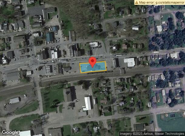
Property Record
15 W Main St, Fonda, NY 12068
NEARBY LISTINGS FOR SALE OR LEASE
-
-
View all Fonda listings for sale on LoopNet.com
Property Detail
15 W Main St
273201-035-011-0002-029-000-0000
0018
Officebuilding
Montgomery
X
New York
36057C0178E
29.000
2023
0.47 AC
2023
Montgomery County
072200
Albany/Schenectady/Troy
3,600 SF
Amsterdam, NY
DEMOGRAPHICS near 15 W Main St
1 Mile
3 Mile
5 Mile
2024 Total Population
1,618
3,883
14,751
2029 Population
1,596
3,833
14,423
Pop Growth 2024-2029
(1.36%)
(1.29%)
(2.22%)
Average Age
41
42
42
2024 Total Households
655
1,485
5,999
HH Growth 2024-2029
(1.53%)
(1.28%)
(2.30%)
Median Household Inc
$64,559
$66,263
$62,556
Avg Household Size
2.30
2.40
2.30
2024 Avg HH Vehicles
2.00
2.00
2.00
Median Home Value
$144,594
$159,012
$145,959
Median Year Built
1948
1954
1949
Nearby Places
- Restaurants
- Banks
- Shops
- Fitness
- Groceries
PUBLIC TRANSPORTATION
COMMUTER RAIL
Amsterdam (Toronto - New York - VIA Rail)
DRIVE
WALK
Distance
Amsterdam (Toronto - New York - VIA Rail)
12 min
8.4 mi
Amsterdam Amtrak Station (Empire Service - Amtrak, Maple Leaf - Amtrak)
DRIVE
WALK
Distance
Amsterdam Amtrak Station (Empire Service - Amtrak, Maple Leaf - Amtrak)
13 min
8.4 mi
Freight Ports
Albany, NY Port
DRIVE
WALK
Distance
Albany, NY Port
56 min
44.4 mi
SALE & LEASE HISTORY
LISTING DATE
SALE/LEASE

Jun 05, 2019
For Sale
Nearby Properties
Address
Land Use
TOTAL SIZE
Lot Size
Zoning
Address
Land Use
TOTAL SIZE
Lot Size
Zoning
868,726 SF
64.50 AC
06 - INDUS
Address
Land Use
TOTAL SIZE
Lot Size
Zoning
420,428 SF
31.60 AC
06 - INDUS
Address
Land Use
TOTAL SIZE
Lot Size
Zoning
124,685 SF
49.10 AC
06 - INDUS
Address
Land Use
TOTAL SIZE
Lot Size
Zoning
158,480 SF
35.79 AC
Address
Land Use
TOTAL SIZE
Lot Size
Zoning
231,673 SF
72.87 AC
CONF
Address
Land Use
TOTAL SIZE
Lot Size
Zoning
96 AC
Address
Land Use
TOTAL SIZE
Lot Size
Zoning
207,850 SF
30.50 AC
Address
Land Use
TOTAL SIZE
Lot Size
Zoning
1.70 AC
Address
Land Use
TOTAL SIZE
Lot Size
Zoning
14.20 AC
CONF
Address
Land Use
TOTAL SIZE
Lot Size
Zoning
163,700 SF
8.70 AC
Address
Land Use
TOTAL SIZE
Lot Size
Zoning
13,800 SF
17.89 AC
B2
Address
Land Use
TOTAL SIZE
Lot Size
Zoning
114,300 SF
7.90 AC
Address
Land Use
TOTAL SIZE
Lot Size
Zoning
18,585 SF
3.60 AC
CONF
Address
Land Use
TOTAL SIZE
Lot Size
Zoning
54,122 SF
5.50 AC
Address
Land Use
TOTAL SIZE
Lot Size
Zoning
Address
Land Use
TOTAL SIZE
Lot Size
Zoning
25,403 SF
5.30 AC
CONF
Address
Land Use
TOTAL SIZE
Lot Size
Zoning
41,894 SF
3.10 AC
01 - NOT Z
Address
Land Use
TOTAL SIZE
Lot Size
Zoning
58,580 SF
9.10 AC
I
Address
Land Use
TOTAL SIZE
Lot Size
Zoning
41,000 SF
6 AC
Address
Land Use
TOTAL SIZE
Lot Size
Zoning
17.30 AC
Address
Land Use
TOTAL SIZE
Lot Size
Zoning
17,000 SF
4.50 AC
Address
Land Use
TOTAL SIZE
Lot Size
Zoning
1,462 SF
55.30 AC
CONF
Address
Land Use
TOTAL SIZE
Lot Size
Zoning
42,305 SF
4.30 AC
Address
Land Use
TOTAL SIZE
Lot Size
Zoning
33,232 SF
99.30 AC
CONF
Address
Land Use
TOTAL SIZE
Lot Size
Zoning
Address
Land Use
TOTAL SIZE
Lot Size
Zoning
52,500 SF
8.10 AC
Address
Land Use
TOTAL SIZE
Lot Size
Zoning
12.23 AC
CONF
Address
Land Use
TOTAL SIZE
Lot Size
Zoning
25,763 SF
8.90 AC
B2
Address
Land Use
TOTAL SIZE
Lot Size
Zoning
12,260 SF
2 AC
RB
Address
Land Use
TOTAL SIZE
Lot Size
Zoning
36,639 SF
4.50 AC
0
The World's #1 Commercial Real Estate Marketplace
Connect with us
© 2025 CoStar Group
The information above has been obtained from sources believed reliable. While we do not doubt its accuracy we have not verified it and make no guarantee, warranty or representation about it. It is your responsibility to independently confirm its accuracy and completeness. Any projections, opinions, assumptions, or estimates used are for example only and do not represent the current or future performance of the property. The value of this transaction to you depends on tax and other factors which should be evaluated by your tax, financial, and legal advisors. You and your advisors should conduct a careful, independent investigation of the property to determine to your satisfaction the suitability of the property for your needs.