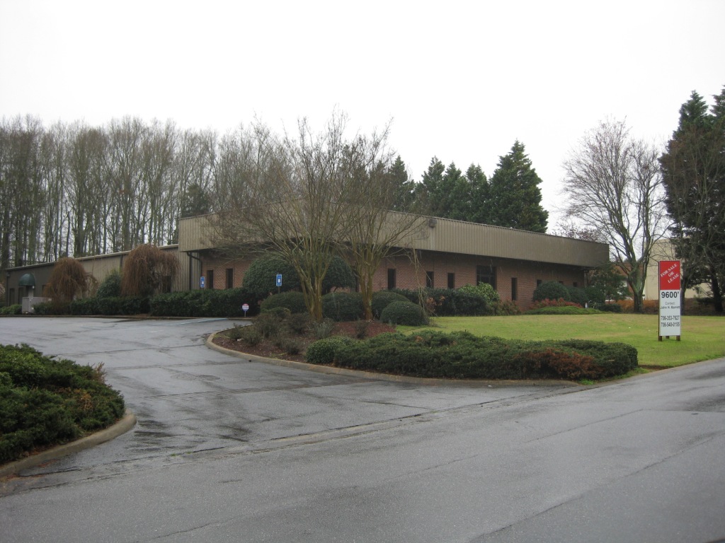
Property Record
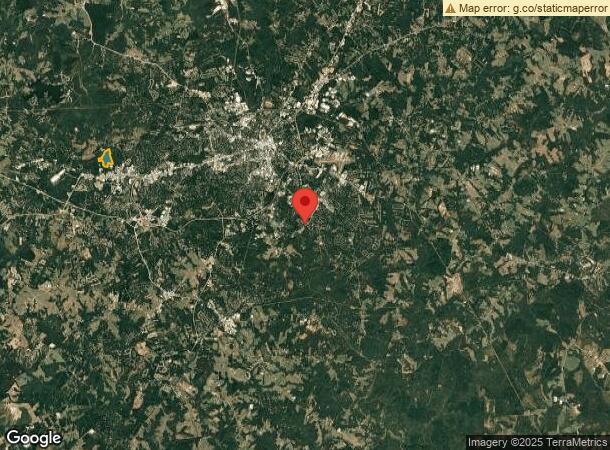
150 Whitehall Rd, Athens, GA 30605
NEARBY LISTINGS FOR SALE OR LEASE
Property Detail
150 Whitehall Rd
Athens-Clarke County, GA
Com-Ma-015->100-200
073-011
TRACT 1 - 125.121 AC - PB I/30
Privatepreserveopenspacevacantlandforestlandconservation
Clarke
X
Georgia
13059C0022E
125.12 AC
2024
Westside Athens
2024
Other Market Areas
150500
DEMOGRAPHICS near 150 Whitehall Rd
1 Mile
3 Mile
5 Mile
2024 Total Population
2,633
24,957
63,960
2029 Population
2,677
25,790
67,139
Pop Growth 2024-2029
+ 1.67%
+ 3.34%
+ 4.97%
Average Age
41
40
39
2024 Total Households
1,239
10,456
25,832
HH Growth 2024-2029
+ 1.53%
+ 2.89%
+ 4.32%
Median Household Inc
$74,999
$69,386
$69,825
Avg Household Size
2.10
2.30
2.40
2024 Avg HH Vehicles
2.00
2.00
2.00
Median Home Value
$254,255
$291,863
$305,349
Median Year Built
1998
1995
1990
Nearby Places
- Restaurants
- Banks
- Shops
- Fitness
- Groceries
SALE & LEASE HISTORY
LISTING DATE
SALE/LEASE

Aug 26, 2022
For Lease
Aug 24, 2022
For Lease
Nearby Properties
Address
Land Use
TOTAL SIZE
Lot Size
Zoning
Address
Land Use
TOTAL SIZE
Lot Size
Zoning
21.57 AC
G
Address
Land Use
TOTAL SIZE
Lot Size
Zoning
49.33 AC
G
Address
Land Use
TOTAL SIZE
Lot Size
Zoning
35 AC
G
Address
Land Use
TOTAL SIZE
Lot Size
Zoning
17.90 AC
G
Address
Land Use
TOTAL SIZE
Lot Size
Zoning
47.56 AC
G
Address
Land Use
TOTAL SIZE
Lot Size
Zoning
2,094.97 AC
G
Address
Land Use
TOTAL SIZE
Lot Size
Zoning
300,000 SF
122.56 AC
G
Address
Land Use
TOTAL SIZE
Lot Size
Zoning
16.60 AC
G
Address
Land Use
TOTAL SIZE
Lot Size
Zoning
225,000 SF
98.91 AC
G
Address
Land Use
TOTAL SIZE
Lot Size
Zoning
122,400 SF
12.51 AC
G
Address
Land Use
TOTAL SIZE
Lot Size
Zoning
21.04 AC
G
Address
Land Use
TOTAL SIZE
Lot Size
Zoning
5.49 AC
G
Address
Land Use
TOTAL SIZE
Lot Size
Zoning
8.38 AC
G
Address
Land Use
TOTAL SIZE
Lot Size
Zoning
36.88 AC
G
Address
Land Use
TOTAL SIZE
Lot Size
Zoning
17.23 AC
G
Address
Land Use
TOTAL SIZE
Lot Size
Zoning
6.15 AC
G
Address
Land Use
TOTAL SIZE
Lot Size
Zoning
986 SF
40.54 AC
RM-1
Address
Land Use
TOTAL SIZE
Lot Size
Zoning
56.20 AC
G
Address
Land Use
TOTAL SIZE
Lot Size
Zoning
1,956 SF
93.87 AC
RM-1
Address
Land Use
TOTAL SIZE
Lot Size
Zoning
26.76 AC
G
Address
Land Use
TOTAL SIZE
Lot Size
Zoning
28.29 AC
G
Address
Land Use
TOTAL SIZE
Lot Size
Zoning
28.91 AC
G
Address
Land Use
TOTAL SIZE
Lot Size
Zoning
4,014 SF
29.58 AC
RM-1
Address
Land Use
TOTAL SIZE
Lot Size
Zoning
6.01 AC
G
Address
Land Use
TOTAL SIZE
Lot Size
Zoning
1,624 SF
20.04 AC
RM-1
Address
Land Use
TOTAL SIZE
Lot Size
Zoning
22,920 SF
9.99 AC
RM-2
Address
Land Use
TOTAL SIZE
Lot Size
Zoning
5.91 AC
G
Address
Land Use
TOTAL SIZE
Lot Size
Zoning
2,062 SF
24.33 AC
RM-1
Address
Land Use
TOTAL SIZE
Lot Size
Zoning
16.58 AC
G
Address
Land Use
TOTAL SIZE
Lot Size
Zoning
3,339 SF
16.80 AC
RM-1
The World's #1 Commercial Real Estate Marketplace
Connect with us
© 2025 CoStar Group
The information above has been obtained from sources believed reliable. While we do not doubt its accuracy we have not verified it and make no guarantee, warranty or representation about it. It is your responsibility to independently confirm its accuracy and completeness. Any projections, opinions, assumptions, or estimates used are for example only and do not represent the current or future performance of the property. The value of this transaction to you depends on tax and other factors which should be evaluated by your tax, financial, and legal advisors. You and your advisors should conduct a careful, independent investigation of the property to determine to your satisfaction the suitability of the property for your needs.