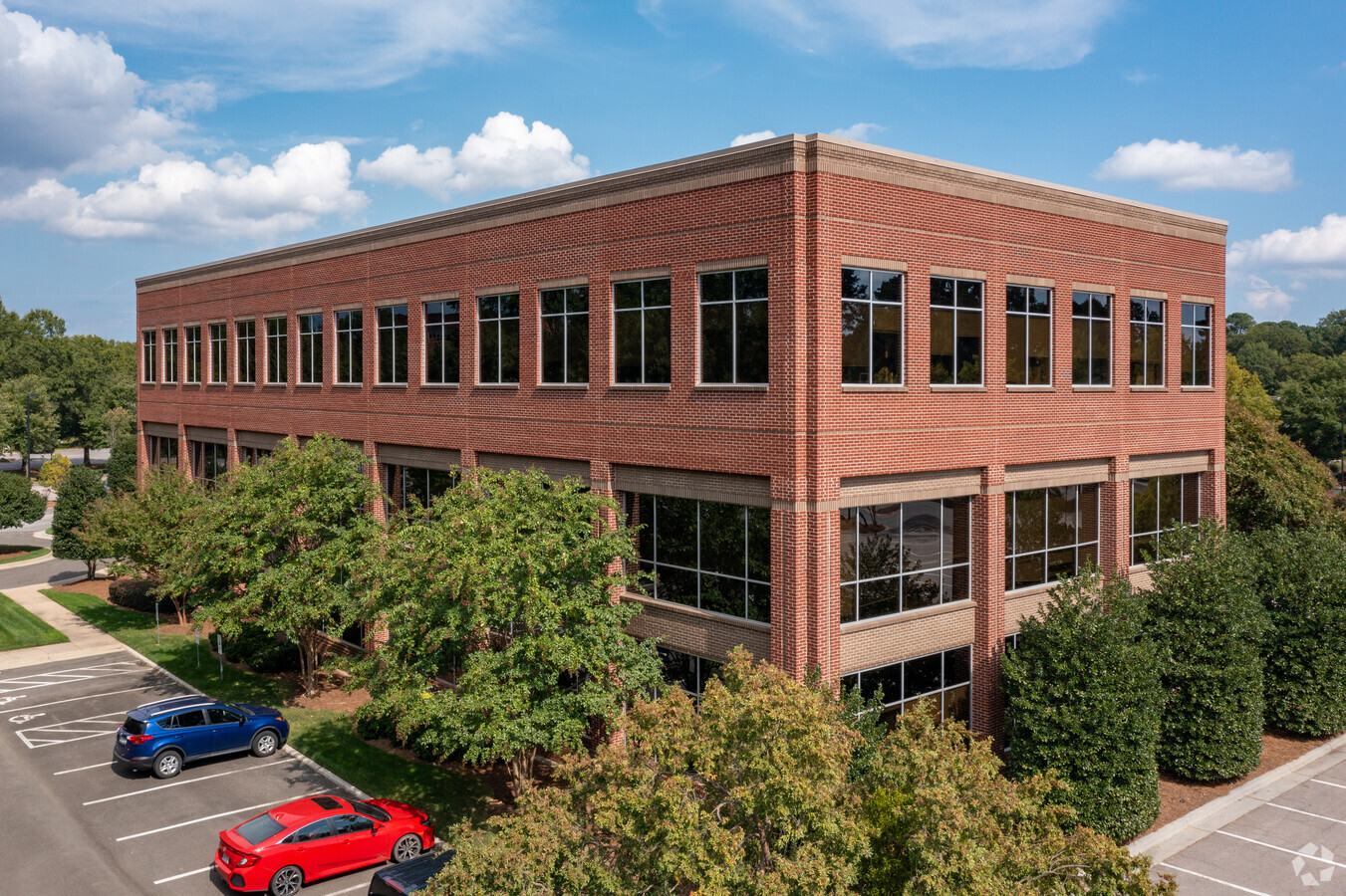
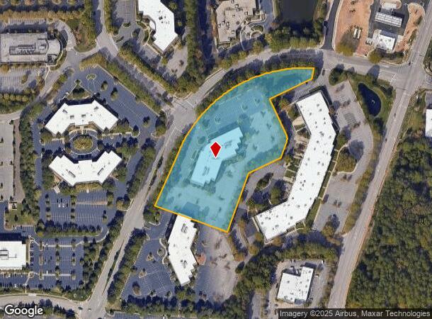
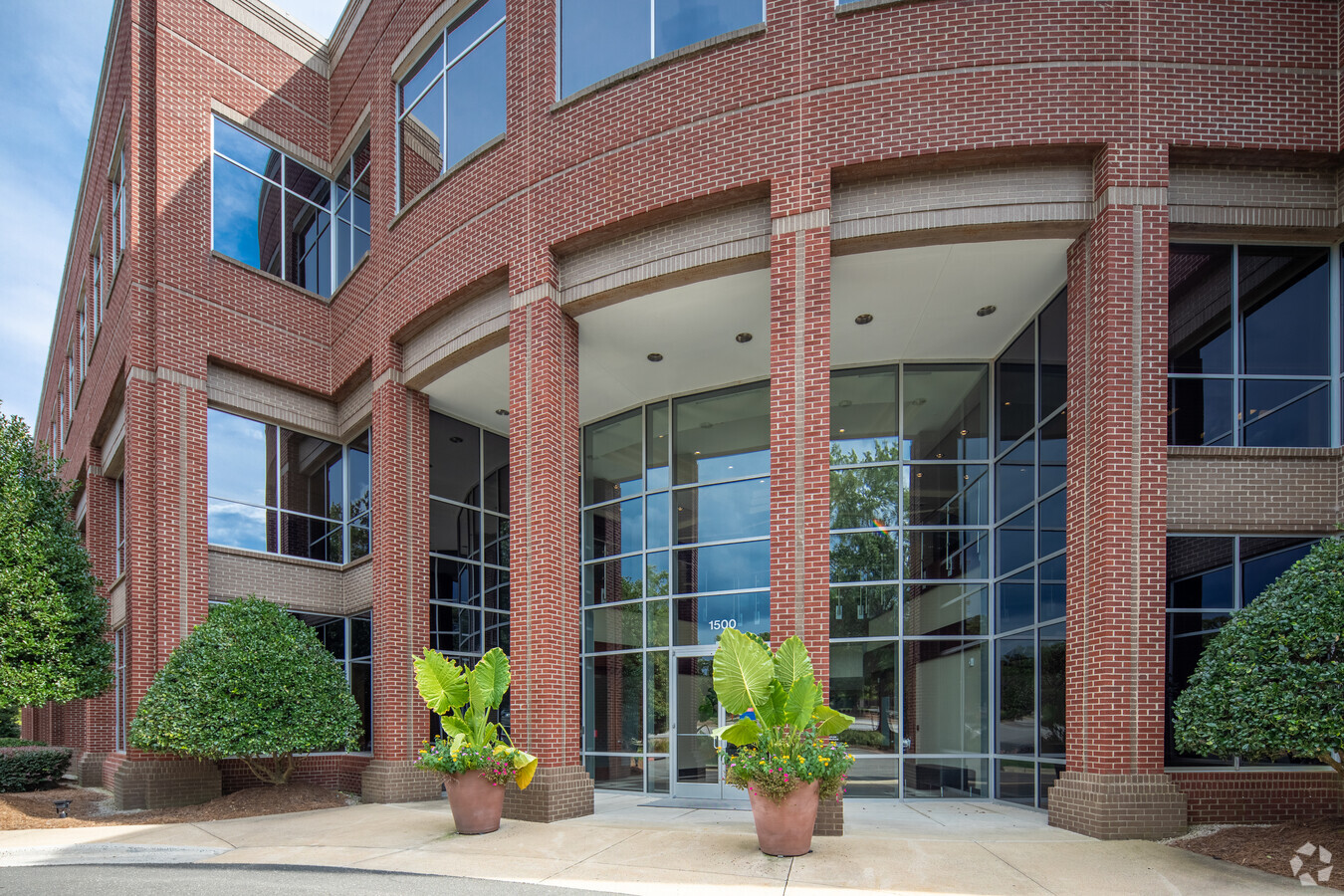
Property Record
1500 Perimeter Park Dr, Morrisville, NC 27560
Current Lease Availabilities
NEARBY LISTINGS FOR SALE OR LEASE
Property Detail
1500 Perimeter Park Dr
Raleigh, NC
Perimeter Park
0756.01-05-9486-000
LO2A PERIMETER PARK WEST BM1995-00759
Officebuilding
Wake
X
North Carolina
3720075600K
2a
2024
5.47 AC
2024
RTP/RDU
053609
Raleigh/Durham
80,374 SF
DEMOGRAPHICS near 1500 Perimeter Park Dr
1 Mile
3 Mile
5 Mile
2024 Total Population
1,505
50,923
144,131
2029 Population
1,728
55,781
156,899
Pop Growth 2024-2029
+ 14.82%
+ 9.54%
+ 8.86%
Average Age
34
35
37
2024 Total Households
645
20,121
58,175
HH Growth 2024-2029
+ 15.19%
+ 9.47%
+ 8.80%
Median Household Inc
$90,576
$105,853
$112,555
Avg Household Size
2.30
2.50
2.40
2024 Avg HH Vehicles
2.00
2.00
2.00
Median Home Value
$390,384
$404,667
$457,312
Median Year Built
2011
2008
2005
Nearby Places
- Restaurants
- Banks
- Shops
- Fitness
- Groceries
PUBLIC TRANSPORTATION
AIRPORT
Raleigh-Durham International
DRIVE
WALK
Distance
Raleigh-Durham International
9 min
3.0 mi
Nearby Properties
Address
Land Use
TOTAL SIZE
Lot Size
Zoning
Address
Land Use
TOTAL SIZE
Lot Size
Zoning
3,676,148 SF
4,584.26 AC
AD-2
Address
Land Use
TOTAL SIZE
Lot Size
Zoning
896,802 SF
86.14 AC
RA
Address
Land Use
TOTAL SIZE
Lot Size
Zoning
237,537 SF
24.60 AC
C-BAC
Address
Land Use
TOTAL SIZE
Lot Size
Zoning
949,404 SF
26.71 AC
OIP
Address
Land Use
TOTAL SIZE
Lot Size
Zoning
597,624 SF
53.04 AC
RA
Address
Land Use
TOTAL SIZE
Lot Size
Zoning
1,272,163 SF
117.61 AC
OI,SRP
Address
Land Use
TOTAL SIZE
Lot Size
Zoning
312,475 SF
21.74 AC
RMFP
Address
Land Use
TOTAL SIZE
Lot Size
Zoning
368,195 SF
32.11 AC
HDR
Address
Land Use
TOTAL SIZE
Lot Size
Zoning
358,853 SF
16.94 AC
RMFP
Address
Land Use
TOTAL SIZE
Lot Size
Zoning
358,137 SF
22.39 AC
RMFP
Address
Land Use
TOTAL SIZE
Lot Size
Zoning
507,119 SF
118.85 AC
SRP
Address
Land Use
TOTAL SIZE
Lot Size
Zoning
300,662 SF
12.68 AC
BAC-GO
Address
Land Use
TOTAL SIZE
Lot Size
Zoning
414,214 SF
11.23 AC
OIP
Address
Land Use
TOTAL SIZE
Lot Size
Zoning
444,236 SF
8.51 AC
ORDP
Address
Land Use
TOTAL SIZE
Lot Size
Zoning
273,637 SF
19.57 AC
C-NAC
Address
Land Use
TOTAL SIZE
Lot Size
Zoning
298,457 SF
35.55 AC
RAC
Address
Land Use
TOTAL SIZE
Lot Size
Zoning
272,508 SF
15.49 AC
NAC
Address
Land Use
TOTAL SIZE
Lot Size
Zoning
408,968 SF
32.58 AC
HDR
Address
Land Use
TOTAL SIZE
Lot Size
Zoning
394,181 SF
28.62 AC
HDR
Address
Land Use
TOTAL SIZE
Lot Size
Zoning
172,116 SF
56.06 AC
C-OI
Address
Land Use
TOTAL SIZE
Lot Size
Zoning
513,738 SF
35.66 AC
OIP
Address
Land Use
TOTAL SIZE
Lot Size
Zoning
579,364 SF
32.23 AC
IM
Address
Land Use
TOTAL SIZE
Lot Size
Zoning
261,061 SF
18.75 AC
HDR
Address
Land Use
TOTAL SIZE
Lot Size
Zoning
559,179 SF
6.97 AC
IP
Address
Land Use
TOTAL SIZE
Lot Size
Zoning
463,340 SF
12.38 AC
OI
Address
Land Use
TOTAL SIZE
Lot Size
Zoning
328,572 SF
30.55 AC
HDR
Address
Land Use
TOTAL SIZE
Lot Size
Zoning
425,972 SF
41.46 AC
RA
Address
Land Use
TOTAL SIZE
Lot Size
Zoning
200,331 SF
9.60 AC
OIM
Address
Land Use
TOTAL SIZE
Lot Size
Zoning
257,892 SF
18.84 AC
OI
Address
Land Use
TOTAL SIZE
Lot Size
Zoning
312,240 SF
24.05 AC
OI
The World's #1 Commercial Real Estate Marketplace
Connect with us
© 2025 CoStar Group
The information above has been obtained from sources believed reliable. While we do not doubt its accuracy we have not verified it and make no guarantee, warranty or representation about it. It is your responsibility to independently confirm its accuracy and completeness. Any projections, opinions, assumptions, or estimates used are for example only and do not represent the current or future performance of the property. The value of this transaction to you depends on tax and other factors which should be evaluated by your tax, financial, and legal advisors. You and your advisors should conduct a careful, independent investigation of the property to determine to your satisfaction the suitability of the property for your needs.