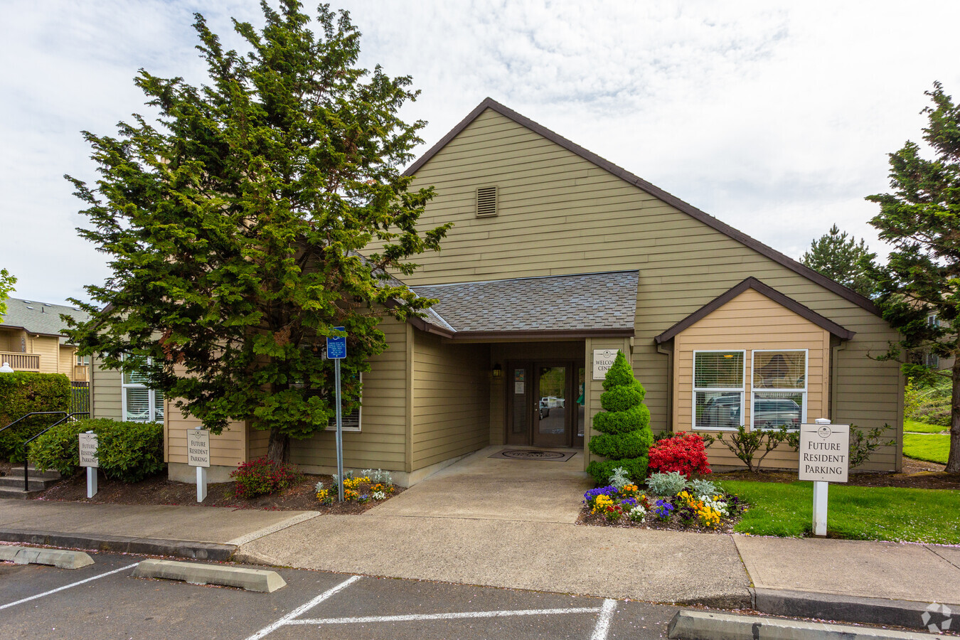
Property Record
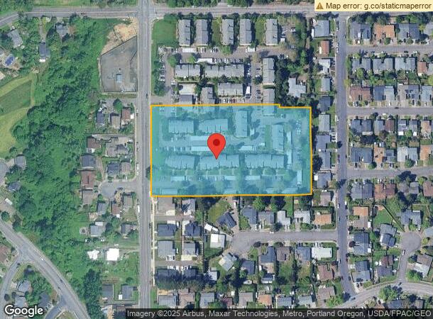
1500 Sw Pleasant View Dr, Gresham, OR 97080
NEARBY LISTINGS FOR SALE OR LEASE
Property Detail
1500 Sw Pleasant View Dr
R340408
SECTION 17 1S 3E, TL 300 4.96 ACRES
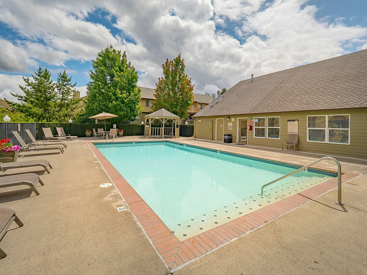
Multifamilydwelling
Multnomah
X
Oregon
41051C0402J
4.96 AC
2023
Gresham-Southwest
2023
Portland
009905
Portland-Vancouver-Hillsboro, OR-WA
199,805 SF
DEMOGRAPHICS near 1500 Sw Pleasant View Dr
1 Mile
3 Mile
5 Mile
2024 Total Population
16,042
112,347
285,368
2029 Population
15,637
110,096
280,924
Pop Growth 2024-2029
(2.52%)
(2.00%)
(1.56%)
Average Age
41
39
40
2024 Total Households
5,760
39,136
99,489
HH Growth 2024-2029
(2.86%)
(2.34%)
(1.91%)
Median Household Inc
$77,025
$63,323
$69,399
Avg Household Size
2.70
2.70
2.70
2024 Avg HH Vehicles
2.00
2.00
2.00
Median Home Value
$409,944
$384,750
$410,502
Median Year Built
1982
1979
1982
Nearby Places
- Restaurants
- Banks
- Shops
- Fitness
- Groceries
PUBLIC TRANSPORTATION
AIRPORT
Portland International
DRIVE
WALK
Distance
Portland International
24 min
13.3 mi
Freight Ports
Port of Portland
DRIVE
WALK
Distance
Port of Portland
31 min
18.7 mi
Nearby Properties
Address
Land Use
TOTAL SIZE
Lot Size
Zoning
Address
Land Use
TOTAL SIZE
Lot Size
Zoning
Address
Land Use
TOTAL SIZE
Lot Size
Zoning
3.20 AC
DEM
Address
Land Use
TOTAL SIZE
Lot Size
Zoning
137.54 AC
GI
Address
Land Use
TOTAL SIZE
Lot Size
Zoning
81,136 SF
6.89 AC
RTC
Address
Land Use
TOTAL SIZE
Lot Size
Zoning
109,231 SF
7.87 AC
HI
Address
Land Use
TOTAL SIZE
Lot Size
Zoning
75,850 SF
11.55 AC
LDR-5
Address
Land Use
TOTAL SIZE
Lot Size
Zoning
123,716 SF
20.03 AC
LDR-5
Address
Land Use
TOTAL SIZE
Lot Size
Zoning
357,603 SF
22.69 AC
GI
Address
Land Use
TOTAL SIZE
Lot Size
Zoning
237,815 SF
22.70 AC
TLDR
Address
Land Use
TOTAL SIZE
Lot Size
Zoning
85,380 SF
5.04 AC
TD
Address
Land Use
TOTAL SIZE
Lot Size
Zoning
129,462 SF
15.90 AC
R7
Address
Land Use
TOTAL SIZE
Lot Size
Zoning
258,564 SF
20.56 AC
LDR7
Address
Land Use
TOTAL SIZE
Lot Size
Zoning
86,138 SF
5.93 AC
R7
Address
Land Use
TOTAL SIZE
Lot Size
Zoning
238,492 SF
13.10 AC
CMF
Address
Land Use
TOTAL SIZE
Lot Size
Zoning
254,580 SF
4.76 AC
TDHC
Address
Land Use
TOTAL SIZE
Lot Size
Zoning
222,022 SF
11.64 AC
CMF
Address
Land Use
TOTAL SIZE
Lot Size
Zoning
60,000 SF
1.55 AC
RTC
Address
Land Use
TOTAL SIZE
Lot Size
Zoning
83,072 SF
9.58 AC
LDR-5
Address
Land Use
TOTAL SIZE
Lot Size
Zoning
95,642 SF
5.30 AC
HI
Address
Land Use
TOTAL SIZE
Lot Size
Zoning
141,899 SF
13.51 AC
DMU
Address
Land Use
TOTAL SIZE
Lot Size
Zoning
61,524 SF
7.31 AC
LDR-5
Address
Land Use
TOTAL SIZE
Lot Size
Zoning
208,905 SF
10.17 AC
CMF
Address
Land Use
TOTAL SIZE
Lot Size
Zoning
87,429 SF
0.95 AC
DTM
Address
Land Use
TOTAL SIZE
Lot Size
Zoning
95,901 SF
4.91 AC
CC
Address
Land Use
TOTAL SIZE
Lot Size
Zoning
64,934 SF
9.88 AC
LDR-7
Address
Land Use
TOTAL SIZE
Lot Size
Zoning
97,430 SF
13.90 AC
HI
Address
Land Use
TOTAL SIZE
Lot Size
Zoning
67,554 SF
3.88 AC
TD
Address
Land Use
TOTAL SIZE
Lot Size
Zoning
91,523 SF
4.19 AC
RM1
Address
Land Use
TOTAL SIZE
Lot Size
Zoning
174,096 SF
6.15 AC
RTC
The World's #1 Commercial Real Estate Marketplace
Connect with us
© 2025 CoStar Group
The information above has been obtained from sources believed reliable. While we do not doubt its accuracy we have not verified it and make no guarantee, warranty or representation about it. It is your responsibility to independently confirm its accuracy and completeness. Any projections, opinions, assumptions, or estimates used are for example only and do not represent the current or future performance of the property. The value of this transaction to you depends on tax and other factors which should be evaluated by your tax, financial, and legal advisors. You and your advisors should conduct a careful, independent investigation of the property to determine to your satisfaction the suitability of the property for your needs.