Property Record
1501 W Bankhead Hwy, Springtown, TX 76082

NEARBY LISTINGS FOR SALE OR LEASE
-
-
View all Springtown listings for sale on LoopNet.com
Property Detail
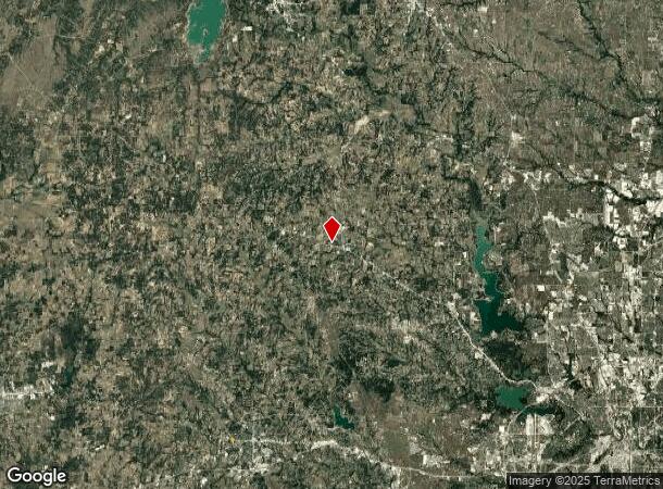
1501 W Bankhead Hwy
Dallas-Fort Worth-Arlington, TX
Hobsons Corner
13584-001-001-00
ACRES: 1.552 LOT: 1 BLK: 1 SUBD: HOBSONS CORNER DOLLAR GENERAL
Commercialnec
Parker
X
Texas
48367C0265F
1
2023
1.55 AC
2023
Parker County
140403
Dallas/Ft Worth
9,240 SF
DEMOGRAPHICS near 1501 W Bankhead Hwy
1 Mile
3 Mile
5 Mile
2024 Total Population
3,698
26,560
45,642
2029 Population
4,729
34,201
58,912
Pop Growth 2024-2029
+ 27.88%
+ 28.77%
+ 29.07%
Average Age
38
40
40
2024 Total Households
1,413
10,467
17,591
HH Growth 2024-2029
+ 27.81%
+ 28.84%
+ 29.13%
Median Household Inc
$72,734
$63,419
$67,904
Avg Household Size
2.50
2.40
2.50
2024 Avg HH Vehicles
2.00
2.00
2.00
Median Home Value
$233,096
$252,265
$273,802
Median Year Built
1972
1988
1997
Nearby Places
- Restaurants
- Banks
- Shops
- Fitness
- Groceries
SALE & LEASE HISTORY
LISTING DATE
SALE/LEASE

Jul 03, 2024
For Sale
Nearby Properties
Address
Land Use
TOTAL SIZE
Lot Size
Zoning
Address
Land Use
TOTAL SIZE
Lot Size
Zoning
65,806 SF
5.83 AC
Address
Land Use
TOTAL SIZE
Lot Size
Zoning
99,724 SF
7.45 AC
Address
Land Use
TOTAL SIZE
Lot Size
Zoning
41,629 SF
4.66 AC
Address
Land Use
TOTAL SIZE
Lot Size
Zoning
22,300 SF
7.68 AC
Address
Land Use
TOTAL SIZE
Lot Size
Zoning
50.42 AC
Address
Land Use
TOTAL SIZE
Lot Size
Zoning
2,400 SF
4.90 AC
Address
Land Use
TOTAL SIZE
Lot Size
Zoning
28,300 SF
2.10 AC
Address
Land Use
TOTAL SIZE
Lot Size
Zoning
6,600 SF
2.01 AC
Address
Land Use
TOTAL SIZE
Lot Size
Zoning
9,100 SF
1.32 AC
Address
Land Use
TOTAL SIZE
Lot Size
Zoning
5,600 SF
2 AC
Address
Land Use
TOTAL SIZE
Lot Size
Zoning
34,040 SF
14.75 AC
Address
Land Use
TOTAL SIZE
Lot Size
Zoning
1,256 SF
36.05 AC
Address
Land Use
TOTAL SIZE
Lot Size
Zoning
15,000 SF
2.28 AC
Address
Land Use
TOTAL SIZE
Lot Size
Zoning
33.61 AC
Address
Land Use
TOTAL SIZE
Lot Size
Zoning
14,300 SF
1.45 AC
Address
Land Use
TOTAL SIZE
Lot Size
Zoning
5,001 SF
1.01 AC
Address
Land Use
TOTAL SIZE
Lot Size
Zoning
20,628 SF
2 AC
Address
Land Use
TOTAL SIZE
Lot Size
Zoning
4,000 SF
3 AC
Address
Land Use
TOTAL SIZE
Lot Size
Zoning
12,200 SF
7.74 AC
Address
Land Use
TOTAL SIZE
Lot Size
Zoning
4,640 SF
1.68 AC
Address
Land Use
TOTAL SIZE
Lot Size
Zoning
3,268 SF
1.53 AC
Address
Land Use
TOTAL SIZE
Lot Size
Zoning
7,265 SF
26.78 AC
Address
Land Use
TOTAL SIZE
Lot Size
Zoning
4,000 SF
3.07 AC
Address
Land Use
TOTAL SIZE
Lot Size
Zoning
17,464 SF
1.66 AC
Address
Land Use
TOTAL SIZE
Lot Size
Zoning
7,360 SF
1.28 AC
Address
Land Use
TOTAL SIZE
Lot Size
Zoning
21,636 SF
1.81 AC
Address
Land Use
TOTAL SIZE
Lot Size
Zoning
9,608 SF
2 AC
Address
Land Use
TOTAL SIZE
Lot Size
Zoning
4,400 SF
2.25 AC
Address
Land Use
TOTAL SIZE
Lot Size
Zoning
7,000 SF
0.70 AC
Address
Land Use
TOTAL SIZE
Lot Size
Zoning
6,376 SF
0.87 AC
The World's #1 Commercial Real Estate Marketplace
Connect with us
© 2025 CoStar Group
The information above has been obtained from sources believed reliable. While we do not doubt its accuracy we have not verified it and make no guarantee, warranty or representation about it. It is your responsibility to independently confirm its accuracy and completeness. Any projections, opinions, assumptions, or estimates used are for example only and do not represent the current or future performance of the property. The value of this transaction to you depends on tax and other factors which should be evaluated by your tax, financial, and legal advisors. You and your advisors should conduct a careful, independent investigation of the property to determine to your satisfaction the suitability of the property for your needs.