Property Record
15050 Heathcote Blvd, Haymarket, VA 20169
NEARBY LISTINGS FOR SALE OR LEASE
Property Detail
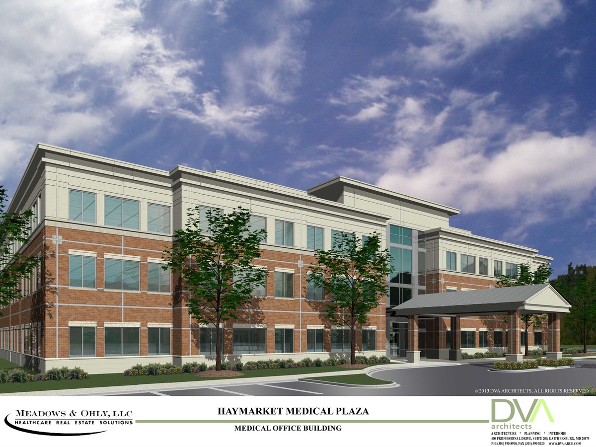
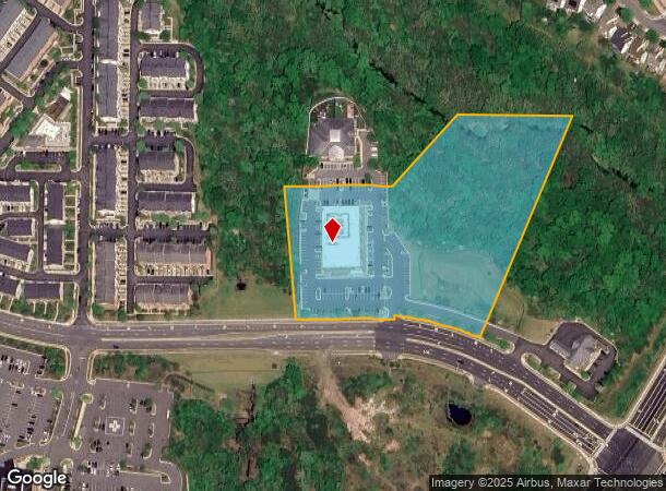
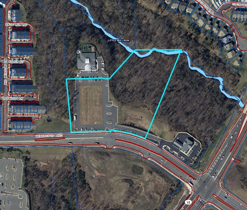
15050 Heathcote Blvd
Washington-Arlington-Alexandria, DC-VA-MD-WV
Prop Of The Village
7298-83-6287
PROP OF THE VILLAGE AT HEATHCOTE PCL 2
Medicalbuilding
Prince William
AE
Virginia
51061C0250D
6287
2024
7.18 AC
2024
Route 29/I-66 Corridor
901510
Washington, DC
36,554 SF
DEMOGRAPHICS near 15050 Heathcote Blvd
1 Mile
3 Mile
5 Mile
2024 Total Population
8,947
47,959
71,511
2029 Population
9,172
49,527
73,715
Pop Growth 2024-2029
+ 2.51%
+ 3.27%
+ 3.08%
Average Age
36
41
40
2024 Total Households
2,795
16,301
23,298
HH Growth 2024-2029
+ 2.50%
+ 3.27%
+ 3.14%
Median Household Inc
$148,720
$144,286
$146,902
Avg Household Size
3.20
2.90
3.00
2024 Avg HH Vehicles
2.00
2.00
2.00
Median Home Value
$605,581
$637,914
$644,751
Median Year Built
2005
2005
2004
Nearby Places
- Restaurants
- Banks
- Shops
- Fitness
- Groceries
PUBLIC TRANSPORTATION
AIRPORT
Washington Dulles International
DRIVE
WALK
Distance
Washington Dulles International
37 min
24.5 mi
Freight Ports
Port of Baltimore
DRIVE
WALK
Distance
Port of Baltimore
96 min
74.9 mi
Nearby Properties
Address
Land Use
TOTAL SIZE
Lot Size
Zoning
Address
Land Use
TOTAL SIZE
Lot Size
Zoning
453,174 SF
38.50 AC
PBD
Address
Land Use
TOTAL SIZE
Lot Size
Zoning
760,252 SF
45.18 AC
OM
Address
Land Use
TOTAL SIZE
Lot Size
Zoning
560,942 SF
102.76 AC
B3
Address
Land Use
TOTAL SIZE
Lot Size
Zoning
220,552 SF
30.95 AC
PMD
Address
Land Use
TOTAL SIZE
Lot Size
Zoning
333,737 SF
37.06 AC
RPC
Address
Land Use
TOTAL SIZE
Lot Size
Zoning
298,474 SF
11.60 AC
PMR
Address
Land Use
TOTAL SIZE
Lot Size
Zoning
236,082 SF
28.27 AC
M2
Address
Land Use
TOTAL SIZE
Lot Size
Zoning
280,221 SF
78.34 AC
RPC
Address
Land Use
TOTAL SIZE
Lot Size
Zoning
161.28 AC
PBD
Address
Land Use
TOTAL SIZE
Lot Size
Zoning
52.02 AC
PBD
Address
Land Use
TOTAL SIZE
Lot Size
Zoning
75,317 SF
13.68 AC
R16
Address
Land Use
TOTAL SIZE
Lot Size
Zoning
241,328 SF
8.66 AC
B1
Address
Land Use
TOTAL SIZE
Lot Size
Zoning
140,285 SF
20.50 AC
RPC
Address
Land Use
TOTAL SIZE
Lot Size
Zoning
92,182 SF
19.90 AC
B1
Address
Land Use
TOTAL SIZE
Lot Size
Zoning
285,889 SF
19.61 AC
M1
Address
Land Use
TOTAL SIZE
Lot Size
Zoning
144,869 SF
40.78 AC
A1
Address
Land Use
TOTAL SIZE
Lot Size
Zoning
482,223 SF
29.18 AC
PBD
Address
Land Use
TOTAL SIZE
Lot Size
Zoning
125,653 SF
19.78 AC
MIXED
Address
Land Use
TOTAL SIZE
Lot Size
Zoning
80,141 SF
8.67 AC
B1
Address
Land Use
TOTAL SIZE
Lot Size
Zoning
99,391 SF
24.31 AC
SR1
Address
Land Use
TOTAL SIZE
Lot Size
Zoning
95,846 SF
17.99 AC
RPC
Address
Land Use
TOTAL SIZE
Lot Size
Zoning
158,198 SF
7.13 AC
M1
Address
Land Use
TOTAL SIZE
Lot Size
Zoning
107,175 SF
6.96 AC
RPC
Address
Land Use
TOTAL SIZE
Lot Size
Zoning
89,949 SF
15 AC
R4
Address
Land Use
TOTAL SIZE
Lot Size
Zoning
102,058 SF
7.07 AC
PBD
Address
Land Use
TOTAL SIZE
Lot Size
Zoning
104,161 SF
38.96 AC
A1
Address
Land Use
TOTAL SIZE
Lot Size
Zoning
136,530 SF
1.98 AC
M1
Address
Land Use
TOTAL SIZE
Lot Size
Zoning
133,296 SF
6.24 AC
M2
Address
Land Use
TOTAL SIZE
Lot Size
Zoning
81,462 SF
PMD
Address
Land Use
TOTAL SIZE
Lot Size
Zoning
97,037 SF
11.68 AC
B1
The World's #1 Commercial Real Estate Marketplace
Connect with us
© 2025 CoStar Group
The information above has been obtained from sources believed reliable. While we do not doubt its accuracy we have not verified it and make no guarantee, warranty or representation about it. It is your responsibility to independently confirm its accuracy and completeness. Any projections, opinions, assumptions, or estimates used are for example only and do not represent the current or future performance of the property. The value of this transaction to you depends on tax and other factors which should be evaluated by your tax, financial, and legal advisors. You and your advisors should conduct a careful, independent investigation of the property to determine to your satisfaction the suitability of the property for your needs.