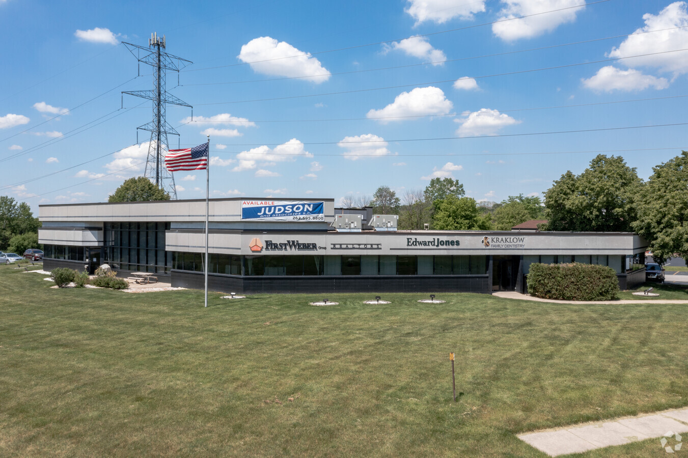
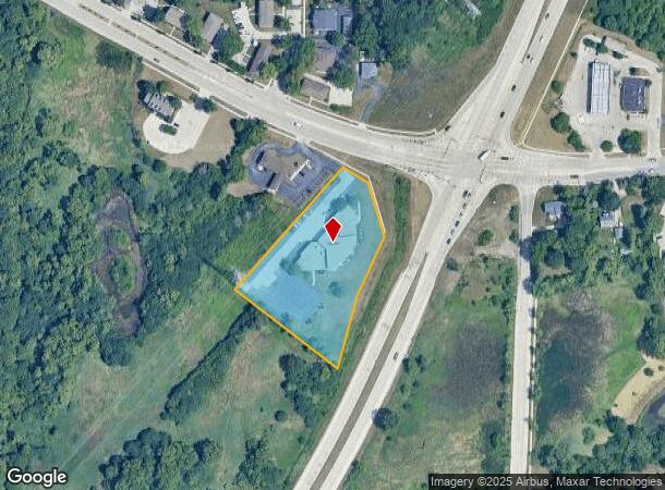
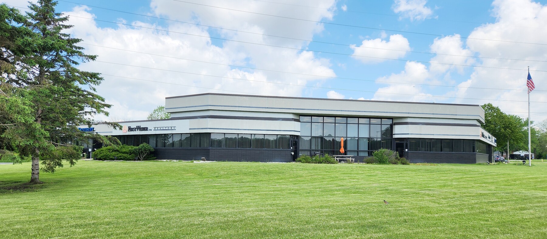
Property Record
1507 E Sunset Dr, Waukesha, WI 53189

NEARBY LISTINGS FOR SALE OR LEASE
Property Detail
1507 E Sunset Dr
Milwaukee-Waukesha-West Allis, WI
Certified
WAKC-1349-032
LOT 3 CSM NO 5821 (V47 CSM P225) PT NE1/4 SEC 14 T6N R19E2.39 AC DOC NO 4561024
Commercialnec
Waukesha
X
Wisconsin
55133C0327H
3
2023
2.39 AC
2023
Central Waukesha
202103
Milwaukee/Madison
14,000 SF
DEMOGRAPHICS near 1507 E Sunset Dr
1 Mile
3 Mile
5 Mile
2024 Total Population
7,998
53,149
106,272
2029 Population
8,239
55,002
110,142
Pop Growth 2024-2029
+ 3.01%
+ 3.49%
+ 3.64%
Average Age
41
40
41
2024 Total Households
3,375
22,850
44,803
HH Growth 2024-2029
+ 3.05%
+ 3.68%
+ 3.76%
Median Household Inc
$81,622
$69,236
$79,068
Avg Household Size
2.30
2.20
2.30
2024 Avg HH Vehicles
2.00
2.00
2.00
Median Home Value
$269,349
$250,651
$282,425
Median Year Built
1979
1975
1979
Nearby Places
- Restaurants
- Banks
- Shops
- Fitness
- Groceries
PUBLIC TRANSPORTATION
AIRPORT
General Mitchell International
DRIVE
WALK
Distance
General Mitchell International
33 min
20.2 mi
Freight Ports
Port Milwaukee
DRIVE
WALK
Distance
Port Milwaukee
32 min
20.3 mi
SALE & LEASE HISTORY
LISTING DATE
SALE/LEASE

Nov 09, 2017
For Lease
May 28, 2024
For Sale
Mar 16, 2021
For Lease
Nearby Properties
Address
Land Use
TOTAL SIZE
Lot Size
Zoning
Address
Land Use
TOTAL SIZE
Lot Size
Zoning
21.73 AC
M-1
Address
Land Use
TOTAL SIZE
Lot Size
Zoning
68,591 SF
2.97 AC
RM-3(PUD)
Address
Land Use
TOTAL SIZE
Lot Size
Zoning
6.56 AC
I-1
Address
Land Use
TOTAL SIZE
Lot Size
Zoning
237,267 SF
16.14 AC
B-5
Address
Land Use
TOTAL SIZE
Lot Size
Zoning
19.01 AC
RM-2
Address
Land Use
TOTAL SIZE
Lot Size
Zoning
110,992 SF
12.15 AC
RM-1(PUD)
Address
Land Use
TOTAL SIZE
Lot Size
Zoning
187,050 SF
24.37 AC
B-5, C-1
Address
Land Use
TOTAL SIZE
Lot Size
Zoning
61,299 SF
6.59 AC
RM-2(PUD)
Address
Land Use
TOTAL SIZE
Lot Size
Zoning
28,942 SF
2.31 AC
B-3(22.52)
Address
Land Use
TOTAL SIZE
Lot Size
Zoning
79,529 SF
23.86 AC
I-1
Address
Land Use
TOTAL SIZE
Lot Size
Zoning
29.41 AC
B-5(PUD)
Address
Land Use
TOTAL SIZE
Lot Size
Zoning
24,981 SF
1.79 AC
B-3(22.52)
Address
Land Use
TOTAL SIZE
Lot Size
Zoning
102,333 SF
11.99 AC
B-5(PUD)
Address
Land Use
TOTAL SIZE
Lot Size
Zoning
11.11 AC
B-5
Address
Land Use
TOTAL SIZE
Lot Size
Zoning
0.82 AC
B-2
Address
Land Use
TOTAL SIZE
Lot Size
Zoning
47,353 SF
5.41 AC
RM-2(PUD)
Address
Land Use
TOTAL SIZE
Lot Size
Zoning
111,624 SF
12.91 AC
RM-3(PUD)
Address
Land Use
TOTAL SIZE
Lot Size
Zoning
10.31 AC
B-5
Address
Land Use
TOTAL SIZE
Lot Size
Zoning
1.74 AC
RM-3(PUD)
Address
Land Use
TOTAL SIZE
Lot Size
Zoning
24,684 SF
1.56 AC
RM-3(PUD)
Address
Land Use
TOTAL SIZE
Lot Size
Zoning
132,634 SF
9.25 AC
B-5(PUD)
Address
Land Use
TOTAL SIZE
Lot Size
Zoning
16.10 AC
M-2
Address
Land Use
TOTAL SIZE
Lot Size
Zoning
9.63 AC
B-5(PUD)
Address
Land Use
TOTAL SIZE
Lot Size
Zoning
25,317 SF
3.79 AC
RM-2(PUD),
Address
Land Use
TOTAL SIZE
Lot Size
Zoning
11.32 AC
M2
Address
Land Use
TOTAL SIZE
Lot Size
Zoning
11.60 AC
M-3
Address
Land Use
TOTAL SIZE
Lot Size
Zoning
20,758 SF
0.93 AC
B-3(22.52)
Address
Land Use
TOTAL SIZE
Lot Size
Zoning
9.49 AC
M-1
Address
Land Use
TOTAL SIZE
Lot Size
Zoning
23,176 SF
4 AC
RM-2(PUD)
Address
Land Use
TOTAL SIZE
Lot Size
Zoning
111,568 SF
8.30 AC
RM-2(PUD)
The World's #1 Commercial Real Estate Marketplace
Connect with us
© 2025 CoStar Group
The information above has been obtained from sources believed reliable. While we do not doubt its accuracy we have not verified it and make no guarantee, warranty or representation about it. It is your responsibility to independently confirm its accuracy and completeness. Any projections, opinions, assumptions, or estimates used are for example only and do not represent the current or future performance of the property. The value of this transaction to you depends on tax and other factors which should be evaluated by your tax, financial, and legal advisors. You and your advisors should conduct a careful, independent investigation of the property to determine to your satisfaction the suitability of the property for your needs.