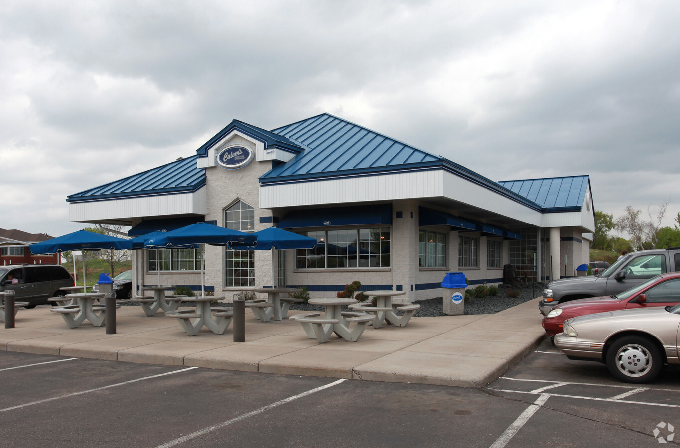
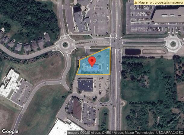
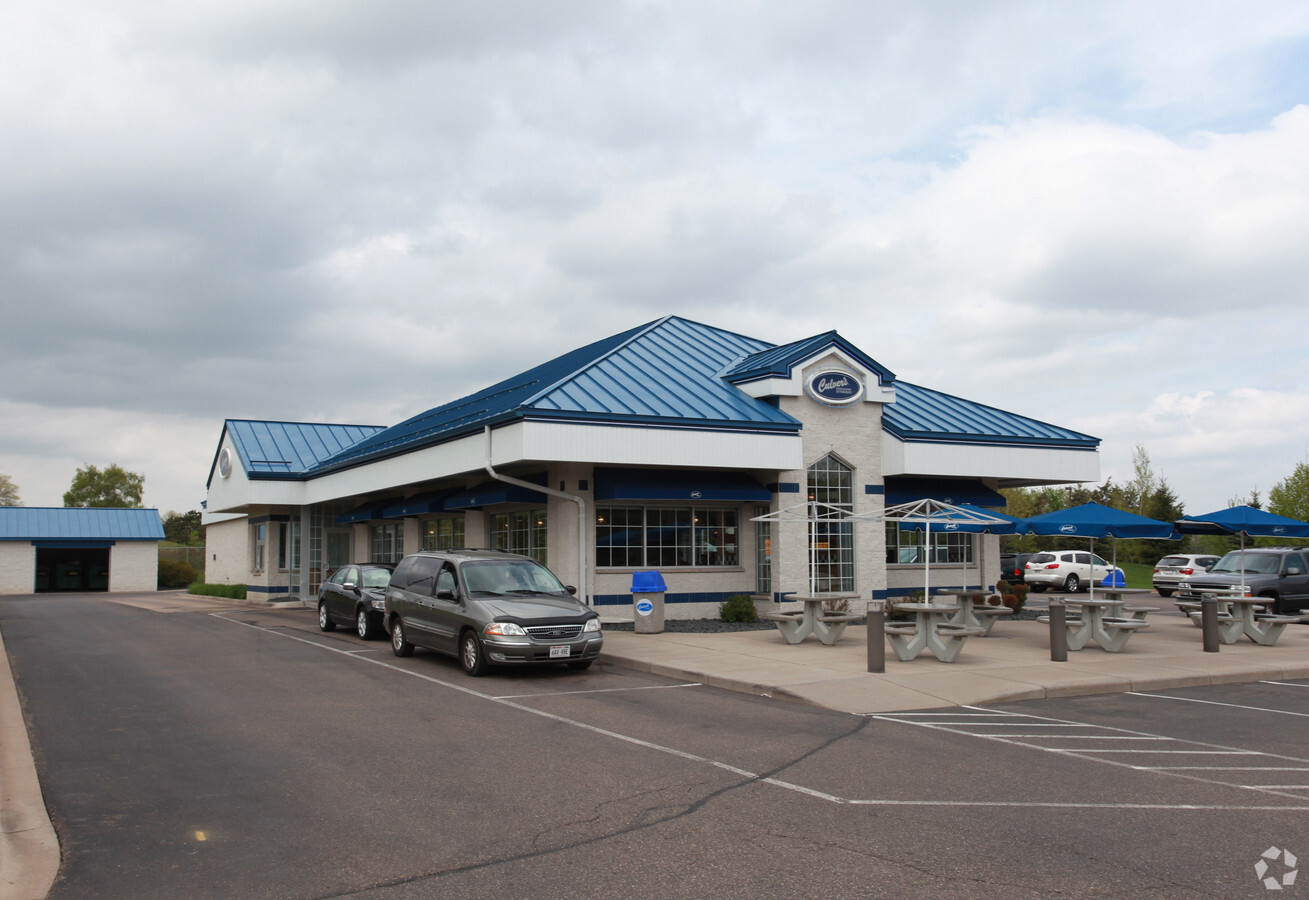
Property Record
151 Carmichael Rd, Hudson, WI 54016
NEARBY LISTINGS FOR SALE OR LEASE
Property Detail
151 Carmichael Rd
Minneapolis-St. Paul-Bloomington, MN-WI
Trople Play
236-0281-04-000
L1 CSM 17/4553
Commercialnec
St Croix
X
Wisconsin
55093C0025E
1
2023
1.28 AC
2023
St Croix County
120201
Minneapolis/St Paul
4,643 SF
DEMOGRAPHICS near 151 Carmichael Rd
1 Mile
3 Mile
5 Mile
2024 Total Population
5,138
26,066
41,161
2029 Population
5,549
28,077
44,439
Pop Growth 2024-2029
+ 8.00%
+ 7.72%
+ 7.96%
Average Age
42
42
42
2024 Total Households
2,079
10,560
16,122
HH Growth 2024-2029
+ 8.08%
+ 7.76%
+ 8.00%
Median Household Inc
$109,199
$102,896
$112,460
Avg Household Size
2.40
2.40
2.50
2024 Avg HH Vehicles
2.00
2.00
2.00
Median Home Value
$327,641
$348,059
$376,847
Median Year Built
2000
1993
1993
Nearby Places
- Restaurants
- Banks
- Shops
- Fitness
- Groceries
PUBLIC TRANSPORTATION
AIRPORT
Minneapolis-St Paul International/Wold-Chamberlain
DRIVE
WALK
Distance
Minneapolis-St Paul International/Wold-Chamberlain
38 min
28.4 mi
Freight Ports
Port Milwaukee
DRIVE
WALK
Distance
Port Milwaukee
341 min
310.9 mi
Nearby Properties
Address
Land Use
TOTAL SIZE
Lot Size
Zoning
Address
Land Use
TOTAL SIZE
Lot Size
Zoning
10.90 AC
Address
Land Use
TOTAL SIZE
Lot Size
Zoning
16.42 AC
Address
Land Use
TOTAL SIZE
Lot Size
Zoning
404,968 SF
29.93 AC
I-1
Address
Land Use
TOTAL SIZE
Lot Size
Zoning
255,000 SF
16.74 AC
I-1
Address
Land Use
TOTAL SIZE
Lot Size
Zoning
3.78 AC
Address
Land Use
TOTAL SIZE
Lot Size
Zoning
12,271 SF
8.56 AC
B-2
Address
Land Use
TOTAL SIZE
Lot Size
Zoning
124,739 SF
10.26 AC
B-2
Address
Land Use
TOTAL SIZE
Lot Size
Zoning
66,516 SF
5 AC
PRD-2
Address
Land Use
TOTAL SIZE
Lot Size
Zoning
100,892 SF
11.32 AC
I-1
Address
Land Use
TOTAL SIZE
Lot Size
Zoning
0.90 AC
Address
Land Use
TOTAL SIZE
Lot Size
Zoning
63,024 SF
4.70 AC
Address
Land Use
TOTAL SIZE
Lot Size
Zoning
20,845 SF
4.01 AC
B-2
Address
Land Use
TOTAL SIZE
Lot Size
Zoning
20,456 SF
13.93 AC
B-2
Address
Land Use
TOTAL SIZE
Lot Size
Zoning
43,342 SF
8.11 AC
B-2
Address
Land Use
TOTAL SIZE
Lot Size
Zoning
3,150 SF
6.68 AC
B-2
Address
Land Use
TOTAL SIZE
Lot Size
Zoning
92,971 SF
9.56 AC
B-2
Address
Land Use
TOTAL SIZE
Lot Size
Zoning
28,805 SF
1.67 AC
B-2
Address
Land Use
TOTAL SIZE
Lot Size
Zoning
12,612 SF
4 AC
RM-1
Address
Land Use
TOTAL SIZE
Lot Size
Zoning
86,279 SF
8.46 AC
B-2
Address
Land Use
TOTAL SIZE
Lot Size
Zoning
41,976 SF
2.43 AC
B-2
Address
Land Use
TOTAL SIZE
Lot Size
Zoning
580 SF
1.72 AC
B-2
Address
Land Use
TOTAL SIZE
Lot Size
Zoning
18,848 SF
4.41 AC
RM-1
Address
Land Use
TOTAL SIZE
Lot Size
Zoning
25,272 SF
3.60 AC
RM-1
Address
Land Use
TOTAL SIZE
Lot Size
Zoning
11,576 SF
3.86 AC
B-2
Address
Land Use
TOTAL SIZE
Lot Size
Zoning
55,072 SF
6.33 AC
B-2
Address
Land Use
TOTAL SIZE
Lot Size
Zoning
34,676 SF
2.96 AC
Address
Land Use
TOTAL SIZE
Lot Size
Zoning
18,160 SF
3.38 AC
OFC
Address
Land Use
TOTAL SIZE
Lot Size
Zoning
27,601 SF
3.21 AC
B-2
Address
Land Use
TOTAL SIZE
Lot Size
Zoning
23,955 SF
1.69 AC
B-2
Address
Land Use
TOTAL SIZE
Lot Size
Zoning
13,780 SF
1.62 AC
B-2
The World's #1 Commercial Real Estate Marketplace
Connect with us
© 2025 CoStar Group
The information above has been obtained from sources believed reliable. While we do not doubt its accuracy we have not verified it and make no guarantee, warranty or representation about it. It is your responsibility to independently confirm its accuracy and completeness. Any projections, opinions, assumptions, or estimates used are for example only and do not represent the current or future performance of the property. The value of this transaction to you depends on tax and other factors which should be evaluated by your tax, financial, and legal advisors. You and your advisors should conduct a careful, independent investigation of the property to determine to your satisfaction the suitability of the property for your needs.