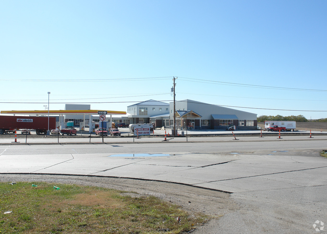
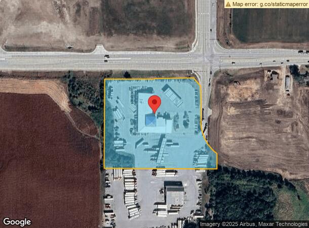
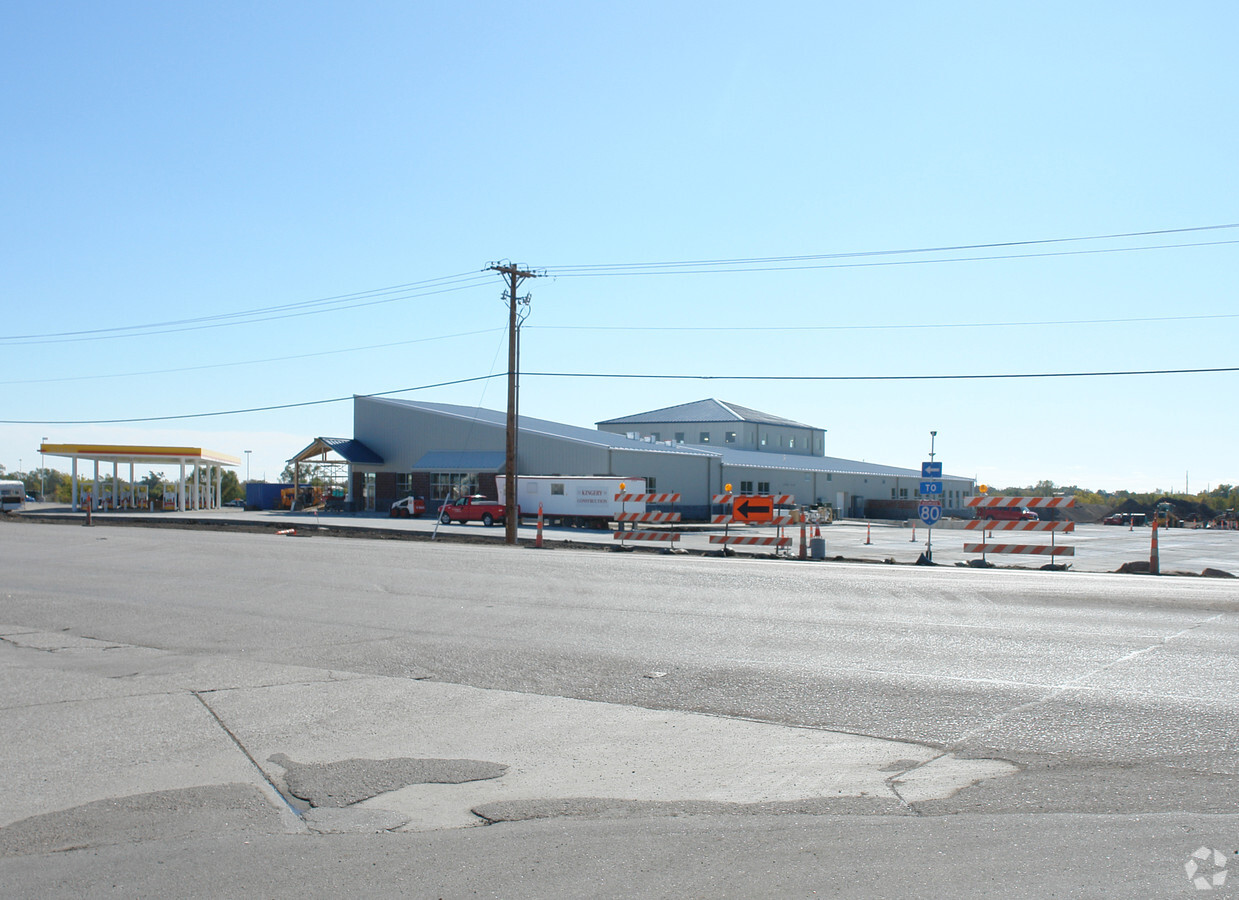
Property Record
151 Sw 48Th St, Lincoln, NE 68522

NEARBY LISTINGS FOR SALE OR LEASE
Property Detail
151 Sw 48Th St
Lincoln, NE
6Th Principal Meridian
10-30-100-009-000
S30, T10, R6, 6TH PRINCIPAL MERIDIAN, 7.52+- AC IN N PT LOT 59 NW
Commercialnec
Lancaster
X
Nebraska
31109C0285F
59
2023
7.13 AC
2023
West
003302
Lincoln
29,798 SF
DEMOGRAPHICS near 151 Sw 48Th St
1 Mile
3 Mile
5 Mile
2024 Total Population
65
22,925
67,909
2029 Population
66
23,738
70,432
Pop Growth 2024-2029
+ 1.54%
+ 3.55%
+ 3.72%
Average Age
39
35
34
2024 Total Households
23
7,819
25,990
HH Growth 2024-2029
0.00%
+ 3.77%
+ 4.12%
Median Household Inc
$107,500
$74,932
$51,260
Avg Household Size
2.70
2.70
2.40
2024 Avg HH Vehicles
3.00
2.00
2.00
Median Home Value
$330,000
$204,119
$195,614
Median Year Built
1997
1995
1982
Nearby Places
- Restaurants
- Banks
- Shops
- Fitness
- Groceries
PUBLIC TRANSPORTATION
COMMUTER RAIL
Lincoln Amtrak Station (California Zephyr - Amtrak)
DRIVE
WALK
Distance
Lincoln Amtrak Station (California Zephyr - Amtrak)
9 min
4.9 mi
AIRPORT
Lincoln
DRIVE
WALK
Distance
Lincoln
9 min
5.6 mi
Freight Ports
Tulsa Port Of Catoosa
DRIVE
WALK
Distance
Tulsa Port Of Catoosa
473 min
399.6 mi
Nearby Properties
Address
Land Use
TOTAL SIZE
Lot Size
Zoning
Address
Land Use
TOTAL SIZE
Lot Size
Zoning
301,402 SF
35.38 AC
H3
Address
Land Use
TOTAL SIZE
Lot Size
Zoning
27,398 SF
7.78 AC
R3
Address
Land Use
TOTAL SIZE
Lot Size
Zoning
26,584 SF
8 AC
R3
Address
Land Use
TOTAL SIZE
Lot Size
Zoning
33,730 SF
6.88 AC
NULL
Address
Land Use
TOTAL SIZE
Lot Size
Zoning
129,000 SF
0.89 AC
B4
Address
Land Use
TOTAL SIZE
Lot Size
Zoning
25,620 SF
6.87 AC
NULL
Address
Land Use
TOTAL SIZE
Lot Size
Zoning
158.44 AC
I1
Address
Land Use
TOTAL SIZE
Lot Size
Zoning
157.27 AC
I1
Address
Land Use
TOTAL SIZE
Lot Size
Zoning
133,138 SF
157.34 AC
I1
Address
Land Use
TOTAL SIZE
Lot Size
Zoning
81,135 SF
9.31 AC
B2
Address
Land Use
TOTAL SIZE
Lot Size
Zoning
30,555 SF
8.09 AC
NULL
Address
Land Use
TOTAL SIZE
Lot Size
Zoning
76.33 AC
AG
Address
Land Use
TOTAL SIZE
Lot Size
Zoning
132,888 SF
4.60 AC
I1
Address
Land Use
TOTAL SIZE
Lot Size
Zoning
40,162 SF
3.60 AC
NULL
Address
Land Use
TOTAL SIZE
Lot Size
Zoning
86,565 SF
6.72 AC
H4
Address
Land Use
TOTAL SIZE
Lot Size
Zoning
95.25 AC
P
Address
Land Use
TOTAL SIZE
Lot Size
Zoning
17,271 SF
456.24 AC
AG
Address
Land Use
TOTAL SIZE
Lot Size
Zoning
18,285 SF
10.68 AC
NULL
Address
Land Use
TOTAL SIZE
Lot Size
Zoning
55,384 SF
1.43 AC
B4
Address
Land Use
TOTAL SIZE
Lot Size
Zoning
129.97 AC
P
Address
Land Use
TOTAL SIZE
Lot Size
Zoning
10,796 SF
4 AC
NULL
Address
Land Use
TOTAL SIZE
Lot Size
Zoning
52,520 SF
27.99 AC
H4
Address
Land Use
TOTAL SIZE
Lot Size
Zoning
81.01 AC
R3
Address
Land Use
TOTAL SIZE
Lot Size
Zoning
71,895 SF
4.30 AC
I1
Address
Land Use
TOTAL SIZE
Lot Size
Zoning
135.89 AC
I1
Address
Land Use
TOTAL SIZE
Lot Size
Zoning
44,748 SF
13.56 AC
H4
Address
Land Use
TOTAL SIZE
Lot Size
Zoning
51,292 SF
11.05 AC
I2
Address
Land Use
TOTAL SIZE
Lot Size
Zoning
59,120 SF
4.46 AC
H3
Address
Land Use
TOTAL SIZE
Lot Size
Zoning
46,132 SF
5.11 AC
I1
Address
Land Use
TOTAL SIZE
Lot Size
Zoning
15,264 SF
0.27 AC
B2
The World's #1 Commercial Real Estate Marketplace
Connect with us
© 2025 CoStar Group
The information above has been obtained from sources believed reliable. While we do not doubt its accuracy we have not verified it and make no guarantee, warranty or representation about it. It is your responsibility to independently confirm its accuracy and completeness. Any projections, opinions, assumptions, or estimates used are for example only and do not represent the current or future performance of the property. The value of this transaction to you depends on tax and other factors which should be evaluated by your tax, financial, and legal advisors. You and your advisors should conduct a careful, independent investigation of the property to determine to your satisfaction the suitability of the property for your needs.