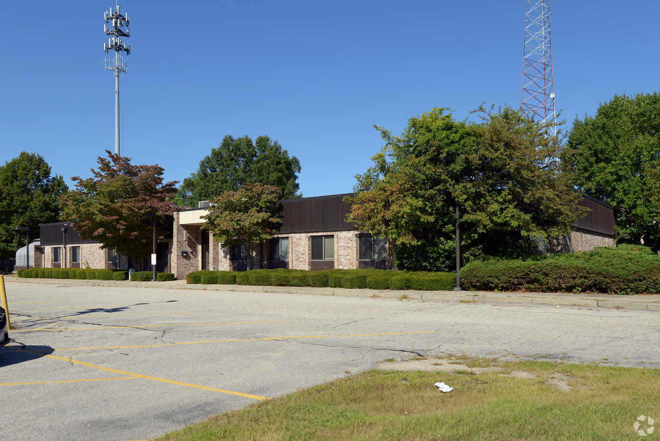
Property Record
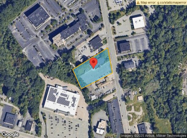
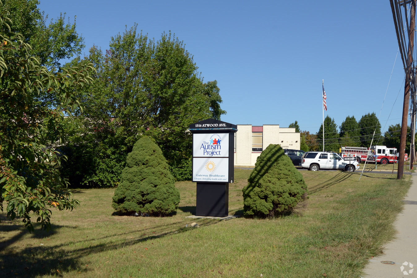
1516 Atwood Ave, Johnston, RI 02919
NEARBY LISTINGS FOR SALE OR LEASE
-
-
-
-
-
No Photo
-
-
-
View all Johnston listings for sale on LoopNet.com
Property Detail
1516 Atwood Ave
JOHN-000053-000000-000214
Providence
Stateproperty
Rhode Island
X
214
44007C0284H
2.02 AC
0
Johnston
2024
Providence
0124014018
Providence-Warwick, RI-MA
8,008 SF
DEMOGRAPHICS near 1516 Atwood Ave
1 Mile
3 Mile
5 Mile
2024 Total Population
5,243
91,340
274,082
2029 Population
5,306
90,632
272,013
Pop Growth 2024-2029
+ 1.20%
(0.78%)
(0.75%)
Average Age
45
39
39
2024 Total Households
2,112
34,925
106,939
HH Growth 2024-2029
+ 1.14%
(0.77%)
(0.66%)
Median Household Inc
$86,981
$66,764
$65,046
Avg Household Size
2.40
2.50
2.40
2024 Avg HH Vehicles
2.00
2.00
2.00
Median Home Value
$278,943
$281,389
$299,455
Median Year Built
1972
1960
1957
Nearby Places
- Restaurants
- Banks
- Shops
- Fitness
- Groceries
PUBLIC TRANSPORTATION
COMMUTER RAIL
Providence (Providence/Stoughton Line - Massachusetts Bay Transportation Authority Commuter Rail (Purple Line))
DRIVE
WALK
Distance
Providence (Providence/Stoughton Line - Massachusetts Bay Transportation Authority Commuter Rail (Purple Line))
9 min
5.8 mi
Pawtucket/Central Falls (Foxboro Event Service - MBTA, Providence/Stoughton Line - MBTA)
DRIVE
WALK
Distance
Pawtucket/Central Falls (Foxboro Event Service - MBTA, Providence/Stoughton Line - MBTA)
15 min
8.7 mi
AIRPORT
Rhode Island Tf Green International
DRIVE
WALK
Distance
Rhode Island Tf Green International
22 min
12.9 mi
Freight Ports
Port of Davisville, RI
DRIVE
WALK
Distance
Port of Davisville, RI
33 min
22.1 mi
Nearby Properties
Address
Land Use
TOTAL SIZE
Lot Size
Zoning
Address
Land Use
TOTAL SIZE
Lot Size
Zoning
254,488 SF
17.50 AC
IS
Address
Land Use
TOTAL SIZE
Lot Size
Zoning
26.08 AC
PS
Address
Land Use
TOTAL SIZE
Lot Size
Zoning
123.25 AC
R40
Address
Land Use
TOTAL SIZE
Lot Size
Zoning
28.92 AC
PS
Address
Land Use
TOTAL SIZE
Lot Size
Zoning
9.06 AC
PS
Address
Land Use
TOTAL SIZE
Lot Size
Zoning
93.51 AC
PUD
Address
Land Use
TOTAL SIZE
Lot Size
Zoning
301,035 SF
21.69 AC
15
Address
Land Use
TOTAL SIZE
Lot Size
Zoning
4,954 SF
11.22 AC
C5
Address
Land Use
TOTAL SIZE
Lot Size
Zoning
1,792 SF
28.46 AC
Address
Land Use
TOTAL SIZE
Lot Size
Zoning
136,906 SF
4.96 AC
PS
Address
Land Use
TOTAL SIZE
Lot Size
Zoning
333,161 SF
25.85 AC
B1
Address
Land Use
TOTAL SIZE
Lot Size
Zoning
32.30 AC
I
Address
Land Use
TOTAL SIZE
Lot Size
Zoning
13,542 SF
95.26 AC
R10
Address
Land Use
TOTAL SIZE
Lot Size
Zoning
15.35 AC
MPD
Address
Land Use
TOTAL SIZE
Lot Size
Zoning
11.43 AC
I-2
Address
Land Use
TOTAL SIZE
Lot Size
Zoning
63.33 AC
OS
Address
Land Use
TOTAL SIZE
Lot Size
Zoning
30.14 AC
R40
Address
Land Use
TOTAL SIZE
Lot Size
Zoning
15.57 AC
M-MU-7
Address
Land Use
TOTAL SIZE
Lot Size
Zoning
69.31 AC
OS
Address
Land Use
TOTAL SIZE
Lot Size
Zoning
5.54 AC
R-4
Address
Land Use
TOTAL SIZE
Lot Size
Zoning
185,010 SF
7.75 AC
MG
Address
Land Use
TOTAL SIZE
Lot Size
Zoning
38.09 AC
CD
Address
Land Use
TOTAL SIZE
Lot Size
Zoning
1 AC
R40
Address
Land Use
TOTAL SIZE
Lot Size
Zoning
48.58 AC
I-2
Address
Land Use
TOTAL SIZE
Lot Size
Zoning
10.76 AC
R-4
Address
Land Use
TOTAL SIZE
Lot Size
Zoning
135,476 SF
10.30 AC
MG
Address
Land Use
TOTAL SIZE
Lot Size
Zoning
7.06 AC
R20
Address
Land Use
TOTAL SIZE
Lot Size
Zoning
96.12 AC
I
Address
Land Use
TOTAL SIZE
Lot Size
Zoning
122,836 SF
15.10 AC
R40
Address
Land Use
TOTAL SIZE
Lot Size
Zoning
84,049 SF
2.23 AC
PS
The World's #1 Commercial Real Estate Marketplace
Connect with us
© 2025 CoStar Group
The information above has been obtained from sources believed reliable. While we do not doubt its accuracy we have not verified it and make no guarantee, warranty or representation about it. It is your responsibility to independently confirm its accuracy and completeness. Any projections, opinions, assumptions, or estimates used are for example only and do not represent the current or future performance of the property. The value of this transaction to you depends on tax and other factors which should be evaluated by your tax, financial, and legal advisors. You and your advisors should conduct a careful, independent investigation of the property to determine to your satisfaction the suitability of the property for your needs.