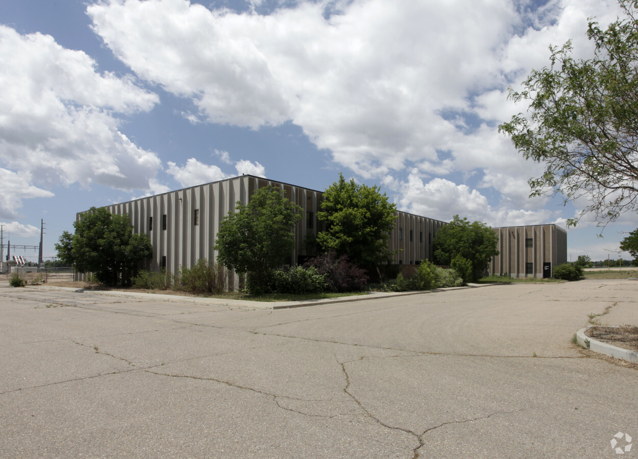
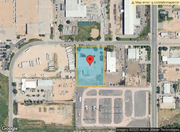
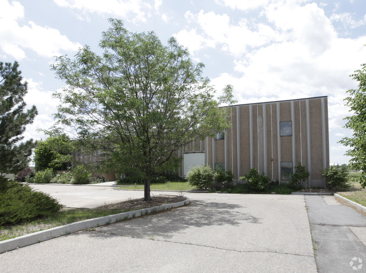
Property Record
152 30Th St, Greeley, CO 80631

NEARBY LISTINGS FOR SALE OR LEASE
Property Detail
152 30Th St
Greeley, CO
Greeley Commerce Center
R0155890
GR GCC-TC4 PT TRACT C GREELEY COMMERCE CENTER COM AT CENTER OF SEC 20 5 65 N89D48E 1251.98 N0D11W 102.43 TO SW COR TRACT C THENCE N0D11W 582.09 THENCE ALONG ARC OF CURVE TO RIGHT RADIUS IS 270 CHORD BEARS N44D39E 380.89 N89D31E 349.30 TO TRUE POB N89
Industrialgeneral
Weld
X
Colorado
08123C1543F
c
2023
2.62 AC
2024
Weld County
001004
Denver
24,141 SF
DEMOGRAPHICS near 152 30Th St
1 Mile
3 Mile
5 Mile
2024 Total Population
8,017
70,181
126,520
2029 Population
9,363
82,443
148,983
Pop Growth 2024-2029
+ 16.79%
+ 17.47%
+ 17.75%
Average Age
32
34
36
2024 Total Households
2,774
24,454
44,628
HH Growth 2024-2029
+ 16.69%
+ 18.35%
+ 18.50%
Median Household Inc
$53,821
$53,624
$57,714
Avg Household Size
2.80
2.70
2.70
2024 Avg HH Vehicles
2.00
2.00
2.00
Median Home Value
$269,230
$301,533
$319,056
Median Year Built
1986
1976
1981
Nearby Places
- Restaurants
- Banks
- Shops
- Fitness
- Groceries
Nearby Properties
Address
Land Use
TOTAL SIZE
Lot Size
Zoning
Address
Land Use
TOTAL SIZE
Lot Size
Zoning
1,710,791 SF
134.62 AC
Address
Land Use
TOTAL SIZE
Lot Size
Zoning
1,136,284 SF
23.26 AC
Address
Land Use
TOTAL SIZE
Lot Size
Zoning
689,580 SF
65.15 AC
Address
Land Use
TOTAL SIZE
Lot Size
Zoning
237,575 SF
10.77 AC
Address
Land Use
TOTAL SIZE
Lot Size
Zoning
538,842 SF
33.91 AC
Address
Land Use
TOTAL SIZE
Lot Size
Zoning
150,693 SF
20 AC
Address
Land Use
TOTAL SIZE
Lot Size
Zoning
700,277 SF
16.35 AC
Address
Land Use
TOTAL SIZE
Lot Size
Zoning
219,178 SF
22.28 AC
Address
Land Use
TOTAL SIZE
Lot Size
Zoning
63,960 SF
3.67 AC
Address
Land Use
TOTAL SIZE
Lot Size
Zoning
127,822 SF
1.38 AC
Address
Land Use
TOTAL SIZE
Lot Size
Zoning
309,821 SF
13.55 AC
Address
Land Use
TOTAL SIZE
Lot Size
Zoning
132,968 SF
1.24 AC
Address
Land Use
TOTAL SIZE
Lot Size
Zoning
202,130 SF
25.35 AC
Address
Land Use
TOTAL SIZE
Lot Size
Zoning
82,759 SF
2.05 AC
Address
Land Use
TOTAL SIZE
Lot Size
Zoning
198,845 SF
16.02 AC
Address
Land Use
TOTAL SIZE
Lot Size
Zoning
73,311 SF
5.11 AC
Address
Land Use
TOTAL SIZE
Lot Size
Zoning
132,547 SF
27.73 AC
Address
Land Use
TOTAL SIZE
Lot Size
Zoning
78.18 AC
Address
Land Use
TOTAL SIZE
Lot Size
Zoning
73,945 SF
3.21 AC
Address
Land Use
TOTAL SIZE
Lot Size
Zoning
144,758 SF
18.99 AC
Address
Land Use
TOTAL SIZE
Lot Size
Zoning
72,400 SF
19.55 AC
Address
Land Use
TOTAL SIZE
Lot Size
Zoning
122,748 SF
4.13 AC
Address
Land Use
TOTAL SIZE
Lot Size
Zoning
128,054 SF
Address
Land Use
TOTAL SIZE
Lot Size
Zoning
69,526 SF
7.40 AC
Address
Land Use
TOTAL SIZE
Lot Size
Zoning
60,672 SF
10 AC
Address
Land Use
TOTAL SIZE
Lot Size
Zoning
227,794 SF
1.65 AC
Address
Land Use
TOTAL SIZE
Lot Size
Zoning
207,744 SF
7.72 AC
Address
Land Use
TOTAL SIZE
Lot Size
Zoning
45,473 SF
3.68 AC
Address
Land Use
TOTAL SIZE
Lot Size
Zoning
47,243 SF
9.70 AC
Address
Land Use
TOTAL SIZE
Lot Size
Zoning
43,168 SF
4.99 AC
The World's #1 Commercial Real Estate Marketplace
Connect with us
© 2025 CoStar Group
The information above has been obtained from sources believed reliable. While we do not doubt its accuracy we have not verified it and make no guarantee, warranty or representation about it. It is your responsibility to independently confirm its accuracy and completeness. Any projections, opinions, assumptions, or estimates used are for example only and do not represent the current or future performance of the property. The value of this transaction to you depends on tax and other factors which should be evaluated by your tax, financial, and legal advisors. You and your advisors should conduct a careful, independent investigation of the property to determine to your satisfaction the suitability of the property for your needs.