Property Record
1529 N Davis Ave, Ottawa, KS 66067

NEARBY LISTINGS FOR SALE OR LEASE
Property Detail
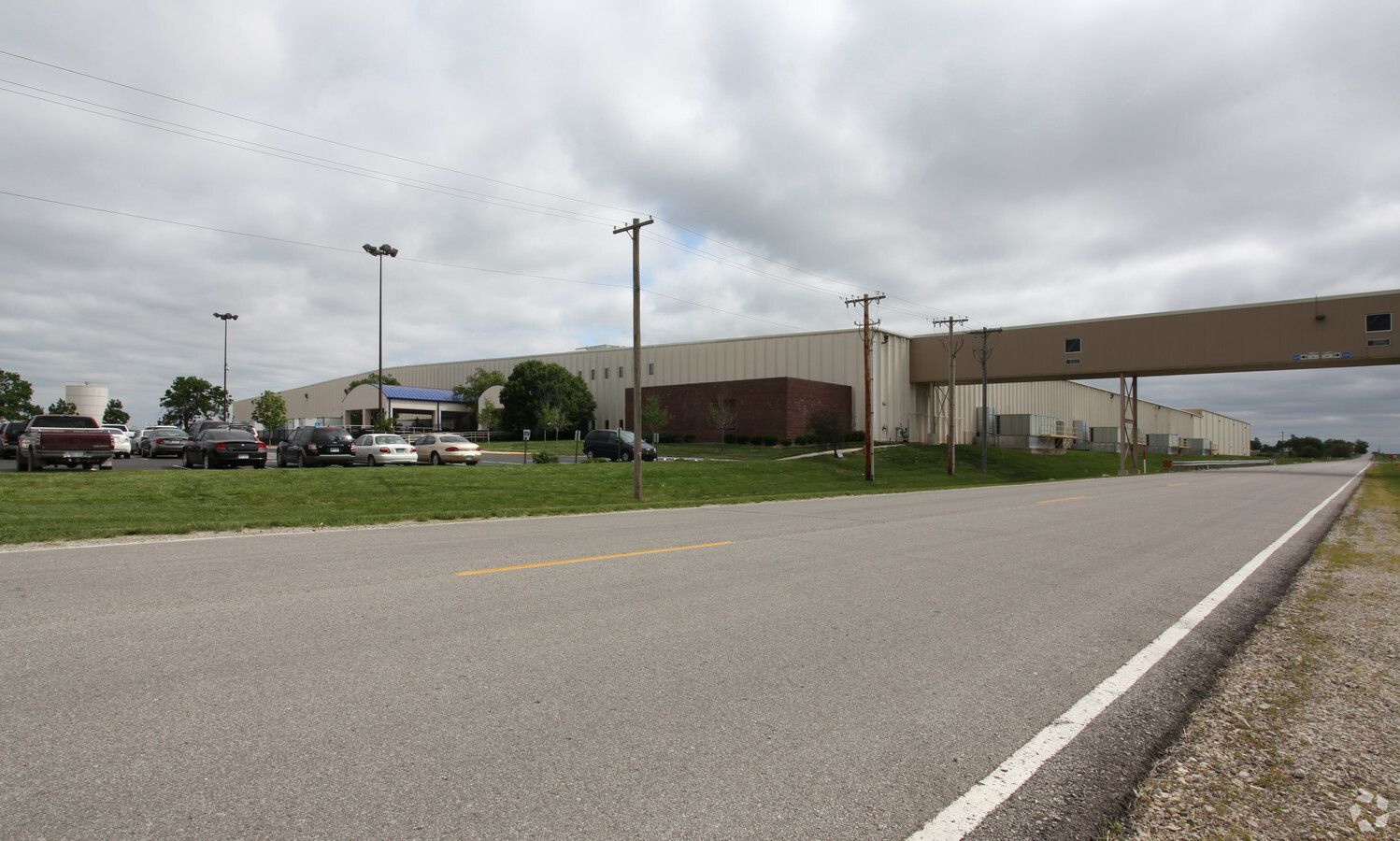
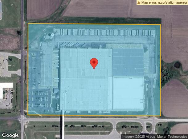
1529 N Davis Ave
Ottawa, KS
Retail Distribution West #2
094-19-0-30-01-002.00-0
RETAIL DISTRIBUTION WEST #2, S19, T16, R20E, BLOCK 1, LOT 1, ACRES 27.3, SECTION 19 TOWNSHIP 16 RANGE 20E
Officebuilding
Franklin
X
Kansas
20059C0090E
1
0
26.93 AC
2024
Ottawa
9542001140
Kansas City
285,548 SF
DEMOGRAPHICS near 1529 N Davis Ave
1 Mile
3 Mile
5 Mile
2024 Total Population
1,214
9,876
14,578
2029 Population
1,231
10,012
14,746
Pop Growth 2024-2029
+ 1.40%
+ 1.38%
+ 1.15%
Average Age
40
39
39
2024 Total Households
494
3,956
5,844
HH Growth 2024-2029
+ 1.21%
+ 1.34%
+ 1.15%
Median Household Inc
$64,323
$60,264
$61,121
Avg Household Size
2.40
2.40
2.40
2024 Avg HH Vehicles
2.00
2.00
2.00
Median Home Value
$99,314
$137,665
$151,756
Median Year Built
1982
1962
1969
Nearby Places
- Restaurants
- Banks
- Shops
- Fitness
- Groceries
Nearby Properties
Address
Land Use
TOTAL SIZE
Lot Size
Zoning
Address
Land Use
TOTAL SIZE
Lot Size
Zoning
35,262 SF
33.20 AC
R
Address
Land Use
TOTAL SIZE
Lot Size
Zoning
63,811 SF
17.60 AC
MH
Address
Land Use
TOTAL SIZE
Lot Size
Zoning
1,124,676 SF
208.76 AC
I1SX
Address
Land Use
TOTAL SIZE
Lot Size
Zoning
52,556 SF
26.31 AC
C2
Address
Land Use
TOTAL SIZE
Lot Size
Zoning
79,735 SF
3.20 AC
C3
Address
Land Use
TOTAL SIZE
Lot Size
Zoning
50,753 SF
7.30 AC
R
Address
Land Use
TOTAL SIZE
Lot Size
Zoning
17,373 SF
82.20 AC
I1
Address
Land Use
TOTAL SIZE
Lot Size
Zoning
18,000 SF
5.04 AC
RS
Address
Land Use
TOTAL SIZE
Lot Size
Zoning
15,895 SF
1.06 AC
R1
Address
Land Use
TOTAL SIZE
Lot Size
Zoning
21,707 SF
1.12 AC
C3
Address
Land Use
TOTAL SIZE
Lot Size
Zoning
31,788 SF
1.55 AC
C3
Address
Land Use
TOTAL SIZE
Lot Size
Zoning
90,000 SF
41.40 AC
I2
Address
Land Use
TOTAL SIZE
Lot Size
Zoning
Address
Land Use
TOTAL SIZE
Lot Size
Zoning
27,933 SF
0.69 AC
C3
Address
Land Use
TOTAL SIZE
Lot Size
Zoning
18,978 SF
2.17 AC
R
Address
Land Use
TOTAL SIZE
Lot Size
Zoning
11,456 SF
10.05 AC
RE
Address
Land Use
TOTAL SIZE
Lot Size
Zoning
32.37 AC
R1
Address
Land Use
TOTAL SIZE
Lot Size
Zoning
13,901 SF
0.95 AC
C1
Address
Land Use
TOTAL SIZE
Lot Size
Zoning
15,000 SF
11.91 AC
RS
Address
Land Use
TOTAL SIZE
Lot Size
Zoning
58,274 SF
6.94 AC
C2
Address
Land Use
TOTAL SIZE
Lot Size
Zoning
12,000 SF
0.34 AC
R2
Address
Land Use
TOTAL SIZE
Lot Size
Zoning
12,000 SF
0.47 AC
C3
Address
Land Use
TOTAL SIZE
Lot Size
Zoning
24,496 SF
0.34 AC
C3
Address
Land Use
TOTAL SIZE
Lot Size
Zoning
8,020 SF
22 AC
I1
Address
Land Use
TOTAL SIZE
Lot Size
Zoning
8,985 SF
0.61 AC
R1
Address
Land Use
TOTAL SIZE
Lot Size
Zoning
27,466 SF
3.46 AC
R1
Address
Land Use
TOTAL SIZE
Lot Size
Zoning
7,080 SF
1.64 AC
R1
Address
Land Use
TOTAL SIZE
Lot Size
Zoning
2,925 SF
0.35 AC
R2
Address
Land Use
TOTAL SIZE
Lot Size
Zoning
14,056 SF
1.47 AC
R2
The World's #1 Commercial Real Estate Marketplace
Connect with us
© 2025 CoStar Group
The information above has been obtained from sources believed reliable. While we do not doubt its accuracy we have not verified it and make no guarantee, warranty or representation about it. It is your responsibility to independently confirm its accuracy and completeness. Any projections, opinions, assumptions, or estimates used are for example only and do not represent the current or future performance of the property. The value of this transaction to you depends on tax and other factors which should be evaluated by your tax, financial, and legal advisors. You and your advisors should conduct a careful, independent investigation of the property to determine to your satisfaction the suitability of the property for your needs.