Property Record
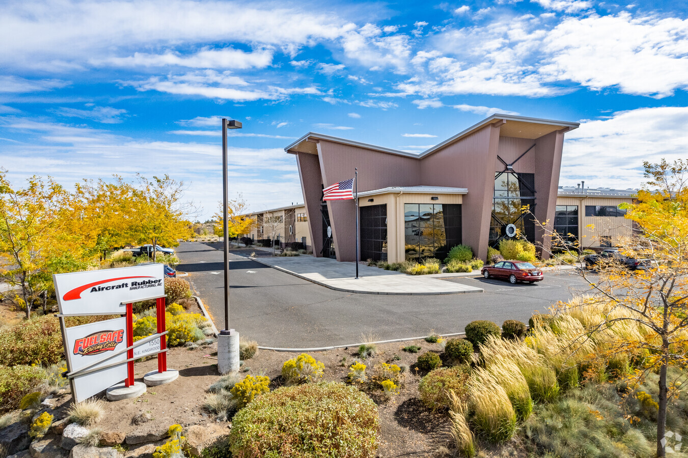
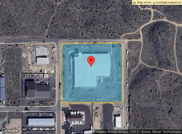
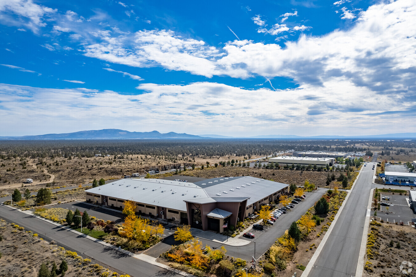
1550 Ne Kingwood Ave, Redmond, OR 97756
NEARBY LISTINGS FOR SALE OR LEASE
Property Detail
1550 Ne Kingwood Ave
Bend-Redmond, OR
Desert Rise Industrial Park Phase 1
254434
DESERT RISE INDUSTRIAL PARK PHASE 1 LOT 1
Stateproperty
Deschutes
X
Oregon
41017C0325E
1
2024
7.28 AC
2024
Deschutes County
000902
Portland
92,000 SF
DEMOGRAPHICS near 1550 Ne Kingwood Ave
1 Mile
3 Mile
5 Mile
2024 Total Population
1,926
25,108
40,873
2029 Population
2,125
28,066
45,802
Pop Growth 2024-2029
+ 10.33%
+ 11.78%
+ 12.06%
Average Age
38
39
40
2024 Total Households
686
9,554
15,597
HH Growth 2024-2029
+ 10.50%
+ 11.92%
+ 12.21%
Median Household Inc
$59,466
$68,164
$72,543
Avg Household Size
2.80
2.60
2.60
2024 Avg HH Vehicles
2.00
2.00
2.00
Median Home Value
$368,181
$406,870
$422,375
Median Year Built
2003
2000
2000
Nearby Places
- Restaurants
- Banks
- Shops
- Fitness
- Groceries
PUBLIC TRANSPORTATION
AIRPORT
Roberts Field
DRIVE
WALK
Distance
Roberts Field
8 min
3.8 mi
Freight Ports
Port of Portland
DRIVE
WALK
Distance
Port of Portland
215 min
147.9 mi
SALE & LEASE HISTORY
LISTING DATE
SALE/LEASE

Dec 15, 2020
For Lease
Nearby Properties
Address
Land Use
TOTAL SIZE
Lot Size
Zoning
Address
Land Use
TOTAL SIZE
Lot Size
Zoning
1 SF
22.43 AC
M1
Address
Land Use
TOTAL SIZE
Lot Size
Zoning
22.43 AC
M1
Address
Land Use
TOTAL SIZE
Lot Size
Zoning
4,045 SF
10.95 AC
R5
Address
Land Use
TOTAL SIZE
Lot Size
Zoning
207,480 SF
28.78 AC
PF
Address
Land Use
TOTAL SIZE
Lot Size
Zoning
682.50 AC
AIRPORT
Address
Land Use
TOTAL SIZE
Lot Size
Zoning
217,211 SF
23.83 AC
C1
Address
Land Use
TOTAL SIZE
Lot Size
Zoning
106,239 SF
13.84 AC
PF
Address
Land Use
TOTAL SIZE
Lot Size
Zoning
106,239 SF
13.84 AC
PF
Address
Land Use
TOTAL SIZE
Lot Size
Zoning
165,971 SF
11.96 AC
C2
Address
Land Use
TOTAL SIZE
Lot Size
Zoning
102,711 SF
11.23 AC
M2
Address
Land Use
TOTAL SIZE
Lot Size
Zoning
85,512 SF
4.10 AC
R4
Address
Land Use
TOTAL SIZE
Lot Size
Zoning
80,000 SF
18.93 AC
PF
Address
Land Use
TOTAL SIZE
Lot Size
Zoning
78,071 SF
13.13 AC
M1
Address
Land Use
TOTAL SIZE
Lot Size
Zoning
30,000 SF
16.01 AC
M1
Address
Land Use
TOTAL SIZE
Lot Size
Zoning
16.01 AC
M1
Address
Land Use
TOTAL SIZE
Lot Size
Zoning
16.01 AC
M1
Address
Land Use
TOTAL SIZE
Lot Size
Zoning
37,618 SF
24.38 AC
PF-L
Address
Land Use
TOTAL SIZE
Lot Size
Zoning
35,943 SF
13.78 AC
Address
Land Use
TOTAL SIZE
Lot Size
Zoning
4,500 SF
562.44 AC
AIRPORT
Address
Land Use
TOTAL SIZE
Lot Size
Zoning
3,280 SF
562.44 AC
AIRPORT
Address
Land Use
TOTAL SIZE
Lot Size
Zoning
8,028 SF
562.44 AC
AIRPORT
Address
Land Use
TOTAL SIZE
Lot Size
Zoning
4,800 SF
562.44 AC
AIRPORT
Address
Land Use
TOTAL SIZE
Lot Size
Zoning
4,125 SF
562.44 AC
AIRPORT
Address
Land Use
TOTAL SIZE
Lot Size
Zoning
4,125 SF
562.44 AC
AIRPORT
Address
Land Use
TOTAL SIZE
Lot Size
Zoning
1,584 SF
562.44 AC
AIRPORT
Address
Land Use
TOTAL SIZE
Lot Size
Zoning
8,540 SF
562.44 AC
AIRPORT
Address
Land Use
TOTAL SIZE
Lot Size
Zoning
4,550 SF
562.44 AC
AIRPORT
Address
Land Use
TOTAL SIZE
Lot Size
Zoning
562.44 AC
AIRPORT
Address
Land Use
TOTAL SIZE
Lot Size
Zoning
3,038 SF
562.44 AC
AIRPORT
Address
Land Use
TOTAL SIZE
Lot Size
Zoning
7,945 SF
562.44 AC
AIRPORT
The World's #1 Commercial Real Estate Marketplace
Connect with us
© 2025 CoStar Group
The information above has been obtained from sources believed reliable. While we do not doubt its accuracy we have not verified it and make no guarantee, warranty or representation about it. It is your responsibility to independently confirm its accuracy and completeness. Any projections, opinions, assumptions, or estimates used are for example only and do not represent the current or future performance of the property. The value of this transaction to you depends on tax and other factors which should be evaluated by your tax, financial, and legal advisors. You and your advisors should conduct a careful, independent investigation of the property to determine to your satisfaction the suitability of the property for your needs.