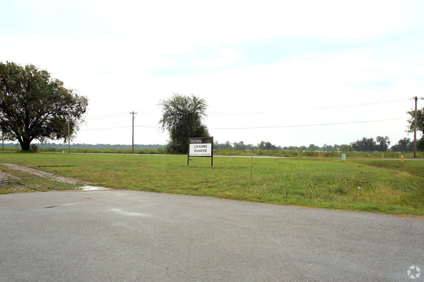
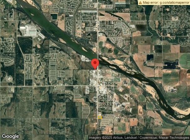
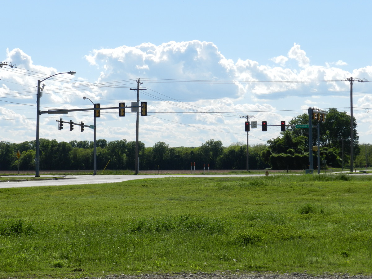
Property Record
15911 S Memorial Dr E, Bixby, OK 74008

NEARBY LISTINGS FOR SALE OR LEASE
Property Detail
15911 S Memorial Dr E
Tulsa, OK
Unplatted
97324-73-24-28730
PRT SW SW BEG 524.93E SWC SW TH N24.75 NW67.23 W262.79 W105.20 N307.93 E518.14 S360.32 W TO POB SEC 24 17 13 3.831ACS
Commercialacreage
Tulsa
X
Oklahoma
40143C0445L
3.83 AC
2023
South
2024
Tulsa
007803
DEMOGRAPHICS near 15911 S Memorial Dr E
1 Mile
3 Mile
5 Mile
2024 Total Population
3,098
12,597
42,470
2029 Population
3,289
13,347
44,497
Pop Growth 2024-2029
+ 6.17%
+ 5.95%
+ 4.77%
Average Age
36
37
38
2024 Total Households
1,153
4,479
15,127
HH Growth 2024-2029
+ 6.16%
+ 5.92%
+ 4.66%
Median Household Inc
$59,807
$80,693
$96,999
Avg Household Size
2.70
2.80
2.80
2024 Avg HH Vehicles
2.00
2.00
2.00
Median Home Value
$231,836
$257,583
$294,099
Median Year Built
1988
2002
2001
Nearby Places
- Restaurants
- Banks
- Shops
- Fitness
- Groceries
PUBLIC TRANSPORTATION
AIRPORT
Tulsa International
DRIVE
WALK
Distance
Tulsa International
34 min
22.5 mi
Freight Ports
Tulsa Port Of Catoosa
DRIVE
WALK
Distance
Tulsa Port Of Catoosa
36 min
26.3 mi
SALE & LEASE HISTORY
LISTING DATE
SALE/LEASE

Sep 24, 2016
For Sale
Nearby Properties
Address
Land Use
TOTAL SIZE
Lot Size
Zoning
Address
Land Use
TOTAL SIZE
Lot Size
Zoning
10,265 SF
56.52 AC
RS2
Address
Land Use
TOTAL SIZE
Lot Size
Zoning
2,372,132 SF
147.83 AC
AG
Address
Land Use
TOTAL SIZE
Lot Size
Zoning
27,256 SF
31.19 AC
CS
Address
Land Use
TOTAL SIZE
Lot Size
Zoning
219,987 SF
6.97 AC
RM3
Address
Land Use
TOTAL SIZE
Lot Size
Zoning
219,987 SF
10.06 AC
CS
Address
Land Use
TOTAL SIZE
Lot Size
Zoning
30,000 SF
5.06 AC
Address
Land Use
TOTAL SIZE
Lot Size
Zoning
31,798 SF
4.42 AC
AG
Address
Land Use
TOTAL SIZE
Lot Size
Zoning
30,000 SF
5.13 AC
CS
Address
Land Use
TOTAL SIZE
Lot Size
Zoning
51,200 SF
16.76 AC
AG
Address
Land Use
TOTAL SIZE
Lot Size
Zoning
22,140 SF
75.39 AC
AG
Address
Land Use
TOTAL SIZE
Lot Size
Zoning
17,776 SF
0.75 AC
CH
Address
Land Use
TOTAL SIZE
Lot Size
Zoning
243,504 SF
13.97 AC
RM3
Address
Land Use
TOTAL SIZE
Lot Size
Zoning
26,530 SF
0.81 AC
IL
Address
Land Use
TOTAL SIZE
Lot Size
Zoning
23,375 SF
5.91 AC
CS
Address
Land Use
TOTAL SIZE
Lot Size
Zoning
37,009 SF
4.18 AC
RS1
Address
Land Use
TOTAL SIZE
Lot Size
Zoning
36,312 SF
3.50 AC
CG
Address
Land Use
TOTAL SIZE
Lot Size
Zoning
24,750 SF
80 AC
AG
Address
Land Use
TOTAL SIZE
Lot Size
Zoning
12,156 SF
1.76 AC
CS
Address
Land Use
TOTAL SIZE
Lot Size
Zoning
8,912 SF
1.44 AC
CG
Address
Land Use
TOTAL SIZE
Lot Size
Zoning
13,535 SF
37.94 AC
AG
Address
Land Use
TOTAL SIZE
Lot Size
Zoning
13,870 SF
9.49 AC
RS3
Address
Land Use
TOTAL SIZE
Lot Size
Zoning
30,000 SF
20.13 AC
CS
Address
Land Use
TOTAL SIZE
Lot Size
Zoning
9,870 SF
2.48 AC
RS1
Address
Land Use
TOTAL SIZE
Lot Size
Zoning
10,086 SF
0.82 AC
CH
Address
Land Use
TOTAL SIZE
Lot Size
Zoning
7,526 SF
0.45 AC
RS1
Address
Land Use
TOTAL SIZE
Lot Size
Zoning
1,468 SF
15.66 AC
CG
Address
Land Use
TOTAL SIZE
Lot Size
Zoning
36,954 SF
4.01 AC
RM3
Address
Land Use
TOTAL SIZE
Lot Size
Zoning
74,069 SF
3.29 AC
CG
Address
Land Use
TOTAL SIZE
Lot Size
Zoning
2,160 SF
10 AC
AG
Address
Land Use
TOTAL SIZE
Lot Size
Zoning
99,507 SF
11.64 AC
CG
The World's #1 Commercial Real Estate Marketplace
Connect with us
© 2025 CoStar Group
The information above has been obtained from sources believed reliable. While we do not doubt its accuracy we have not verified it and make no guarantee, warranty or representation about it. It is your responsibility to independently confirm its accuracy and completeness. Any projections, opinions, assumptions, or estimates used are for example only and do not represent the current or future performance of the property. The value of this transaction to you depends on tax and other factors which should be evaluated by your tax, financial, and legal advisors. You and your advisors should conduct a careful, independent investigation of the property to determine to your satisfaction the suitability of the property for your needs.