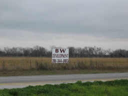
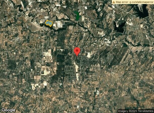
Property Record
16 S State Highway 16 Ave, San Antonio, TX 78264
NEARBY LISTINGS FOR SALE OR LEASE
Property Detail
16 S State Highway 16 Ave
San Antonio-New Braunfels, TX
Conv A/S Code
04297-000-0075
CB 4297 P-7 ABS 13 (SOUTHSIDE STUDY AREA 3 ANNEXATION) ORDINANCE# 2007-101605/ADD TU21
Privatepreserveopenspacevacantlandforestlandconservation
Bexar
A
Texas
48029C0565F
75
2023
430.82 AC
2023
South
152100
San Antonio
DEMOGRAPHICS near 16 S State Highway 16 Ave
1 Mile
3 Mile
5 Mile
2024 Total Population
1,445
5,427
28,357
2029 Population
1,702
6,183
30,792
Pop Growth 2024-2029
+ 17.79%
+ 13.93%
+ 8.59%
Average Age
36
34
35
2024 Total Households
471
1,659
8,340
HH Growth 2024-2029
+ 17.83%
+ 14.47%
+ 8.86%
Median Household Inc
$74,540
$65,779
$52,683
Avg Household Size
3.10
3.20
3.30
2024 Avg HH Vehicles
3.00
2.00
2.00
Median Home Value
$295,069
$241,435
$158,010
Median Year Built
2010
2010
1995
Nearby Places
- Restaurants
- Banks
- Shops
- Fitness
- Groceries
PUBLIC TRANSPORTATION
AIRPORT
San Antonio International
DRIVE
WALK
Distance
San Antonio International
41 min
26.5 mi
Freight Ports
Port of Corpus Christi
DRIVE
WALK
Distance
Port of Corpus Christi
138 min
127.8 mi
Nearby Properties
Address
Land Use
TOTAL SIZE
Lot Size
Zoning
Address
Land Use
TOTAL SIZE
Lot Size
Zoning
5,753,521 SF
709.61 AC
Address
Land Use
TOTAL SIZE
Lot Size
Zoning
300.90 AC
Address
Land Use
TOTAL SIZE
Lot Size
Zoning
500.22 AC
Address
Land Use
TOTAL SIZE
Lot Size
Zoning
271.41 AC
Address
Land Use
TOTAL SIZE
Lot Size
Zoning
246.25 AC
Address
Land Use
TOTAL SIZE
Lot Size
Zoning
368 SF
10.78 AC
Address
Land Use
TOTAL SIZE
Lot Size
Zoning
29,400 SF
1.38 AC
Address
Land Use
TOTAL SIZE
Lot Size
Zoning
179.87 AC
Address
Land Use
TOTAL SIZE
Lot Size
Zoning
143.57 AC
Address
Land Use
TOTAL SIZE
Lot Size
Zoning
8,296 SF
10 AC
Address
Land Use
TOTAL SIZE
Lot Size
Zoning
720 SF
48.47 AC
Address
Land Use
TOTAL SIZE
Lot Size
Zoning
23,132 SF
7.14 AC
Address
Land Use
TOTAL SIZE
Lot Size
Zoning
9,034 SF
1.23 AC
Address
Land Use
TOTAL SIZE
Lot Size
Zoning
115.75 AC
Address
Land Use
TOTAL SIZE
Lot Size
Zoning
Address
Land Use
TOTAL SIZE
Lot Size
Zoning
3,280 SF
186.35 AC
Address
Land Use
TOTAL SIZE
Lot Size
Zoning
322,050 SF
7.87 AC
Address
Land Use
TOTAL SIZE
Lot Size
Zoning
Address
Land Use
TOTAL SIZE
Lot Size
Zoning
34,626 SF
0.60 AC
Address
Land Use
TOTAL SIZE
Lot Size
Zoning
151.60 AC
Address
Land Use
TOTAL SIZE
Lot Size
Zoning
Address
Land Use
TOTAL SIZE
Lot Size
Zoning
1,696 SF
149.02 AC
Address
Land Use
TOTAL SIZE
Lot Size
Zoning
9.91 AC
Address
Land Use
TOTAL SIZE
Lot Size
Zoning
24.78 AC
Address
Land Use
TOTAL SIZE
Lot Size
Zoning
6,350 SF
5.05 AC
Address
Land Use
TOTAL SIZE
Lot Size
Zoning
5,780 SF
1.36 AC
Address
Land Use
TOTAL SIZE
Lot Size
Zoning
2,322 SF
0.29 AC
Address
Land Use
TOTAL SIZE
Lot Size
Zoning
1,238 SF
3.29 AC
Address
Land Use
TOTAL SIZE
Lot Size
Zoning
27.93 AC
Address
Land Use
TOTAL SIZE
Lot Size
Zoning
1,606 SF
4.12 AC
The World's #1 Commercial Real Estate Marketplace
Connect with us
© 2025 CoStar Group
The information above has been obtained from sources believed reliable. While we do not doubt its accuracy we have not verified it and make no guarantee, warranty or representation about it. It is your responsibility to independently confirm its accuracy and completeness. Any projections, opinions, assumptions, or estimates used are for example only and do not represent the current or future performance of the property. The value of this transaction to you depends on tax and other factors which should be evaluated by your tax, financial, and legal advisors. You and your advisors should conduct a careful, independent investigation of the property to determine to your satisfaction the suitability of the property for your needs.