Property Record
16090 Swingley Ridge Rd, Chesterfield, MO 63017
Current Lease Availabilities
NEARBY LISTINGS FOR SALE OR LEASE
Property Detail
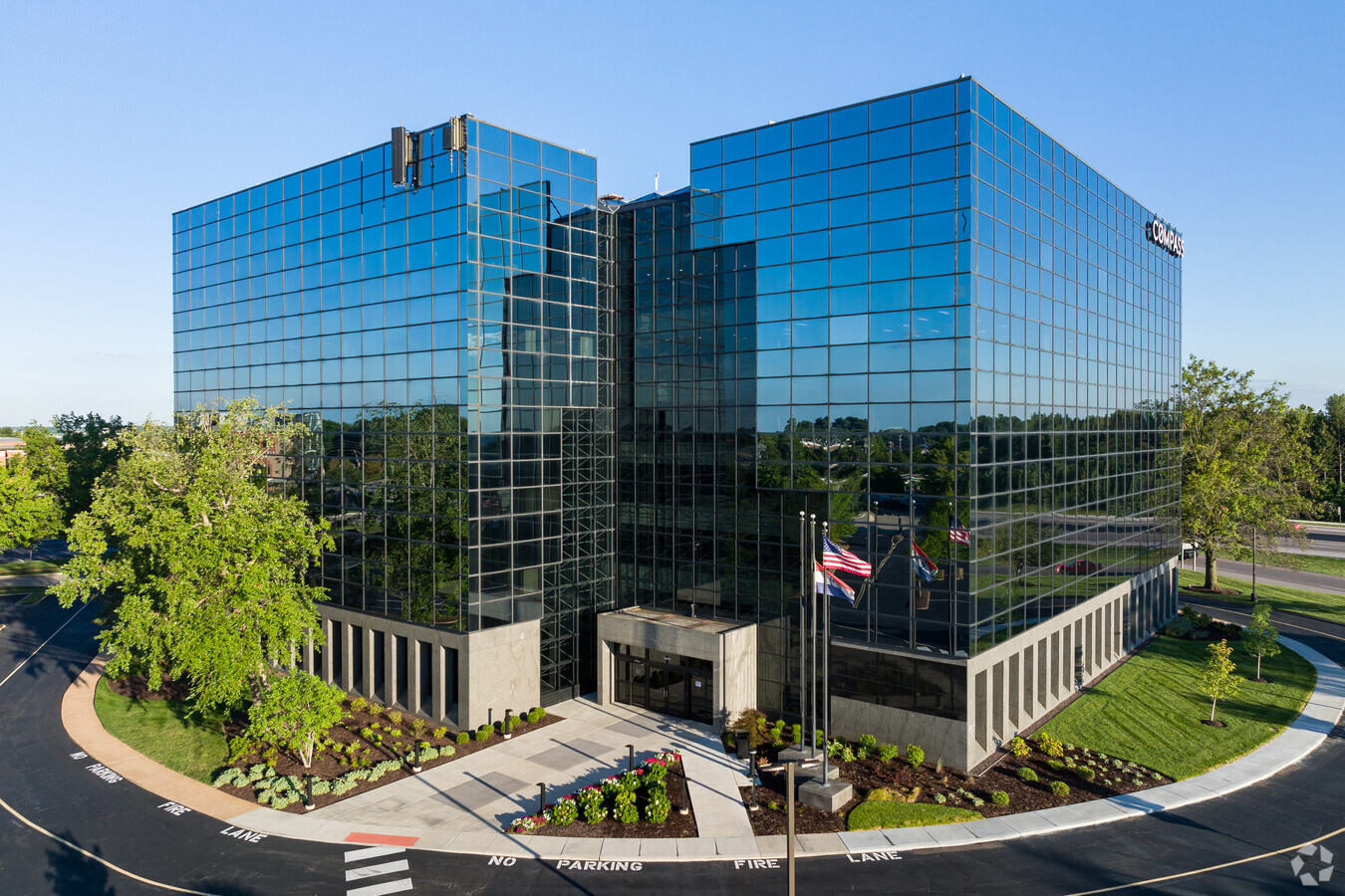
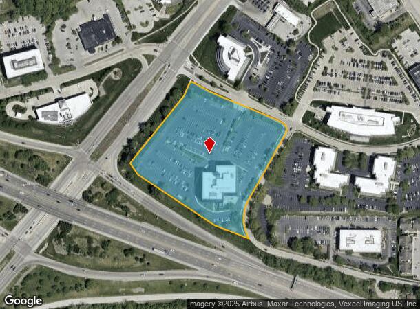
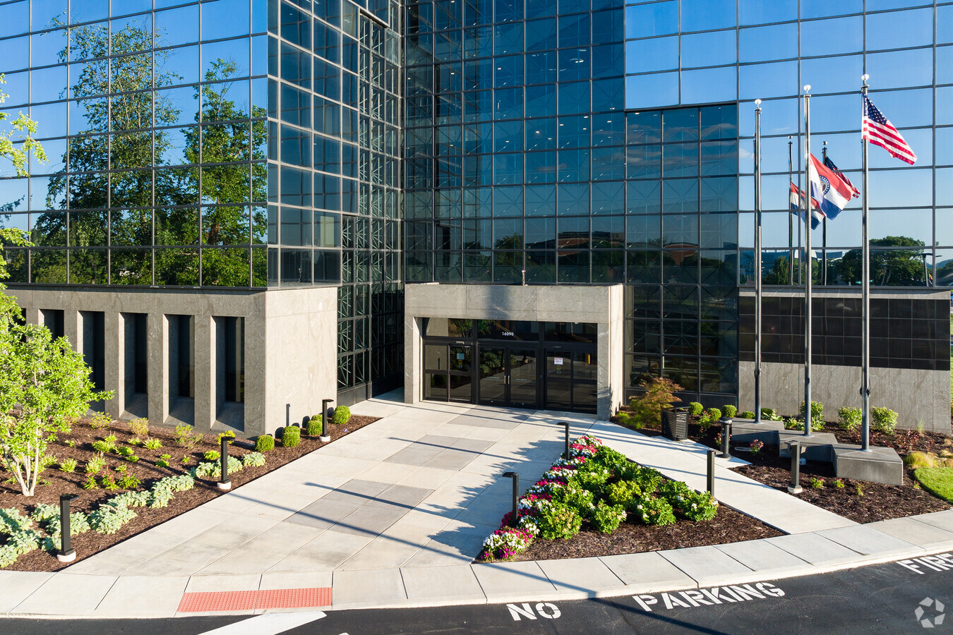
16090 Swingley Ridge Rd
St. Louis, MO-IL
Herman Stemme Office Park
18S-24-0179
HERMAN STEMME OFFICE PARK 4 3 80 LOT 1
Officebuilding
St. Louis
X
Missouri
29183C0470G
1
2023
6 AC
2023
Chesterfield/Hwy-40
215235
St. Louis
105,744 SF
DEMOGRAPHICS near 16090 Swingley Ridge Rd
1 Mile
3 Mile
5 Mile
2024 Total Population
8,156
46,264
112,592
2029 Population
8,085
45,341
110,666
Pop Growth 2024-2029
(0.87%)
(2.00%)
(1.71%)
Average Age
46
45
44
2024 Total Households
3,773
18,475
43,905
HH Growth 2024-2029
(0.74%)
(1.96%)
(1.76%)
Median Household Inc
$106,694
$131,464
$122,217
Avg Household Size
2.10
2.40
2.50
2024 Avg HH Vehicles
2.00
2.00
2.00
Median Home Value
$349,889
$430,887
$387,847
Median Year Built
1982
1981
1978
Nearby Places
- Restaurants
- Banks
- Shops
- Fitness
- Groceries
PUBLIC TRANSPORTATION
AIRPORT
St Louis Lambert International
DRIVE
WALK
Distance
St Louis Lambert International
30 min
18.1 mi
Freight Ports
Tulsa Port of Inola
DRIVE
WALK
Distance
Tulsa Port of Inola
412 min
368.1 mi
Nearby Properties
Address
Land Use
TOTAL SIZE
Lot Size
Zoning
Address
Land Use
TOTAL SIZE
Lot Size
Zoning
43,574 SF
55.62 AC
NU
Address
Land Use
TOTAL SIZE
Lot Size
Zoning
200,372 SF
121.45 AC
105FPNU
Address
Land Use
TOTAL SIZE
Lot Size
Zoning
1,298,224 SF
194.08 AC
C-8
Address
Land Use
TOTAL SIZE
Lot Size
Zoning
157,315 SF
41.71 AC
105C8
Address
Land Use
TOTAL SIZE
Lot Size
Zoning
462,876 SF
12.89 AC
105R8
Address
Land Use
TOTAL SIZE
Lot Size
Zoning
587,809 SF
36.69 AC
105NU
Address
Land Use
TOTAL SIZE
Lot Size
Zoning
352,152 SF
31.79 AC
105C8
Address
Land Use
TOTAL SIZE
Lot Size
Zoning
269,687 SF
38.30 AC
105C8
Address
Land Use
TOTAL SIZE
Lot Size
Zoning
420,140 SF
16.49 AC
105C8
Address
Land Use
TOTAL SIZE
Lot Size
Zoning
2,100 SF
122.40 AC
NU
Address
Land Use
TOTAL SIZE
Lot Size
Zoning
247,860 SF
21.11 AC
105MU
Address
Land Use
TOTAL SIZE
Lot Size
Zoning
340,320 SF
55.62 AC
NU
Address
Land Use
TOTAL SIZE
Lot Size
Zoning
200,840 SF
12.29 AC
105C8
Address
Land Use
TOTAL SIZE
Lot Size
Zoning
70.42 AC
87A
Address
Land Use
TOTAL SIZE
Lot Size
Zoning
302,420 SF
13.97 AC
NU
Address
Land Use
TOTAL SIZE
Lot Size
Zoning
363,584 SF
48.15 AC
FPNU
Address
Land Use
TOTAL SIZE
Lot Size
Zoning
65.15 AC
105NU
Address
Land Use
TOTAL SIZE
Lot Size
Zoning
218,130 SF
7.30 AC
105PC&R
Address
Land Use
TOTAL SIZE
Lot Size
Zoning
60,928 SF
102.43 AC
NU
Address
Land Use
TOTAL SIZE
Lot Size
Zoning
146,175 SF
1.41 AC
83POP
Address
Land Use
TOTAL SIZE
Lot Size
Zoning
42,037 SF
193.91 AC
NU
Address
Land Use
TOTAL SIZE
Lot Size
Zoning
158,326 SF
9.26 AC
83POP
Address
Land Use
TOTAL SIZE
Lot Size
Zoning
242,380 SF
12.60 AC
105PC&R
Address
Land Use
TOTAL SIZE
Lot Size
Zoning
344,386 SF
41.26 AC
R2
Address
Land Use
TOTAL SIZE
Lot Size
Zoning
182,939 SF
3.80 AC
105PC
Address
Land Use
TOTAL SIZE
Lot Size
Zoning
108,384 SF
6.05 AC
105PC
Address
Land Use
TOTAL SIZE
Lot Size
Zoning
2,164 SF
22.98 AC
105PS
Address
Land Use
TOTAL SIZE
Lot Size
Zoning
359,937 SF
26.91 AC
R4
Address
Land Use
TOTAL SIZE
Lot Size
Zoning
285,752 SF
23.98 AC
105PC
Address
Land Use
TOTAL SIZE
Lot Size
Zoning
153,316 SF
6.44 AC
105PC
The World's #1 Commercial Real Estate Marketplace
Connect with us
© 2025 CoStar Group
The information above has been obtained from sources believed reliable. While we do not doubt its accuracy we have not verified it and make no guarantee, warranty or representation about it. It is your responsibility to independently confirm its accuracy and completeness. Any projections, opinions, assumptions, or estimates used are for example only and do not represent the current or future performance of the property. The value of this transaction to you depends on tax and other factors which should be evaluated by your tax, financial, and legal advisors. You and your advisors should conduct a careful, independent investigation of the property to determine to your satisfaction the suitability of the property for your needs.