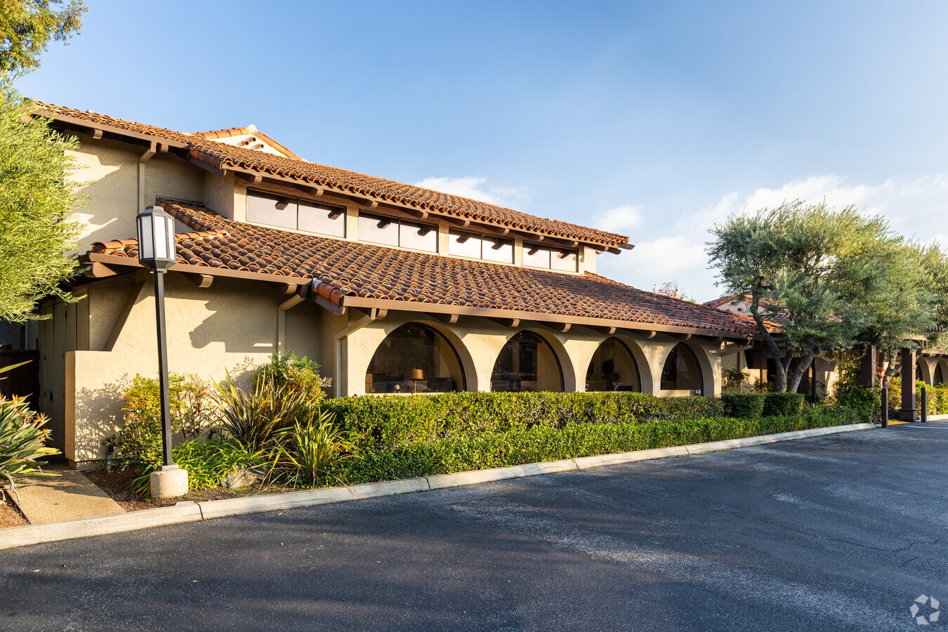
Property Record
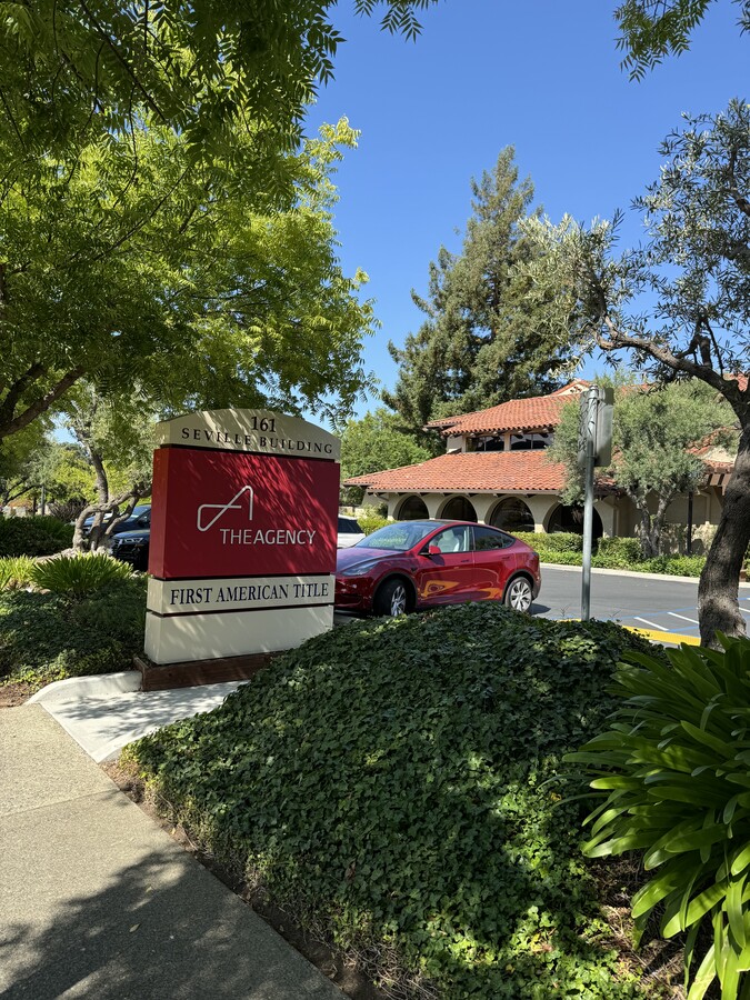
161 S San Antonio Rd, Los Altos, CA 94022


Current Lease Availabilities
NEARBY LISTINGS FOR SALE OR LEASE
Property Detail
161 S San Antonio Rd
170-42-028
LOT B
Financialbuilding
Santa Clara
X
California
06085C0038H
b
2023
0.89 AC
2023
Los Altos
510300
South Bay/San Jose
13,247 SF
San Jose-Sunnyvale-Santa Clara, CA
DEMOGRAPHICS near 161 S San Antonio Rd
1 Mile
3 Mile
5 Mile
2024 Total Population
12,363
132,191
281,231
2029 Population
11,922
128,726
273,214
Pop Growth 2024-2029
(3.57%)
(2.62%)
(2.85%)
Average Age
45
41
40
2024 Total Households
4,378
52,113
104,675
HH Growth 2024-2029
(3.84%)
(2.73%)
(2.94%)
Median Household Inc
$235,290
$194,161
$187,916
Avg Household Size
2.70
2.50
2.50
2024 Avg HH Vehicles
2.00
2.00
2.00
Median Home Value
$1,145,673
$1,137,844
$1,138,169
Median Year Built
1963
1970
1970
Nearby Places
- Restaurants
- Banks
- Shops
- Fitness
- Groceries
PUBLIC TRANSPORTATION
COMMUTER RAIL
San Antonio (Caltrain - Caltrain (Caltrain))
Drive
Walk
Distance
San Antonio (Caltrain - Caltrain (Caltrain))
4 min
2.1 mi
Mountain View (Caltrain - Caltrain (Caltrain))
Drive
Walk
Distance
Mountain View (Caltrain - Caltrain (Caltrain))
9 min
3.3 mi
AIRPORT
Norman Y Mineta San Jose International
Drive
Walk
Distance
Norman Y Mineta San Jose International
21 min
12.4 mi
San Francisco International
Drive
Walk
Distance
San Francisco International
35 min
25.7 mi
Metro Oakland International
Drive
Walk
Distance
Metro Oakland International
48 min
34.5 mi
Freight Ports
Port of Redwood City
Drive
Walk
Distance
Port of Redwood City
20 min
12.6 mi
Nearby Properties
Address
Land Use
TOTAL SIZE
Lot Size
Zoning
Address
Land Use
TOTAL SIZE
Lot Size
Zoning
42.28 AC
PF
Address
Land Use
TOTAL SIZE
Lot Size
Zoning
499360
31.95 AC
MM40
Address
Land Use
TOTAL SIZE
Lot Size
Zoning
450575
3.73 AC
P(9)
Address
Land Use
TOTAL SIZE
Lot Size
Zoning
78277
16.30 AC
RP
Address
Land Use
TOTAL SIZE
Lot Size
Zoning
595000
7.42 AC
P(34)
Address
Land Use
TOTAL SIZE
Lot Size
Zoning
19671
5.25 AC
P(40)
Address
Land Use
TOTAL SIZE
Lot Size
Zoning
675100
52.78 AC
RP5
Address
Land Use
TOTAL SIZE
Lot Size
Zoning
233124
9.18 AC
P(7)
Address
Land Use
TOTAL SIZE
Lot Size
Zoning
89237
5.51 AC
P(9)
Address
Land Use
TOTAL SIZE
Lot Size
Zoning
458842
26.64 AC
RP5
Address
Land Use
TOTAL SIZE
Lot Size
Zoning
114809
3.94 AC
P18
Address
Land Use
TOTAL SIZE
Lot Size
Zoning
266088
16.20 AC
P(29)
Address
Land Use
TOTAL SIZE
Lot Size
Zoning
4.71 AC
P
Address
Land Use
TOTAL SIZE
Lot Size
Zoning
111443
7.15 AC
ML
Address
Land Use
TOTAL SIZE
Lot Size
Zoning
224086
10.80 AC
R3-1.
Address
Land Use
TOTAL SIZE
Lot Size
Zoning
110384
10.17 AC
RP
Address
Land Use
TOTAL SIZE
Lot Size
Zoning
516963
36.46 AC
RP
Address
Land Use
TOTAL SIZE
Lot Size
Zoning
129678
7.17 AC
LMS
Address
Land Use
TOTAL SIZE
Lot Size
Zoning
58222
3.92 AC
P
Address
Land Use
TOTAL SIZE
Lot Size
Zoning
96579
1.21 AC
P(19)
Address
Land Use
TOTAL SIZE
Lot Size
Zoning
111443
1.81 AC
ML
Address
Land Use
TOTAL SIZE
Lot Size
Zoning
61473
2.28 AC
P(38)
Address
Land Use
TOTAL SIZE
Lot Size
Zoning
2.90 AC
P(17)
Address
Land Use
TOTAL SIZE
Lot Size
Zoning
161432
13.72 AC
RP
Address
Land Use
TOTAL SIZE
Lot Size
Zoning
521754
46.72 AC
RP
Address
Land Use
TOTAL SIZE
Lot Size
Zoning
35926
6.50 AC
RP5
Address
Land Use
TOTAL SIZE
Lot Size
Zoning
233098
2.91 AC
APD
Address
Land Use
TOTAL SIZE
Lot Size
Zoning
207857
16.34 AC
RP-5D
Address
Land Use
TOTAL SIZE
Lot Size
Zoning
210375
2.62 AC
P38
Address
Land Use
TOTAL SIZE
Lot Size
Zoning
8400
3.46 AC
P(7)
Start a new search to find other properties for sale or lease
Connect with us
© 2024 CoStar Group
The information above has been obtained from sources believed reliable. While we do not doubt its accuracy we have not verified it and make no guarantee, warranty or representation about it. It is your responsibility to independently confirm its accuracy and completeness. Any projections, opinions, assumptions, or estimates used are for example only and do not represent the current or future performance of the property. The value of this transaction to you depends on tax and other factors which should be evaluated by your tax, financial, and legal advisors. You and your advisors should conduct a careful, independent investigation of the property to determine to your satisfaction the suitability of the property for your needs.