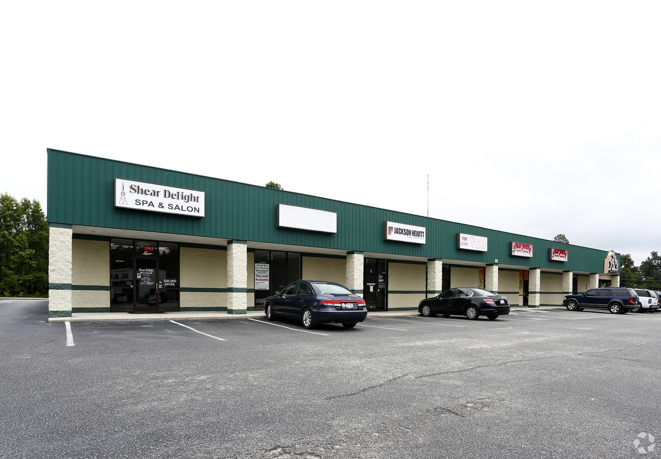
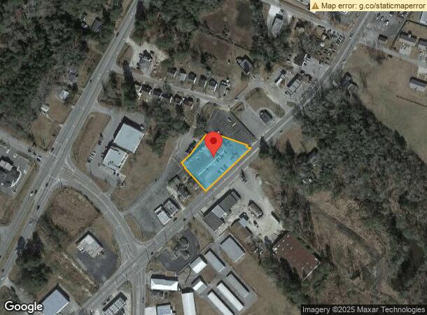
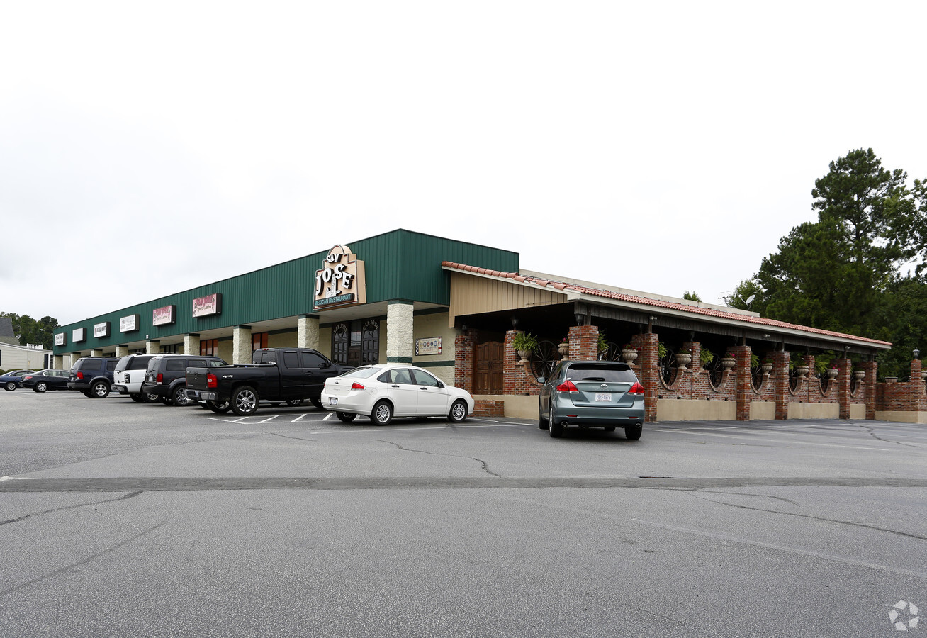
Property Record
1620 S Madison St, Whiteville, NC 28472
NEARBY LISTINGS FOR SALE OR LEASE
-
-
View all Whiteville listings for sale on LoopNet.com
Property Detail
1620 S Madison St
0002398
RD 1917 #1
Officebuilding
Columbus
2024
North Carolina
2024
1.03 AC
9310003014
North Carolina Southeast Area
11,690 SF
Other Market Areas
DEMOGRAPHICS near 1620 S Madison St
1 Mile
3 Mile
5 Mile
2024 Total Population
1,006
8,340
12,407
2029 Population
986
8,272
12,247
Pop Growth 2024-2029
(1.99%)
(0.82%)
(1.29%)
Average Age
43
43
43
2024 Total Households
356
3,461
5,113
HH Growth 2024-2029
(1.97%)
(0.64%)
(1.15%)
Median Household Inc
$38,046
$35,809
$37,641
Avg Household Size
2.20
2.20
2.20
2024 Avg HH Vehicles
2.00
2.00
2.00
Median Home Value
$124,409
$126,562
$129,580
Median Year Built
1976
1975
1976
Nearby Places
- Restaurants
- Banks
- Shops
- Fitness
- Groceries
Nearby Properties
Address
Land Use
TOTAL SIZE
Lot Size
Zoning
Address
Land Use
TOTAL SIZE
Lot Size
Zoning
40,780 SF
29.66 AC
Address
Land Use
TOTAL SIZE
Lot Size
Zoning
93,230 SF
22.53 AC
Address
Land Use
TOTAL SIZE
Lot Size
Zoning
1,820 SF
2.02 AC
Address
Land Use
TOTAL SIZE
Lot Size
Zoning
21,560 SF
1.38 AC
Address
Land Use
TOTAL SIZE
Lot Size
Zoning
96,950 SF
6.93 AC
Address
Land Use
TOTAL SIZE
Lot Size
Zoning
63,338 SF
16.46 AC
Address
Land Use
TOTAL SIZE
Lot Size
Zoning
64,022 SF
11.19 AC
Address
Land Use
TOTAL SIZE
Lot Size
Zoning
86,000 SF
3.01 AC
Address
Land Use
TOTAL SIZE
Lot Size
Zoning
18,148 SF
Address
Land Use
TOTAL SIZE
Lot Size
Zoning
42,984 SF
5.80 AC
Address
Land Use
TOTAL SIZE
Lot Size
Zoning
50,148 SF
5.83 AC
Address
Land Use
TOTAL SIZE
Lot Size
Zoning
12,766 SF
2.12 AC
Address
Land Use
TOTAL SIZE
Lot Size
Zoning
67,291 SF
6.95 AC
Address
Land Use
TOTAL SIZE
Lot Size
Zoning
127,142 SF
13.08 AC
Address
Land Use
TOTAL SIZE
Lot Size
Zoning
Address
Land Use
TOTAL SIZE
Lot Size
Zoning
70,581 SF
7.43 AC
Address
Land Use
TOTAL SIZE
Lot Size
Zoning
1,263 SF
5.76 AC
Address
Land Use
TOTAL SIZE
Lot Size
Zoning
1,263 SF
5.53 AC
Address
Land Use
TOTAL SIZE
Lot Size
Zoning
64,598 SF
8.95 AC
Address
Land Use
TOTAL SIZE
Lot Size
Zoning
45,447 SF
3.95 AC
Address
Land Use
TOTAL SIZE
Lot Size
Zoning
19,820 SF
Address
Land Use
TOTAL SIZE
Lot Size
Zoning
4,184 SF
4.11 AC
Address
Land Use
TOTAL SIZE
Lot Size
Zoning
30,464 SF
1.95 AC
Address
Land Use
TOTAL SIZE
Lot Size
Zoning
25,720 SF
2.75 AC
Address
Land Use
TOTAL SIZE
Lot Size
Zoning
63,305 SF
4.70 AC
Address
Land Use
TOTAL SIZE
Lot Size
Zoning
14,406 SF
1.70 AC
Address
Land Use
TOTAL SIZE
Lot Size
Zoning
33,386 SF
10.40 AC
Address
Land Use
TOTAL SIZE
Lot Size
Zoning
103,128 SF
2.71 AC
Address
Land Use
TOTAL SIZE
Lot Size
Zoning
2,120 SF
8.52 AC
Address
Land Use
TOTAL SIZE
Lot Size
Zoning
3,840 SF
13.66 AC
The World's #1 Commercial Real Estate Marketplace
Connect with us
© 2025 CoStar Group
The information above has been obtained from sources believed reliable. While we do not doubt its accuracy we have not verified it and make no guarantee, warranty or representation about it. It is your responsibility to independently confirm its accuracy and completeness. Any projections, opinions, assumptions, or estimates used are for example only and do not represent the current or future performance of the property. The value of this transaction to you depends on tax and other factors which should be evaluated by your tax, financial, and legal advisors. You and your advisors should conduct a careful, independent investigation of the property to determine to your satisfaction the suitability of the property for your needs.