Property Record
1627 Us Highway 1, Sebastian, FL 32958


NEARBY LISTINGS FOR SALE OR LEASE
Property Detail
1627 Us Highway 1
30-38-21-00001-9999-00033.1
Plat Of Wauregan
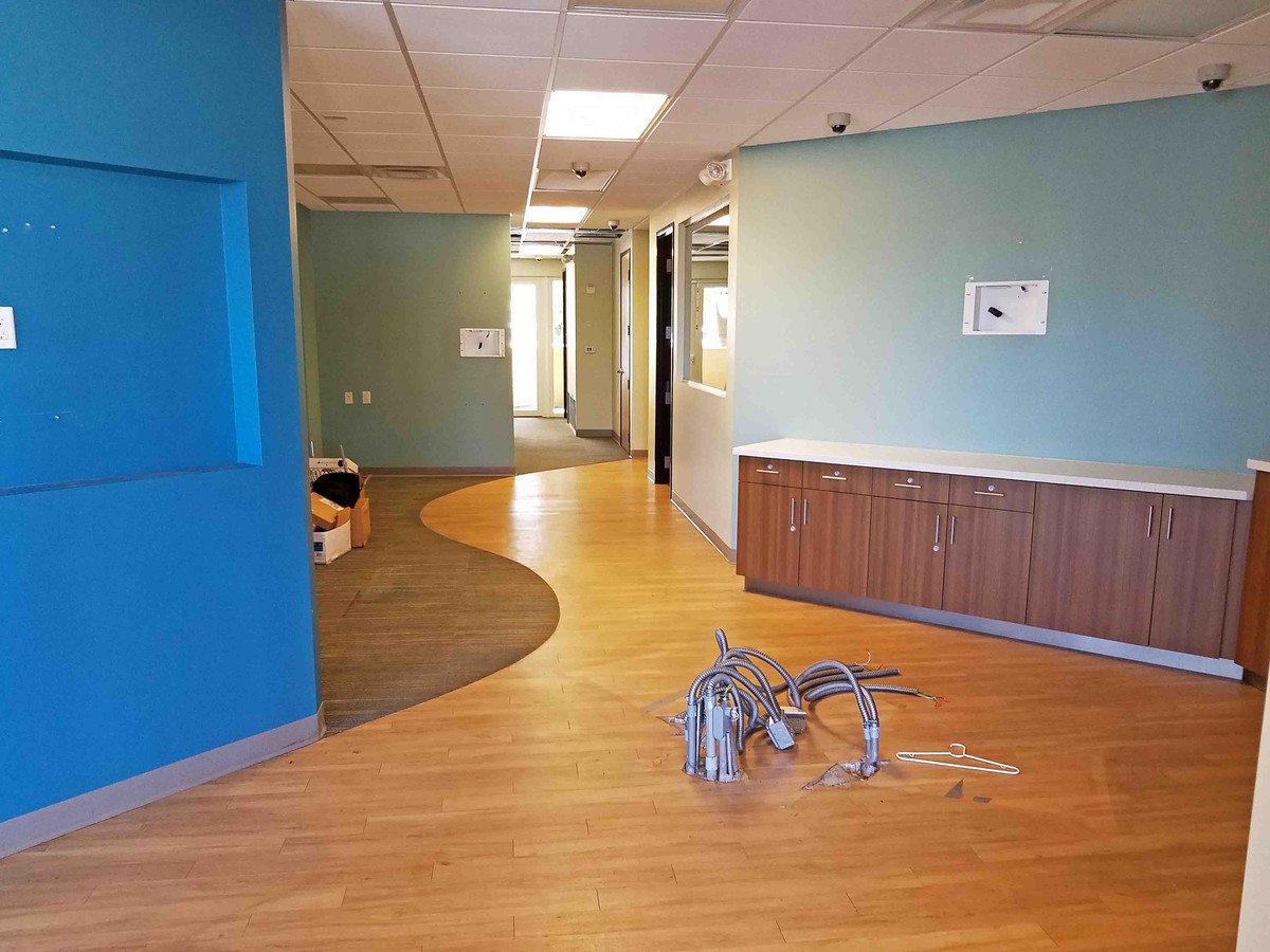
Officebuilding
PLAT OF WAUREGAN ON FLEMING GRANT PBB 1-75 BEING MORE PART DESC AS FOLL A 300 FT PARCEL LYING W OF NEWUS HYW #1 & S OF 9TH ST & US HWY #1; RU N SLY ALONG W R/W LINE OF US HWY #1, 750FT TO POB; TH CONT SLY ALONG SAID R/W 300 FT; TH RUN WLY ON A LINE P
X
Indian River
12061C0103J
Florida
2023
2 AC
2024
Fort Pierce/Port St Lucie
050808
Other Market Areas
26,276 SF
Sebastian-Vero Beach, FL
DEMOGRAPHICS near 1627 Us Highway 1
1 Mile
3 Mile
5 Mile
2024 Total Population
1,723
14,347
35,133
2029 Population
1,907
15,895
38,893
Pop Growth 2024-2029
+ 10.68%
+ 10.79%
+ 10.70%
Average Age
54
53
53
2024 Total Households
880
6,744
16,439
HH Growth 2024-2029
+ 10.11%
+ 10.28%
+ 10.27%
Median Household Inc
$51,035
$55,233
$55,882
Avg Household Size
1.90
2.10
2.10
2024 Avg HH Vehicles
2.00
2.00
2.00
Median Home Value
$270,161
$253,545
$241,618
Median Year Built
1993
1988
1990
Nearby Places
- Restaurants
- Banks
- Shops
- Fitness
- Groceries
PUBLIC TRANSPORTATION
AIRPORT
Melbourne Orlando International
DRIVE
WALK
Distance
Melbourne Orlando International
40 min
23.3 mi
Freight Ports
Port Canaveral
DRIVE
WALK
Distance
Port Canaveral
78 min
59.7 mi
SALE & LEASE HISTORY
LISTING DATE
SALE/LEASE

Sep 25, 2016
For Lease
Nearby Properties
Address
Land Use
TOTAL SIZE
Lot Size
Zoning
Address
Land Use
TOTAL SIZE
Lot Size
Zoning
1,216 SF
17.75 AC
MED
Address
Land Use
TOTAL SIZE
Lot Size
Zoning
3,183 SF
113 AC
RS-1
Address
Land Use
TOTAL SIZE
Lot Size
Zoning
5,043 SF
551.27 AC
AI
Address
Land Use
TOTAL SIZE
Lot Size
Zoning
182,069 SF
23.50 AC
CR
Address
Land Use
TOTAL SIZE
Lot Size
Zoning
103,664 SF
7.39 AC
CL
Address
Land Use
TOTAL SIZE
Lot Size
Zoning
5,836 SF
35.46 AC
RS-1
Address
Land Use
TOTAL SIZE
Lot Size
Zoning
16,630 SF
17.56 AC
PS
Address
Land Use
TOTAL SIZE
Lot Size
Zoning
64,620 SF
3.15 AC
CR
Address
Land Use
TOTAL SIZE
Lot Size
Zoning
264 SF
11.13 AC
CG
Address
Land Use
TOTAL SIZE
Lot Size
Zoning
174,428 SF
25.18 AC
RM-8
Address
Land Use
TOTAL SIZE
Lot Size
Zoning
45,992 SF
10.23 AC
CG
Address
Land Use
TOTAL SIZE
Lot Size
Zoning
123,774 SF
13.82 AC
CG
Address
Land Use
TOTAL SIZE
Lot Size
Zoning
625 SF
6.99 AC
IN
Address
Land Use
TOTAL SIZE
Lot Size
Zoning
5,914 SF
14.77 AC
PS
Address
Land Use
TOTAL SIZE
Lot Size
Zoning
36,160 SF
4.58 AC
CR
Address
Land Use
TOTAL SIZE
Lot Size
Zoning
54,136 SF
41.10 AC
PS
Address
Land Use
TOTAL SIZE
Lot Size
Zoning
2,076 SF
30.31 AC
RS-3
Address
Land Use
TOTAL SIZE
Lot Size
Zoning
58 SF
4.10 AC
CWR
Address
Land Use
TOTAL SIZE
Lot Size
Zoning
70,734 SF
7.24 AC
CG
Address
Land Use
TOTAL SIZE
Lot Size
Zoning
162.67 AC
RS-10
Address
Land Use
TOTAL SIZE
Lot Size
Zoning
21,423 SF
2.15 AC
PUD-C
Address
Land Use
TOTAL SIZE
Lot Size
Zoning
3,402 SF
74.38 AC
RS-1
Address
Land Use
TOTAL SIZE
Lot Size
Zoning
6,936 SF
2.82 AC
CR
Address
Land Use
TOTAL SIZE
Lot Size
Zoning
134.40 AC
IN
Address
Land Use
TOTAL SIZE
Lot Size
Zoning
18,474 SF
5.53 AC
CG
Address
Land Use
TOTAL SIZE
Lot Size
Zoning
1,800 SF
6.98 AC
RM-8
Address
Land Use
TOTAL SIZE
Lot Size
Zoning
2,579 SF
2.49 AC
RS-3
Address
Land Use
TOTAL SIZE
Lot Size
Zoning
3,842 SF
28.21 AC
RS-1
Address
Land Use
TOTAL SIZE
Lot Size
Zoning
3,483 SF
6.28 AC
RS-1
The World's #1 Commercial Real Estate Marketplace
Connect with us
© 2025 CoStar Group
The information above has been obtained from sources believed reliable. While we do not doubt its accuracy we have not verified it and make no guarantee, warranty or representation about it. It is your responsibility to independently confirm its accuracy and completeness. Any projections, opinions, assumptions, or estimates used are for example only and do not represent the current or future performance of the property. The value of this transaction to you depends on tax and other factors which should be evaluated by your tax, financial, and legal advisors. You and your advisors should conduct a careful, independent investigation of the property to determine to your satisfaction the suitability of the property for your needs.