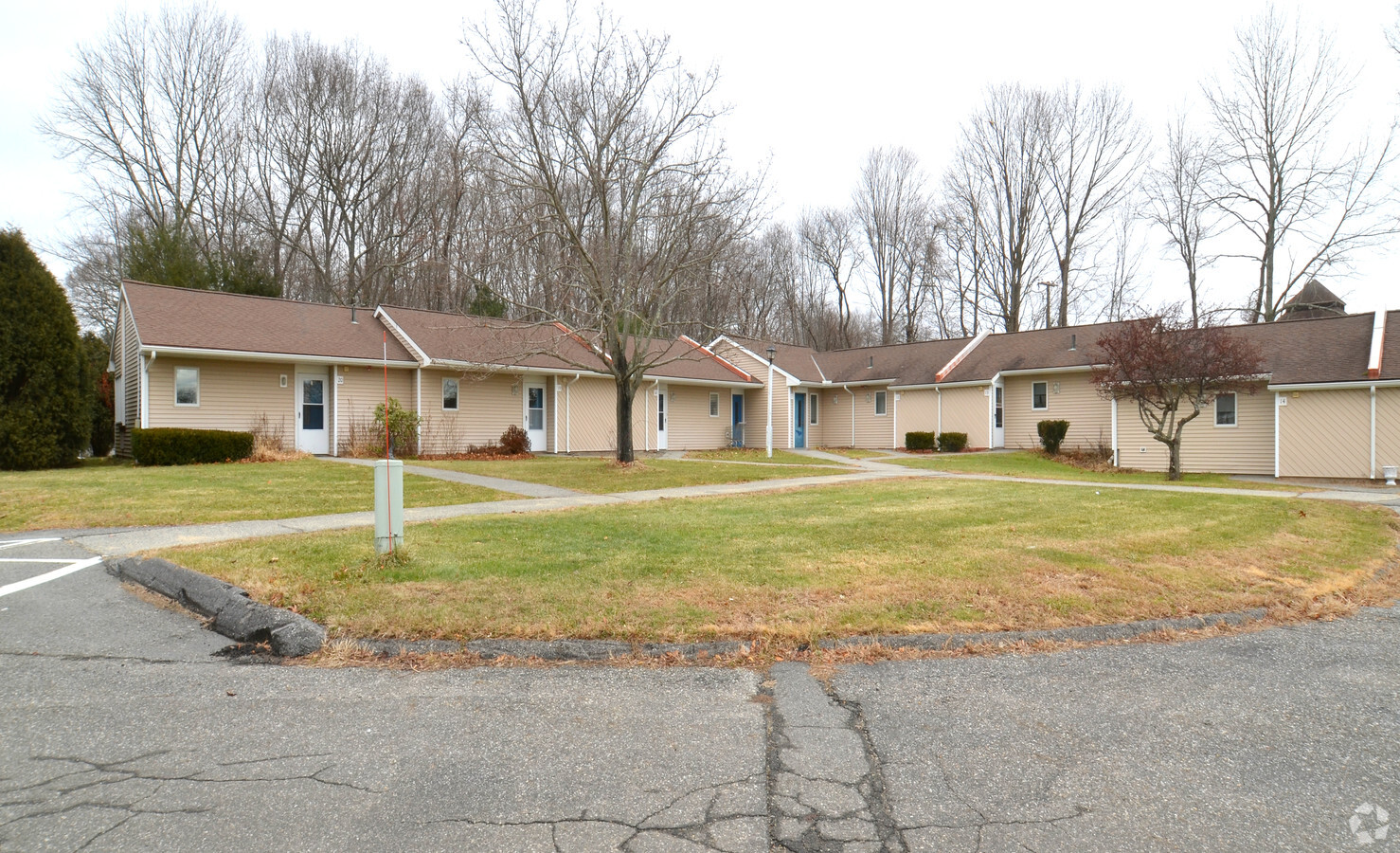
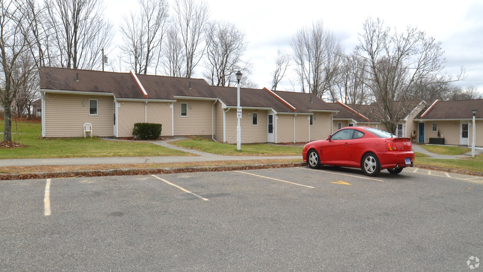
Property Record
1630 Main St, Coventry, CT 06238
NEARBY LISTINGS FOR SALE OR LEASE
-
-
View all Coventry listings for sale on LoopNet.com
Property Detail
1630 Main St
Hartford-West Hartford-East Hartford, CT
Tolland
COVE-000018-000049-000023A
Connecticut
Governmentalpublicusegeneral
111
0
9.29 AC
2024
Andover/Coventry
850200
Hartford
1,296 SF
DEMOGRAPHICS near 1630 Main St
1 Mile
3 Mile
5 Mile
2024 Total Population
1,586
11,933
39,215
2029 Population
1,590
12,020
39,127
Pop Growth 2024-2029
+ 0.25%
+ 0.73%
(0.22%)
Average Age
44
39
35
2024 Total Households
678
4,275
10,852
HH Growth 2024-2029
+ 0.15%
+ 0.47%
(0.26%)
Median Household Inc
$90,111
$79,830
$73,262
Avg Household Size
2.30
2.40
2.40
2024 Avg HH Vehicles
2.00
2.00
2.00
Median Home Value
$317,742
$280,181
$288,597
Median Year Built
1957
1966
1974
Nearby Places
- Restaurants
- Banks
- Shops
- Fitness
- Groceries
PUBLIC TRANSPORTATION
AIRPORT
Bradley International
DRIVE
WALK
Distance
Bradley International
58 min
35.6 mi
Freight Ports
Port of New Haven
DRIVE
WALK
Distance
Port of New Haven
77 min
57.7 mi
Nearby Properties
Address
Land Use
TOTAL SIZE
Lot Size
Zoning
Address
Land Use
TOTAL SIZE
Lot Size
Zoning
98 AC
GR40
Address
Land Use
TOTAL SIZE
Lot Size
Zoning
9.48 AC
DMR
Address
Land Use
TOTAL SIZE
Lot Size
Zoning
32,547 SF
180.40 AC
Address
Land Use
TOTAL SIZE
Lot Size
Zoning
38,376 SF
Address
Land Use
TOTAL SIZE
Lot Size
Zoning
30,480 SF
Address
Land Use
TOTAL SIZE
Lot Size
Zoning
23 AC
RAR90
Address
Land Use
TOTAL SIZE
Lot Size
Zoning
29,696 SF
Address
Land Use
TOTAL SIZE
Lot Size
Zoning
62,452 SF
20 AC
GR80
Address
Land Use
TOTAL SIZE
Lot Size
Zoning
50,284 SF
16.96 AC
RAR90
Address
Land Use
TOTAL SIZE
Lot Size
Zoning
19.60 AC
RAR90
Address
Land Use
TOTAL SIZE
Lot Size
Zoning
26,577 SF
1 AC
I
Address
Land Use
TOTAL SIZE
Lot Size
Zoning
1,290 SF
200 AC
Address
Land Use
TOTAL SIZE
Lot Size
Zoning
38,103 SF
8.80 AC
RAR90
Address
Land Use
TOTAL SIZE
Lot Size
Zoning
16,800 SF
1 AC
I
Address
Land Use
TOTAL SIZE
Lot Size
Zoning
14.09 AC
GR40
Address
Land Use
TOTAL SIZE
Lot Size
Zoning
Address
Land Use
TOTAL SIZE
Lot Size
Zoning
180.40 AC
Address
Land Use
TOTAL SIZE
Lot Size
Zoning
6.20 AC
VR
Address
Land Use
TOTAL SIZE
Lot Size
Zoning
44.90 AC
GR80
Address
Land Use
TOTAL SIZE
Lot Size
Zoning
22.05 AC
RAR90
Address
Land Use
TOTAL SIZE
Lot Size
Zoning
18,316 SF
I
Address
Land Use
TOTAL SIZE
Lot Size
Zoning
152 AC
Address
Land Use
TOTAL SIZE
Lot Size
Zoning
10,984 SF
8.88 AC
GR80
Address
Land Use
TOTAL SIZE
Lot Size
Zoning
7,007 SF
1.99 AC
VC
Address
Land Use
TOTAL SIZE
Lot Size
Zoning
17,659 SF
1 AC
Address
Land Use
TOTAL SIZE
Lot Size
Zoning
12,637 SF
15.64 AC
RAR90
Address
Land Use
TOTAL SIZE
Lot Size
Zoning
10,704 SF
I
Address
Land Use
TOTAL SIZE
Lot Size
Zoning
5,200 SF
7 AC
VR
Address
Land Use
TOTAL SIZE
Lot Size
Zoning
7,622 SF
0.91 AC
VC
The World's #1 Commercial Real Estate Marketplace
Connect with us
© 2025 CoStar Group
The information above has been obtained from sources believed reliable. While we do not doubt its accuracy we have not verified it and make no guarantee, warranty or representation about it. It is your responsibility to independently confirm its accuracy and completeness. Any projections, opinions, assumptions, or estimates used are for example only and do not represent the current or future performance of the property. The value of this transaction to you depends on tax and other factors which should be evaluated by your tax, financial, and legal advisors. You and your advisors should conduct a careful, independent investigation of the property to determine to your satisfaction the suitability of the property for your needs.