Property Record
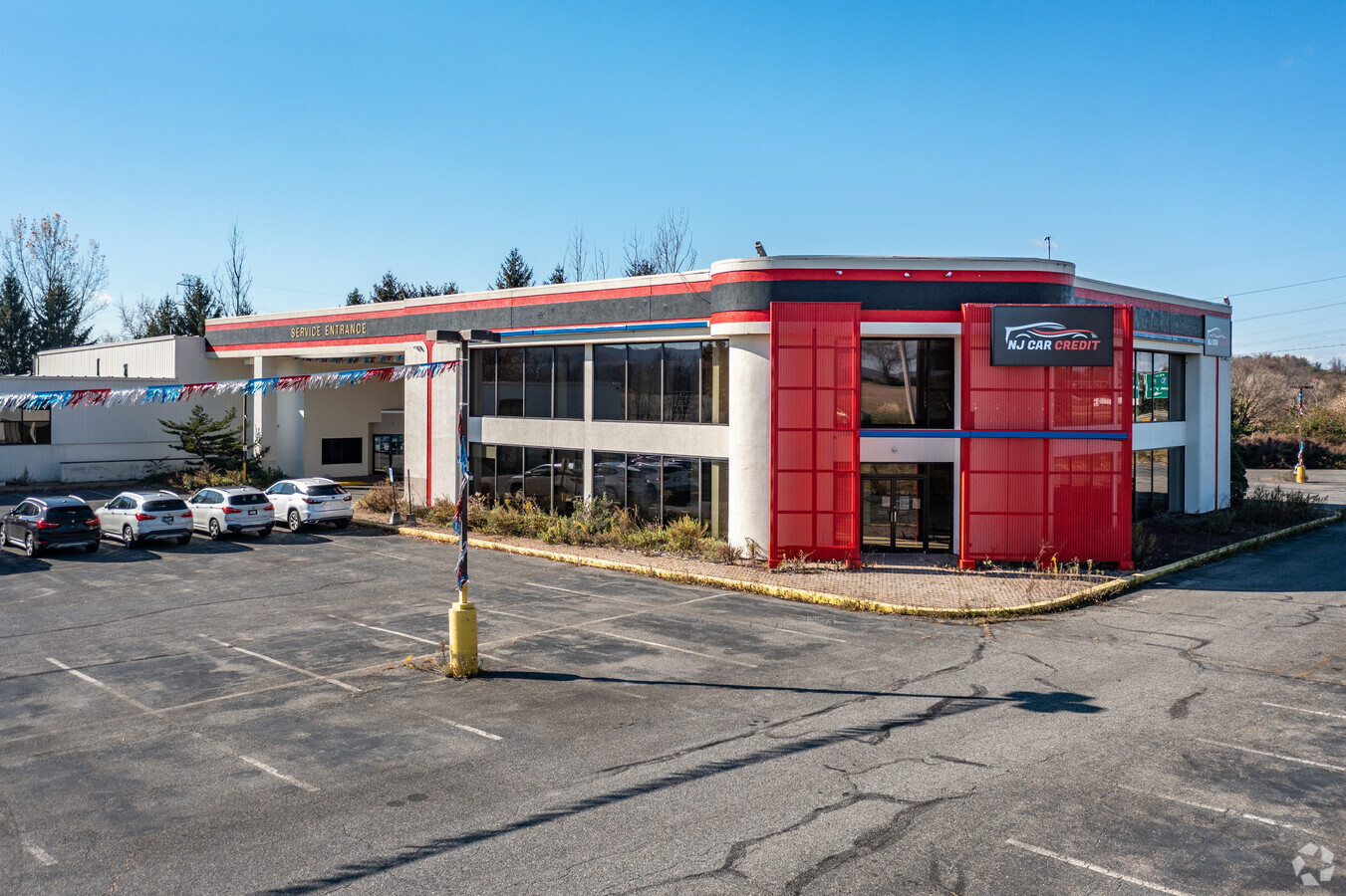
164 Route 173, Stewartsville, NJ 08886


NEARBY LISTINGS FOR SALE OR LEASE
Property Detail
164 Route 173
07-00040-01-00001
Warren
Vehiclerentalsvehiclesales
New Jersey
X
1
34041C0292E
3.77 AC
2023
Warren County
2024
Northern New Jersey
032102
Allentown-Bethlehem-Easton, PA-NJ
DEMOGRAPHICS near 164 Route 173
1 Mile
3 Mile
5 Mile
2024 Total Population
357
18,092
64,773
2029 Population
364
18,504
66,096
Pop Growth 2024-2029
+ 1.96%
+ 2.28%
+ 2.04%
Average Age
42
43
41
2024 Total Households
119
6,981
24,766
HH Growth 2024-2029
+ 1.68%
+ 2.49%
+ 2.19%
Median Household Inc
$158,333
$89,152
$75,212
Avg Household Size
3.00
2.50
2.40
2024 Avg HH Vehicles
3.00
2.00
2.00
Median Home Value
$437,500
$276,653
$256,187
Median Year Built
1990
1967
1958
Nearby Places
- Restaurants
- Banks
- Shops
- Fitness
- Groceries
PUBLIC TRANSPORTATION
AIRPORT
Lehigh Valley International
DRIVE
WALK
Distance
Lehigh Valley International
34 min
20.1 mi
Freight Ports
Port of Philadelphia
DRIVE
WALK
Distance
Port of Philadelphia
99 min
56.5 mi
SALE & LEASE HISTORY
LISTING DATE
SALE/LEASE

Mar 21, 2019
For Lease
Mar 21, 2019
For Sale
Jun 29, 2020
For Lease
Jun 29, 2020
For Sale
Nearby Properties
Address
Land Use
TOTAL SIZE
Lot Size
Zoning
Address
Land Use
TOTAL SIZE
Lot Size
Zoning
54.61 AC
Address
Land Use
TOTAL SIZE
Lot Size
Zoning
48.27 AC
I2RA
Address
Land Use
TOTAL SIZE
Lot Size
Zoning
27.73 AC
RA-7
Address
Land Use
TOTAL SIZE
Lot Size
Zoning
20.65 AC
HBRM
Address
Land Use
TOTAL SIZE
Lot Size
Zoning
48.60 AC
B-3
Address
Land Use
TOTAL SIZE
Lot Size
Zoning
47.55 AC
B-3
Address
Land Use
TOTAL SIZE
Lot Size
Zoning
14.60 AC
RA-7
Address
Land Use
TOTAL SIZE
Lot Size
Zoning
28.79 AC
R-1
Address
Land Use
TOTAL SIZE
Lot Size
Zoning
7.43 AC
R-50
Address
Land Use
TOTAL SIZE
Lot Size
Zoning
15.02 AC
ROM
Address
Land Use
TOTAL SIZE
Lot Size
Zoning
5,600 SF
24.18 AC
B-I
Address
Land Use
TOTAL SIZE
Lot Size
Zoning
39.52 AC
ROM
Address
Land Use
TOTAL SIZE
Lot Size
Zoning
0.66 AC
B-I
Address
Land Use
TOTAL SIZE
Lot Size
Zoning
12.16 AC
Address
Land Use
TOTAL SIZE
Lot Size
Zoning
11.52 AC
I
Address
Land Use
TOTAL SIZE
Lot Size
Zoning
7.21 AC
B-3
Address
Land Use
TOTAL SIZE
Lot Size
Zoning
15.20 AC
B2R5
Address
Land Use
TOTAL SIZE
Lot Size
Zoning
94.49 AC
I2RA
Address
Land Use
TOTAL SIZE
Lot Size
Zoning
21.99 AC
ROM
Address
Land Use
TOTAL SIZE
Lot Size
Zoning
16.05 AC
HB
Address
Land Use
TOTAL SIZE
Lot Size
Zoning
29.53 AC
HBRM
Address
Land Use
TOTAL SIZE
Lot Size
Zoning
18.70 AC
I
Address
Land Use
TOTAL SIZE
Lot Size
Zoning
54.61 AC
Address
Land Use
TOTAL SIZE
Lot Size
Zoning
12.02 AC
B-2
Address
Land Use
TOTAL SIZE
Lot Size
Zoning
2.57 AC
R-75
Address
Land Use
TOTAL SIZE
Lot Size
Zoning
13.09 AC
I
Address
Land Use
TOTAL SIZE
Lot Size
Zoning
14.29 AC
B-2
Address
Land Use
TOTAL SIZE
Lot Size
Zoning
48.27 AC
I2RA
Address
Land Use
TOTAL SIZE
Lot Size
Zoning
3.94 AC
HB
Address
Land Use
TOTAL SIZE
Lot Size
Zoning
1,568 SF
8.09 AC
MFR5
The World's #1 Commercial Real Estate Marketplace
Connect with us
© 2025 CoStar Group
The information above has been obtained from sources believed reliable. While we do not doubt its accuracy we have not verified it and make no guarantee, warranty or representation about it. It is your responsibility to independently confirm its accuracy and completeness. Any projections, opinions, assumptions, or estimates used are for example only and do not represent the current or future performance of the property. The value of this transaction to you depends on tax and other factors which should be evaluated by your tax, financial, and legal advisors. You and your advisors should conduct a careful, independent investigation of the property to determine to your satisfaction the suitability of the property for your needs.