Property Record
16841 S Memorial Dr, Bixby, OK 74008
NEARBY LISTINGS FOR SALE OR LEASE
-
-
View all Bixby listings for sale on LoopNet.com
Property Detail
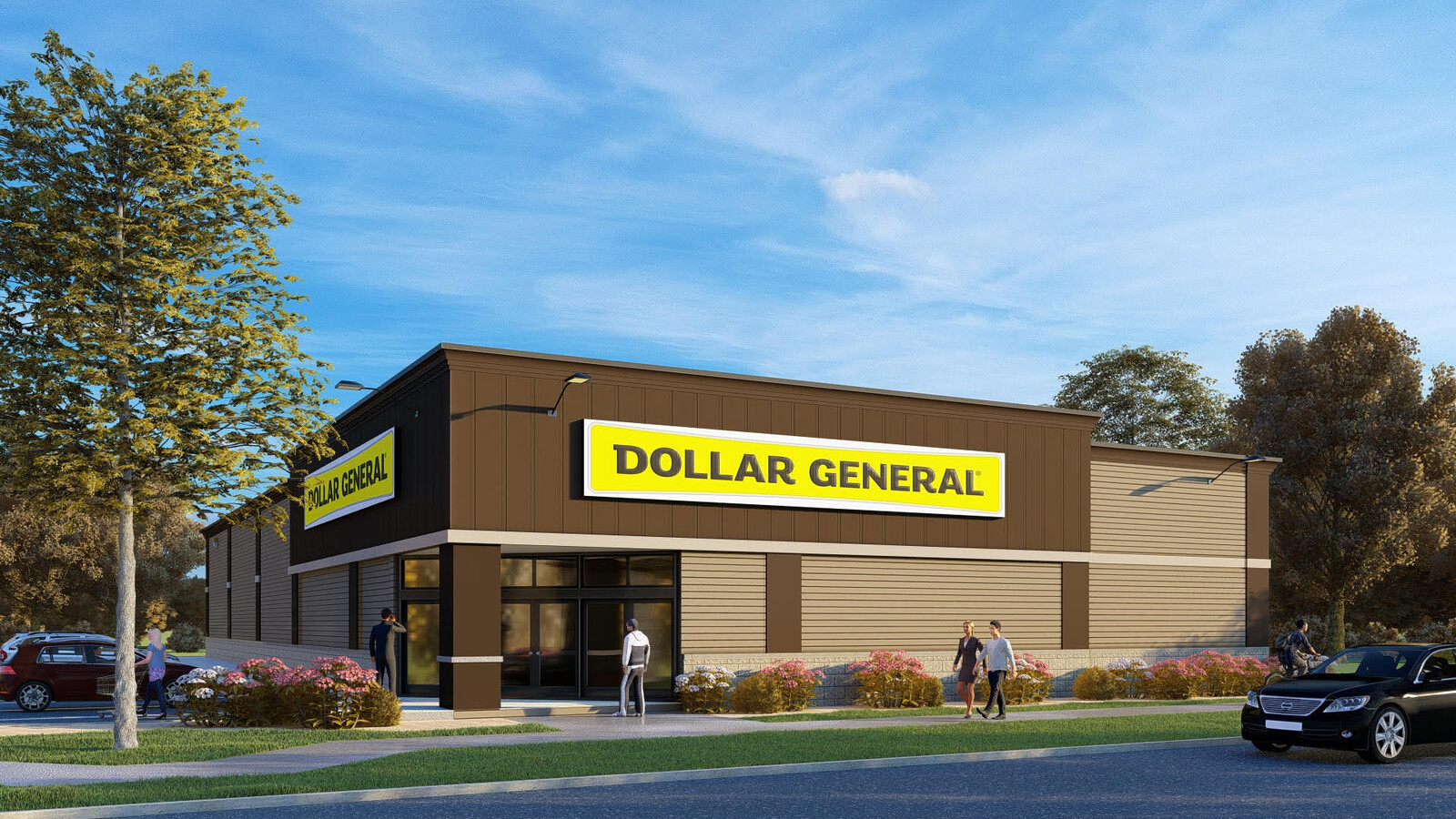
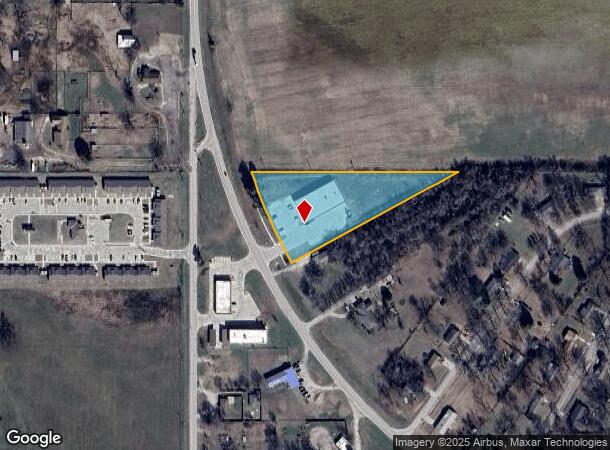
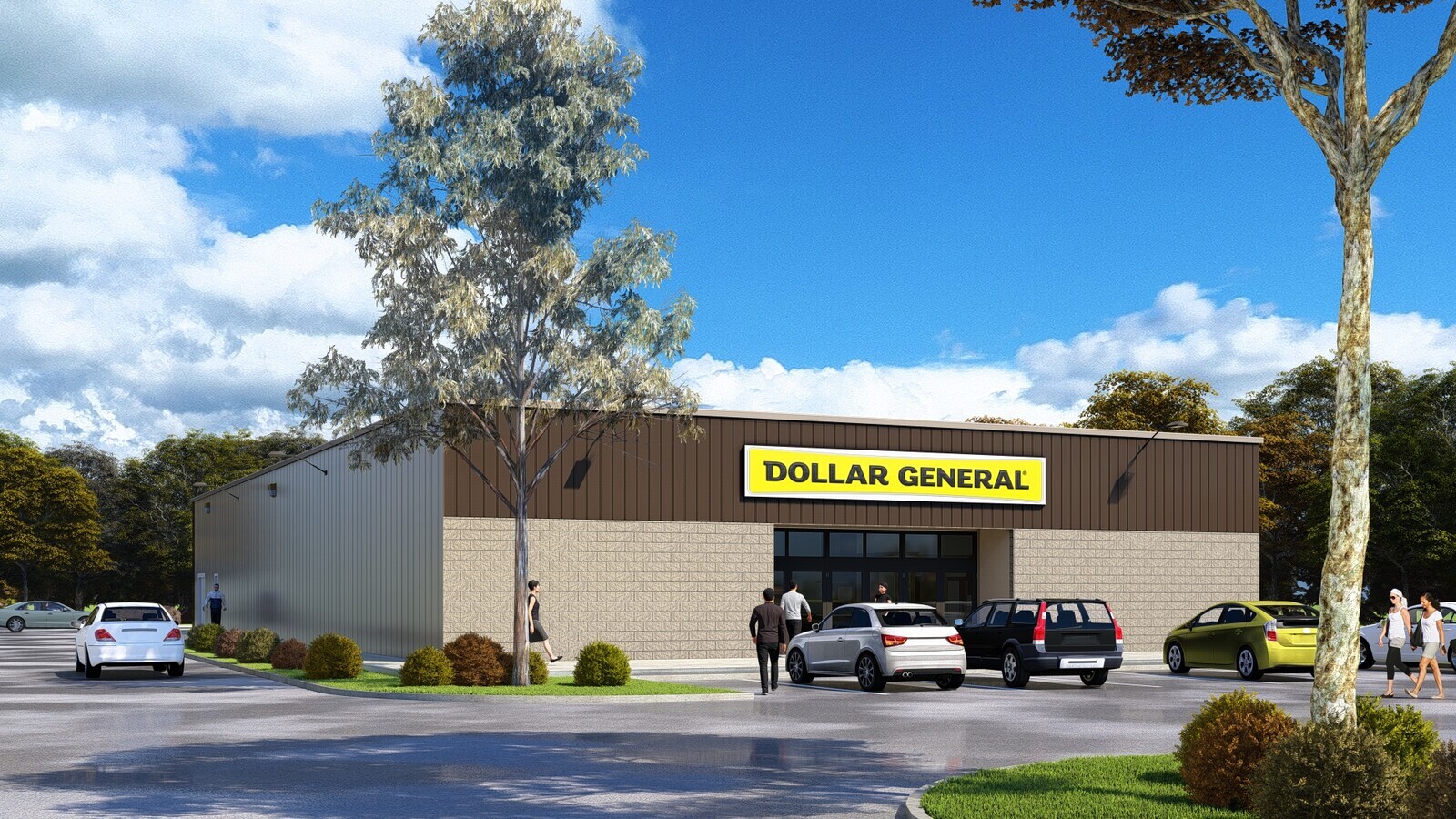
16841 S Memorial Dr
Tulsa, OK
Dollar General Bixby 64 Amended (Replat
57691-73-25-41950
LOT 1 BLOCK 1
Storebuilding
Tulsa
AE
Oklahoma
40143C0445L
1
2023
2.25 AC
2024
South Tulsa
007801
Tulsa
10,563 SF
DEMOGRAPHICS near 16841 S Memorial Dr
1 Mile
3 Mile
5 Mile
2024 Total Population
1,900
8,159
29,748
2029 Population
1,991
8,707
31,302
Pop Growth 2024-2029
+ 4.79%
+ 6.72%
+ 5.22%
Average Age
37
37
37
2024 Total Households
694
2,933
10,432
HH Growth 2024-2029
+ 4.90%
+ 6.61%
+ 5.16%
Median Household Inc
$66,136
$73,988
$95,326
Avg Household Size
2.70
2.80
2.80
2024 Avg HH Vehicles
2.00
2.00
2.00
Median Home Value
$234,730
$283,957
$292,476
Median Year Built
1985
2001
2004
Nearby Places
- Restaurants
- Banks
- Shops
- Fitness
- Groceries
PUBLIC TRANSPORTATION
AIRPORT
Tulsa International
DRIVE
WALK
Distance
Tulsa International
37 min
24.7 mi
Freight Ports
Tulsa Port of Inola
DRIVE
WALK
Distance
Tulsa Port of Inola
52 min
39.8 mi
SALE & LEASE HISTORY
LISTING DATE
SALE/LEASE

Jun 08, 2022
For Sale
Nearby Properties
Address
Land Use
TOTAL SIZE
Lot Size
Zoning
Address
Land Use
TOTAL SIZE
Lot Size
Zoning
10,265 SF
56.52 AC
RS2
Address
Land Use
TOTAL SIZE
Lot Size
Zoning
27,256 SF
31.19 AC
CS
Address
Land Use
TOTAL SIZE
Lot Size
Zoning
219,987 SF
10.06 AC
CS
Address
Land Use
TOTAL SIZE
Lot Size
Zoning
30,000 SF
5.06 AC
Address
Land Use
TOTAL SIZE
Lot Size
Zoning
30,000 SF
5.13 AC
CS
Address
Land Use
TOTAL SIZE
Lot Size
Zoning
22,140 SF
75.39 AC
AG
Address
Land Use
TOTAL SIZE
Lot Size
Zoning
17,776 SF
0.75 AC
CH
Address
Land Use
TOTAL SIZE
Lot Size
Zoning
26,530 SF
0.81 AC
IL
Address
Land Use
TOTAL SIZE
Lot Size
Zoning
23,375 SF
5.91 AC
CS
Address
Land Use
TOTAL SIZE
Lot Size
Zoning
24,750 SF
80 AC
AG
Address
Land Use
TOTAL SIZE
Lot Size
Zoning
8,912 SF
1.44 AC
CG
Address
Land Use
TOTAL SIZE
Lot Size
Zoning
13,535 SF
37.94 AC
AG
Address
Land Use
TOTAL SIZE
Lot Size
Zoning
13,870 SF
9.49 AC
RS3
Address
Land Use
TOTAL SIZE
Lot Size
Zoning
30,000 SF
20.13 AC
CS
Address
Land Use
TOTAL SIZE
Lot Size
Zoning
10,086 SF
0.82 AC
CH
Address
Land Use
TOTAL SIZE
Lot Size
Zoning
7,526 SF
0.45 AC
RS1
Address
Land Use
TOTAL SIZE
Lot Size
Zoning
74,069 SF
3.29 AC
CG
Address
Land Use
TOTAL SIZE
Lot Size
Zoning
2,160 SF
10 AC
AG
Address
Land Use
TOTAL SIZE
Lot Size
Zoning
255.35 AC
AG
Address
Land Use
TOTAL SIZE
Lot Size
Zoning
1,026 SF
14.98 AC
AG
Address
Land Use
TOTAL SIZE
Lot Size
Zoning
19,332 SF
1.13 AC
CH
Address
Land Use
TOTAL SIZE
Lot Size
Zoning
6,800 SF
6.23 AC
AG
Address
Land Use
TOTAL SIZE
Lot Size
Zoning
17,664 SF
0.46 AC
CH
Address
Land Use
TOTAL SIZE
Lot Size
Zoning
16,043 SF
4.01 AC
AG
Address
Land Use
TOTAL SIZE
Lot Size
Zoning
8,648 SF
3.06 AC
AG
Address
Land Use
TOTAL SIZE
Lot Size
Zoning
15,619 SF
0.86 AC
RS3
Address
Land Use
TOTAL SIZE
Lot Size
Zoning
7,216 SF
0.52 AC
RS3
Address
Land Use
TOTAL SIZE
Lot Size
Zoning
15,201 SF
0.60 AC
CH
Address
Land Use
TOTAL SIZE
Lot Size
Zoning
31,897 SF
5 AC
IL
Address
Land Use
TOTAL SIZE
Lot Size
Zoning
76,434 SF
9.97 AC
RM1
The World's #1 Commercial Real Estate Marketplace
Connect with us
© 2025 CoStar Group
The information above has been obtained from sources believed reliable. While we do not doubt its accuracy we have not verified it and make no guarantee, warranty or representation about it. It is your responsibility to independently confirm its accuracy and completeness. Any projections, opinions, assumptions, or estimates used are for example only and do not represent the current or future performance of the property. The value of this transaction to you depends on tax and other factors which should be evaluated by your tax, financial, and legal advisors. You and your advisors should conduct a careful, independent investigation of the property to determine to your satisfaction the suitability of the property for your needs.