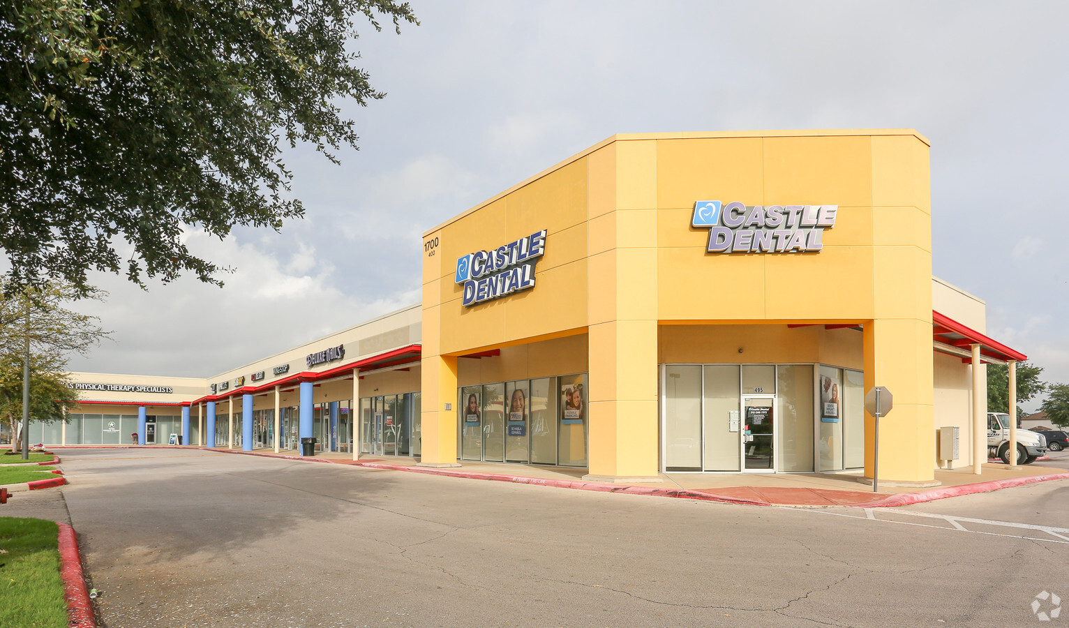
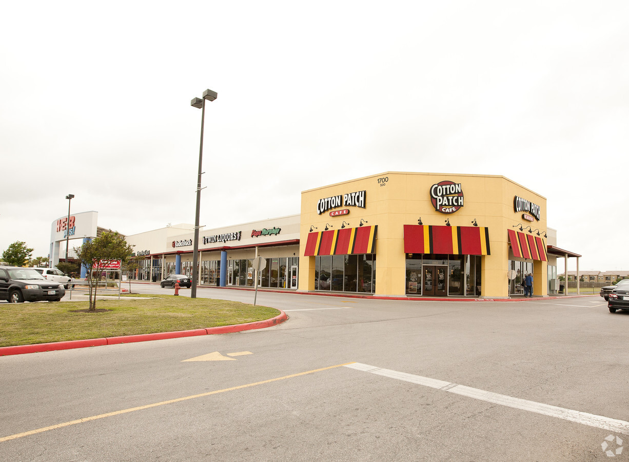
Property Record
1700 E Palm Valley Blvd, Round Rock, TX 78664
NEARBY LISTINGS FOR SALE OR LEASE
Property Detail
1700 E Palm Valley Blvd
Austin
Heb #4 (Blk 1 Lt 1A Replat)
Austin-Round Rock, TX
COMMERCIAL REFERENCE ONLY-S11125 - HEB #4 (BLK 1 LT 1A REPLAT), BLOCK 1, LOT 1A, ACRES 29.012, CAD,CRR,GWI,J01,RFM,SRR,W09/R606311
R606311
Williamson
Commercialnec
Texas
0
1a
2024
31.14 AC
021517
Round Rock
218,358 SF
DEMOGRAPHICS near 1700 E Palm Valley Blvd
1 Mile
3 Mile
5 Mile
2024 Total Population
17,067
103,286
245,001
2029 Population
21,621
130,551
301,461
Pop Growth 2024-2029
+ 26.68%
+ 26.40%
+ 23.04%
Average Age
36
36
36
2024 Total Households
6,541
37,931
89,279
HH Growth 2024-2029
+ 27.26%
+ 26.94%
+ 23.59%
Median Household Inc
$72,727
$82,107
$95,389
Avg Household Size
2.50
2.70
2.70
2024 Avg HH Vehicles
2.00
2.00
2.00
Median Home Value
$273,564
$304,319
$363,153
Median Year Built
1993
1999
2004
Nearby Places
- Restaurants
- Banks
- Shops
- Fitness
- Groceries
PUBLIC TRANSPORTATION
AIRPORT
Austin-Bergstrom International
DRIVE
WALK
Distance
Austin-Bergstrom International
41 min
32.2 mi
Freight Ports
Calhoun Port
DRIVE
WALK
Distance
Calhoun Port
202 min
175.2 mi
SALE & LEASE HISTORY
LISTING DATE
SALE/LEASE

Jun 13, 2017
For Lease
Jan 29, 2018
For Lease
Nearby Properties
Address
Land Use
TOTAL SIZE
Lot Size
Zoning
Address
Land Use
TOTAL SIZE
Lot Size
Zoning
1,240,638 SF
116 AC
Address
Land Use
TOTAL SIZE
Lot Size
Zoning
2,089,779 SF
167.48 AC
Address
Land Use
TOTAL SIZE
Lot Size
Zoning
956,707 SF
71.90 AC
C1
Address
Land Use
TOTAL SIZE
Lot Size
Zoning
536,741 SF
80.32 AC
SF2
Address
Land Use
TOTAL SIZE
Lot Size
Zoning
422,682 SF
95.18 AC
Address
Land Use
TOTAL SIZE
Lot Size
Zoning
485,021 SF
50.17 AC
C1
Address
Land Use
TOTAL SIZE
Lot Size
Zoning
470,992 SF
25.92 AC
Address
Land Use
TOTAL SIZE
Lot Size
Zoning
295,750 SF
21.46 AC
Address
Land Use
TOTAL SIZE
Lot Size
Zoning
533,151 SF
26.90 AC
PUD
Address
Land Use
TOTAL SIZE
Lot Size
Zoning
361,440 SF
19.35 AC
Address
Land Use
TOTAL SIZE
Lot Size
Zoning
456,943 SF
66.31 AC
SF2
Address
Land Use
TOTAL SIZE
Lot Size
Zoning
543,958 SF
60.19 AC
Address
Land Use
TOTAL SIZE
Lot Size
Zoning
541,124 SF
60.16 AC
Address
Land Use
TOTAL SIZE
Lot Size
Zoning
326,015 SF
11.11 AC
Address
Land Use
TOTAL SIZE
Lot Size
Zoning
362,216 SF
19.72 AC
Address
Land Use
TOTAL SIZE
Lot Size
Zoning
618,605 SF
14.11 AC
PUD
Address
Land Use
TOTAL SIZE
Lot Size
Zoning
379,953 SF
11.74 AC
PUD
Address
Land Use
TOTAL SIZE
Lot Size
Zoning
378,799 SF
9.03 AC
PUD
Address
Land Use
TOTAL SIZE
Lot Size
Zoning
201,200 SF
9.48 AC
Address
Land Use
TOTAL SIZE
Lot Size
Zoning
216,198 SF
9.47 AC
Address
Land Use
TOTAL SIZE
Lot Size
Zoning
477,454 SF
22.28 AC
Address
Land Use
TOTAL SIZE
Lot Size
Zoning
364,432 SF
20.56 AC
MF
Address
Land Use
TOTAL SIZE
Lot Size
Zoning
330,541 SF
20.90 AC
PUD
Address
Land Use
TOTAL SIZE
Lot Size
Zoning
338,958 SF
10.41 AC
PUD
Address
Land Use
TOTAL SIZE
Lot Size
Zoning
372,586 SF
12.52 AC
Address
Land Use
TOTAL SIZE
Lot Size
Zoning
140,409 SF
17.15 AC
Address
Land Use
TOTAL SIZE
Lot Size
Zoning
344,341 SF
19.19 AC
PUD
Address
Land Use
TOTAL SIZE
Lot Size
Zoning
409,875 SF
25.28 AC
MF
Address
Land Use
TOTAL SIZE
Lot Size
Zoning
273,462 SF
47.12 AC
Address
Land Use
TOTAL SIZE
Lot Size
Zoning
283,866 SF
12.18 AC
The World's #1 Commercial Real Estate Marketplace
Connect with us
© 2025 CoStar Group
The information above has been obtained from sources believed reliable. While we do not doubt its accuracy we have not verified it and make no guarantee, warranty or representation about it. It is your responsibility to independently confirm its accuracy and completeness. Any projections, opinions, assumptions, or estimates used are for example only and do not represent the current or future performance of the property. The value of this transaction to you depends on tax and other factors which should be evaluated by your tax, financial, and legal advisors. You and your advisors should conduct a careful, independent investigation of the property to determine to your satisfaction the suitability of the property for your needs.