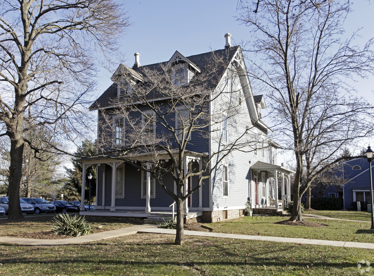
Property Record
1701 Newtown Rd, Langhorne, PA 19047
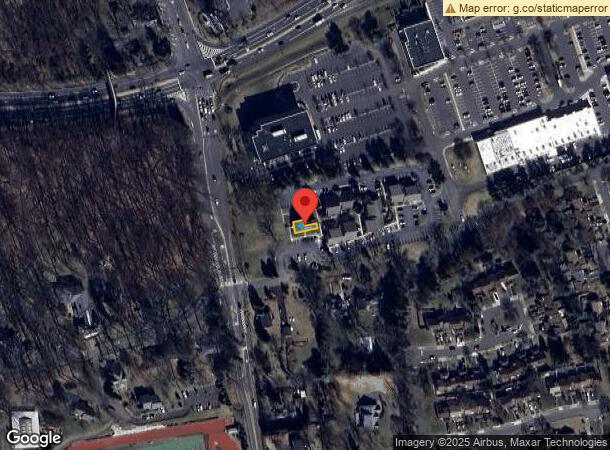
NEARBY LISTINGS FOR SALE OR LEASE
Property Detail
1701 Newtown Rd
22-005-005-005-001
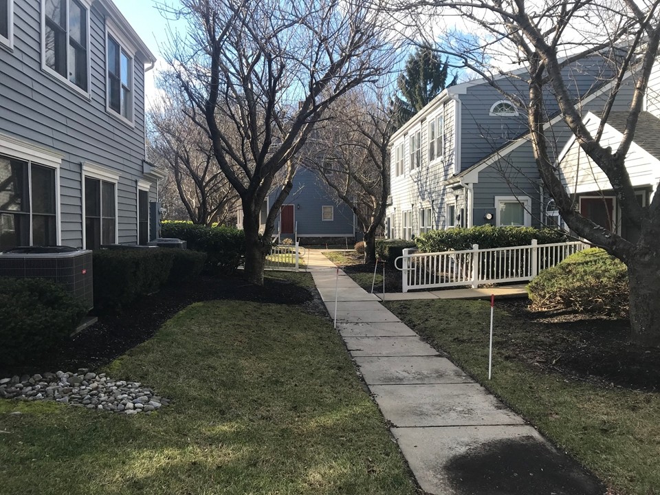
Victorian Commons
Officebuilding
VICTORIAN COMMONS SUMMIT BLDG 5 UNIT 1
X
Bucks
42017C0433K
Pennsylvania
2024
0.04 AC
2024
Lower Bucks County
100807
Philadelphia
3,300 SF
Philadelphia-Camden-Wilmington, PA-NJ-DE-MD
DEMOGRAPHICS near 1701 Newtown Rd
1 Mile
3 Mile
5 Mile
2024 Total Population
7,010
51,426
138,752
2029 Population
6,946
51,151
137,972
Pop Growth 2024-2029
(0.91%)
(0.53%)
(0.56%)
Average Age
47
46
44
2024 Total Households
2,990
20,146
51,801
HH Growth 2024-2029
(0.94%)
(0.62%)
(0.61%)
Median Household Inc
$120,756
$123,651
$123,986
Avg Household Size
2.20
2.50
2.60
2024 Avg HH Vehicles
2.00
2.00
2.00
Median Home Value
$485,098
$471,533
$443,702
Median Year Built
1982
1984
1980
Nearby Places
- Restaurants
- Banks
- Shops
- Fitness
- Groceries
PUBLIC TRANSPORTATION
AIRPORT
Philadelphia International
DRIVE
WALK
Distance
Philadelphia International
48 min
41.3 mi
Freight Ports
Port of Philadelphia
DRIVE
WALK
Distance
Port of Philadelphia
1 min
18.3 mi
SALE & LEASE HISTORY
LISTING DATE
SALE/LEASE

Nov 10, 2020
For Lease
Mar 08, 2023
For Lease
Jan 09, 2019
For Lease
Jan 09, 2019
For Sale
Nearby Properties
Address
Land Use
TOTAL SIZE
Lot Size
Zoning
Address
Land Use
TOTAL SIZE
Lot Size
Zoning
56,951 SF
6.50 AC
OR
Address
Land Use
TOTAL SIZE
Lot Size
Zoning
4,982 SF
39 AC
C
Address
Land Use
TOTAL SIZE
Lot Size
Zoning
170,342 SF
28.26 AC
PC
Address
Land Use
TOTAL SIZE
Lot Size
Zoning
10,350 SF
35.54 AC
R4
Address
Land Use
TOTAL SIZE
Lot Size
Zoning
21.78 AC
R4
Address
Land Use
TOTAL SIZE
Lot Size
Zoning
116,591 SF
2.65 AC
MI
Address
Land Use
TOTAL SIZE
Lot Size
Zoning
381,016 SF
52.25 AC
OR
Address
Land Use
TOTAL SIZE
Lot Size
Zoning
113,929 SF
10.43 AC
VRI
Address
Land Use
TOTAL SIZE
Lot Size
Zoning
78,743 SF
44.63 AC
IP
Address
Land Use
TOTAL SIZE
Lot Size
Zoning
104,466 SF
1.81 AC
OR
Address
Land Use
TOTAL SIZE
Lot Size
Zoning
57,804 SF
20.69 AC
AO
Address
Land Use
TOTAL SIZE
Lot Size
Zoning
102,348 SF
0.60 AC
RA
Address
Land Use
TOTAL SIZE
Lot Size
Zoning
104,204 SF
12.99 AC
RA3
Address
Land Use
TOTAL SIZE
Lot Size
Zoning
109,704 SF
14.12 AC
LI
Address
Land Use
TOTAL SIZE
Lot Size
Zoning
162,990 SF
10.75 AC
LI
Address
Land Use
TOTAL SIZE
Lot Size
Zoning
104,466 SF
1.91 AC
OR
Address
Land Use
TOTAL SIZE
Lot Size
Zoning
37,550 SF
5.18 AC
M1
Address
Land Use
TOTAL SIZE
Lot Size
Zoning
131,927 SF
14.72 AC
LI
Address
Land Use
TOTAL SIZE
Lot Size
Zoning
106,250 SF
14.40 AC
OR
Address
Land Use
TOTAL SIZE
Lot Size
Zoning
94,737 SF
1.66 AC
OR
Address
Land Use
TOTAL SIZE
Lot Size
Zoning
16,990 SF
2.83 AC
C
Address
Land Use
TOTAL SIZE
Lot Size
Zoning
151,803 SF
12.54 AC
LI
Address
Land Use
TOTAL SIZE
Lot Size
Zoning
65,124 SF
8.52 AC
PG
Address
Land Use
TOTAL SIZE
Lot Size
Zoning
16,170 SF
40 AC
OR
Address
Land Use
TOTAL SIZE
Lot Size
Zoning
114,710 SF
10.93 AC
R4
Address
Land Use
TOTAL SIZE
Lot Size
Zoning
15,905 SF
8.43 AC
M1
Address
Land Use
TOTAL SIZE
Lot Size
Zoning
75,089 SF
2.03 AC
R2
Address
Land Use
TOTAL SIZE
Lot Size
Zoning
35,713 SF
7.09 AC
L1
Address
Land Use
TOTAL SIZE
Lot Size
Zoning
78,848 SF
0.70 AC
Address
Land Use
TOTAL SIZE
Lot Size
Zoning
64,164 SF
8.28 AC
PC
The World's #1 Commercial Real Estate Marketplace
Connect with us
© 2025 CoStar Group
The information above has been obtained from sources believed reliable. While we do not doubt its accuracy we have not verified it and make no guarantee, warranty or representation about it. It is your responsibility to independently confirm its accuracy and completeness. Any projections, opinions, assumptions, or estimates used are for example only and do not represent the current or future performance of the property. The value of this transaction to you depends on tax and other factors which should be evaluated by your tax, financial, and legal advisors. You and your advisors should conduct a careful, independent investigation of the property to determine to your satisfaction the suitability of the property for your needs.