Property Record
1719 New Hope Rd, Lawrenceville, GA 30045
NEARBY LISTINGS FOR SALE OR LEASE
Property Detail
1719 New Hope Rd
Atlanta-Sandy Springs-Roswell, GA
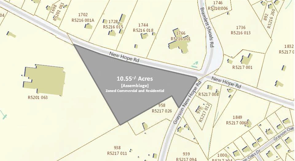
New Hope Rd
5-216-010
LVILEL NEW HOPE RD
Medicalbuilding
Gwinnett
X
Georgia
13135C0106F
216
2024
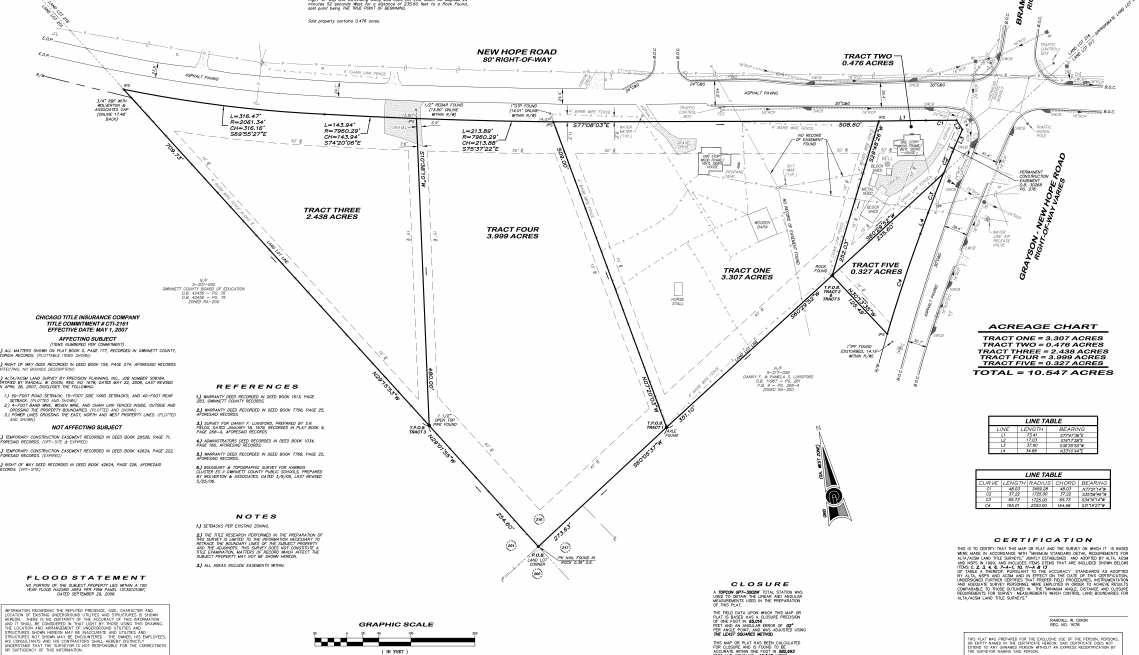
2.40 AC
2023
Lawrenceville/Lilburn
050588
Atlanta
7,104 SF
DEMOGRAPHICS near 1719 New Hope Rd
1 Mile
3 Mile
5 Mile
2024 Total Population
7,060
46,948
131,540
2029 Population
7,342
49,159
138,290
Pop Growth 2024-2029
+ 3.99%
+ 4.71%
+ 5.13%
Average Age
35
37
36
2024 Total Households
1,994
13,836
40,146
HH Growth 2024-2029
+ 4.01%
+ 4.76%
+ 5.22%
Median Household Inc
$86,954
$95,569
$85,674
Avg Household Size
3.50
3.30
3.20
2024 Avg HH Vehicles
2.00
2.00
2.00
Median Home Value
$330,555
$319,581
$315,315
Median Year Built
2004
2002
2002
Nearby Places
- Restaurants
- Banks
- Shops
- Fitness
- Groceries
SALE & LEASE HISTORY
LISTING DATE
SALE/LEASE

Sep 24, 2016
For Sale
Mar 23, 2017
For Sale
Jun 27, 2017
For Sale
Aug 01, 2017
For Sale
Nearby Properties
Address
Land Use
TOTAL SIZE
Lot Size
Zoning
Address
Land Use
TOTAL SIZE
Lot Size
Zoning
284,864 SF
150 AC
C1
Address
Land Use
TOTAL SIZE
Lot Size
Zoning
194,295 SF
36.59 AC
R100
Address
Land Use
TOTAL SIZE
Lot Size
Zoning
222,622 SF
49.17 AC
R100
Address
Land Use
TOTAL SIZE
Lot Size
Zoning
702.83 AC
R100-SINGL
Address
Land Use
TOTAL SIZE
Lot Size
Zoning
289,004 SF
17.39 AC
OI
Address
Land Use
TOTAL SIZE
Lot Size
Zoning
101,193 SF
5.34 AC
C2
Address
Land Use
TOTAL SIZE
Lot Size
Zoning
145,681 SF
49.84 AC
RA200
Address
Land Use
TOTAL SIZE
Lot Size
Zoning
87,365 SF
11.32 AC
BG
Address
Land Use
TOTAL SIZE
Lot Size
Zoning
327.79 AC
R100
Address
Land Use
TOTAL SIZE
Lot Size
Zoning
105,453 SF
14.57 AC
OI
Address
Land Use
TOTAL SIZE
Lot Size
Zoning
2,728 SF
148.92 AC
R100
Address
Land Use
TOTAL SIZE
Lot Size
Zoning
135,192 SF
16.88 AC
R75
Address
Land Use
TOTAL SIZE
Lot Size
Zoning
68,134 SF
9.48 AC
BG
Address
Land Use
TOTAL SIZE
Lot Size
Zoning
35,659 SF
13.64 AC
RA200
Address
Land Use
TOTAL SIZE
Lot Size
Zoning
49,016 SF
4.24 AC
C2
Address
Land Use
TOTAL SIZE
Lot Size
Zoning
44,170 SF
8.51 AC
M1
Address
Land Use
TOTAL SIZE
Lot Size
Zoning
31,710 SF
2.98 AC
C2
Address
Land Use
TOTAL SIZE
Lot Size
Zoning
13,614 SF
6.43 AC
OI-OFFICE-
Address
Land Use
TOTAL SIZE
Lot Size
Zoning
69,088 SF
4.19 AC
C2
Address
Land Use
TOTAL SIZE
Lot Size
Zoning
19,973 SF
4.91 AC
R100-SINGL
Address
Land Use
TOTAL SIZE
Lot Size
Zoning
13,513 SF
15.23 AC
M2
Address
Land Use
TOTAL SIZE
Lot Size
Zoning
22,796 SF
1.84 AC
C1
Address
Land Use
TOTAL SIZE
Lot Size
Zoning
20,925 SF
2.16 AC
C2-GENERAL
Address
Land Use
TOTAL SIZE
Lot Size
Zoning
17,882 SF
11.67 AC
R100
Address
Land Use
TOTAL SIZE
Lot Size
Zoning
1,580 SF
33.85 AC
C2
Address
Land Use
TOTAL SIZE
Lot Size
Zoning
19,862 SF
3.66 AC
C2
Address
Land Use
TOTAL SIZE
Lot Size
Zoning
50,972 SF
0.90 AC
C2
Address
Land Use
TOTAL SIZE
Lot Size
Zoning
4,736 SF
1.31 AC
C2
Address
Land Use
TOTAL SIZE
Lot Size
Zoning
24,000 SF
12.17 AC
R100
Address
Land Use
TOTAL SIZE
Lot Size
Zoning
21,000 SF
4.61 AC
C2
The World's #1 Commercial Real Estate Marketplace
Connect with us
© 2025 CoStar Group
The information above has been obtained from sources believed reliable. While we do not doubt its accuracy we have not verified it and make no guarantee, warranty or representation about it. It is your responsibility to independently confirm its accuracy and completeness. Any projections, opinions, assumptions, or estimates used are for example only and do not represent the current or future performance of the property. The value of this transaction to you depends on tax and other factors which should be evaluated by your tax, financial, and legal advisors. You and your advisors should conduct a careful, independent investigation of the property to determine to your satisfaction the suitability of the property for your needs.