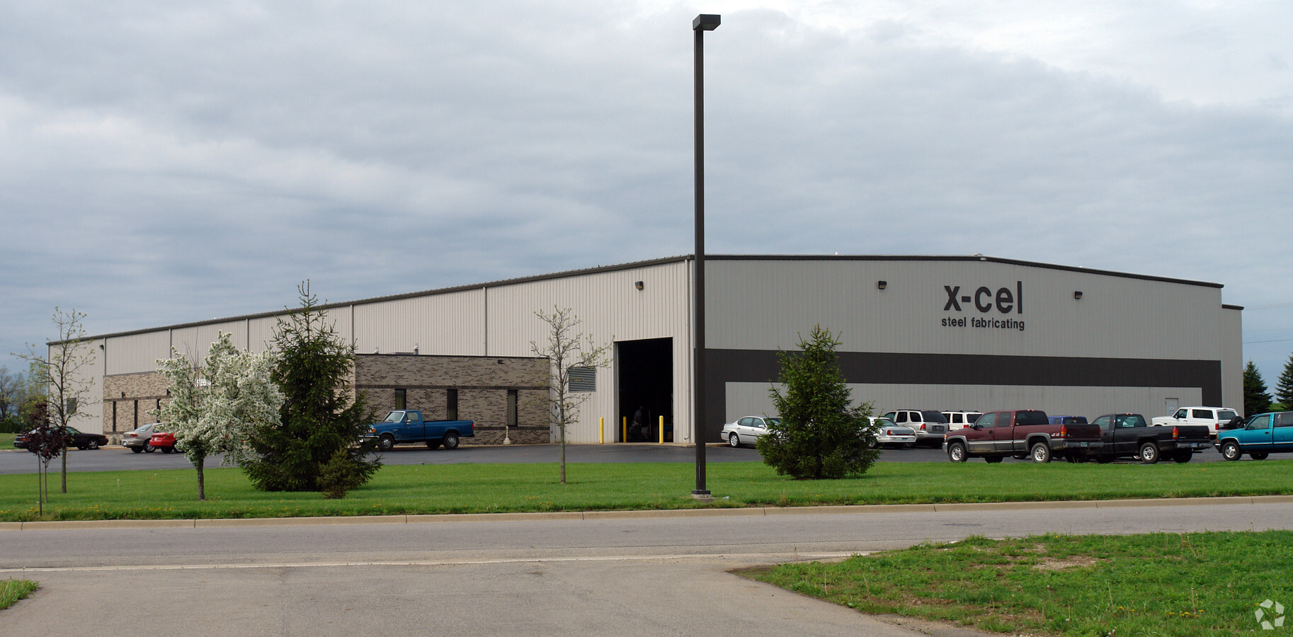
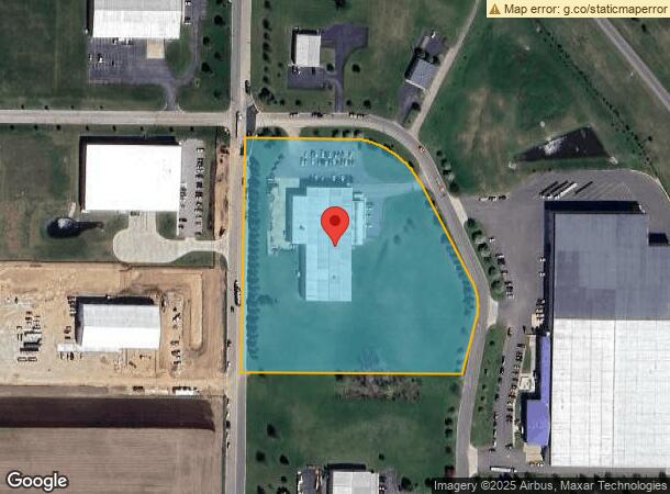
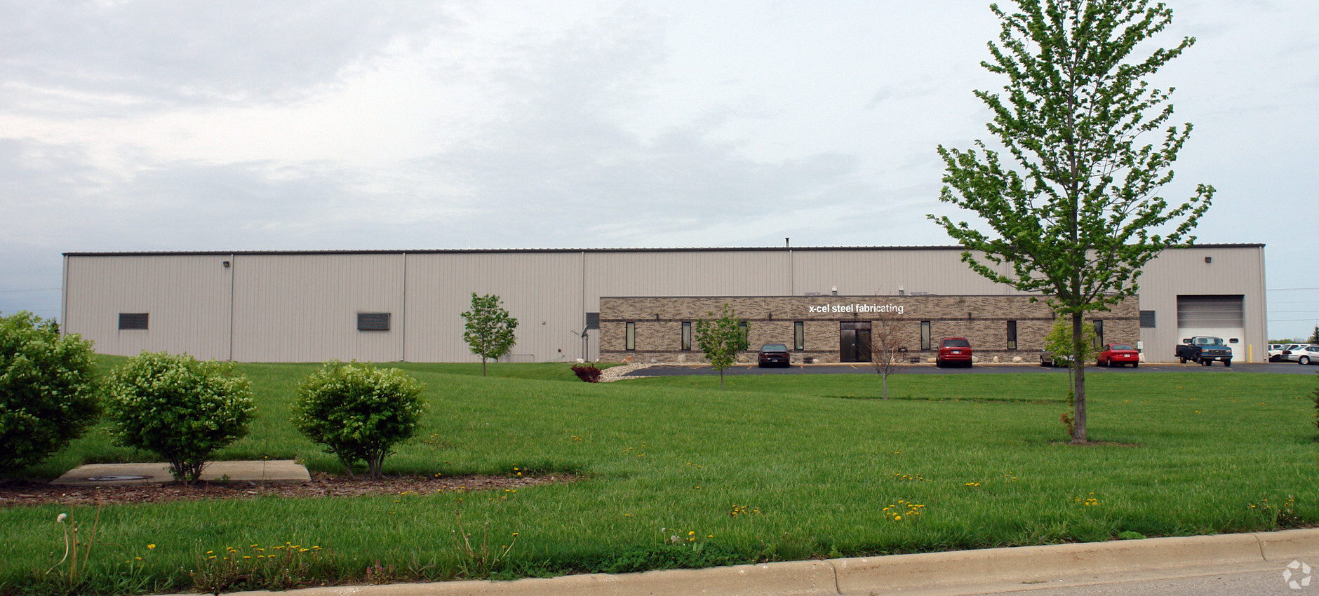
Property Record
1760 Foundation Dr, Niles, MI 49120
NEARBY LISTINGS FOR SALE OR LEASE
Property Detail
1760 Foundation Dr
11-05-0105-0008-07-4
COM 1388.08' S0DEG43'49''W OF W1/4 COR SEC 5 T8S R17W TH E 300.9' TH AROUND A 185' RAD CUR CHD DIST S57DEG11'57''E 200.44' TH
Manufacturinglight
Berrien
X
Michigan
18141C0065D
7.06 AC
2024
Michigan Southwest Area
2024
Other Market Areas
020300
Niles-Benton Harbor, MI
40,572 SF
DEMOGRAPHICS near 1760 Foundation Dr
1 Mile
3 Mile
5 Mile
2024 Total Population
101
6,965
35,391
2029 Population
99
6,807
34,670
Pop Growth 2024-2029
(1.98%)
(2.27%)
(2.04%)
Average Age
46
43
41
2024 Total Households
40
2,826
14,426
HH Growth 2024-2029
0.00%
(2.55%)
(2.23%)
Median Household Inc
$124,999
$61,601
$57,203
Avg Household Size
2.40
2.40
2.30
2024 Avg HH Vehicles
2.00
2.00
2.00
Median Home Value
$287,499
$183,161
$160,166
Median Year Built
1978
1963
1964
Nearby Places
- Restaurants
- Banks
- Shops
- Fitness
- Groceries
PUBLIC TRANSPORTATION
COMMUTER RAIL
Niles Amtrak Station (Blue Water - Amtrak, Wolverine - Amtrak)
DRIVE
WALK
Distance
Niles Amtrak Station (Blue Water - Amtrak, Wolverine - Amtrak)
10 min
5.2 mi
AIRPORT
South Bend International
DRIVE
WALK
Distance
South Bend International
22 min
10.6 mi
Freight Ports
Port Milwaukee
DRIVE
WALK
Distance
Port Milwaukee
217 min
180.1 mi
Nearby Properties
Address
Land Use
TOTAL SIZE
Lot Size
Zoning
Address
Land Use
TOTAL SIZE
Lot Size
Zoning
614,405 SF
105.83 AC
IND INDUST
Address
Land Use
TOTAL SIZE
Lot Size
Zoning
64,958 SF
7 AC
Address
Land Use
TOTAL SIZE
Lot Size
Zoning
114,285 SF
Address
Land Use
TOTAL SIZE
Lot Size
Zoning
127,012 SF
14.88 AC
IND INDUST
Address
Land Use
TOTAL SIZE
Lot Size
Zoning
102,000 SF
Address
Land Use
TOTAL SIZE
Lot Size
Zoning
8,135 SF
202.88 AC
Address
Land Use
TOTAL SIZE
Lot Size
Zoning
269,301 SF
13.71 AC
R-1 SIN
Address
Land Use
TOTAL SIZE
Lot Size
Zoning
137,744 SF
15.42 AC
IND INDUST
Address
Land Use
TOTAL SIZE
Lot Size
Zoning
Address
Land Use
TOTAL SIZE
Lot Size
Zoning
47,520 SF
11.40 AC
R-1 SIN
Address
Land Use
TOTAL SIZE
Lot Size
Zoning
97,905 SF
9.55 AC
MDR
Address
Land Use
TOTAL SIZE
Lot Size
Zoning
24,700 SF
6.46 AC
Address
Land Use
TOTAL SIZE
Lot Size
Zoning
12,540 SF
1.53 AC
R-1 SIN
Address
Land Use
TOTAL SIZE
Lot Size
Zoning
23,294 SF
1.55 AC
R-1 SIN
Address
Land Use
TOTAL SIZE
Lot Size
Zoning
38,180 SF
10 AC
IND INDUST
Address
Land Use
TOTAL SIZE
Lot Size
Zoning
28,753 SF
5.33 AC
R-1 SIN
Address
Land Use
TOTAL SIZE
Lot Size
Zoning
6,564 SF
106.45 AC
Address
Land Use
TOTAL SIZE
Lot Size
Zoning
17,594 SF
2.74 AC
Address
Land Use
TOTAL SIZE
Lot Size
Zoning
44.81 AC
Address
Land Use
TOTAL SIZE
Lot Size
Zoning
43,744 SF
5.85 AC
C
Address
Land Use
TOTAL SIZE
Lot Size
Zoning
53,461 SF
8.39 AC
R-1 SIN
Address
Land Use
TOTAL SIZE
Lot Size
Zoning
21,232 SF
11.11 AC
C COMMERCI
Address
Land Use
TOTAL SIZE
Lot Size
Zoning
Address
Land Use
TOTAL SIZE
Lot Size
Zoning
1,466 SF
103.17 AC
R-R RURAL
Address
Land Use
TOTAL SIZE
Lot Size
Zoning
2,404 SF
85 AC
R-R RURAL
Address
Land Use
TOTAL SIZE
Lot Size
Zoning
53,238 SF
3.94 AC
M-1 LIG
Address
Land Use
TOTAL SIZE
Lot Size
Zoning
1,908 SF
107.50 AC
AG AGRICUL
Address
Land Use
TOTAL SIZE
Lot Size
Zoning
7,881 SF
2.30 AC
Address
Land Use
TOTAL SIZE
Lot Size
Zoning
11,250 SF
0.90 AC
R-1 SIN
The World's #1 Commercial Real Estate Marketplace
Connect with us
© 2025 CoStar Group
The information above has been obtained from sources believed reliable. While we do not doubt its accuracy we have not verified it and make no guarantee, warranty or representation about it. It is your responsibility to independently confirm its accuracy and completeness. Any projections, opinions, assumptions, or estimates used are for example only and do not represent the current or future performance of the property. The value of this transaction to you depends on tax and other factors which should be evaluated by your tax, financial, and legal advisors. You and your advisors should conduct a careful, independent investigation of the property to determine to your satisfaction the suitability of the property for your needs.