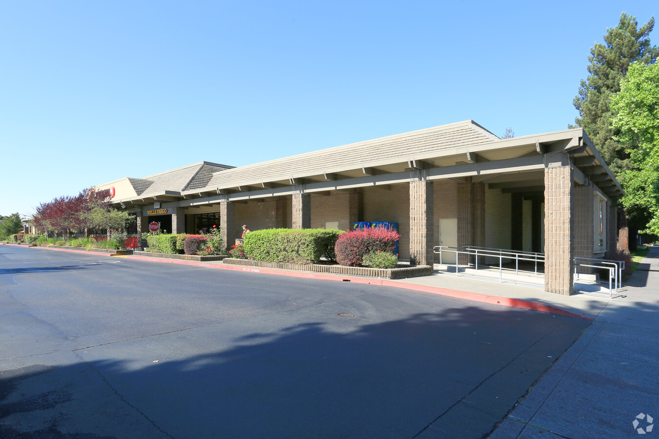
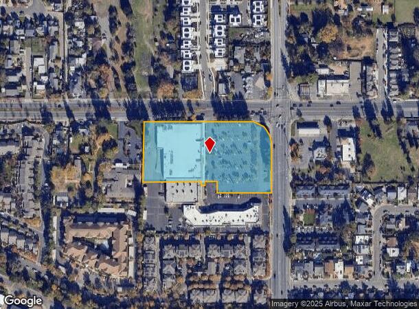
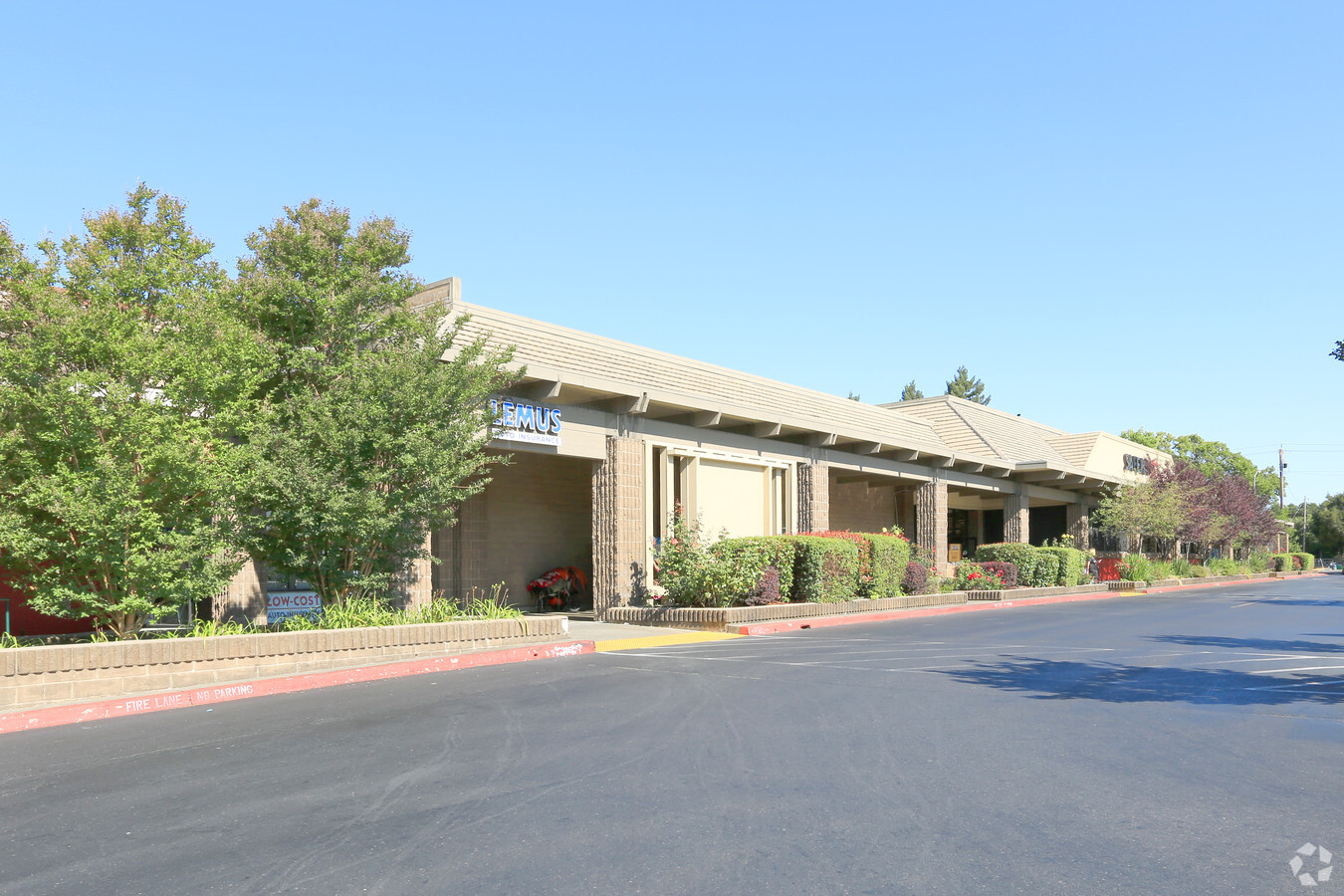
Property Record
1799 Marlow Rd, Santa Rosa, CA 95401
NEARBY LISTINGS FOR SALE OR LEASE
Property Detail
1799 Marlow Rd
Santa Rosa, CA
Parcel Map No 402
152-110-010
85 FM 152-110-08 PT 11 PM 402
Regionalshoppingcenterormallwithanchorstore
Sonoma
X
California
06097C0709E
1
2024
3.76 AC
2023
Santa Rosa
1530064000
North Bay/Santa Rosa
44,861 SF
DEMOGRAPHICS near 1799 Marlow Rd
1 Mile
3 Mile
5 Mile
2024 Total Population
21,421
112,164
186,035
2029 Population
21,136
111,302
184,604
Pop Growth 2024-2029
(1.33%)
(0.77%)
(0.77%)
Average Age
39
40
41
2024 Total Households
7,324
40,430
68,005
HH Growth 2024-2029
(1.31%)
(0.71%)
(0.72%)
Median Household Inc
$98,085
$86,360
$89,319
Avg Household Size
2.80
2.70
2.60
2024 Avg HH Vehicles
2.00
2.00
2.00
Median Home Value
$675,913
$680,522
$715,601
Median Year Built
1980
1980
1980
Nearby Places
- Restaurants
- Banks
- Shops
- Fitness
- Groceries
PUBLIC TRANSPORTATION
COMMUTER RAIL
Santa Rosa North Smart (Main Line - Sonoma Marin Area Rail Transit)
DRIVE
WALK
Distance
Santa Rosa North Smart (Main Line - Sonoma Marin Area Rail Transit)
2 min
19 min
1.0 mi
Santa Rosa Downtown Smart (Main Line - Sonoma Marin Area Rail Transit)
DRIVE
WALK
Distance
Santa Rosa Downtown Smart (Main Line - Sonoma Marin Area Rail Transit)
5 min
2.7 mi
AIRPORT
Charles M Schulz - Sonoma County
DRIVE
WALK
Distance
Charles M Schulz - Sonoma County
13 min
8.0 mi
Freight Ports
Port of Richmond
DRIVE
WALK
Distance
Port of Richmond
66 min
50.8 mi
Nearby Properties
Address
Land Use
TOTAL SIZE
Lot Size
Zoning
Address
Land Use
TOTAL SIZE
Lot Size
Zoning
Address
Land Use
TOTAL SIZE
Lot Size
Zoning
258,134 SF
7.42 AC
CITYSR
Address
Land Use
TOTAL SIZE
Lot Size
Zoning
22.45 AC
MCPD
Address
Land Use
TOTAL SIZE
Lot Size
Zoning
441,698 SF
10.23 AC
C2
Address
Land Use
TOTAL SIZE
Lot Size
Zoning
222,278 SF
13.39 AC
CITYSR
Address
Land Use
TOTAL SIZE
Lot Size
Zoning
447,600 SF
22 AC
Address
Land Use
TOTAL SIZE
Lot Size
Zoning
227,411 SF
9.23 AC
Address
Land Use
TOTAL SIZE
Lot Size
Zoning
260,417 SF
9.13 AC
CITYSR
Address
Land Use
TOTAL SIZE
Lot Size
Zoning
131,210 SF
10.41 AC
Address
Land Use
TOTAL SIZE
Lot Size
Zoning
116,188 SF
6.55 AC
CITYSR
Address
Land Use
TOTAL SIZE
Lot Size
Zoning
119,819 SF
7.37 AC
CITYSR
Address
Land Use
TOTAL SIZE
Lot Size
Zoning
136,609 SF
9.33 AC
CITYSR
Address
Land Use
TOTAL SIZE
Lot Size
Zoning
90,079 SF
3.09 AC
Address
Land Use
TOTAL SIZE
Lot Size
Zoning
90,330 SF
6.72 AC
Address
Land Use
TOTAL SIZE
Lot Size
Zoning
107,765 SF
5.70 AC
CITYSR
Address
Land Use
TOTAL SIZE
Lot Size
Zoning
106,005 SF
10.45 AC
Address
Land Use
TOTAL SIZE
Lot Size
Zoning
87,300 SF
6.64 AC
Address
Land Use
TOTAL SIZE
Lot Size
Zoning
71,800 SF
7.76 AC
CIPD
Address
Land Use
TOTAL SIZE
Lot Size
Zoning
146,611 SF
9.44 AC
Address
Land Use
TOTAL SIZE
Lot Size
Zoning
85,920 SF
5.69 AC
CITYSR
Address
Land Use
TOTAL SIZE
Lot Size
Zoning
205,776 SF
9.96 AC
CITYSR
Address
Land Use
TOTAL SIZE
Lot Size
Zoning
29,397 SF
6.33 AC
Address
Land Use
TOTAL SIZE
Lot Size
Zoning
75,540 SF
9.98 AC
Address
Land Use
TOTAL SIZE
Lot Size
Zoning
161,466 SF
13.82 AC
CITYSR
Address
Land Use
TOTAL SIZE
Lot Size
Zoning
71,739 SF
3.14 AC
Address
Land Use
TOTAL SIZE
Lot Size
Zoning
60,165 SF
4.38 AC
Address
Land Use
TOTAL SIZE
Lot Size
Zoning
33,698 SF
2.94 AC
CITYSR
Address
Land Use
TOTAL SIZE
Lot Size
Zoning
131,502 SF
8.60 AC
Address
Land Use
TOTAL SIZE
Lot Size
Zoning
144,066 SF
8.91 AC
Address
Land Use
TOTAL SIZE
Lot Size
Zoning
109,126 SF
3.91 AC
The World's #1 Commercial Real Estate Marketplace
Connect with us
© 2025 CoStar Group
The information above has been obtained from sources believed reliable. While we do not doubt its accuracy we have not verified it and make no guarantee, warranty or representation about it. It is your responsibility to independently confirm its accuracy and completeness. Any projections, opinions, assumptions, or estimates used are for example only and do not represent the current or future performance of the property. The value of this transaction to you depends on tax and other factors which should be evaluated by your tax, financial, and legal advisors. You and your advisors should conduct a careful, independent investigation of the property to determine to your satisfaction the suitability of the property for your needs.