Property Record
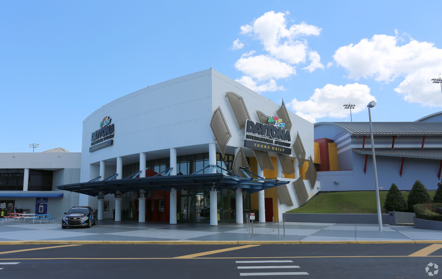
1801 W International Speedway Blvd, Daytona Beach, FL 32114

NEARBY LISTINGS FOR SALE OR LEASE
Property Detail
1801 W International Speedway Blvd
5239-00-00-0740
Williams
Countyproperty
23 15 32 IRREG PARCEL BEING 1527 FT MEAS ON & S OF US 92 & 595.27 FT ON W/L & 733.56 FT ON S/L & 1066.71 FT ON E/L EXC EXC IRREG PARCEL PER OR 3653 PG 0538 EXC DELAWARE NORTH PCD MB 44 PGS 73 & 74 & EXC IRREG PARCEL PER OR 3859 PG 4895 PER OR 6233 PG
AH
Volusia
12127C0362H
Florida
2023
374 AC
2024
South Daytona Beach
092500
Deltona/Daytona Beach
863,820 SF
Deltona-Daytona Beach-Ormond Beach, FL
DEMOGRAPHICS near 1801 W International Speedway Blvd
1 Mile
3 Mile
5 Mile
2024 Total Population
2,727
53,519
136,247
2029 Population
3,091
59,528
152,454
Pop Growth 2024-2029
+ 13.35%
+ 11.23%
+ 11.90%
Average Age
36
39
43
2024 Total Households
1,264
21,411
60,019
HH Growth 2024-2029
+ 13.77%
+ 11.93%
+ 12.37%
Median Household Inc
$40,776
$43,632
$46,768
Avg Household Size
2.00
2.10
2.10
2024 Avg HH Vehicles
1.00
1.00
2.00
Median Home Value
$132,143
$170,829
$192,993
Median Year Built
1985
1981
1980
Nearby Places
- Restaurants
- Banks
- Shops
- Fitness
- Groceries
PUBLIC TRANSPORTATION
AIRPORT
Daytona Beach International
DRIVE
WALK
Distance
Daytona Beach International
12 min
4.3 mi
Orlando Sanford International
DRIVE
WALK
Distance
Orlando Sanford International
59 min
41.1 mi
Freight Ports
Port Canaveral
DRIVE
WALK
Distance
Port Canaveral
88 min
72.3 mi
Nearby Properties
Address
Land Use
TOTAL SIZE
Lot Size
Zoning
Address
Land Use
TOTAL SIZE
Lot Size
Zoning
1,365,998 SF
13 AC
Address
Land Use
TOTAL SIZE
Lot Size
Zoning
664,082 SF
38.16 AC
02BA
Address
Land Use
TOTAL SIZE
Lot Size
Zoning
1,058,116 SF
54.22 AC
Address
Land Use
TOTAL SIZE
Lot Size
Zoning
831,398 SF
25.56 AC
Address
Land Use
TOTAL SIZE
Lot Size
Zoning
497,823 SF
73.48 AC
Address
Land Use
TOTAL SIZE
Lot Size
Zoning
451,526 SF
17.96 AC
Address
Land Use
TOTAL SIZE
Lot Size
Zoning
442,125 SF
0.98 AC
A21
Address
Land Use
TOTAL SIZE
Lot Size
Zoning
353,548 SF
50.65 AC
Address
Land Use
TOTAL SIZE
Lot Size
Zoning
400,964 SF
38.93 AC
Address
Land Use
TOTAL SIZE
Lot Size
Zoning
356,386 SF
0.75 AC
Address
Land Use
TOTAL SIZE
Lot Size
Zoning
425,548 SF
10.16 AC
Address
Land Use
TOTAL SIZE
Lot Size
Zoning
318,707 SF
12.16 AC
Address
Land Use
TOTAL SIZE
Lot Size
Zoning
275,814 SF
13 AC
Address
Land Use
TOTAL SIZE
Lot Size
Zoning
318,230 SF
21.28 AC
Address
Land Use
TOTAL SIZE
Lot Size
Zoning
286,461 SF
945.48 AC
B62
Address
Land Use
TOTAL SIZE
Lot Size
Zoning
303,151 SF
13.58 AC
Address
Land Use
TOTAL SIZE
Lot Size
Zoning
535,856 SF
46.85 AC
Address
Land Use
TOTAL SIZE
Lot Size
Zoning
259,175 SF
23.45 AC
Address
Land Use
TOTAL SIZE
Lot Size
Zoning
226,459 SF
0.57 AC
Address
Land Use
TOTAL SIZE
Lot Size
Zoning
417,015 SF
27.55 AC
Address
Land Use
TOTAL SIZE
Lot Size
Zoning
560,165 SF
37.79 AC
02BR2
Address
Land Use
TOTAL SIZE
Lot Size
Zoning
199,301 SF
21.54 AC
Address
Land Use
TOTAL SIZE
Lot Size
Zoning
208,825 SF
30.30 AC
02BA
Address
Land Use
TOTAL SIZE
Lot Size
Zoning
12,871 SF
0.20 AC
R4
Address
Land Use
TOTAL SIZE
Lot Size
Zoning
280,265 SF
11.95 AC
Address
Land Use
TOTAL SIZE
Lot Size
Zoning
5,774 SF
0.94 AC
B4
Address
Land Use
TOTAL SIZE
Lot Size
Zoning
324,364 SF
11.59 AC
02RPUD
Address
Land Use
TOTAL SIZE
Lot Size
Zoning
153,293 SF
10.95 AC
Address
Land Use
TOTAL SIZE
Lot Size
Zoning
169,917 SF
0.17 AC
02R2A
The World's #1 Commercial Real Estate Marketplace
Connect with us
© 2025 CoStar Group
The information above has been obtained from sources believed reliable. While we do not doubt its accuracy we have not verified it and make no guarantee, warranty or representation about it. It is your responsibility to independently confirm its accuracy and completeness. Any projections, opinions, assumptions, or estimates used are for example only and do not represent the current or future performance of the property. The value of this transaction to you depends on tax and other factors which should be evaluated by your tax, financial, and legal advisors. You and your advisors should conduct a careful, independent investigation of the property to determine to your satisfaction the suitability of the property for your needs.