Property Record
1812 Sam Rittenberg Blvd, Charleston, SC 29407
NEARBY LISTINGS FOR SALE OR LEASE
Property Detail
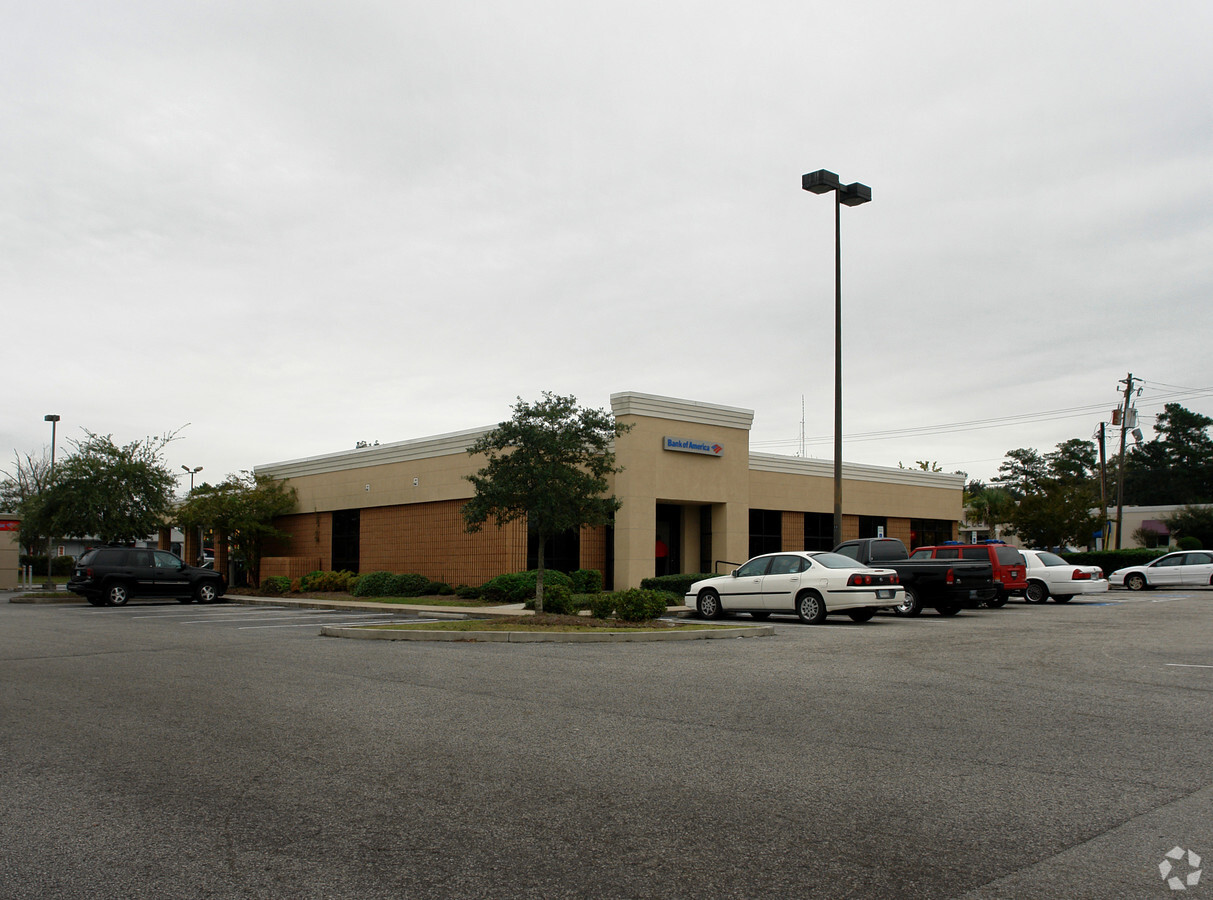
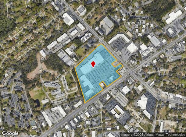
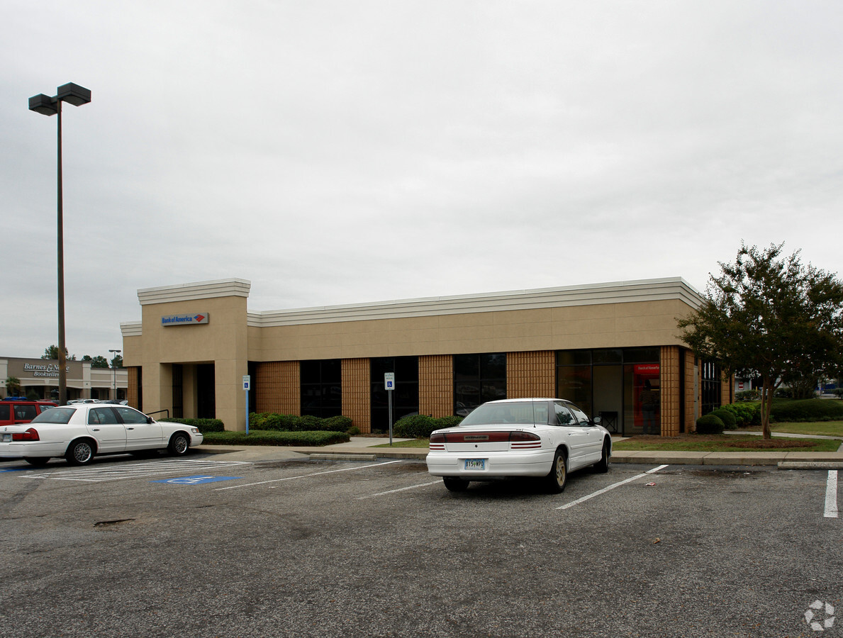
1812 Sam Rittenberg Blvd
351-10-00-001
Westwood Plaza
Storebuilding
LEGAL DESCRIPTION MAPPLATB 0461 MAPPLATP 240 SUBDIVISIONNAME WESTWOOD PLAZA LOT PARCEL PT A & B RE SIDUAL
X
Charleston
45019C0492K
South Carolina
2023
16.31 AC
2023
West Ashley
002701
Charleston/N Charleston
68,168 SF
Charleston-North Charleston, SC
DEMOGRAPHICS near 1812 Sam Rittenberg Blvd
1 Mile
3 Mile
5 Mile
2024 Total Population
11,434
51,136
150,387
2029 Population
12,125
54,422
161,431
Pop Growth 2024-2029
+ 6.04%
+ 6.43%
+ 7.34%
Average Age
39
41
39
2024 Total Households
5,596
23,948
66,270
HH Growth 2024-2029
+ 5.77%
+ 6.25%
+ 7.26%
Median Household Inc
$55,799
$67,693
$65,032
Avg Household Size
2.00
2.10
2.10
2024 Avg HH Vehicles
1.00
2.00
2.00
Median Home Value
$262,314
$337,500
$351,218
Median Year Built
1975
1977
1980
Nearby Places
- Restaurants
- Banks
- Shops
- Fitness
- Groceries
PUBLIC TRANSPORTATION
COMMUTER RAIL
Charleston Amtrak Station (Palmetto - Amtrak, Silver Meteor - Amtrak)
DRIVE
WALK
Distance
Charleston Amtrak Station (Palmetto - Amtrak, Silver Meteor - Amtrak)
11 min
6.7 mi
AIRPORT
Charleston AFB/International
DRIVE
WALK
Distance
Charleston AFB/International
16 min
10.3 mi
Freight Ports
Columbus Street Terminal
DRIVE
WALK
Distance
Columbus Street Terminal
12 min
6.0 mi
Nearby Properties
Address
Land Use
TOTAL SIZE
Lot Size
Zoning
Address
Land Use
TOTAL SIZE
Lot Size
Zoning
36,587 SF
17.75 AC
Address
Land Use
TOTAL SIZE
Lot Size
Zoning
17,271 SF
3.65 AC
Address
Land Use
TOTAL SIZE
Lot Size
Zoning
6,036 SF
8.79 AC
Address
Land Use
TOTAL SIZE
Lot Size
Zoning
5.54 AC
Address
Land Use
TOTAL SIZE
Lot Size
Zoning
16,917 SF
2.40 AC
Address
Land Use
TOTAL SIZE
Lot Size
Zoning
50,356 SF
5.19 AC
Address
Land Use
TOTAL SIZE
Lot Size
Zoning
6,531 SF
3.11 AC
Address
Land Use
TOTAL SIZE
Lot Size
Zoning
3,520 SF
7.70 AC
Address
Land Use
TOTAL SIZE
Lot Size
Zoning
26,010 SF
4.32 AC
Address
Land Use
TOTAL SIZE
Lot Size
Zoning
7.09 AC
Address
Land Use
TOTAL SIZE
Lot Size
Zoning
34,609 SF
3.57 AC
Address
Land Use
TOTAL SIZE
Lot Size
Zoning
25,749 SF
2.49 AC
Address
Land Use
TOTAL SIZE
Lot Size
Zoning
Address
Land Use
TOTAL SIZE
Lot Size
Zoning
5,421 SF
22.92 AC
Address
Land Use
TOTAL SIZE
Lot Size
Zoning
75,984 SF
2.15 AC
Address
Land Use
TOTAL SIZE
Lot Size
Zoning
11,300 SF
25.42 AC
Address
Land Use
TOTAL SIZE
Lot Size
Zoning
9,778 SF
11.90 AC
Address
Land Use
TOTAL SIZE
Lot Size
Zoning
11,840 SF
9.66 AC
Address
Land Use
TOTAL SIZE
Lot Size
Zoning
33,756 SF
2.52 AC
Address
Land Use
TOTAL SIZE
Lot Size
Zoning
24,752 SF
9.11 AC
Address
Land Use
TOTAL SIZE
Lot Size
Zoning
4,060 SF
27.84 AC
Address
Land Use
TOTAL SIZE
Lot Size
Zoning
Address
Land Use
TOTAL SIZE
Lot Size
Zoning
105,816 SF
16.34 AC
Address
Land Use
TOTAL SIZE
Lot Size
Zoning
14.07 AC
Address
Land Use
TOTAL SIZE
Lot Size
Zoning
35.14 AC
Address
Land Use
TOTAL SIZE
Lot Size
Zoning
7,316 SF
12.09 AC
Address
Land Use
TOTAL SIZE
Lot Size
Zoning
7,237 SF
1.17 AC
Address
Land Use
TOTAL SIZE
Lot Size
Zoning
Address
Land Use
TOTAL SIZE
Lot Size
Zoning
1.11 AC
Address
Land Use
TOTAL SIZE
Lot Size
Zoning
63,072 SF
10.65 AC
The World's #1 Commercial Real Estate Marketplace
Connect with us
© 2025 CoStar Group
The information above has been obtained from sources believed reliable. While we do not doubt its accuracy we have not verified it and make no guarantee, warranty or representation about it. It is your responsibility to independently confirm its accuracy and completeness. Any projections, opinions, assumptions, or estimates used are for example only and do not represent the current or future performance of the property. The value of this transaction to you depends on tax and other factors which should be evaluated by your tax, financial, and legal advisors. You and your advisors should conduct a careful, independent investigation of the property to determine to your satisfaction the suitability of the property for your needs.