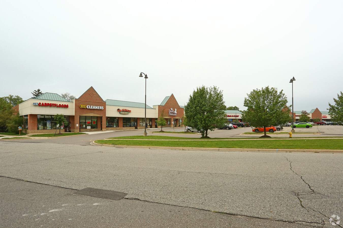
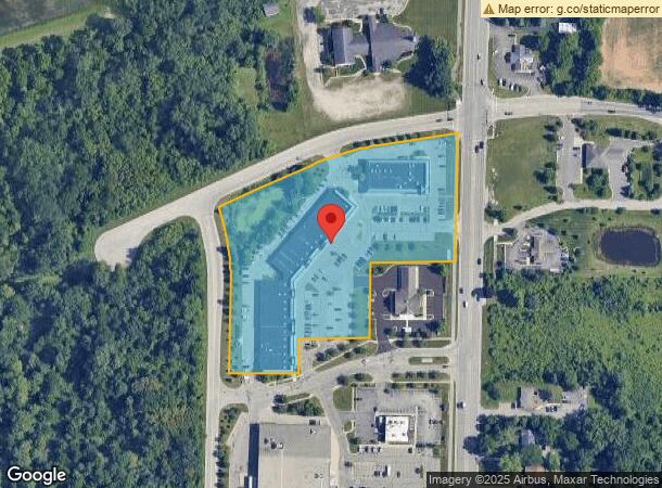
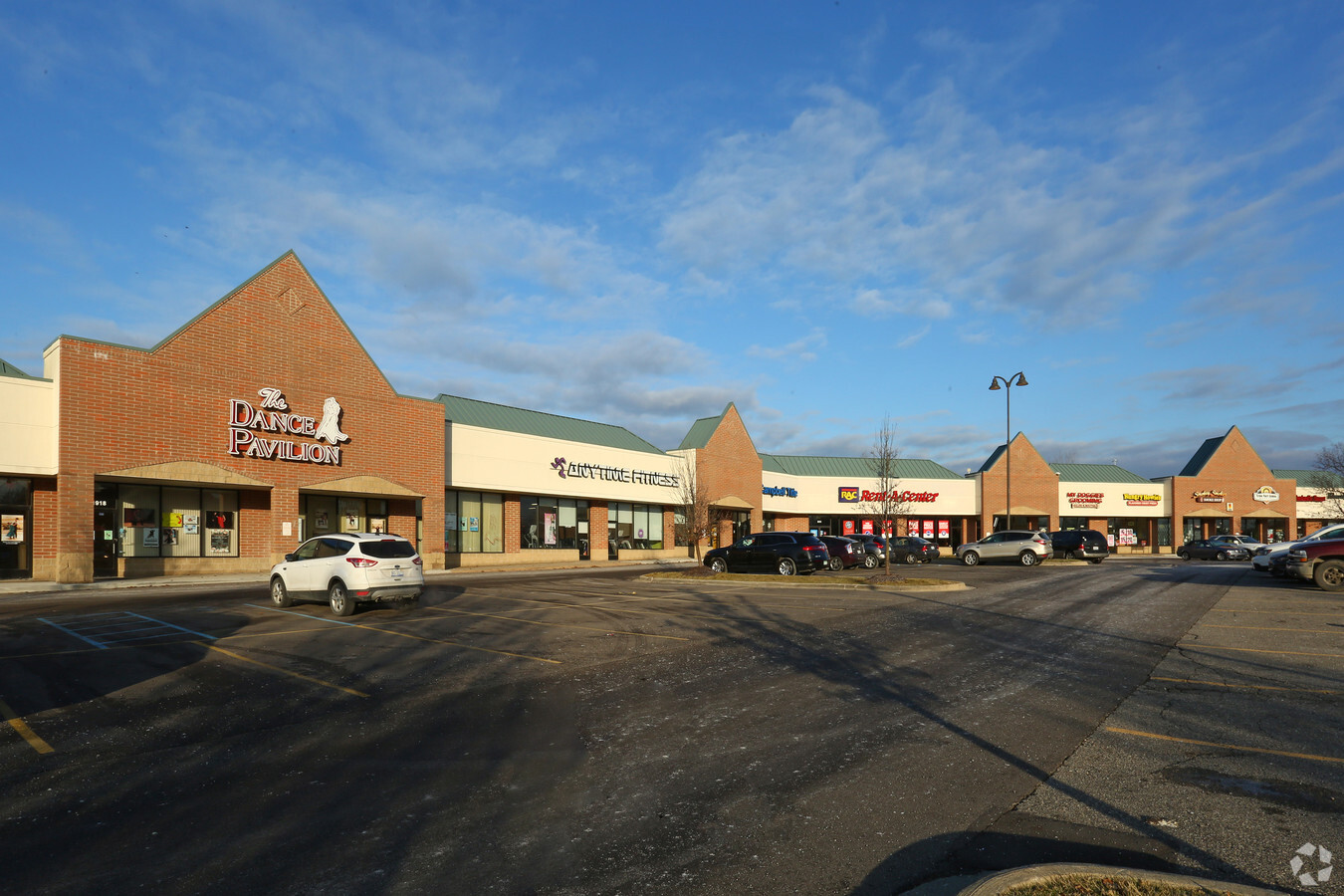
Property Record
1816 Whittaker Rd, Ypsilanti, MI 48197
NEARBY LISTINGS FOR SALE OR LEASE
-
-
-
-
-
-
No Photo
-
-
View all Ypsilanti listings for lease on LoopNet.com
Property Detail
1816 Whittaker Rd
11-21-200-038
COMMENCING AT THE WEST 1/4 CORNER OF SECTION 21; THENCE N 01-39-27 W 367.32' ALONG THE WEST LINE OF SAID SECTION 21; THENCE N
Stripcommercialcenter
Washtenaw
X
Michigan
26161C0430E
6.02 AC
0
Washtenaw E of 23
2024
Detroit
4134031005
Ann Arbor, MI
21,250 SF
DEMOGRAPHICS near 1816 Whittaker Rd
1 Mile
3 Mile
5 Mile
2024 Total Population
1,256
65,247
123,955
2029 Population
1,247
64,419
122,499
Pop Growth 2024-2029
(0.72%)
(1.27%)
(1.17%)
Average Age
40
37
38
2024 Total Households
483
26,789
51,175
HH Growth 2024-2029
(0.83%)
(1.38%)
(1.34%)
Median Household Inc
$86,842
$61,332
$59,753
Avg Household Size
2.50
2.30
2.30
2024 Avg HH Vehicles
2.00
2.00
2.00
Median Home Value
$266,532
$212,100
$215,466
Median Year Built
1976
1973
1975
Nearby Places
- Restaurants
- Banks
- Shops
- Fitness
- Groceries
PUBLIC TRANSPORTATION
AIRPORT
Detroit Metro Wayne County
DRIVE
WALK
Distance
Detroit Metro Wayne County
23 min
17.5 mi
Freight Ports
Port of Toledo
DRIVE
WALK
Distance
Port of Toledo
73 min
59.2 mi
SALE & LEASE HISTORY
LISTING DATE
SALE/LEASE

Sep 25, 2016
For Lease
Sep 25, 2016
For Lease
Mar 15, 2017
For Lease
Jan 26, 2018
For Lease
Nearby Properties
Address
Land Use
TOTAL SIZE
Lot Size
Zoning
Address
Land Use
TOTAL SIZE
Lot Size
Zoning
126,574 SF
177.04 AC
BA
Address
Land Use
TOTAL SIZE
Lot Size
Zoning
17,672 SF
33.37 AC
BI
Address
Land Use
TOTAL SIZE
Lot Size
Zoning
27,603 SF
35.42 AC
BI
Address
Land Use
TOTAL SIZE
Lot Size
Zoning
34,560 SF
24.30 AC
BI
Address
Land Use
TOTAL SIZE
Lot Size
Zoning
97.69 AC
Address
Land Use
TOTAL SIZE
Lot Size
Zoning
26,146 SF
7.35 AC
BI
Address
Land Use
TOTAL SIZE
Lot Size
Zoning
18,110 SF
14.80 AC
BI
Address
Land Use
TOTAL SIZE
Lot Size
Zoning
12,747 SF
22.86 AC
BA
Address
Land Use
TOTAL SIZE
Lot Size
Zoning
19,692 SF
21.22 AC
BA
Address
Land Use
TOTAL SIZE
Lot Size
Zoning
6,192 SF
19.02 AC
BA
Address
Land Use
TOTAL SIZE
Lot Size
Zoning
32,974 SF
29.96 AC
BA
Address
Land Use
TOTAL SIZE
Lot Size
Zoning
12,288 SF
18.17 AC
SPLIT
Address
Land Use
TOTAL SIZE
Lot Size
Zoning
11,630 SF
17.36 AC
BA
Address
Land Use
TOTAL SIZE
Lot Size
Zoning
259,778 SF
25.39 AC
Address
Land Use
TOTAL SIZE
Lot Size
Zoning
69,790 SF
6.35 AC
II
Address
Land Use
TOTAL SIZE
Lot Size
Zoning
124,513 SF
3.79 AC
GC
Address
Land Use
TOTAL SIZE
Lot Size
Zoning
1,913 SF
43.08 AC
Address
Land Use
TOTAL SIZE
Lot Size
Zoning
48,756 SF
5 AC
CN
Address
Land Use
TOTAL SIZE
Lot Size
Zoning
Address
Land Use
TOTAL SIZE
Lot Size
Zoning
19,008 SF
9.68 AC
Address
Land Use
TOTAL SIZE
Lot Size
Zoning
11.42 AC
Address
Land Use
TOTAL SIZE
Lot Size
Zoning
1,913 SF
23.63 AC
BA
Address
Land Use
TOTAL SIZE
Lot Size
Zoning
5,813 SF
18.91 AC
Address
Land Use
TOTAL SIZE
Lot Size
Zoning
14,937 SF
8.98 AC
SPLIT
Address
Land Use
TOTAL SIZE
Lot Size
Zoning
Address
Land Use
TOTAL SIZE
Lot Size
Zoning
79,744 SF
5.39 AC
Address
Land Use
TOTAL SIZE
Lot Size
Zoning
12,747 SF
7.37 AC
BA
Address
Land Use
TOTAL SIZE
Lot Size
Zoning
31,780 SF
16.77 AC
BI
Address
Land Use
TOTAL SIZE
Lot Size
Zoning
12,430 SF
5.51 AC
BA
Address
Land Use
TOTAL SIZE
Lot Size
Zoning
76,719 SF
11.69 AC
HHS
The World's #1 Commercial Real Estate Marketplace
Connect with us
© 2025 CoStar Group
The information above has been obtained from sources believed reliable. While we do not doubt its accuracy we have not verified it and make no guarantee, warranty or representation about it. It is your responsibility to independently confirm its accuracy and completeness. Any projections, opinions, assumptions, or estimates used are for example only and do not represent the current or future performance of the property. The value of this transaction to you depends on tax and other factors which should be evaluated by your tax, financial, and legal advisors. You and your advisors should conduct a careful, independent investigation of the property to determine to your satisfaction the suitability of the property for your needs.