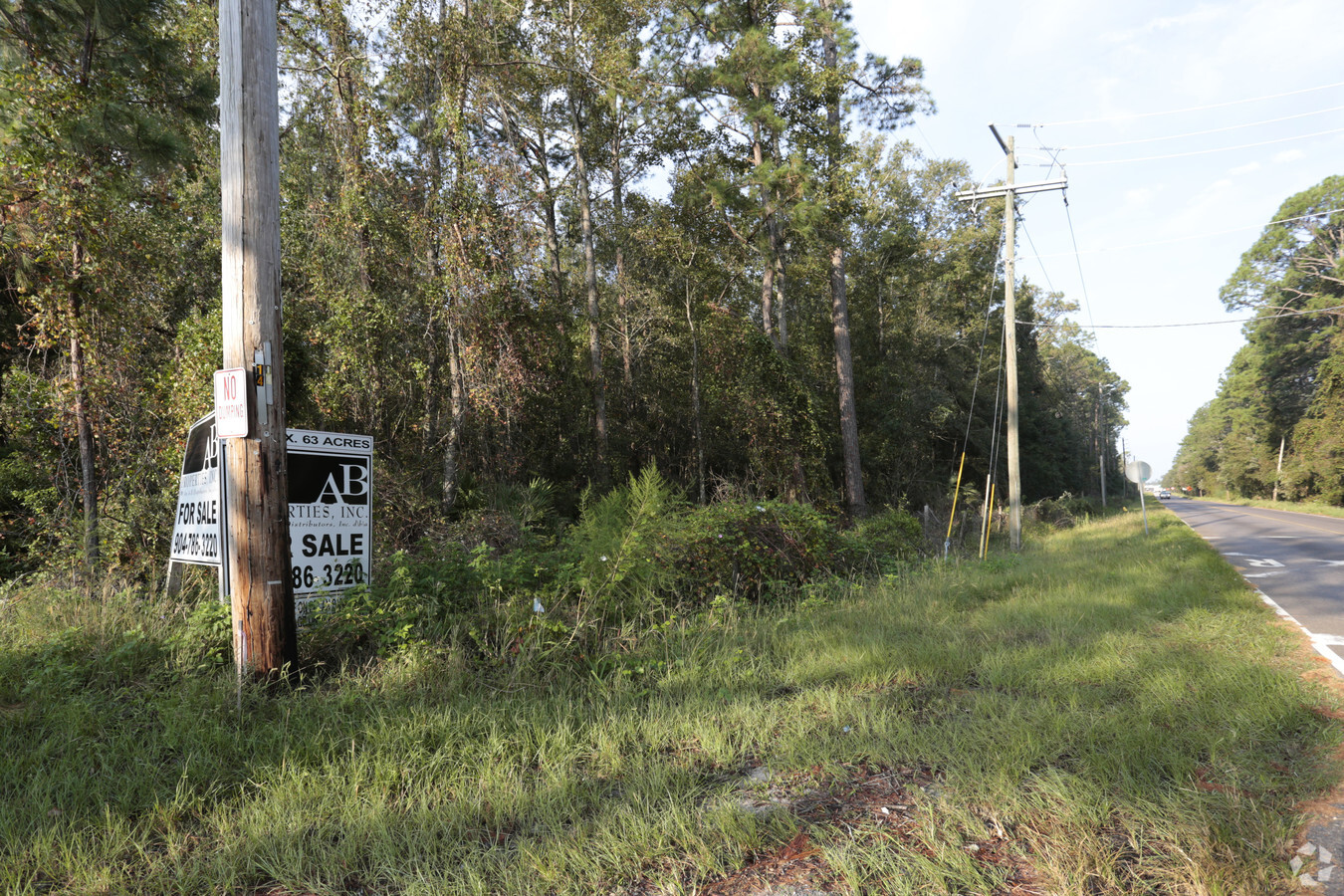
Property Record
186 Pecan Park Rd, Jacksonville, FL 32218
NEARBY LISTINGS FOR SALE OR LEASE
Property Detail
186 Pecan Park Rd
Jacksonville, FL
Tisons S/D Pt Seton Grant
108131-0000
1-150 40-1N-27E 31.08 TISONS S/D PT LOT 8 RECD O/R 20237-673, PT RW RW CLOSING RECD O/R 20633-1447 LYING E THEREOF
Industrialacreage
Duval
X
Florida
12031C0065J
8
2023
32.90 AC
2024
Northeast Jacksonville
010308
Jacksonville (Florida)
9,750 SF
DEMOGRAPHICS near 186 Pecan Park Rd
1 Mile
3 Mile
5 Mile
2024 Total Population
2,265
19,040
44,759
2029 Population
2,390
20,282
47,338
Pop Growth 2024-2029
+ 5.52%
+ 6.52%
+ 5.76%
Average Age
35
38
38
2024 Total Households
766
6,969
16,573
HH Growth 2024-2029
+ 5.61%
+ 6.89%
+ 6.12%
Median Household Inc
$101,136
$77,713
$75,397
Avg Household Size
2.80
2.60
2.60
2024 Avg HH Vehicles
2.00
2.00
2.00
Median Home Value
$264,983
$260,373
$262,845
Median Year Built
2010
2007
2004
Nearby Places
- Restaurants
- Banks
- Shops
- Fitness
- Groceries
PUBLIC TRANSPORTATION
AIRPORT
Jacksonville International
DRIVE
WALK
Distance
Jacksonville International
12 min
5.2 mi
Freight Ports
Jacksonville Port
DRIVE
WALK
Distance
Jacksonville Port
22 min
15.5 mi
Nearby Properties
Address
Land Use
TOTAL SIZE
Lot Size
Zoning
Address
Land Use
TOTAL SIZE
Lot Size
Zoning
371,466 SF
42.67 AC
PUD
Address
Land Use
TOTAL SIZE
Lot Size
Zoning
189,895 SF
35.11 AC
PUD
Address
Land Use
TOTAL SIZE
Lot Size
Zoning
226,421 SF
1.89 AC
PUD
Address
Land Use
TOTAL SIZE
Lot Size
Zoning
328,039 SF
18.88 AC
PUD
Address
Land Use
TOTAL SIZE
Lot Size
Zoning
240,988 SF
18.11 AC
PUD
Address
Land Use
TOTAL SIZE
Lot Size
Zoning
640,660 SF
28.30 AC
PUD
Address
Land Use
TOTAL SIZE
Lot Size
Zoning
317,695 SF
15.88 AC
PUD
Address
Land Use
TOTAL SIZE
Lot Size
Zoning
317,815 SF
17.56 AC
PUD
Address
Land Use
TOTAL SIZE
Lot Size
Zoning
163,276 SF
8.39 AC
PUD
Address
Land Use
TOTAL SIZE
Lot Size
Zoning
197,526 SF
11.98 AC
PUD
Address
Land Use
TOTAL SIZE
Lot Size
Zoning
117,647 SF
10.17 AC
PUD
Address
Land Use
TOTAL SIZE
Lot Size
Zoning
264,117 SF
22.48 AC
PUD
Address
Land Use
TOTAL SIZE
Lot Size
Zoning
201,300 SF
15.83 AC
PUD
Address
Land Use
TOTAL SIZE
Lot Size
Zoning
235,864 SF
18.14 AC
PUD
Address
Land Use
TOTAL SIZE
Lot Size
Zoning
317,321 SF
110.85 AC
PBF-1
Address
Land Use
TOTAL SIZE
Lot Size
Zoning
90,363 SF
11.12 AC
PUD
Address
Land Use
TOTAL SIZE
Lot Size
Zoning
110,968 SF
5.75 AC
PUD
Address
Land Use
TOTAL SIZE
Lot Size
Zoning
28,653 SF
2.89 AC
PUD
Address
Land Use
TOTAL SIZE
Lot Size
Zoning
86,637 SF
8.09 AC
CCG-1
Address
Land Use
TOTAL SIZE
Lot Size
Zoning
36,288 SF
2.24 AC
CCG-1
Address
Land Use
TOTAL SIZE
Lot Size
Zoning
28,892 SF
3.39 AC
PUD
Address
Land Use
TOTAL SIZE
Lot Size
Zoning
81,802 SF
9.34 AC
PUD
Address
Land Use
TOTAL SIZE
Lot Size
Zoning
107,625 SF
9.08 AC
PUD
Address
Land Use
TOTAL SIZE
Lot Size
Zoning
28,377 SF
2.30 AC
CCG-1
Address
Land Use
TOTAL SIZE
Lot Size
Zoning
125,300 SF
13.47 AC
PUD
Address
Land Use
TOTAL SIZE
Lot Size
Zoning
146,448 SF
10.21 AC
IBP
Address
Land Use
TOTAL SIZE
Lot Size
Zoning
32,744 SF
3.68 AC
CCG-1
Address
Land Use
TOTAL SIZE
Lot Size
Zoning
283,827 SF
98.64 AC
IL
Address
Land Use
TOTAL SIZE
Lot Size
Zoning
101,383 SF
7.56 AC
PUD
Address
Land Use
TOTAL SIZE
Lot Size
Zoning
39,102 SF
2.88 AC
PUD
The World's #1 Commercial Real Estate Marketplace
Connect with us
© 2025 CoStar Group
The information above has been obtained from sources believed reliable. While we do not doubt its accuracy we have not verified it and make no guarantee, warranty or representation about it. It is your responsibility to independently confirm its accuracy and completeness. Any projections, opinions, assumptions, or estimates used are for example only and do not represent the current or future performance of the property. The value of this transaction to you depends on tax and other factors which should be evaluated by your tax, financial, and legal advisors. You and your advisors should conduct a careful, independent investigation of the property to determine to your satisfaction the suitability of the property for your needs.