Property Record
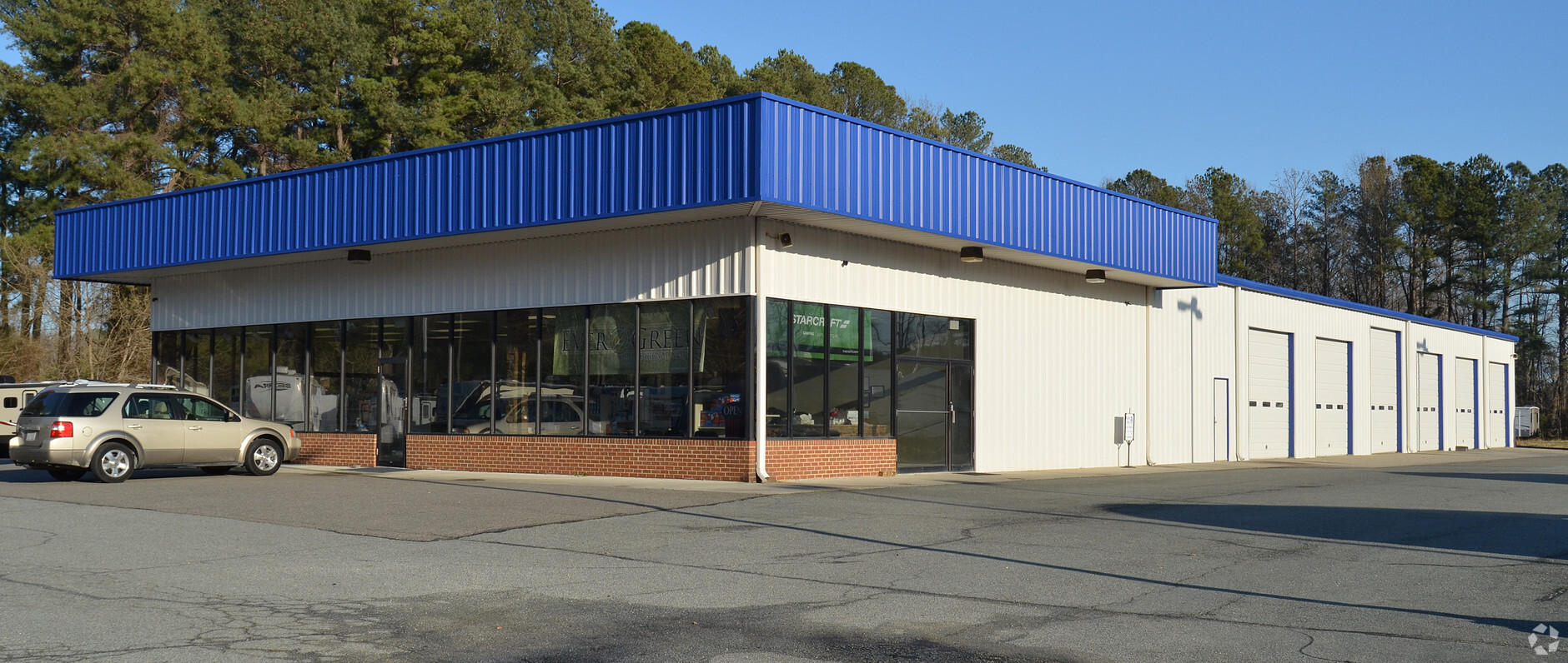
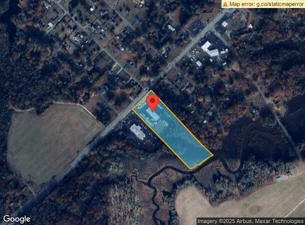
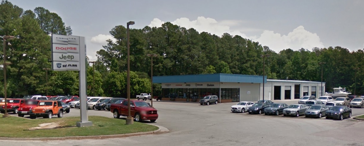
18727 Eltham Rd, West Point, VA 23181
NEARBY LISTINGS FOR SALE OR LEASE
Property Detail
18727 Eltham Rd
28 24
ADJ R T MARSTON LOT 2 6.93 AC PB 11/107
Commercialnec
New Kent
AE
Virginia
51101C0290F
24
2024
6.93 AC
2024
New Kent County
700302
Richmond VA
4,026 SF
Richmond, VA
DEMOGRAPHICS near 18727 Eltham Rd
1 Mile
3 Mile
5 Mile
2024 Total Population
734
4,402
7,316
2029 Population
891
5,017
8,352
Pop Growth 2024-2029
+ 21.39%
+ 13.97%
+ 14.16%
Average Age
42
41
42
2024 Total Households
237
1,610
2,675
HH Growth 2024-2029
+ 21.94%
+ 13.35%
+ 13.38%
Median Household Inc
$114,453
$87,141
$87,872
Avg Household Size
2.70
2.50
2.50
2024 Avg HH Vehicles
3.00
3.00
3.00
Median Home Value
$322,449
$260,642
$262,372
Median Year Built
1991
1976
1978
Nearby Places
- Restaurants
- Banks
- Shops
- Fitness
- Groceries
PUBLIC TRANSPORTATION
AIRPORT
Richmond International
DRIVE
WALK
Distance
Richmond International
39 min
31.0 mi
Freight Ports
Virginia Port Authority - Richmond
DRIVE
WALK
Distance
Virginia Port Authority - Richmond
53 min
40.3 mi
Nearby Properties
Address
Land Use
TOTAL SIZE
Lot Size
Zoning
Address
Land Use
TOTAL SIZE
Lot Size
Zoning
16.40 AC
IND
Address
Land Use
TOTAL SIZE
Lot Size
Zoning
81,780 SF
11.38 AC
MU-1
Address
Land Use
TOTAL SIZE
Lot Size
Zoning
5,568 SF
47.79 AC
IND
Address
Land Use
TOTAL SIZE
Lot Size
Zoning
12,960 SF
8.24 AC
M-2
Address
Land Use
TOTAL SIZE
Lot Size
Zoning
17,378 SF
23.73 AC
IND
Address
Land Use
TOTAL SIZE
Lot Size
Zoning
7,188 SF
6.67 AC
BUS
Address
Land Use
TOTAL SIZE
Lot Size
Zoning
208.45 AC
IND
Address
Land Use
TOTAL SIZE
Lot Size
Zoning
29,920 SF
0.14 AC
B-1
Address
Land Use
TOTAL SIZE
Lot Size
Zoning
5,400 SF
15.32 AC
M-1
Address
Land Use
TOTAL SIZE
Lot Size
Zoning
360 SF
77.85 AC
IND
Address
Land Use
TOTAL SIZE
Lot Size
Zoning
7,560 SF
9.89 AC
IND
Address
Land Use
TOTAL SIZE
Lot Size
Zoning
8,050 SF
59.80 AC
IND
Address
Land Use
TOTAL SIZE
Lot Size
Zoning
4,290 SF
1.62 AC
B-1
Address
Land Use
TOTAL SIZE
Lot Size
Zoning
2.24 AC
A1
Address
Land Use
TOTAL SIZE
Lot Size
Zoning
4,198 SF
2.15 AC
BUS
Address
Land Use
TOTAL SIZE
Lot Size
Zoning
18,853 SF
4.89 AC
M-1
Address
Land Use
TOTAL SIZE
Lot Size
Zoning
8,500 SF
0.27 AC
B-1
Address
Land Use
TOTAL SIZE
Lot Size
Zoning
43 AC
A1
Address
Land Use
TOTAL SIZE
Lot Size
Zoning
20,856 SF
6.56 AC
SD-1
Address
Land Use
TOTAL SIZE
Lot Size
Zoning
22,213 SF
2 AC
IND
Address
Land Use
TOTAL SIZE
Lot Size
Zoning
3,400 SF
16.76 AC
IND
Address
Land Use
TOTAL SIZE
Lot Size
Zoning
900 SF
10.72 AC
IND
Address
Land Use
TOTAL SIZE
Lot Size
Zoning
93.10 AC
R-1
Address
Land Use
TOTAL SIZE
Lot Size
Zoning
4,473 SF
0.13 AC
B-2
Address
Land Use
TOTAL SIZE
Lot Size
Zoning
2,400 SF
3.75 AC
IND
Address
Land Use
TOTAL SIZE
Lot Size
Zoning
3,029 SF
B-1
Address
Land Use
TOTAL SIZE
Lot Size
Zoning
4,107 SF
0.72 AC
R-1
The World's #1 Commercial Real Estate Marketplace
Connect with us
© 2025 CoStar Group
The information above has been obtained from sources believed reliable. While we do not doubt its accuracy we have not verified it and make no guarantee, warranty or representation about it. It is your responsibility to independently confirm its accuracy and completeness. Any projections, opinions, assumptions, or estimates used are for example only and do not represent the current or future performance of the property. The value of this transaction to you depends on tax and other factors which should be evaluated by your tax, financial, and legal advisors. You and your advisors should conduct a careful, independent investigation of the property to determine to your satisfaction the suitability of the property for your needs.